Introduction
Neilston cemetery is one of four in East Renfrewshire and was established to serve the communities of Barrhead, Neilston and Uplawmoor. The landscape is in good repair and is maintained by the local council.
Terrain
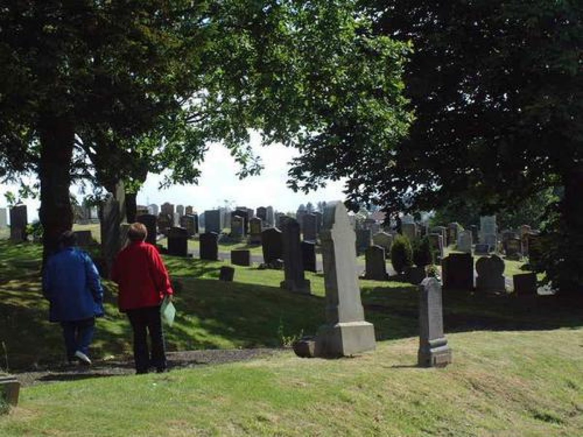
Cemetery generally level but slope to the north-west
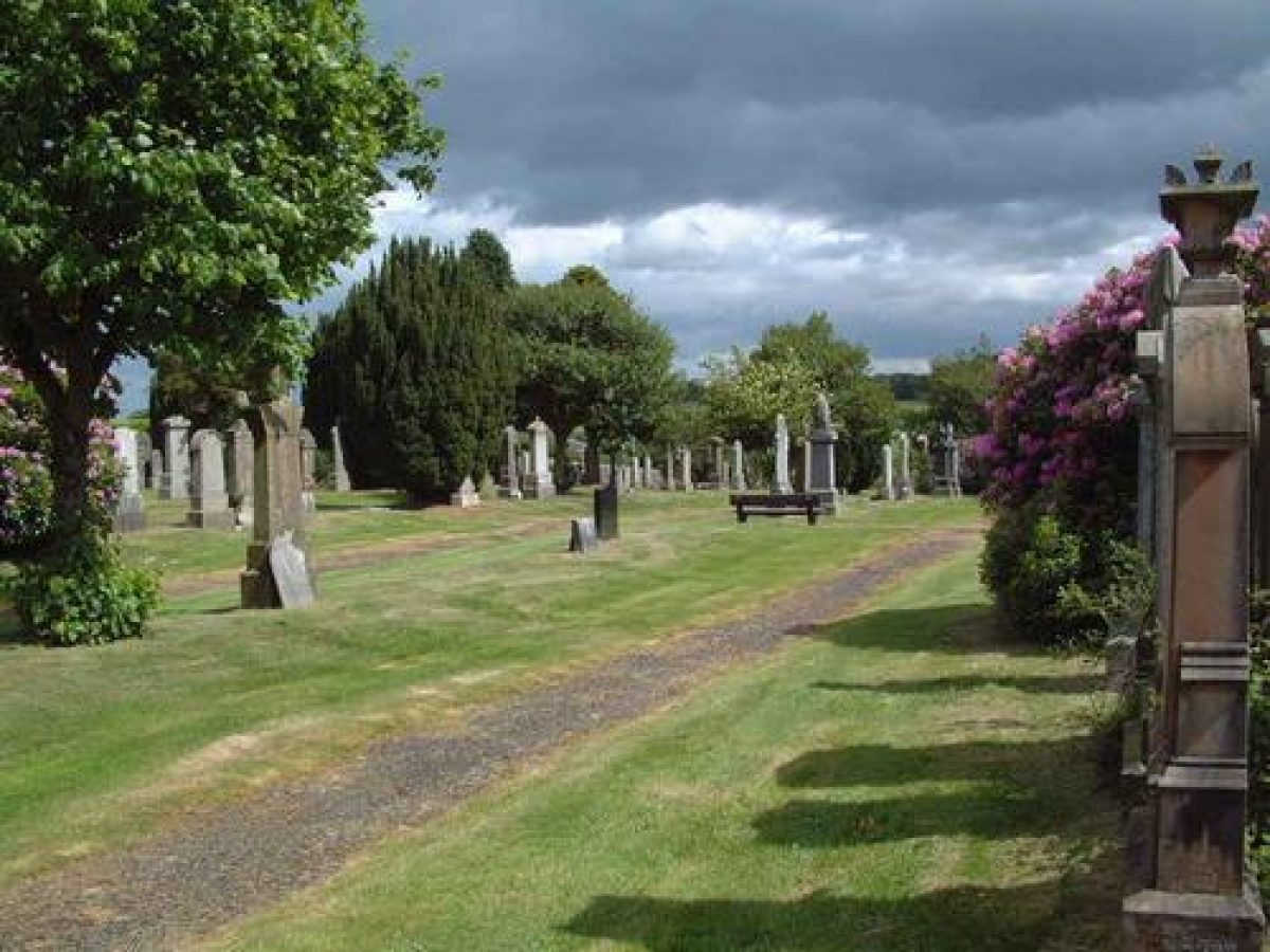
Today Neilston Cemetery is a well-maintained site retaining many of its original features, with the main phases of its development clearly visible.
The gate lodge, toilets and shelter are of roughcast brick construction with slate roofs. All three buildings are unused, but secured, and appear to be in fairly good state of repair. The ruined glasshouse and cold frames were removed during the course of this survey in 2009 and the drinking fountain recorded on the 1913 and 1947 maps has completely disappeared.
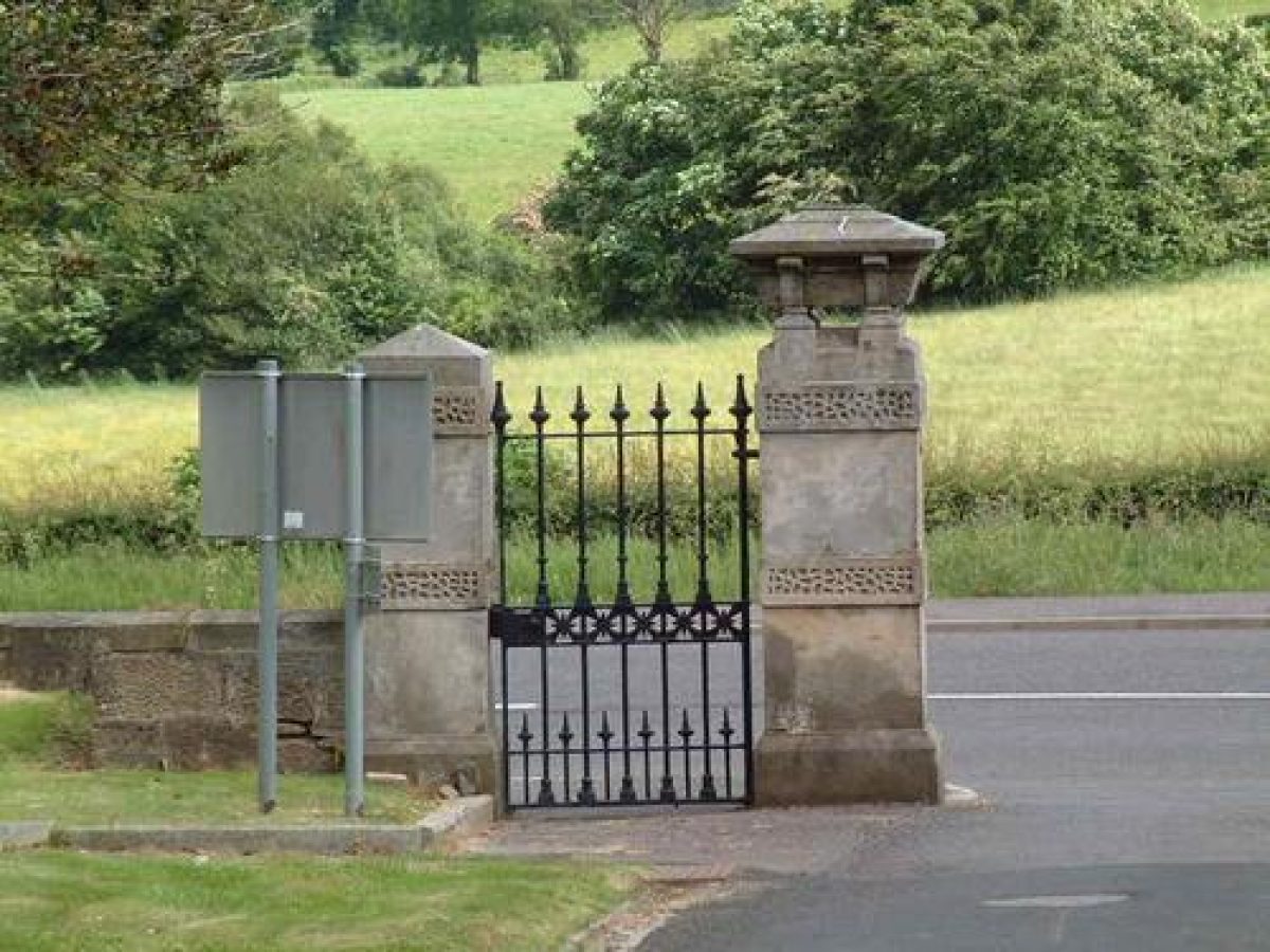
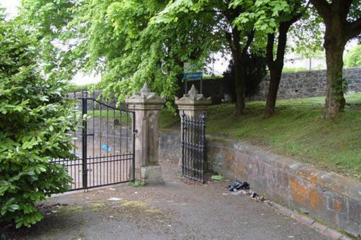
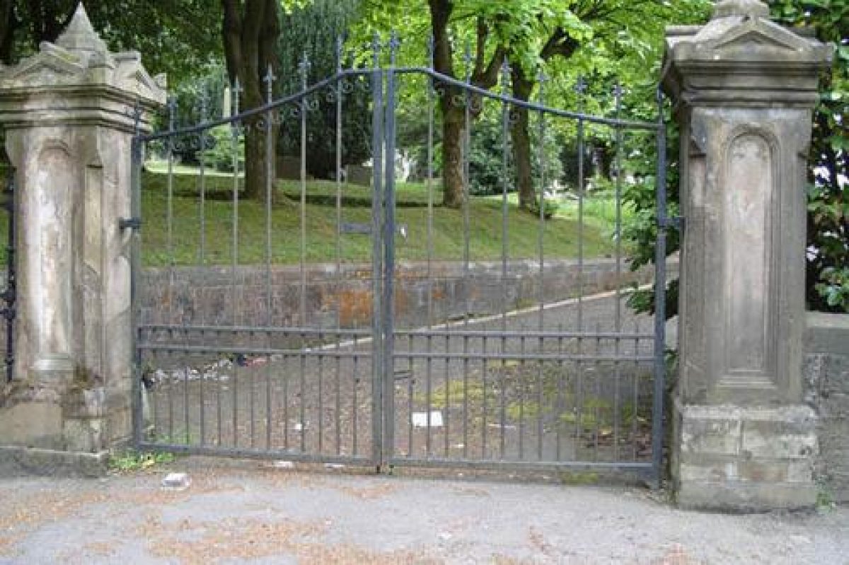
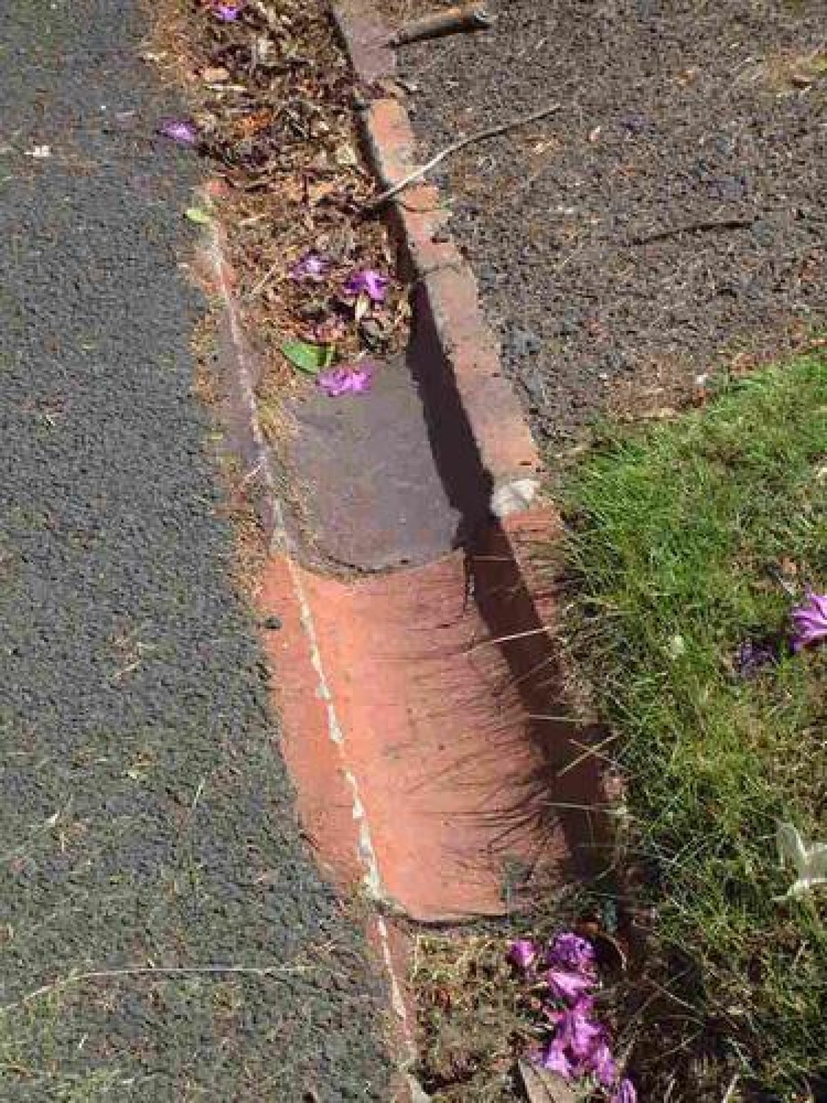
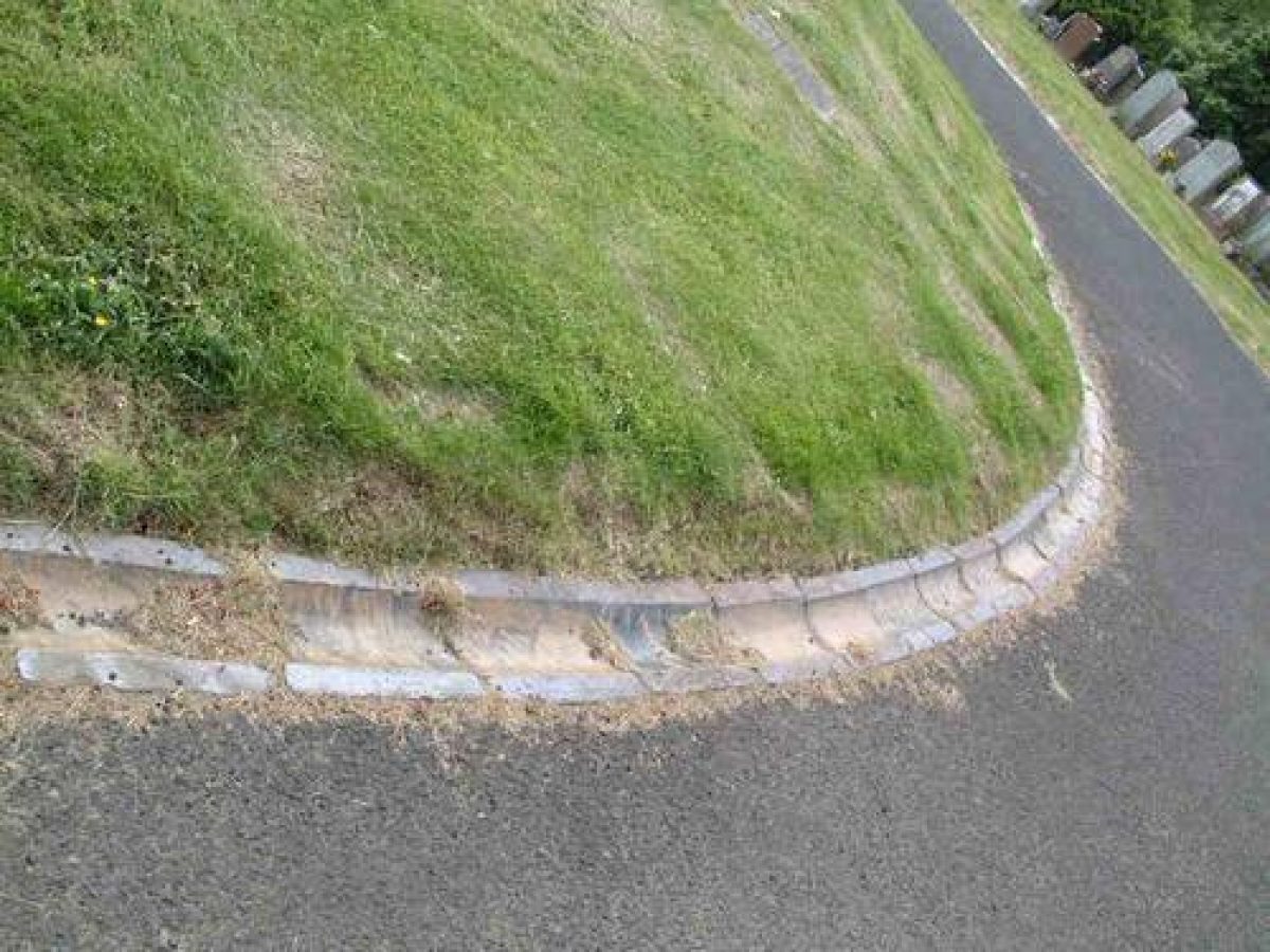
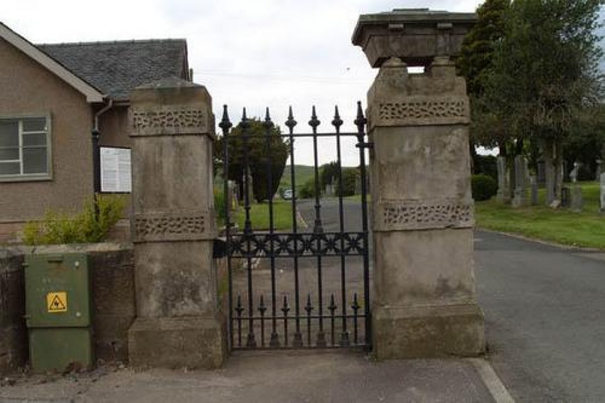
Much of the earlier cemetery is bounded by a substantial sandstone wall with coping stone, in places reaching 2 metres in height. This has been breached along the south-west boundary to allow access to the 21st century extension. The sandstone gate piers from the original cemetery on Neilston Road, and the first early-20th-century extension off Lochlibo Road have survived along with what appear to be the original gates. The caps on the impressive 1875 gates are coffin shaped. The carriage drives are lined with distinctive ceramic guttering which may have a connection with the Shanks ceramic works which was located nearby.
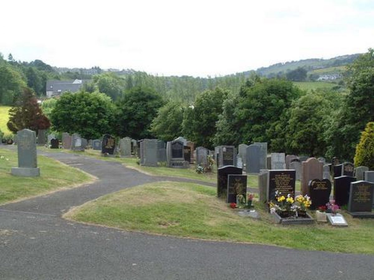
Most of the tree planting in the cemetery is confined to the earlier phases, with planting in the mid-20th century onwards confined to the perimeter. The most heavily planted area is the slope down to the Lochlibo Road entrance, probably planted in the early-20th century. The Horse Chestnuts are now severely pollarded and the Yews trimmed to frame the headstones. The grassed areas are mown regularly to allow easy access to the graves.
- Visitor Access, Directions & Contacts
Access contact details
The site is open daily throughout the year. Please telephone 0141 577 3001.
Directions
Located on the A736, approximately one mile south-west of Barrhead.
Owners
East Renfrewshire Council
Council Headquarters, Eastwood Park, Rouken Glen Road, Giffnock, G46 6UG
- History
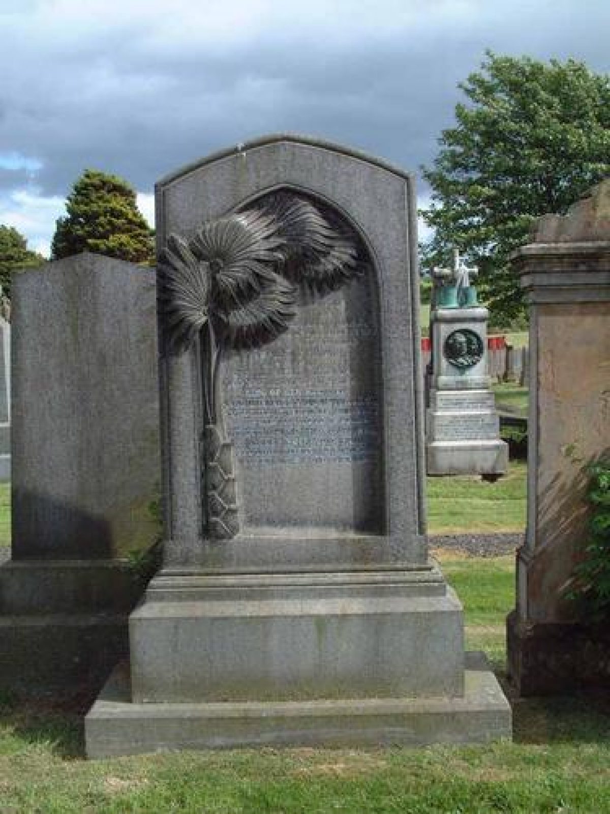
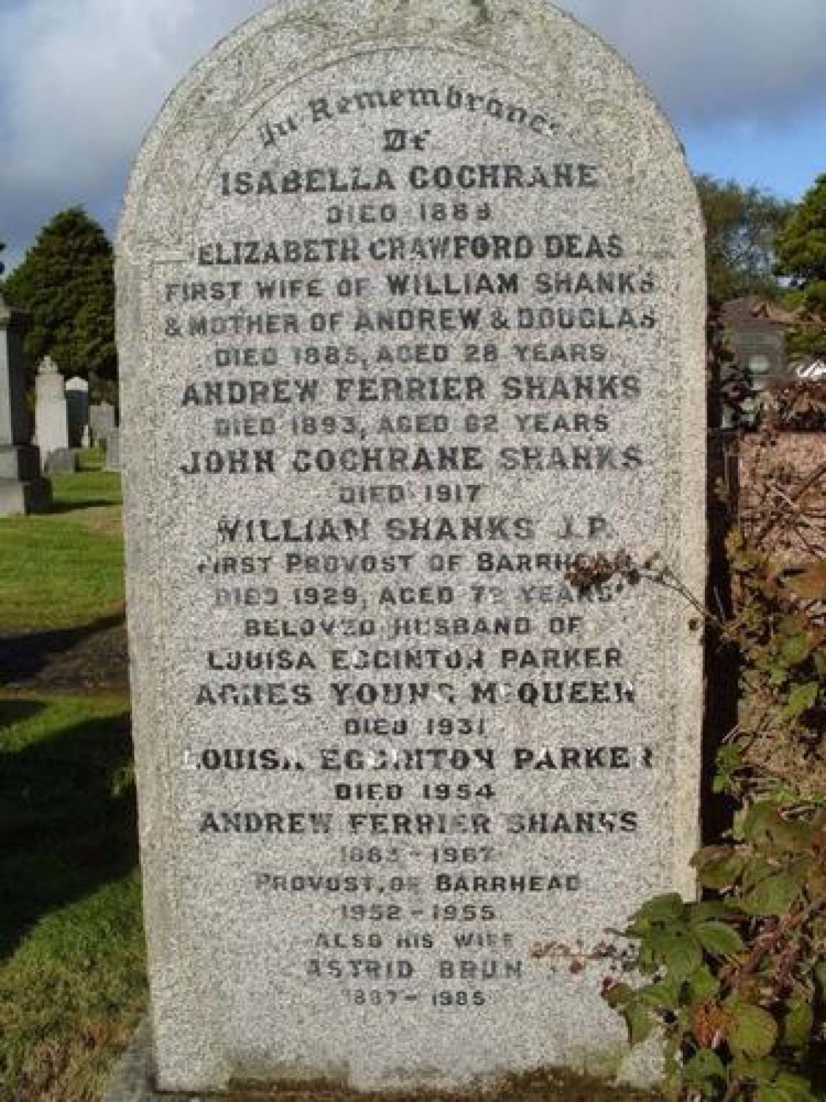
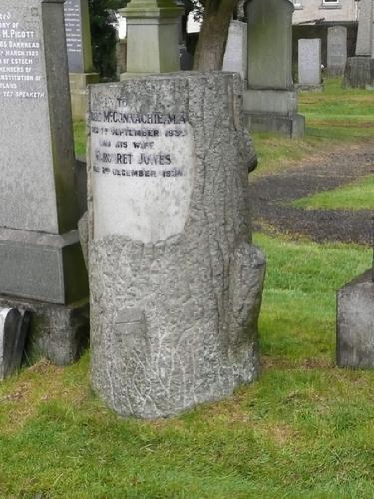
The 0.76 hectare Neilston Cemetery opened in 1875 to replace the churchyard surrounding Neilston Parish Church, with an official opening ceremony in 1878. The land used was probably formerly farmland. Many of the fine headstones in the 'new' cemetery were by monumental sculptors, William Robin of Paisley and Martin Scott & Co, Glasgow. The 1897 Second Edition Ordnance Survey map records the cemetery opening off Neilston Road through a carriage gate with side gates, and a gate lodge to the left hand side. Early planting probably included Holly and Yew. The central carriage drive continues north-west up the hill to a central turning circle and footpaths follow the walled perimeter of the grounds. Early family lairs (tombs) included Cleland, Wilson and Shanks.
The 1913 Ordnance Survey map shows the cemetery more than doubled in size to 1.8 hectares and extending to Lochlibo Road in the north-west, with addition of another carriage entrance with side gates, and the carriage turning circle relocated centrally between the two entrances. A drinking fountain was installed adjacent to the turning circle and a glasshouse and cold frames built alongside the gate lodge. Tree planting in this phase included Yew, Cedar, Sycamore and Turkey Oak. Turner of Parkhouse and a further branch of the Shanks family were amongst the first interments in the extended cemetery.
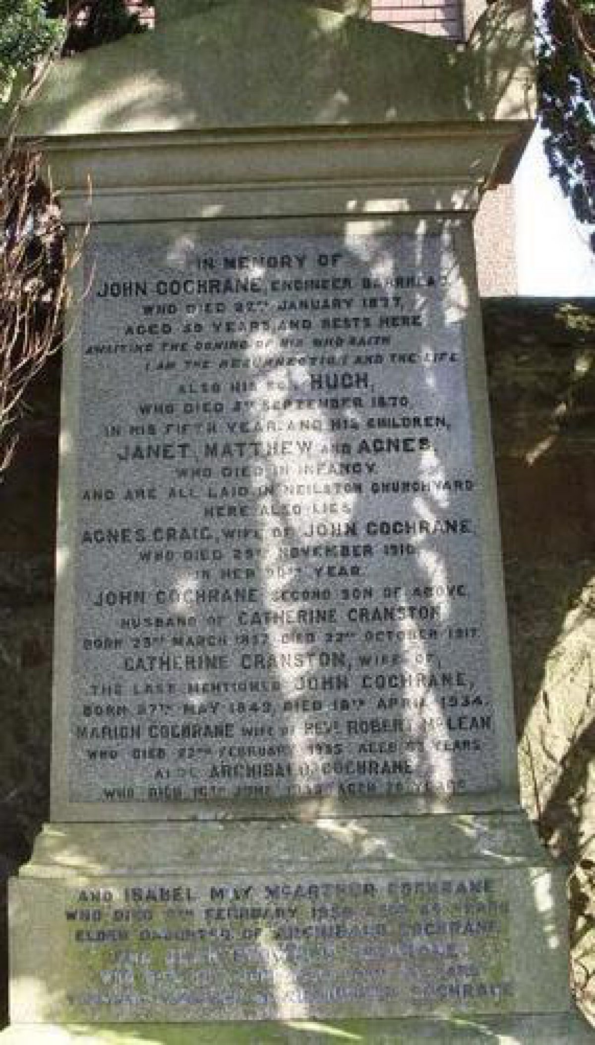
William Shanks JP, the first Provost of Barrhead, was buried in the family plot in 1929 and in 1934 Kate Cranston, of the Glasgow Willow Tearooms fame, was interred in the Cochrane family lair. By 1939 the cemetery has been extended to the south-west increasing the area to 3.5 hectares. Later in the 20th century a shelter and toilets were constructed adjacent to the gate lodge.
In 2000 the area of the cemetery was again doubled to around 7 hectares and is now bounded by Neilston Road, Lochlibo Road and Donnies Brae. The first burial in the new extension took place in February 2001.
- Features & Designations
Features
- Gate Piers
- Description: Sandstone with coffin-shaped caps.
- Earliest Date:
- Latest Date:
- Tomb
- Description: Notable family lairs include Cleland, Wilson, Shanks and Cochrane.
- Earliest Date:
- Latest Date:
- Gate Lodge
- Description: Single storey, roughcast brick construction with slate roof; now disused.
- Earliest Date:
- Latest Date:
- Key Information
Type
Funerary Site
Purpose
Sacred / Ritual / Funerary
Principal Building
Religious Ritual And Funerary
Survival
Extant
Hectares
7
Open to the public
Yes
- References
References
- {Neilston Parish Heritors: Index to Lairs} (1905) Neilston Parish Heritors: Index to Lairs
- William M Metcalfe {A History of the County of Renfrew From the Earliest Times} A History of the County of Renfrew From the Earliest Times
- J J Laws {The Neilston Story} (Neilston Community Council, 1988) The Neilston Story
- {Ordnance Survey Maps Renfrewshire: 1897} (Ordnance Survey, 1897) Ordnance Survey Maps Renfrewshire: 1897
- {Ordnance Survey Maps Renfrewshire: 1913} (Ordnance Survey, 1913) Ordnance Survey Maps Renfrewshire: 1913
- {Ordnance Survey Maps Renfrewshire: 1947} (Ordnance Survey, 1947) Ordnance Survey Maps Renfrewshire: 1947
- Pride, D {A History of the Parish of Neilston} (Paisley: Alexander Gardner, 1910) A History of the Parish of Neilston
Contributors
East Renfrewshire Historical Designed Landscapes and Gardens Group