

Introduction
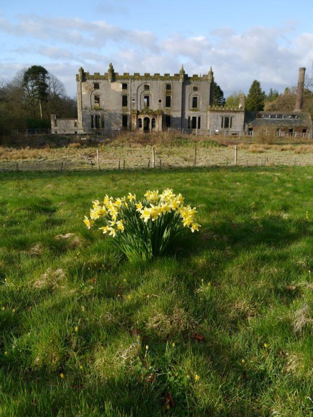
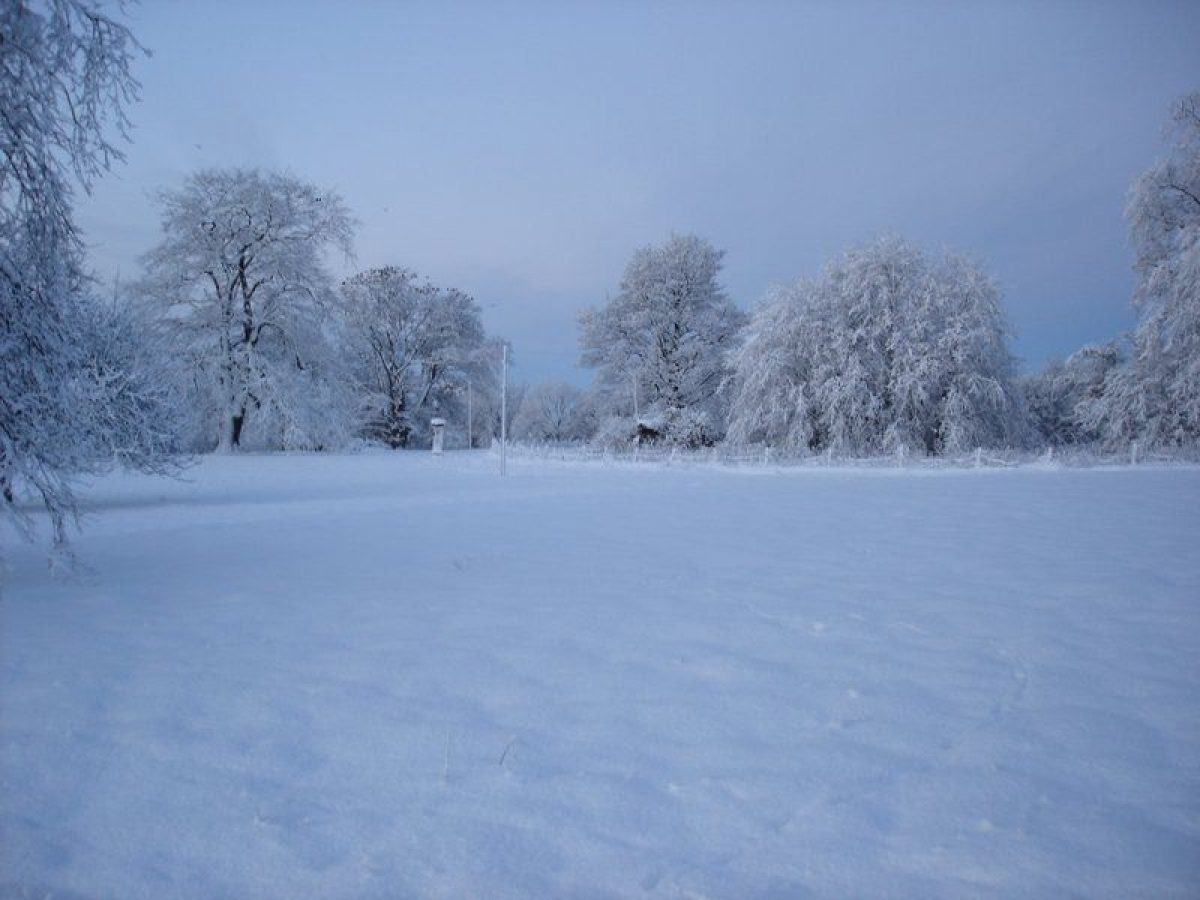
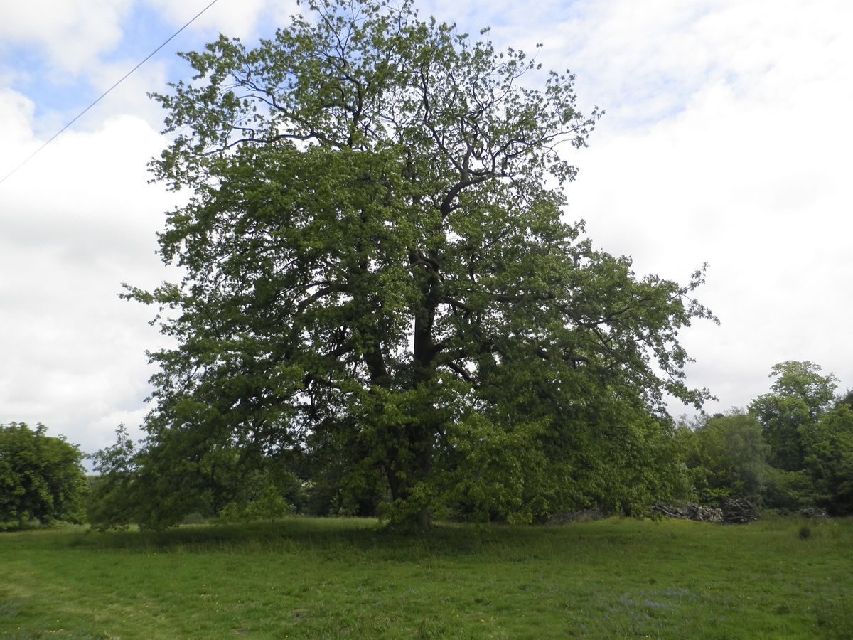
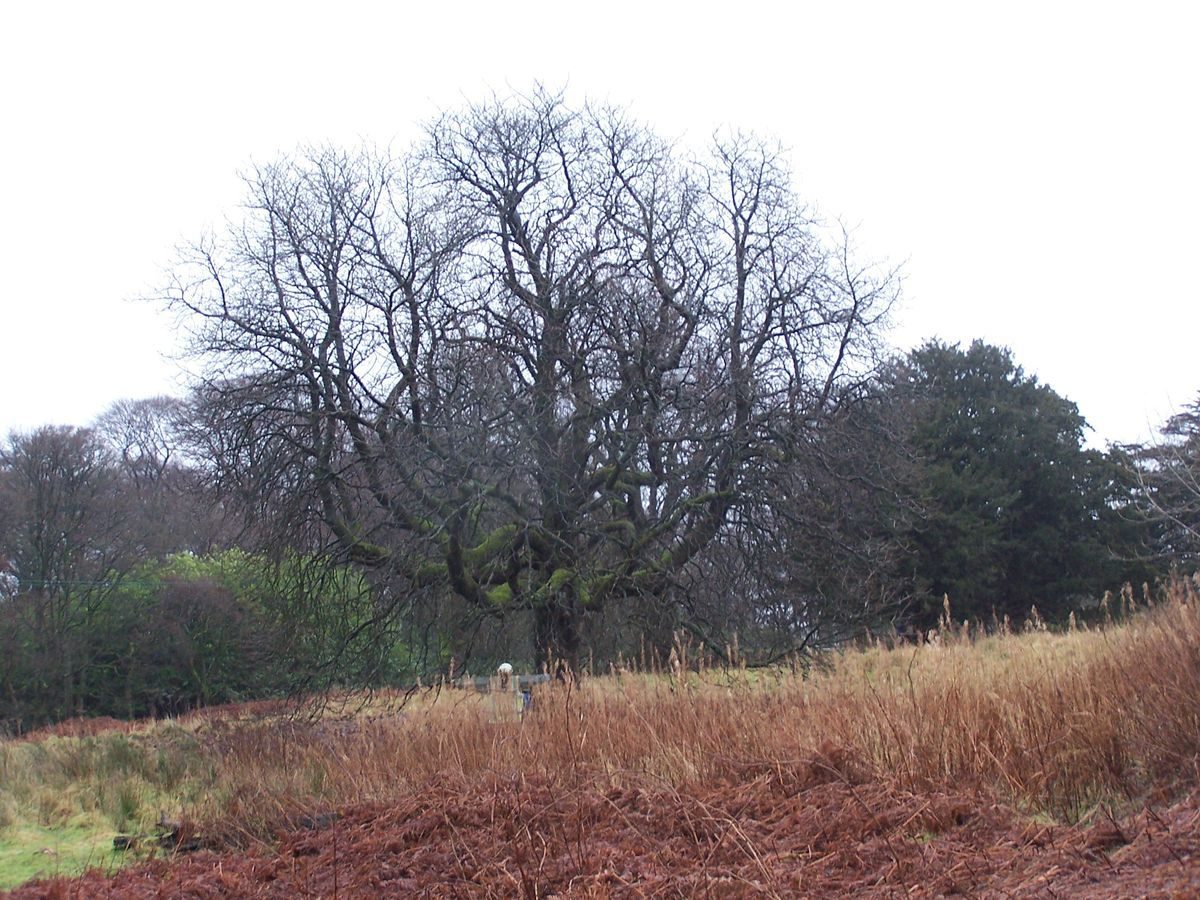
Caldwell Estate in East Renfrewshire is the location of what remains of Caldwell House, a mansion constructed in 1773 to a design by Robert Adam.
Further details about Caldwell Estate are available on the Royal Commission on the Ancient and Historic Monuments of Scotland website http://canmore.rcahms.gov.uk/en/site/334095/details/caldwell+house+estate/
REFERENCES
1. MAPPED SOURCES
Unless otherwise stated all maps referenced are from the online National Library of Scotland Map Collection http://maps.nls.uk
Timothy Pont; Manuscript Maps of Scotland; Pont 33: Renfrewshire (circa 1590)
Stops at border of Renfrewshire and Ayrshire but lands around Caldwell Tower (Coldwel) indicated with Ramsy in area of Ramshead.
Joan Bleau Renfroana Renfrew (Atlas of Scotland) 1654
As Pont but with clear indication of local water course.
1752-55 Roy Military Survey of Scotland (Lowlands)
Map showing gardens that pre-date existing Caldwell House with topographic indications of probable location. Location of water course to immediate west of gardens obliterated (i.e. explained) by later topographic changes associated with introduction of road to south of later Adam Caldwell House. Location of escarpments/slopes to north east of gardens place location in area in front of (to north of) existing Caldwell House. The enclosed area shown on the map is consistent with the site of the now defunct walled garden to the west of Ram's Head. Evidence of a wall base and associated building remain. Main avenue of trees on east edge of Roy garden shown on later Ordnance Survey maps and some trees (Lime) remain. Line extends from area to immediate east of Caldwell House to quarry in field south of Ram's Head. The Roy map does not show the principal house of the estate.
Charles Ross - A Map of the County of Renfrew, 1754 (East Renfrewshire Council Archives)
Contains a rare showing of the mansion that preceded the Adam mansion and the major routes through the county at the time.
John Ainslie - Map of the County of Renfrew, 1796
Ainslie's map shows original road through estate along with possible detail of lake adjacent to location for existing ice house. Also original water course shown prior to later road alterations, thus supporting location of gardens shown in Roy's map. Although no clear physical evidence has been found, cartographic comparison studies indicate the formal garden of the Roy map extended to the area to the south-west of the Adam mansion - as indicated by the remains of the avenues shown on Ainslie's map. The map also gives the first indication of ‘Fort William' in fields behind the road through nearby Uplawmoor, possibly associated with William Mure's position of Colonel of the Renfrewshire Militia. Early census records for Neilston Parish include reference to a Fort William Inn.
Ordnance Survey Maps
The site suffers from being at the junction of four maps of the First Edition Surveys, partly caused by the boundary between Renfrewshire and Ayrshire passing through the middle of the estate. As both the 25 inch and 6 inch First Edition Surveys were undertaken in 1856, a single set of notes summarise the collective findings. Within the walled garden areas of Ramshead it is the 6 inch map that provides more detail including planting arrangements, which differ from the detail of the 25 inch maps.
Ordnance Survey First Edition Six inch to One mile Ayrshire Sheets VIII & IX Surveyed 1856 Published 1858
Ordnance Survey First Edition Six Inch to One Mile Renfrewshire Sheet XV Surveyed 1857 Published 1863
Ordnance Survey First Edition 25 inch to One mile Ayrshire Sheet IX.5 with inset IX.1 (Beith) Surveyed 1856 Published 1858
Ordnance Survey First Edition 25 inch to One mile Ayrshire Sheet VIII.8 (Beith) Surveyed 1856 Published 1858
Ordnance Survey First Edition 25 inch to One mile Renfrewshire Sheet XV.11 (Neilston) Surveyed 1857 Published 1863
Ordnance Survey First Edition 25 inch to One mile Renfrewshire Sheet XV.12 with extension XV.16 (Neilston) Surveyed 1857 Published 1863
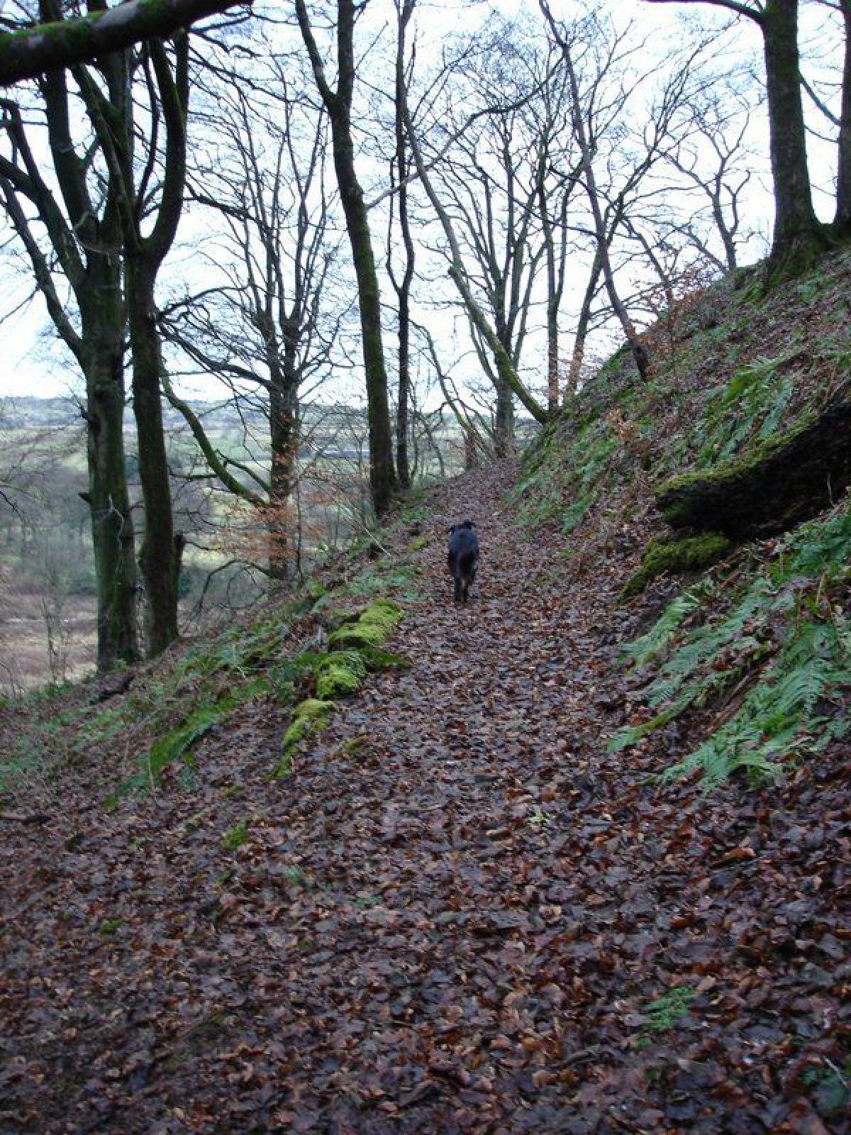
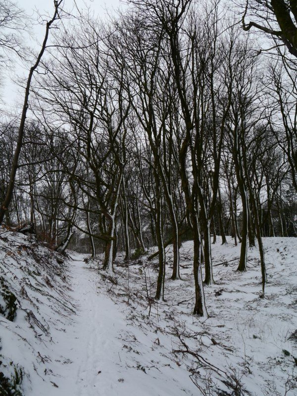
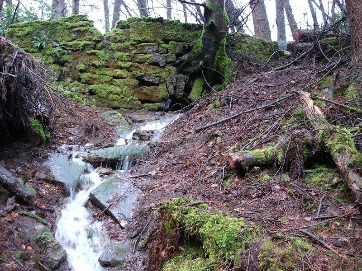
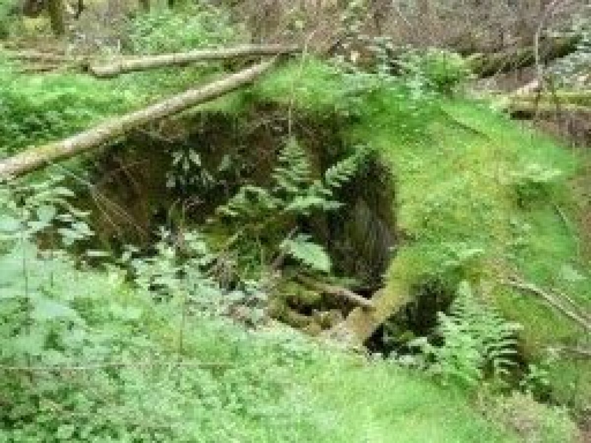
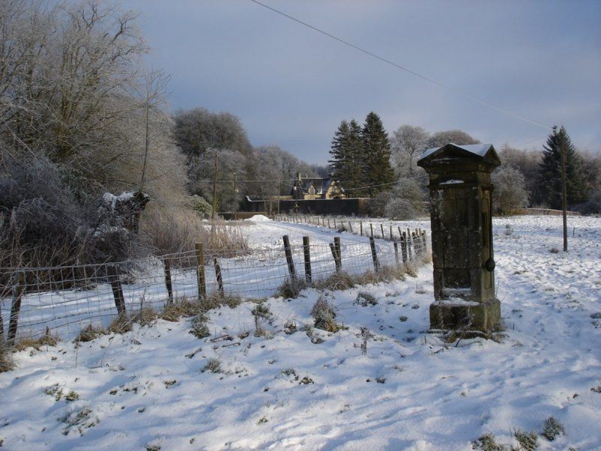
The now defunct walled garden to the west of Ram's Head is clearly shown with a layout of an approximate square divided into four equal sections (25 inch). There is a building or other structure shown on the north wall and some remains are still evident. It is this garden that is consistent with the walled area shown on Roy's map. Other features that relate to Roy's map include the avenue of trees shown running from the quarry to the area to the east of the existing Caldwell House. There are other tree alignments shown that could also be the remains of the gardens shown on the Roy map. Initial ground survey work indicates that the avenue was of Lime trees.The First Edition Ordnance Survey maps provide the earliest indication of the various paths, fencing and features that are associated with a typical 19th-century estate development. They also show the estate before changes to the approach to Caldwell House from the east and before the construction of the tennis court to the north of the house. Various evidence remains. Most of the paths are still traceable as is a significant amount of iron railing fencing. There are the remains of an ice house alongside the site of the former lake. On one of the paths there is an ornamental bridge. The walled garden at Ram's Head remains although significant changes to the area around the north wall and house have taken place. The pump shown to the south of Ramshead also remains. This is thought to be the site of the Brandy Well referred to by Pride. The supporting evidence includes the reference to the Brandy Hill in the Clementina Hunter Blair letter and the reference to the Brandyhill walks by Semple (1782). Of the original eastern approach to the estate, the line of Saugh Avenue is still clear although no trees remain. The foundations of the current bridge over the Lugton Water appear original and an iron gatepost marks where the original track entered the wooded policies to the east of Caldwell House.
Ordnance Survey Second Edition & Later Editions Six inch to One mile RenfrewshireSheet XV.SE Revised 1895, Published 1898
Ordnance Survey Second & Later Editions 25 inch to One mile Ayrshire Sheet 008.08 Surveyed 1895 Published 1897
Ordnance Survey Second & Later Editions 25 inch to One mile Ayrshire Sheet 009.1 Revised circa 1895 Published 1896
Ordnance Survey Second & Later Editions 25 inch to One mile Renfrewshire Sheet 015.11 Revised circa 1895 Published 1897
Ordnance Survey Second & Later Editions 25 inch to One mile Renfrewshire Sheet 015.12 & 16 Revised circa 1895 Published 1897
Ordnance Survey Second & Later Editions Six inch to One mile Renfrewshire Sheet XV.SE Revised 1912, Published 1915
Ordnance Survey Second & Later Editions 25 inch to One mile Ayrshire Sheet 008.08 Revised circa 1908 Published 1910
Ordnance Survey Second & Later Editions 25 inch to One mile Ayrshire Sheet 009.1 Surveyed 1909 Published 1910
Ordnance Survey Second & Later Editions 25 inch to One mile Renfrewshire Sheet 015.11 Levelled 1908 Revised circa 1912 Published 1913
Ordnance Survey Second & Later Editions 25 inch to One mile Renfrewshire Sheet 015.12 & 16 Levelled 1908 Revised circa 1912 Published 1913
The Ordnance Survey Second and Later Editions at both six and 25 inch scales show major changes to Caldwell Estate. These include the creation of the road leading from the east to the south of Caldwell House; the construction of a vista 'funnel' to the south of the house; creation of pheasant shooting coverts to the south west of the house; and the construction of the tennis court area to the north of the house. The funnel vista and the tennis court area are still evident. The various paths around the estate are all clearly marked.
2. PRIMARY & DOCUMENTARY SOURCES
Extract from letter from Clementina Hunter Blair to her brother David, written whilst staying at Caldwell with her sister Anne Hunter Blair (wife of Wm Mure of Caldwell) dated 17 June 1799. Originals at Blairquhan, home of the Hunter Blair family.
"Caldwell June 17th 1799... ...Mr. Mure is at present in the very agony of making a new garden here - it is situated on the top of the Brandy Hill behind the Stables and Offices and is reckoned an uncommon fine foil - he has also converted the old House into Stables and means next year to take away the Offices entirely which will be an immense improvement to the place for at present they are not a beautiful ornament I never saw a man as keen about all the operations on his farm and place as Mr. Mure - oh how often when I see him occupied with all these things do I wish you home and settled in your own house equally active in the concerns of all your Place..."
Deeds Relating to Mures and Their Various Properties, Ch.2635-3799 National Library of Scotland
Mure of Caldwell Family Papers, MS4941-5018 National Library of Scotland
Invoices and Receipts for Work Done on the Caldwell Estate GD1/1314/1 (1861-1890) and GD1/1314/2 (1884-1920). National Records of Scotland (National Archives of Scotland, NAS)
3. HISTORICAL ILLUSTRATIONS & PICTORIAL SOURCES
Front elevation of Caldwell House, 1773-4; Register House Plans series RHP2549 National Records of Scotland (NAS)
Ramsay, Philip A. Views of Renfrewshire: with historical and descriptive notices. William H. Lizars, Edinburgh; 1839.
RCAHMS Aerial Photography Digital Collection 29 May 2008. Oblique Aerial Images DP049020 to DP049024
RCAHMS Threatened Buildings Survey 9 April 2010. Images DP078509 to DP078525
Buildings At Risk Register for Scotland. Images from April 1992 to July 2011
4. BIBLIOGRAPHY OF PUBLISHED SOURCES
The Caldwell Papers (Maitland Club), 1885 Part 11, pp. 178-9
Crawfurd, George 1710. The History of the Shire of Renfrew
Pride, David 1910 A History of the Parish of Neilston. Paisley Alexander Gardner
Robertson, George 1818 The History of the Shire of Renfrew
Semple, William 1782 The History of the Shire of Renfrew
Sinclair, Sir John 1791 Statistical Account of Scotland. Vol. 2 Edinburgh: William Creech.
- Visitor Access, Directions & Contacts
Directions
Enter estate via Gleniffer Road (B775) approximately 400m south of Caldwell crossroads.
Other Websites
- History
1400 - 1700 John Mure was designated 'of Caldwell' in 1409. Some time around 1450 Ramshead, Biggart, and Little Highgate lands were granted to the family. The estate of Little Caldwell remained with the Caldwells and was subsequently extended.
1700 - 1770
A new mansion house was built around 1715 by William Mure on the lands of Ramshead. Semple (1782) p180 states of William Mure, that he:
"..built a house in the estate of Caldwell, upon an eminence, about a mile southwest of the old castle of Caldwell.."
This area is the highest part of the estate. Indications from early maps and on the ground suggest that access to this area and earlier dwellings may have originally been from the north along the straight line of the ‘East Lodge' track and approaching Ramshead from the east. Ainslie's map of 1796 provides some indication to complement the evidence on the ground, that there was also a track approaching this area from the south.
In William Roy's Military Survey of Scotland, 1747-55, access to the area of the 1715 mansion is associated with the installation of a formal garden in the early-18th century, the layout of which is shown on Roy's map. Evidence of this garden remains including some of the tree lined approach from the south and a series of regularly spaced root hollows consistent with the central avenue shown on Roy's map. Subsequent Ordnance Survey maps also show some of the remains of the formal garden.
Major agricultural improvement was being undertaken on various parts of the estate. From the family papers we have, 1766-67, an account for trees and other plants from Archibald Dickson of Hassendeanburn (Nursery established 1728). The account includes "five hundred spruce firs" and in each year "one thousand two years transp. Firs".
Semple also writes of William Mure:
"In the year 1754, he built a large four square court of officehouses, viz, coachhouses, stables and others, upon the foresaid eminence; the plan being superior, in my opinion, to any I have seen in Scotland."
1770 - around 1850
Construction of the Adam mansion 1771-73 and immediate estate development. This was built by the son of William Mure, William 'Baron Mure' about 200 yards lower down from the 1715 mansion. Semple (1782) p181 provides a description of the building including:
"In the attick story of this superb building are two cisterns, viz one at each end, for conveying the water, by roans, down the inside of this beautiful grand fabric; but there is very little of this elegant large modern house repaired within as yet.".
From the family papers, work such as fitting of the staircase was being carried out around 1790 and indicates that the house may not have been complete until around that time. Writing to her brother in 1799, whilst staying at Caldwell, Clementina Hunter Blair says:
"...Mr. Mure is at present in the very agony of making a new garden here - it is situated on the top of the Brandy Hill behind the Stables and Offices and is reckoned an uncommon fine foil - he has also converted the old House into Stables and means next year to take away the Offices entirely which will be an immense improvement to the place for at present they are not a beautiful ornament I never saw a man as keen about all the operations on his farm and place as Mr. Mure - oh how often when I see him occupied with all these things do I wish you home and settled in your own house equally active in the concerns of all your Place..."
around 1850 - around 1890
Secondary estate development including tennis court, bowling green and curling pond.
The tennis court is not on the 1st edition Ordnance Survey (1858) but does appear in later editions of the 1890s. Within an article titled Rejoicings amongst the tenantry, feuars &c. connected with Caldwell Estate The Glasgow Herald of 1868 (issue 8942) reports on the celebrations of the birth of a daughter to the Mures. In a speech by the chairman of the occasion, Colonel Mure is described as:
"...meeting them as one of themselves on the bowling green in summer and on the curling pond in winter..."
around 1865 - 1909
Major improvement/investment period. Ramshead Cottage refurbishment; new gardens and Roudans cottage constructed (Ramshead referred to as 'Old Gardens' - (from Glasgow Herald obituary, 1893, Issue 35); Keeper's Cottage refurbishment;
From the ‘Invoices and Receipts for Work Done on the Caldwell Estate', there is much evidence of drainage and improvement programmes. Also, early-19th-century raising of pheasants and advice to others on topic. Later estate developments associated with pheasant shooting and associated activity (including sending dogs by rail elsewhere); late-19th century establishment of 'new' gardens with "planting at Melon Field, and new gardens next road from March 1868..." and "repairing staging in greenhouse" (1880).
1909 - 1987
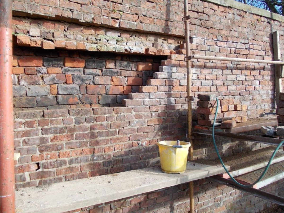
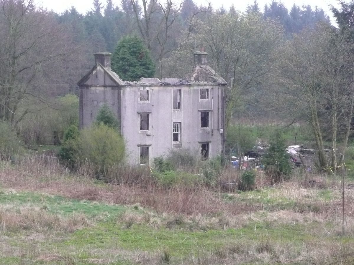
Caldwell House remained the Mure family home until 1909. It was rented out for a period. In 1927 Govan District Health Board converted the building into a hospital for mentally handicapped children which operated until 1985. Alterations, including the removal of the main stair to accommodate a lift shaft, led to a general decline in the state of the interior. External changes also occurred.
1987 - to date
The estate was sold in lots through the Secretary of State for Scotland, moving into private ownership. There was general deterioration of many parts of the estate with serious damage to Caldwell House following a fire in 1995.
- Features & Designations
Style
Picturesque
Features
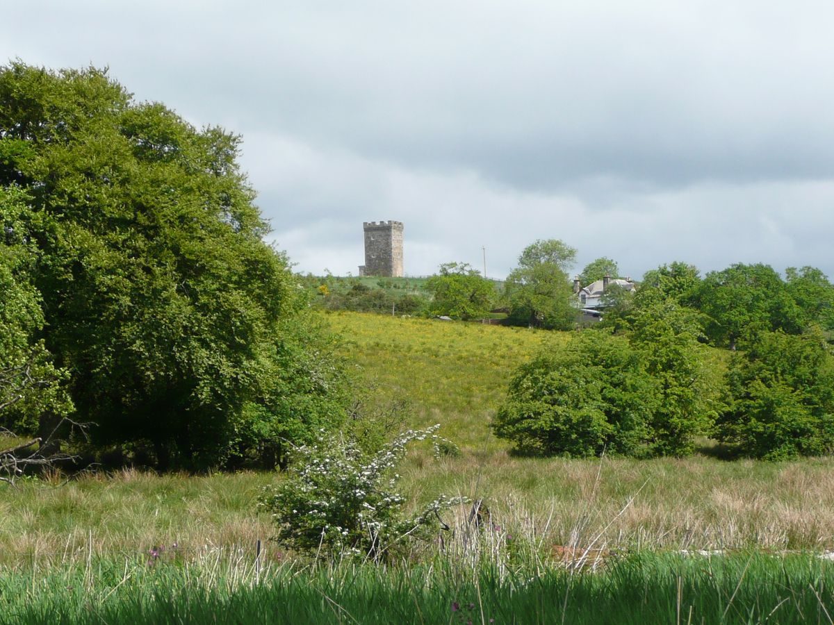
- Belvedere
- Gate Lodge
- Garden House
- Icehouse
- Doocot
- Heated Wall
- Vantage Point
- Cascade
- Key Information
Type
Estate
Principal Building
Domestic / Residential
Survival
Part: standing remains
Hectares
67.4
Open to the public
Yes
Electoral Ward
North Neilston and West Arthurlie
- References
Contributors
The Garden History Society in Scotland, East Renfrewshire Designed Landscapes and Gardens Group