Introduction
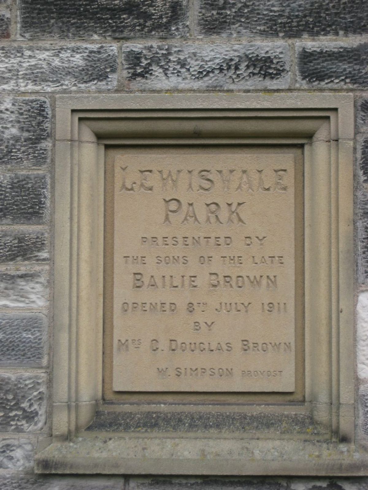
Lewisvale is a seven hectare public park situated in Inveresk, south of the town of Musselburgh. It was laid out in 1910 and presented to the Burgh in 1911.
Terrain
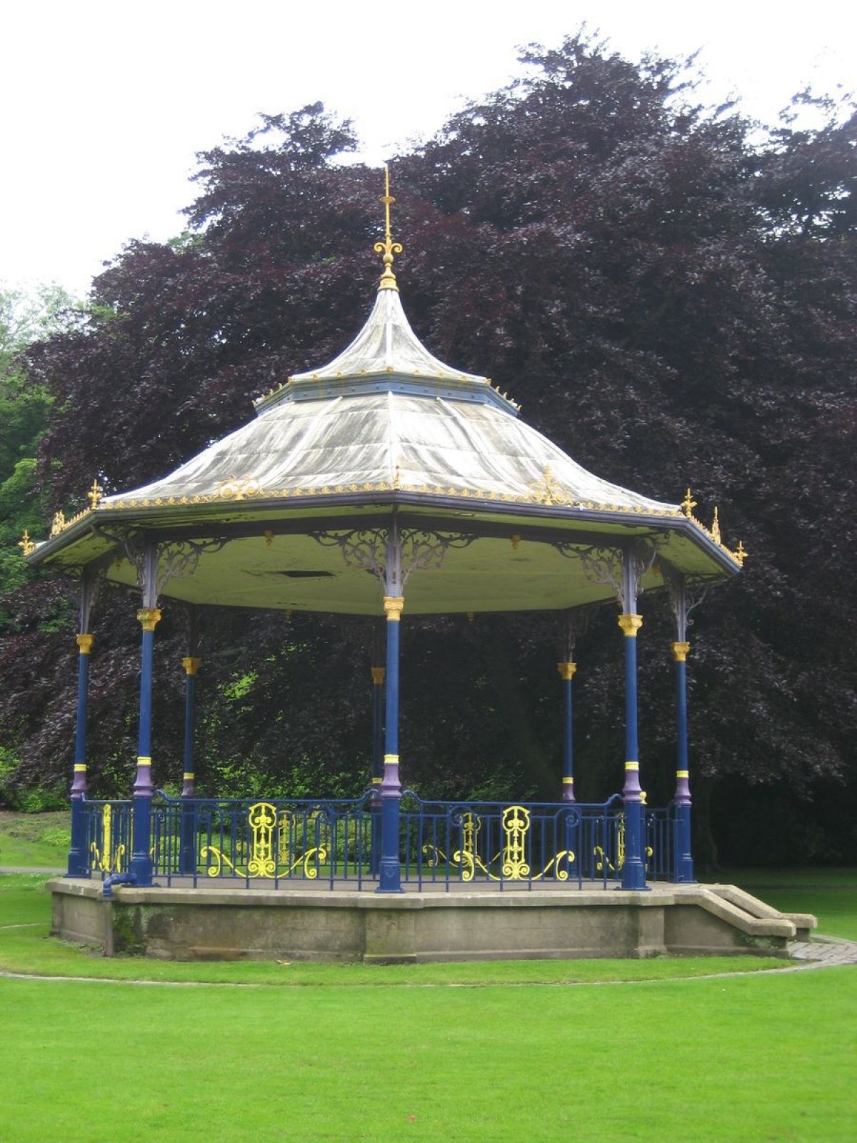
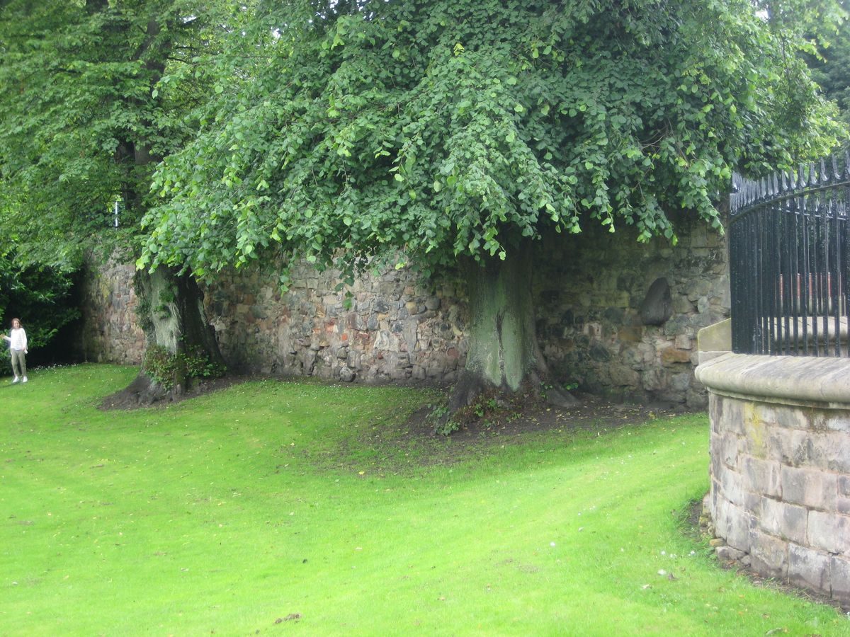
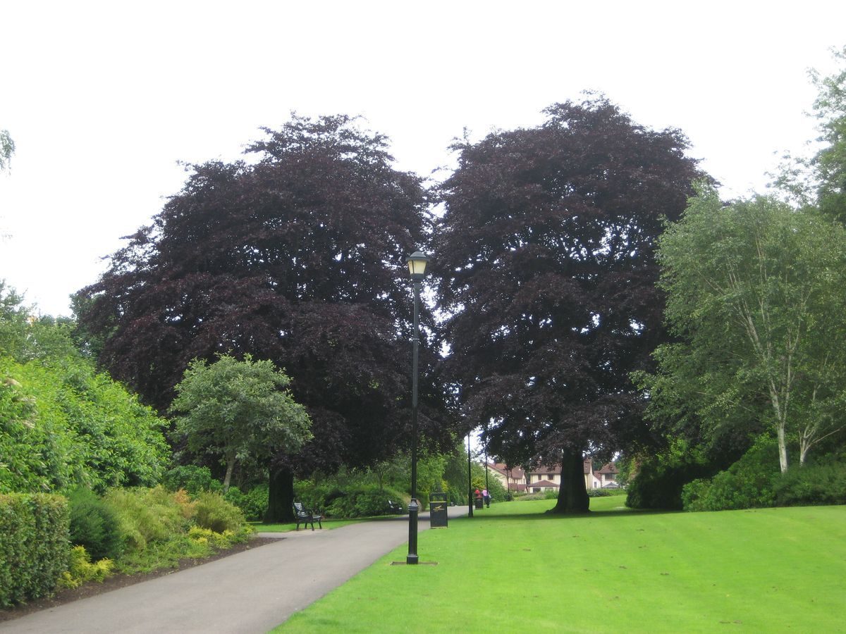
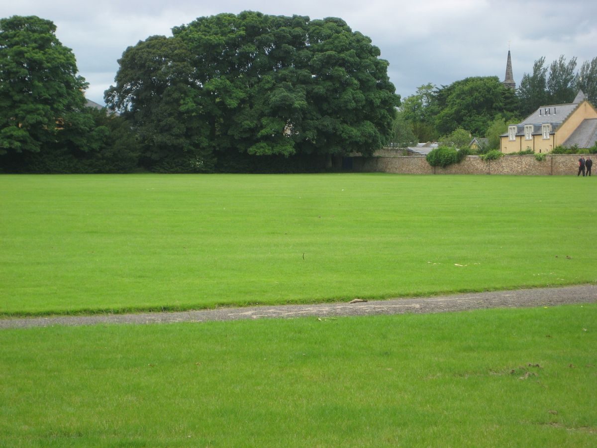
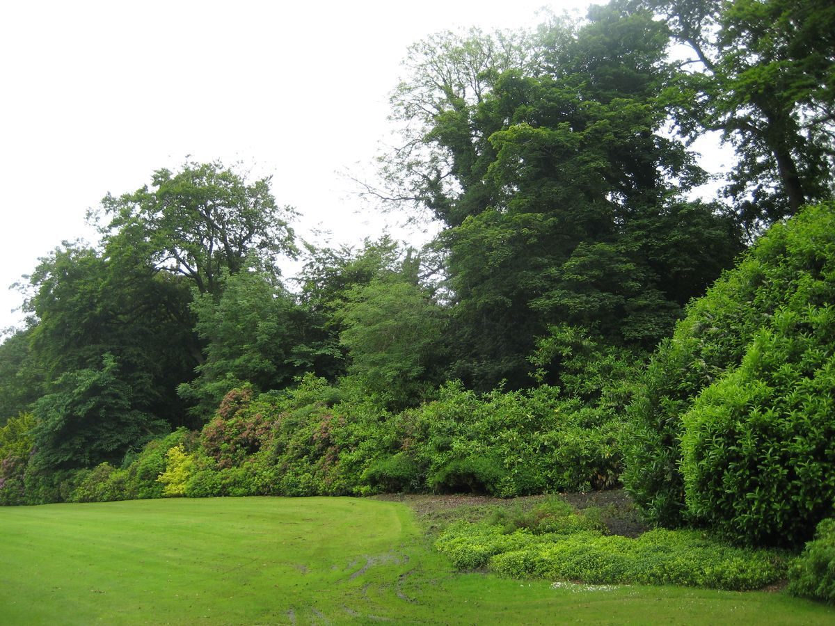
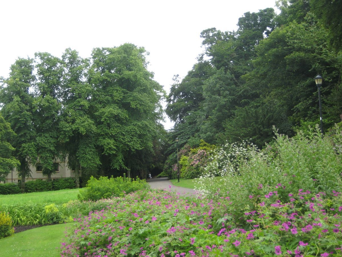
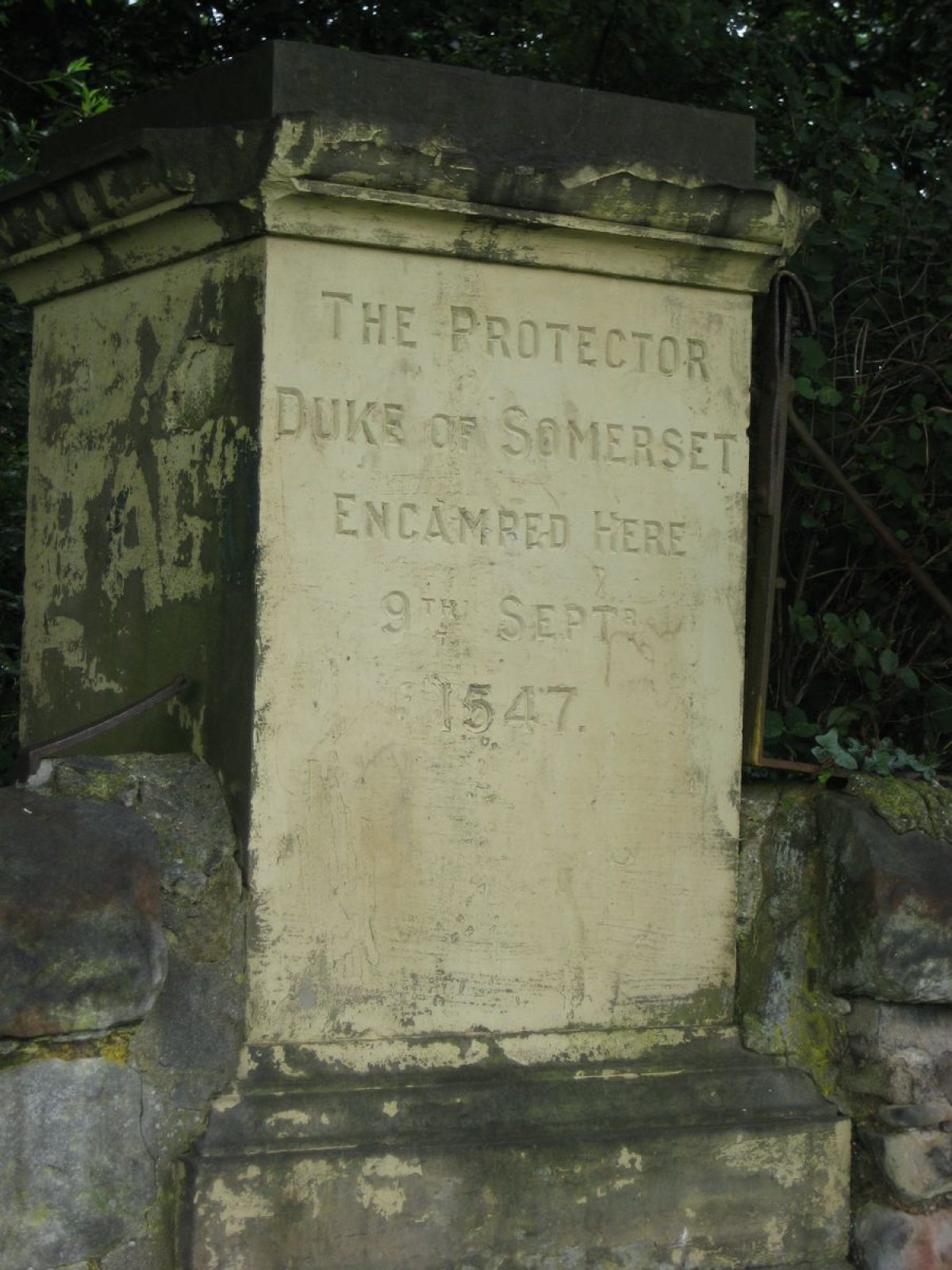
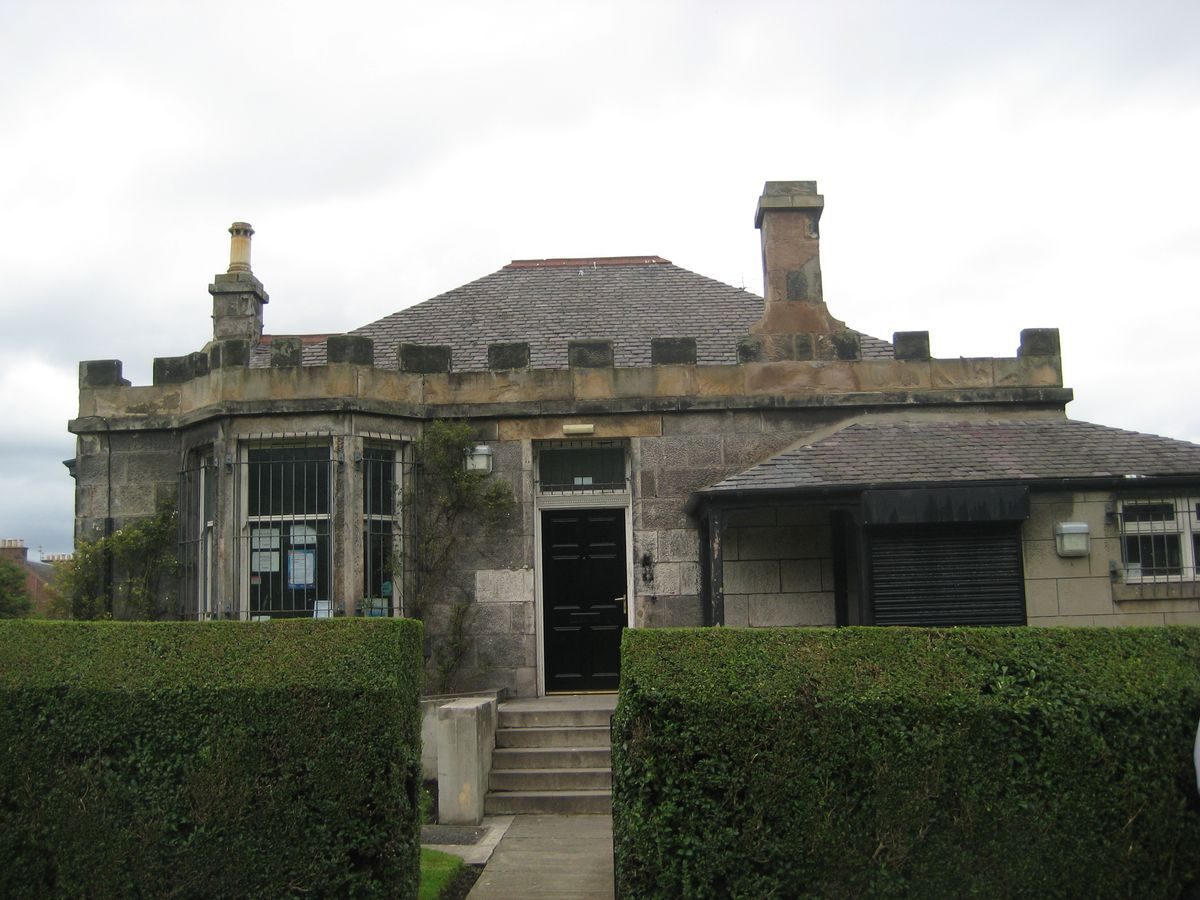
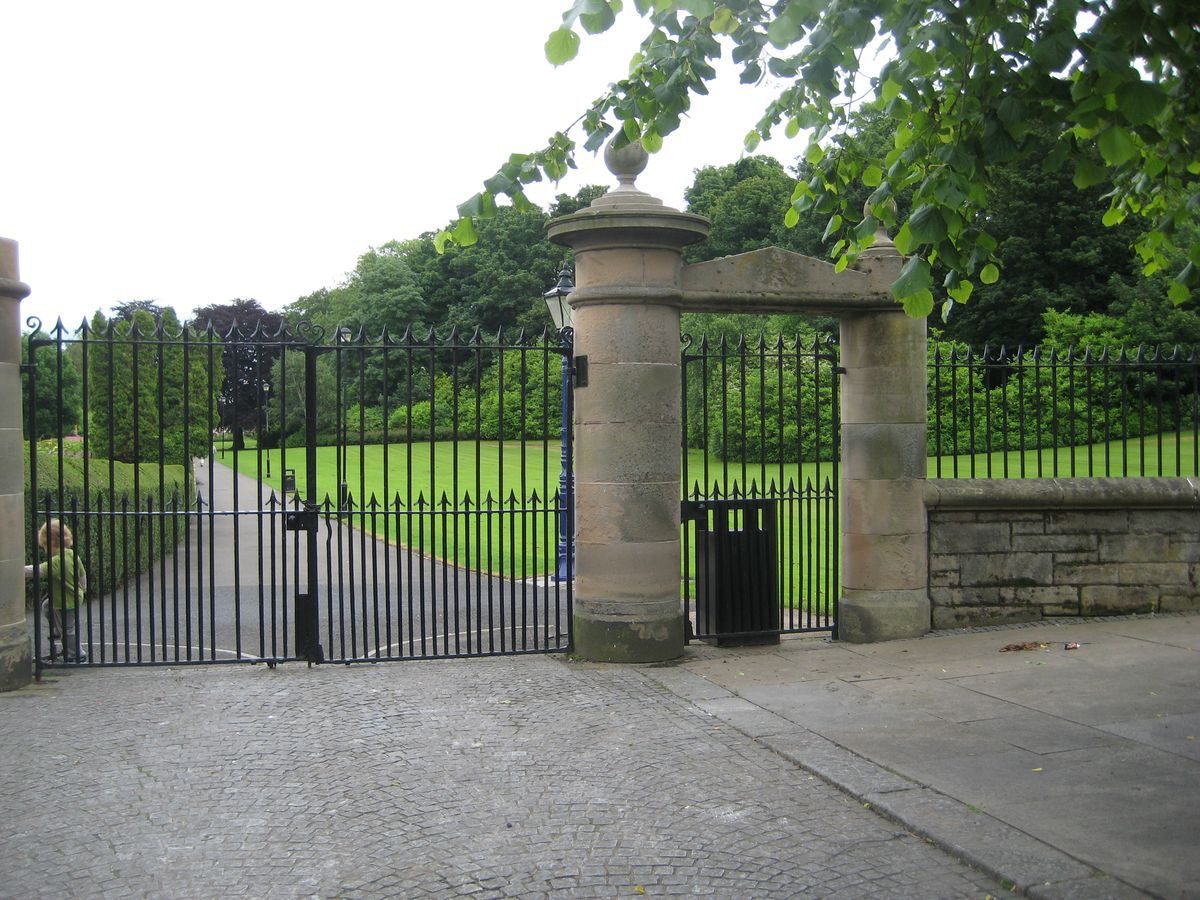
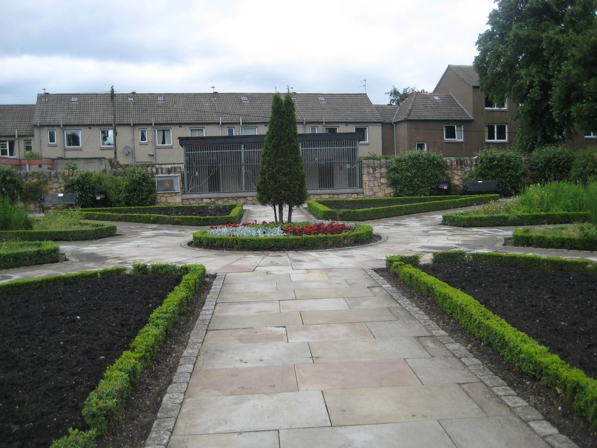
On a hillside above the valley of the River EskLewisvale is a seven hectare public park situated in Inveresk to the south of Musselburgh. It was presented to the Burgh in 1911 by the local Brown family. The park was formerly part of the Esk Grove Estate and named Lewisvale after the Browns' childhood home. The park is accessed from Inveresk Road with adjoining Park Keeper’s Cottage and, lying on the side of the Esk Valley, is split over two levels. It includes a walled garden area with aviary, cricket pitch, tennis courts and pavilion, bandstand dating back to around 1900, mature tree planting and shrubbery, and well maintained herbaceous borders and grassland. The stone boundary on the south and south-east sides is the original wall of the Esk Grove Estate. The site also includes Roman remains, and a stone pillar marking the encampment of the Protector Duke of Somerset 1547 which historically may have been nearer to Prestonpans. The park was extensively restored and improved in 1998/99.
Further details about Lewisvale Park are available on the Royal Commission on the Ancient and Historic Monuments of Scotland website http://canmore.rcahms.gov.uk/en/site/320216/details/lewisvale+park/
REFERENCES
1. MAP SOURCES
Unless otherwise stated all maps referenced are from the online National Library of Scotland Map Collection http://maps.nls.uk
Hay's New Plan of Musselburgh & its Environs, 1824, by James Hay, surveyor, Musselburgh & Charles Thompson, engraver, 19 Shakespeare Square, Edinburgh. NRS ref RHP1855. Also reproduced in facsimile at about one inch to 100 yards by East Lothian District Library, 1993.
1832 Great Reform Act Map of Musselburgh Map 51 House of Commons (Also re-published 1992 Historical Discovery, 9/11 Market Street, Crewe, Cheshire CW1 2EW. ISBN 1 85796 509 4)
1852/53 - 1st Edition Ordnance Survey 6 inches to 1 mile Sheet 3 Surveyed 1852/3 Published 1854
1906 Ordnance Survey 25 inches to 1 mile Sheet IV 11 Revised circa 1906 Published 1908
1913 Ordnance Survey 25 inches to 1 mile Sheet IV 11 Revised/Leveled circa 1912-13 Published 1914
2. PRIMARY & DOCUMENTARY SOURCES
23 May 1910 land bought from Charles Stewart: Ref NRS RS 108/5205 Page 75 Sasine Register
24 November 1910 land bought by Brown brothers: Ref NRS 108/5252 Page 115 Sasine Register
Sasine Register Ref: LIB 5202.75
22 December 1911 money gifted by Brown brothers to build park ranger's cottage: East Lothian Courier and Musselburgh Burgh Council Minutes 12 October 1909 to 9 July 1912: ref B 52/3/17 (National Records of Scotland)
3. HISTORICAL ILLUSTRATIONS & PICTORIAL SOURCES
Vertical Aerial Photograph Collection RCAHMS:
TARA B0017 5300 SB000389 15 April 1946
TARA B0492 0100 F22 SB00291 6 November 1960
TARA C00278 020-022 SB 003173 14 June 1988
1938 Postcard- Lewisvale Park, Musselburgh showing large areas of lawn divided by wide paths, trees and bushes on either side, square paddling pool and bandstand: Record No. JV-A7290 (B) Valentine Collection, University of St Andrews.
Musselburgh in Old Picture Postcards Volume 3 Riding of the Marches edition: ISBN 90 288 6054 1/CIP
Musselburgh in Old Picture Postcards: ISBN 90 288 4595 1/CIP
circa 2012 Google and Bing Maps Satellite Imagery
4. BIBLIOGRAPHY OF PUBLISHED SOURCES
East Lothian Council Prospective Management Plan and Report from Ash Consulting Group: Ref 396027\\REPORT2.MW 1996
Inveresk Conservation Character Appraisal 2011 p31 pub East Lothian Council
The Musselburgh News 28 April 1911, 30 June 1911, 7 July 1911, 14 July 1911 and 22 December 1911.
- Visitor Access, Directions & Contacts
Directions
Lewisvale Park lies approximately 0.5 km due south of the town of Musselburgh and is accessed via the main entrance on Newbigging, Inveresk Road.
Owners
East Lothian Council
John Muir House, Brewery Park, Haddington, EH41 3HA
- History
- The site's early history dates back to the Roman era and excavations in the area have revealed a major fort and vicus (civilian settlement). Lewisvale Park is located immediately to the east of the fort site. The upper section falls within the boundary of the Scheduled Monument as this area is related to the vicus. The 1852 Ordnance Survey marks a ‘subterranean aqueduct or tunnel’ believed to date from Roman times and is roughly in the location of the present day bandstand.The 1824 James Hay map of Musselburgh indicates the site of the park as part of several estates including Eskview House owned by Sir W Rae. Three fields or enclosures, the Esk Grove Estate (including the site of what was to become Lewisvale Park), partly in the Burgh of Musselburgh and partly in the Parish of Inveresk were bought by the Provost, Magistrates and Councilors of Musselburgh from Charles Stewart on 23 May 1910 (East Lothian News and Musselburgh Burgh Coucil Minutes). The estate extended originally to 30 acres and was purchased for the purposes of securing a site for the Infectious Diseases Hospital. Some two and a half acres were devoted to that purpose. The mansion house and ten acres were sold to General Cockburn, leaving seventeen acres in the hands of the Town Council.In 1910 these seventeen acres were purchased by Christopher Douglas Brown, Julius Alfred Brown, William Thomson Brown and the trustees of Marcus John Brown who presented the park to the Burgh of Musselburgh in memory of their late father. It was designed by Mr McHattie, Edinburgh City Gardener and Mr George Landale, the Burgh Surveyor. The park was named Lewisvale after the Brown brothers' childhood home situated on the Town Links. On the 8th July 1911 Lewisvale Park officially opened.In 1912 C Douglas and Julius Brown gifted £364 towards the expenses of erecting a lodge at the park and in 1913 a bandstand was installed, which had been built around 1900 by the Lion Foundry in Kirkintilloch. It is now a Category B listed structure.Between 1998 and 1999 restoration works to Lewisvale Park were completed by Stewart Landscape Ltd. which included the installation of a walled garden on the site of the former glasshouse and nursery area.
Period
- 20th Century (1901 to 2000)
- Early 20th Century (1901 to 1932)
- Features & Designations
Designations
Scheduled Ancient Monument
- Reference: Historic Scotland Ref: 3267
Historic Environment Scotland Inventory of Battlefields
- Reference: Battle of Pinkie
Features
- Bandstand
- Description: Dating from around 1900 the bandstand is an open, octagonal, cast iron structure with eight slender Ionic columns and ornamental iron railings. The structure was installed in the park in 1913 and restored in 2000.
- Earliest Date:
- Latest Date:
- Aviary
- Description: Created in 1999 on the site of the former greenhouse and nursery, as part of the park restoration works.
- Earliest Date:
- Latest Date:
- Planting
- Gate Piers
- Key Information
Type
Park
Purpose
Ornamental
Principal Building
Parks, Gardens And Urban Spaces
Period
20th Century (1901 to 2000)
Survival
Extant
Hectares
7.1
Open to the public
Yes
Electoral Ward
Musselburgh East
- References
Contributors
East Lothian Landscape and Garden Recording Project
The Garden History Society in Scotland
Moyra Hughson