
Introduction
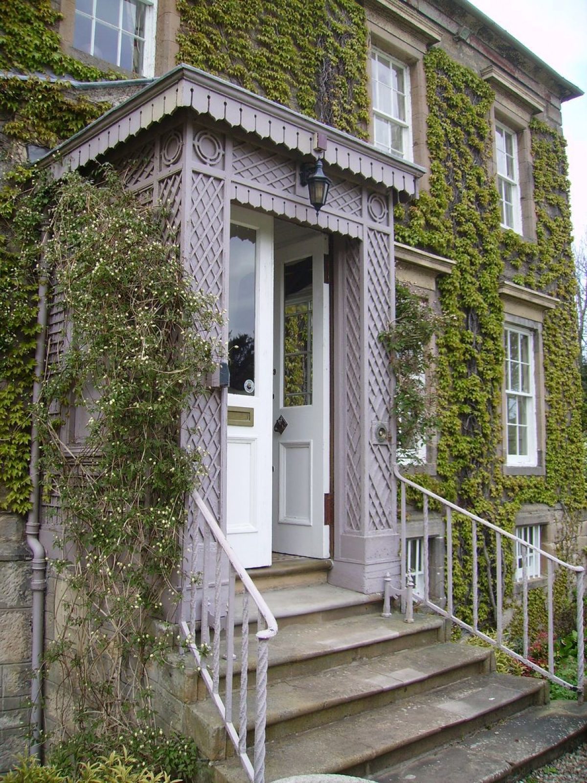
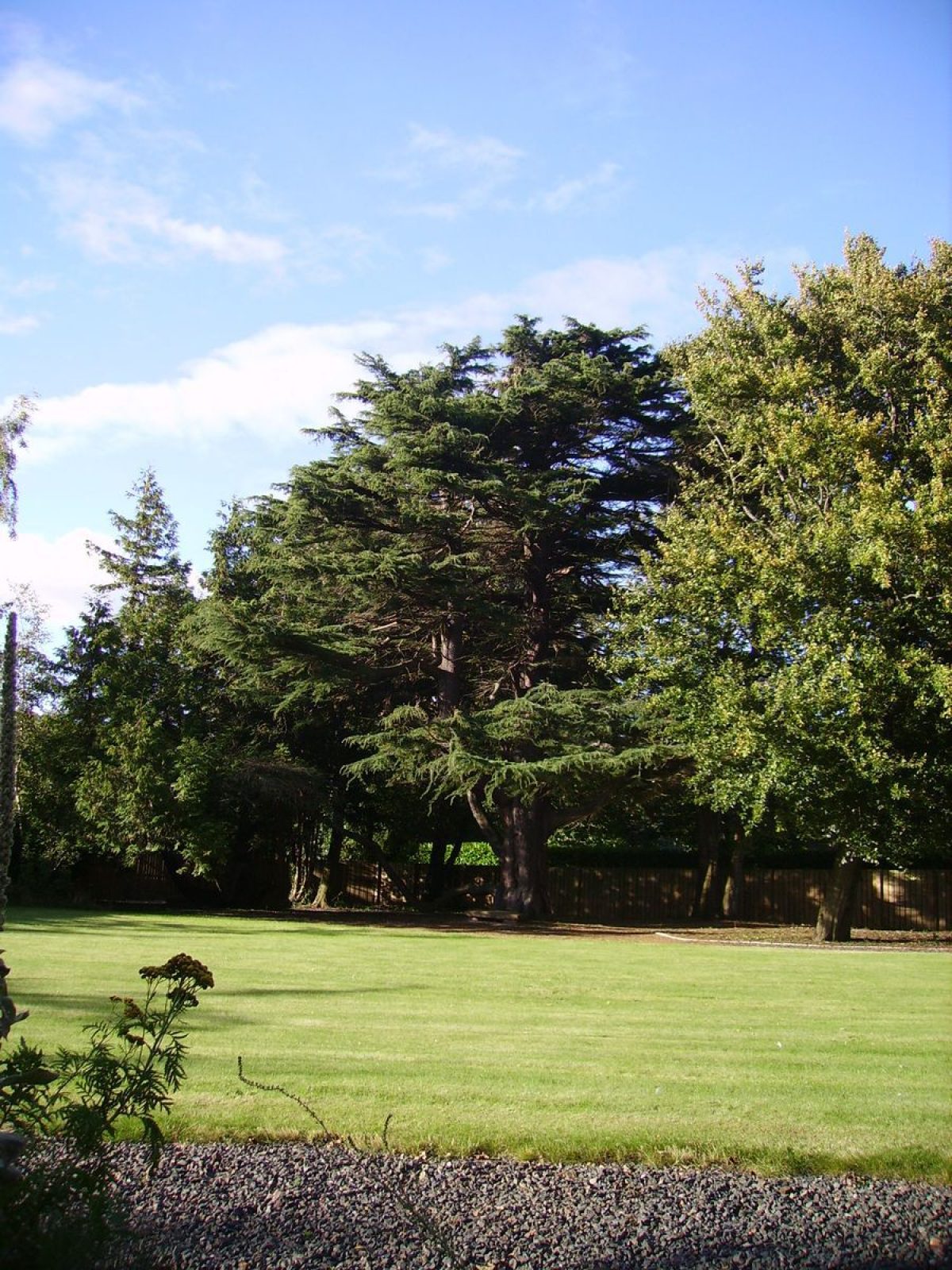
Originally extending to over 12 hectares, but now much divided and in multiple ownership, the remaining core landscape of 1.8 hectares provides the setting for Eskgrove mansion house constructed around 1740.
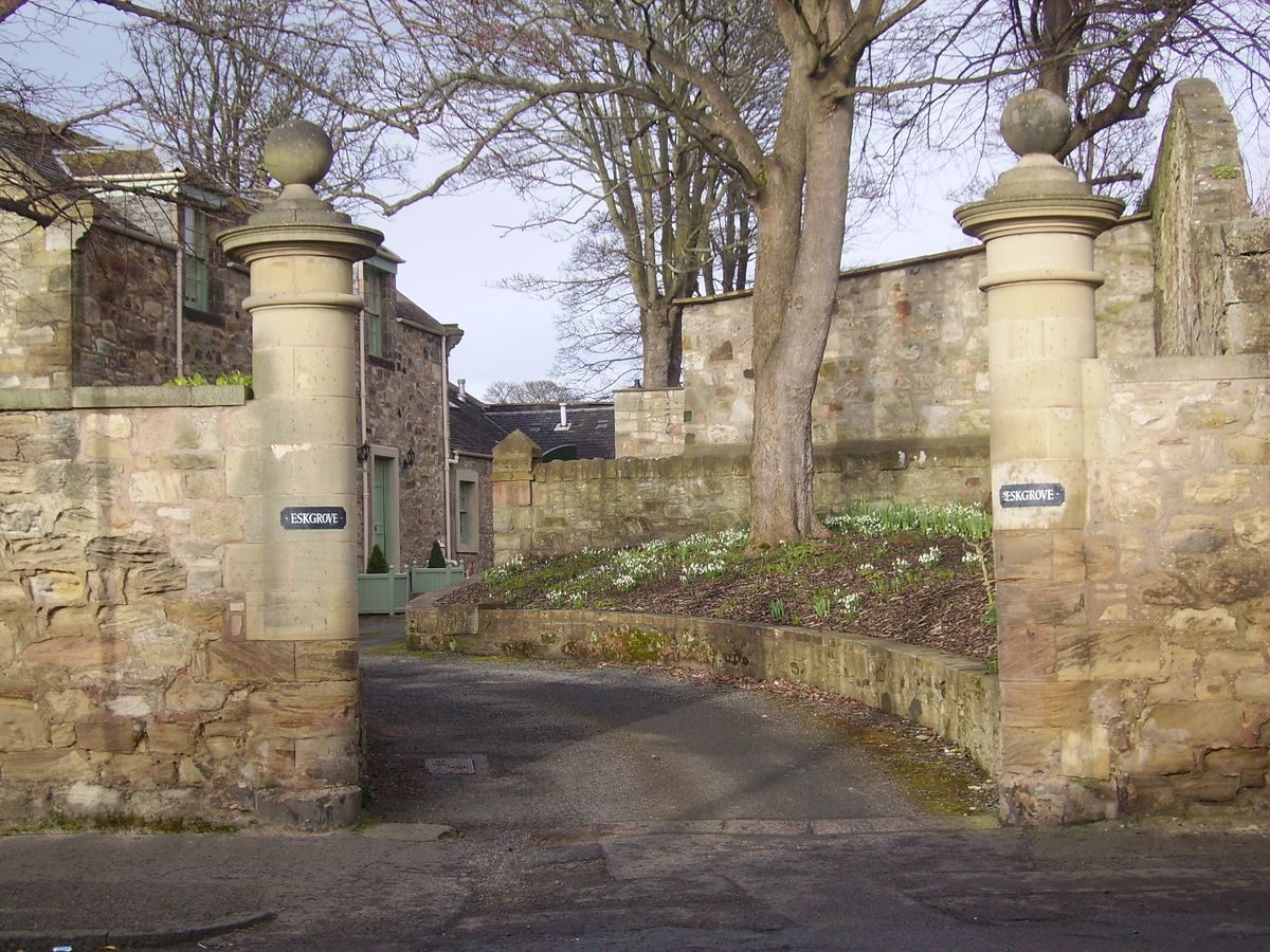
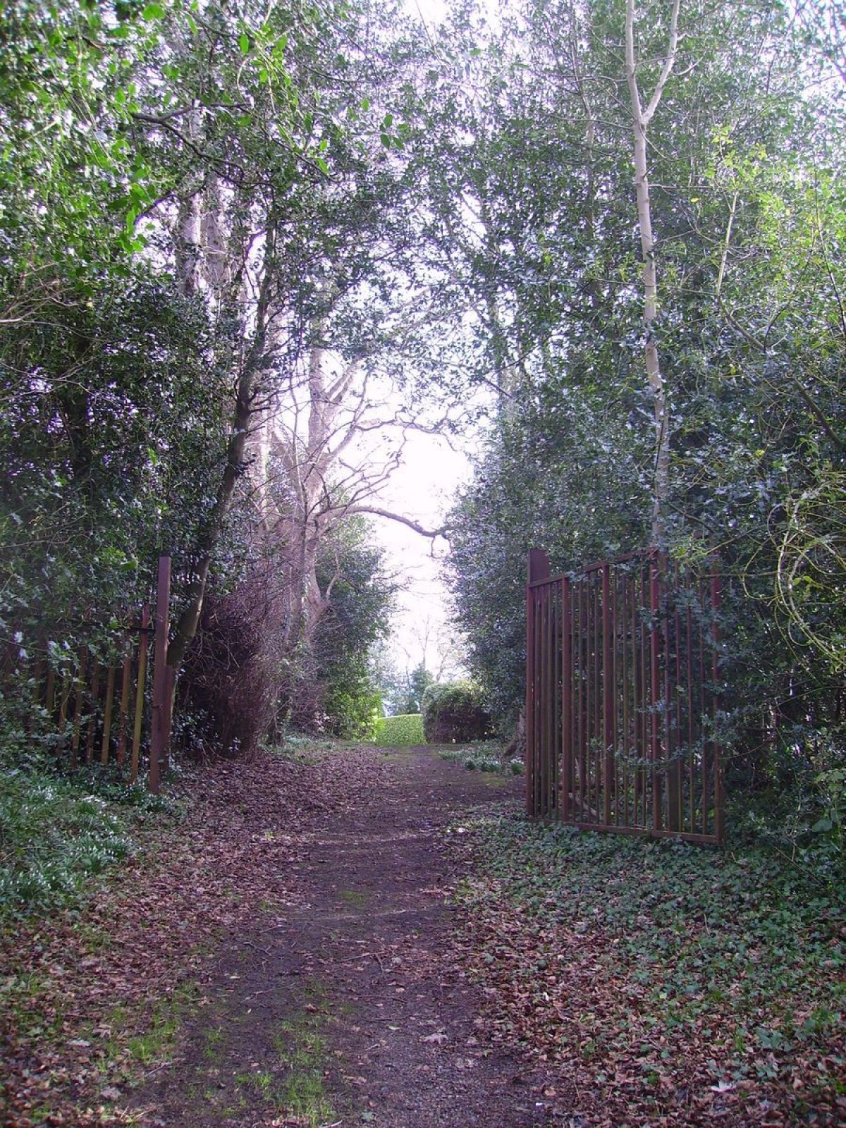
Eskgrove is one of the Inveresk 'miniature' Villas, and was built in the mid-18th century on land belonging to Inveresk House. Originally accessed from the north, off Inveresk Brae/Newbiggin Hill Road, amendments to both house and designed landscape in the 19th century resulted in the adoption of the south driveway as the principal access. The Eskgrove landscape extended to around 12 hectares in 1778 but this has now been reduced to two. 4.25 hectares were transferred to Musselburgh Town Council in 1910 for the creation of Lewisvale Park, and areas of the peripheral landscape were sold for housing in the 1990s. The balance of the core landscape, Stables, Lodge, and House is now in fragmented residential ownership and two new houses have been constructed in the walled garden.
Further details about Eskgrove are available on the Royal Commission on the Ancient and Historic Monuments of Scotland website:
http://canmore.rcahms.gov.uk/en/site/346334/details/inveresk+village+eskgrove+house/
http://orapweb.rcahms.gov.uk/wp/00/WP003808.pdf
REFERENCES
1. MAPPED SOURCES
Unless otherwise stated all maps referenced are from the online National Library of Scotland Map Collection
http://maps.nls.uk
1766 John Laurie A Plan of Edinburgh and Places Adjacent
1821 John Thomson Edinburghshire
1834 J Gellatly, Gellatly's New Map of the Country 12 Miles Round Edinburgh
Ordnance Survey First Edition Six inches to One mile Edinburghshire Sheet 7 Surveyed 1852-53, Published 1854
Ordnance Survey Town Map of Musselburgh Sheets 12 Scale 1:1056 Surveyed 1853
Ordnance Survey Second Edition & Later Editions Six inches to One mile Edinburghshire Sheet IV.SE Revised 1893, Published 1896
Ordnance Survey Musselburgh Town Map Edinburgh Sheet IV.11.14 Scale 1:500 Surveyed 1893
Ordnance Survey Second Edition & Later Editions Six inches to One mile Edinburghshire Sheet IV.SE Revised 1913, Published 1919
2. HISTORICAL ILLUSTRATIONS & PICTORIAL SOURCES
CD of 23 late 19th century photographs taken when John Stewart (WS) was resident. Lodged at John Gray Centre Haddington
1920 image of south front house in private ownership
Vertical Aerial Photograph Collection RCAHMS:
B0017 5297-5300 SB 000389 15 April 1946
B0492 0100 F22 6 November 1960
C0278 14 June 1988/6/88
3. BIBLIOGRAPHY OF PUBLISHED SOURCES
Burnet, Jane E M The Reason for Inveresk 1999 Courtyard Press pages 39-50
McWilliam, Colin Lothian Except Edinburgh: The Buildings of Scotland Series 1978 pages 267-268
East Lothian Fourth Statistical Account 1945-2000 Volume 5 The Parishes of Inveresk (with Musselburgh), Prestonpans, Tranent (with Cockenzie and Port Seton) pages 11 and 33
Inveresk Conservation Area Appraisal East Lothian Council & Inveresk Village Society 2010 East Lothian Council
Robertson, A Niven Old Dovecots in Scotland 1945 Old Edinburgh Club page 79
The East Lothian News 24 March 2004 Design Award
- Visitor Access, Directions & Contacts
Directions
Situated in Inveresk approximately 0.5 kilometres south of Musselburgh.
- History
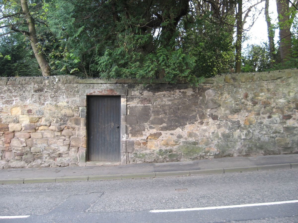
Eskgrove House was built in 1740 on land belonging to Alexander Hay, bought from Inveresk House. In 1742 a canal was cut from the River Esk to the foot of Inveresk Hill to drain the coalworks at Pinkie. The former north entrance to Eskgrove House is recorded on the First Edition Ordnance Survey of 1852-53.
In 1761 the house was sold to Sir David Rae (later Lord Eskgrove) ‘mansion house and garden enclosure or park, pigeon house and office houses'. On his death in 1804 the estate was made over to his eldest son Sir David Rae. Following his death in 1815 the estate was made over to his daughter Elizabeth Colt Rae until her death in 1872. At the beginning of the 19th century the drive was probably changed to the south side of the house and the Regency portico built.
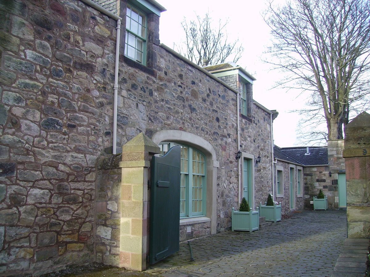
The circular turning area in front of the house is shown on the 1853 Ordnance Survey. A great many formal pathways and flowerbeds are marked, along with many new trees and shrubs. The walled kitchen garden to the east is laid out with small trees in rows - perhaps an orchard- with a pathway round its perimeter and a small summerhouse in the centre. A Sundial is marked due east of the house and a pump to the south (where a well was uncovered in 1968 when a tree blew over). The Steading in the south-west corner of the policies has been removed. The Stable block and Lodge house are shown.
In 1872 John Stewart WS bought Eskgrove including ‘the mansion house, garden inclosure of park, pigeon house and office houses on the East side of Inveresk.' On his death in 1890 his eldest son, Charles Stewart, inherited the estate. Charles Stewart died in Edinburgh in 1927 but is presumed to be in the 1900 photographs of the garden.
The 1893 Ordnance Survey Town Plan shows a conservatory attached to the west side of the house. The turning circle in the drive is no longer visible and the formal paths and flower beds are much reduced. The kitchen garden has a large greenhouse and a different tree configuration. The sundial and the pump are no longer on the Ordnance Survey map indicating that the well is not being used, but there is a new pump in to the south-east of the stables.
In 1905 the Mansion House, Policies, Gardens, Conservatories, Lodge, Stables and Offices extending to 10.5 acres were sold to General Henry Alexander Cockburn for £4500, and the remaining ground bought by the Council for Lewsivale Park. An extension added to the east side of house.
Archibald John Cockburn inherited from his father, Henry Alexander in 1921 until his death in 1950.
From 1950 Dr John Riddell lived at Eskgrove until his death in 1989. In 1951 the stables were sold to Dr Margaret Chapman for £499 18sh 4d. In 1968 a January gale brought down four large trees in front of the house (Sycamore, Beech, Oak). This exposed an old well, twelve feet deep and four feet wide, which is thought to be older than the house, and a stone passageway 32 inches high and 18 inches wide the date and purpose of which is not known.
In 1990 7.79 acres was transferred to Caledonian Property Group with the consent of D'Agostino with the balance being transferred to Gerard and Adelin D'Agostino.
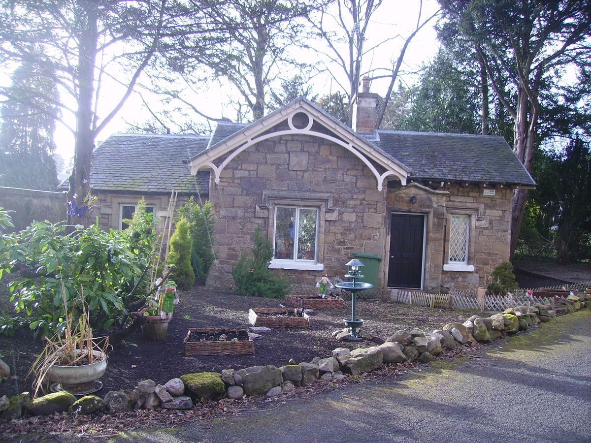
In 1998 Eskgrove was purchased by the current owners. Eskgrove Lodge was sold in 2004 and the Stable in 2009.
- Features & Designations
Designations
Historic Environment Scotland Inventory of Battlefields
- Reference: Battle of Pinkie 10 September 1547
Features
- Villa (featured building)
- Description: 2-storey and basement, 5-bay sandstone villa
- Earliest Date:
- Latest Date:
- Key Information
Type
Garden
Survival
Extant
Hectares
1.8
Electoral Ward
Musselburgh Central
- References
Contributors
Deborah MacKay, East Lothian Gardens and Designed Landscapes Recording Project under the auspices of The Garden History Society in Scotland