Introduction
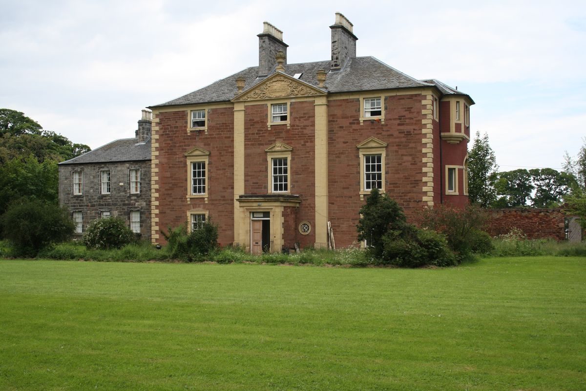
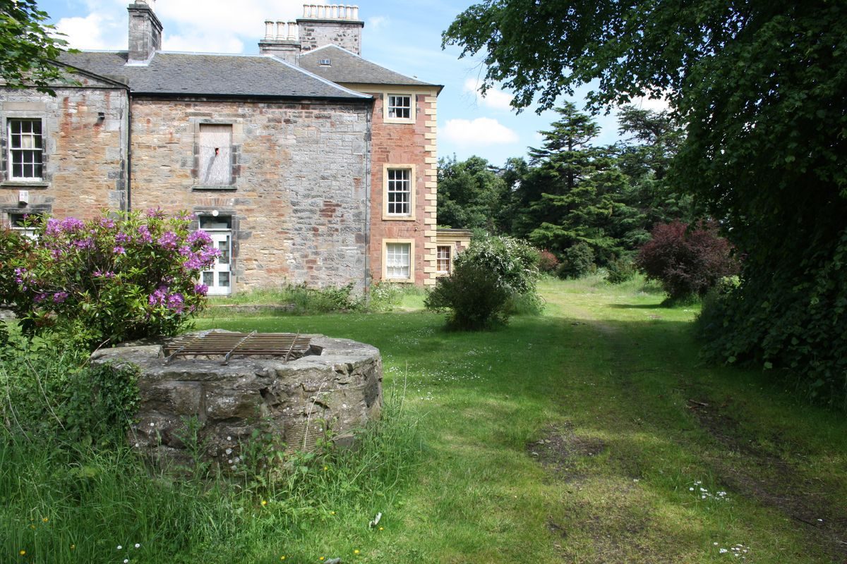
Drummohr is a mansion-house with designed landscape dating from the mid-18th century.
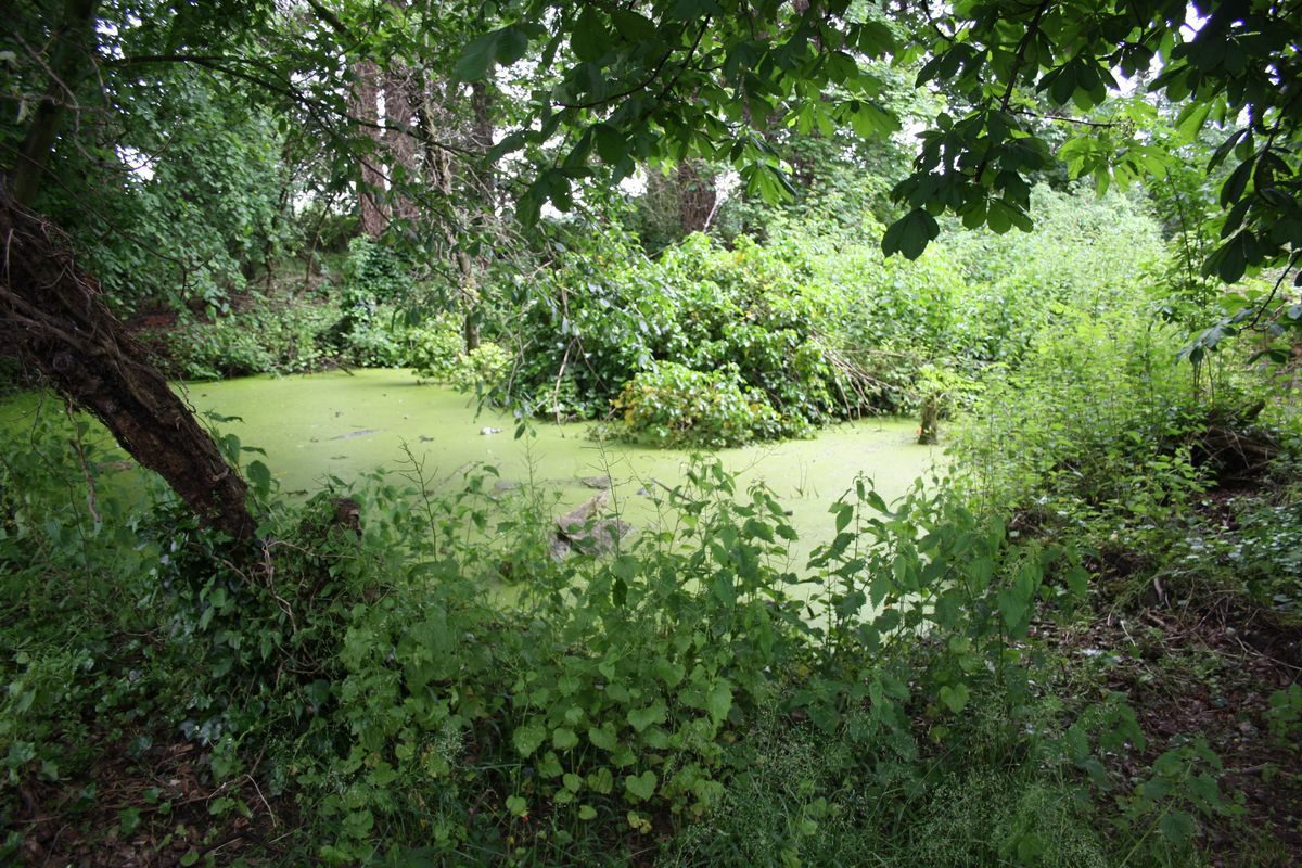
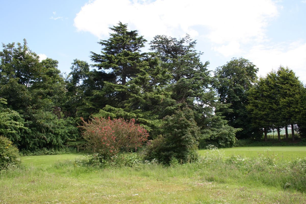
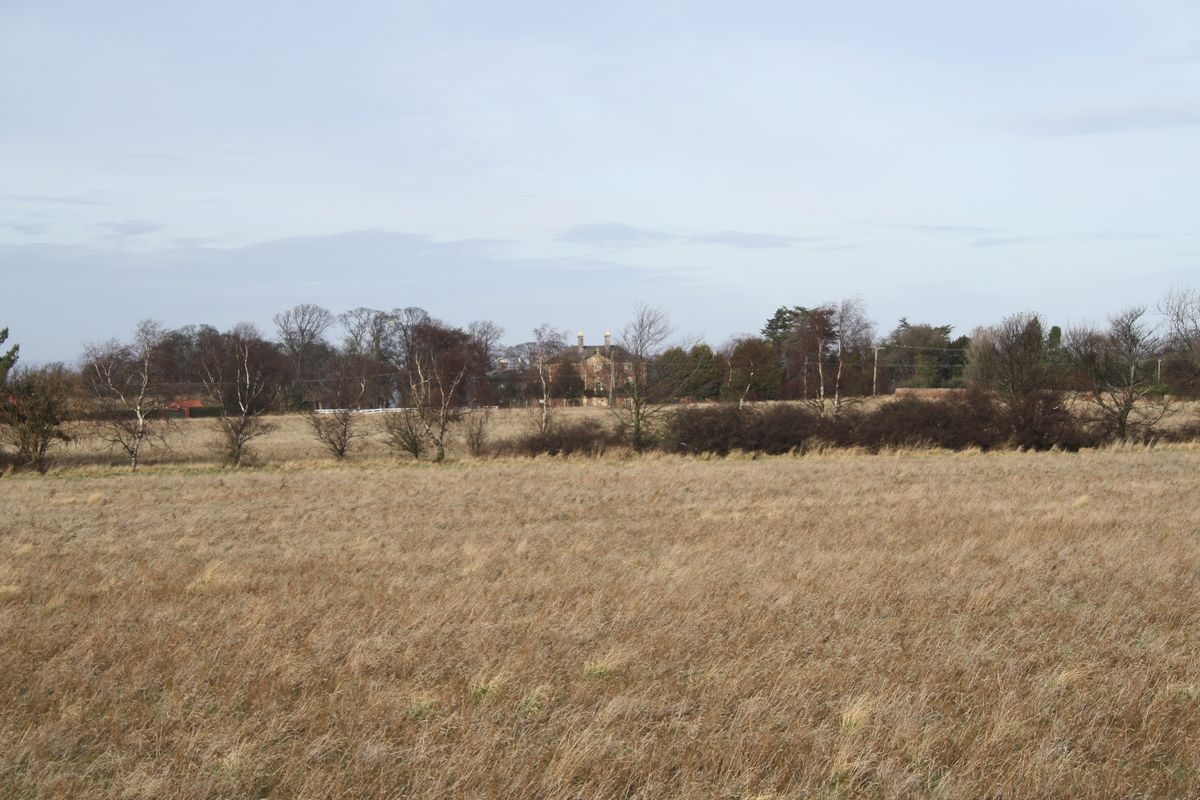
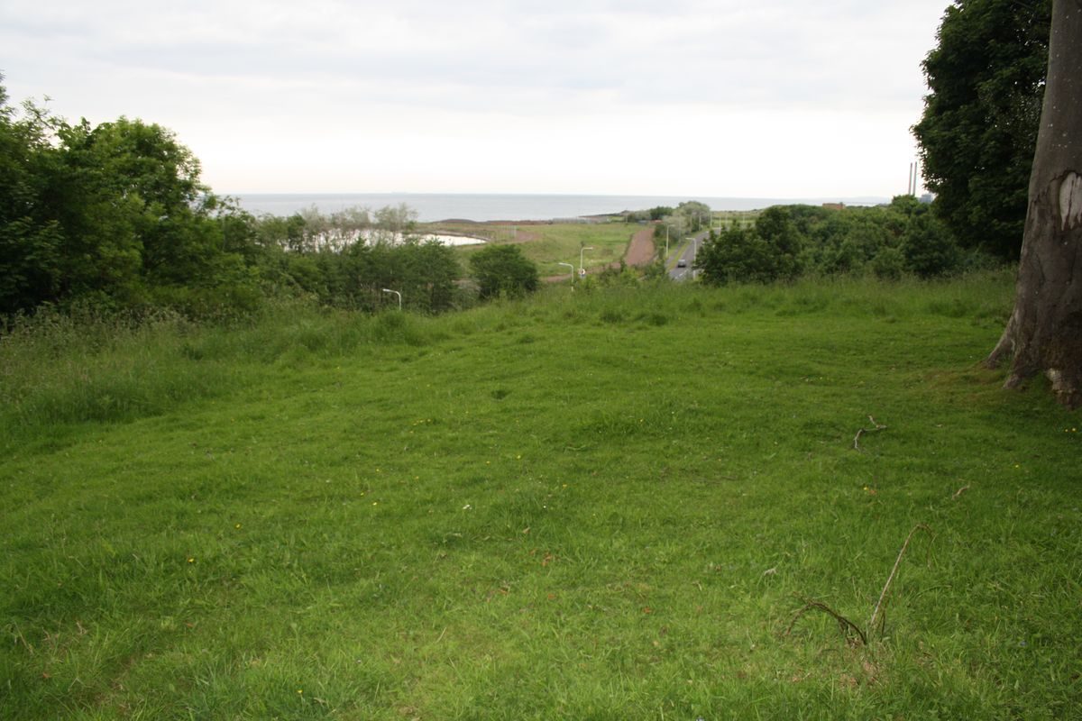
The surviving house at Drummohr was constructed in the mid-18th century replacing an earlier property, Westpans. The layout of the designed landscape appears to date from this time, providing the setting for the new mansion house. Although the landscape was extended and modified during the 19th century, and despite several changes of use in the 20th century for both house and landscape, the broad structure of the design survives to the present day. Views sout-east from Drummohr are towards Falside Castle and Hill, and to the north and north-west towards The Firth of Forth, Inchkeith and Fife.
Further details about Drummohr are available on the Royal Commission on the Ancient and Historic Monuments of Scotland website:
http://canmore.rcahms.gov.uk/en/site/346318/details/drummohr/
http://orapweb.rcahms.gov.uk/wp/00/WP003806.pdf
REFERENCES
1. MAPPED SOURCES
Unless otherwise stated all maps referenced are from the online National Library of Scotland Map Collection
http://maps.nls.uk
1736 John Adair - A Map of East Lothian
1745 Herman Moll - Lothian : Contains The Shire of Linlithgow or West Lothian The Shire of Edinburgh or Midlothian and Haddington or East Lothian
Circa 1755 William Roy - Military Survey of Scotland (Lowlands)
1802 William Forrest - Map of Haddingtonshire
1815 George Thomas – Survey of the Frith [sic] of Forth
1820 John Thomson - Haddington
Ordnance Survey First Edition Six inch to One mile Edinburghshire Sheet 3 Surveyed 1853, Published 1854 Haddingtonshire Sheet 8 Surveyed 1853, Published 1854
Ordnance Survey First Edition One inch to One mile Edinburgh Sheet 32 Surveyed 1851-56 Published 1857
Ordnance Survey Second & Later Editions Six inch to One mile Edinburghshire Sheet IV.NE Revised 1893, Published 1895 Sheet IV.SE Revised 1893, Published 1895
Ordnance Survey Second & Later Editions 25 inch to One mile Edinburghshire Sheet 004.08 Revised circa1893, Published 1895
Ordnance Survey Second & Later Editions 25 inches to One mile Edinburghshire Sheet 004.12 Revised circa1893, Published 1895
Ordnance Survey Third Edition One inch to One mile Edinburgh Sheet 32 Surveyed 1901 Published 1904
Ordnance Survey Second & Later Editions 25 inches to One mile Edinburghshire Sheet 004.08 Revised circa1906, Published 1907
Ordnance Survey Second & Later Editions 25 inches to One mile Edinburghshire Sheet 004.12 Revised 1906, Published 1907
Ordnance Survey ‘Popular’ Edition One inch to One mile Edinburgh Sheet 74 Revised 1923 Published 1926
- Visitor Access, Directions & Contacts
Directions
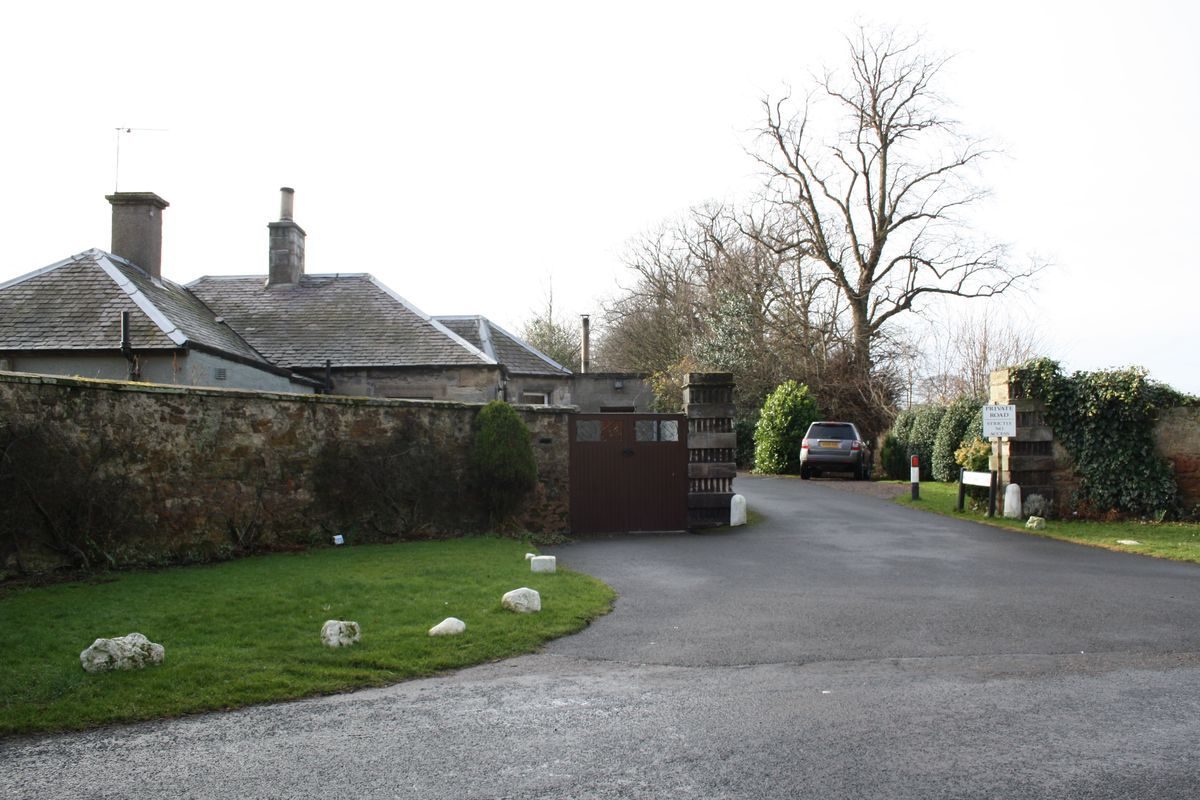
Drummohr is situated approximately 2 kilometres north-east of Musselburgh between the B1348 and the B1361.
- History
The First Statistical Account of Scotland 1791-99 for the Parish of Inveresk records that the mansion house and estate of Westpans was possessed by the Joice, Joicy, or Jossy family in the early-18th century. Westpans is also recorded on the late-17th and early-18th century maps of John Adair and Herman Moll.
In 1753 the existing house, known as Drummore House was built by Sir Hew Dalrymple (born 1690 died 1755), Lord of Session (Lord Drummore) and passed to his son Sir Hugh Dalrymple, in 1755. Dunmore House and the first details of a landscape layout are depicted on William Roy's Military Survey of around 1755, the broad framework of this layout appearing to have survived to the present day.
The estate was purchased by the Rev Robert Finlay of Wallyford in 1762, the Finlay family also owning the neighbouring Wallyford Estate, and in the 1790s passed to Captain David Finlay.
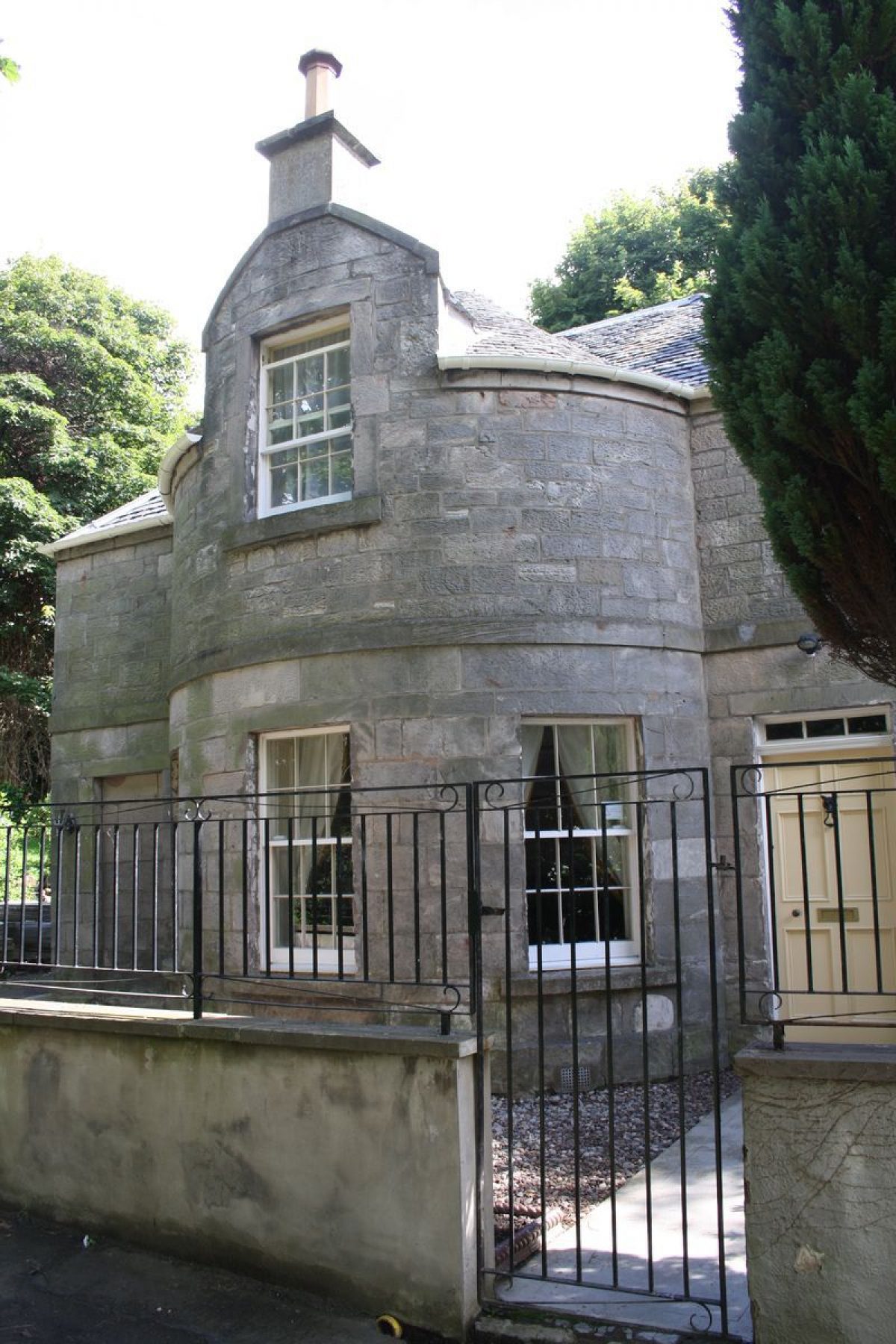
By the early-19th century the house was in the ownership of the Aitchiesons and in 1808 William Aitchieson extended the house, demolishing the west bow and adding the west wing. Two years later, around 1810, William Aitchieson created the west driveway and constructed the West Lodge. Groome's Ordnance Gazeteer of Scotland (1888) records the owner of Drumore as Colonel William Aitchieson who had succeeded to the property in 1846 and undertook further modifications to the house including doubling the size of the extension, adding the front porch and inserting French doors in the east bow.
In 1927 Drummore ceased to be a private residence when the estate was purchased by Loretto School and the Girls' School established in the house, with a playing field created for school sports in 1928.
Loretto School continued to use some of the land for playing fields but in 1932 the house, now renamed Drummohr, was let to the Catholic Church with a religious group, the Passionist Fathers occupying the house.
In 1943 the land was leased to a local farmer for agricultural use in aid of the war effort, and in 1948 sold to the Catholic Church. The estate was sold again in the 1970s with the house being used as a hotel and public house but by 1996 Drummohr House was in use as a care home for the elderly with 60 residents before lying unoccupied.
The field in the north-east corner of estate was turned into a caravan and holiday chalet complex in 2000, and in recent years the house and estate have been the subject of several planning applications:
2010: Planning permission granted to convert the house to flats and build seven houses in the grounds Ref No. 10/00203/P (16 March 2010)
2010: Planning permission granted for extension & refurbishment of West Lodge Ref No. 10/00086/P
2011: Application for Planning Permission in Principle for a mixed use development of the site comprising the erection of up to 1200 houses, local centre etc. by Ashfield Commercial Properties Ltd. Ref. No. 11/00664/PPM.
- Features & Designations
Designations
Historic Environment Scotland Inventory of Battlefields
- Reference: Battle of Pinkie 10 September 1547
Features
- Country House (featured building)
- Description: 3-storey, 3-bay classical pedimented house. Tooled coursed pink sandstone rubble (originally harled)
- Earliest Date:
- Latest Date:
- Key Information
Type
Estate
Principal Building
Domestic / Residential
Survival
Extant
Hectares
66.8
Electoral Ward
Prestonpans West
- References
Contributors
Alan Stevens, East Lothian Gardens and Designed Landscapes Recording Project under the auspices of The Garden History Society in Scotland