Introduction
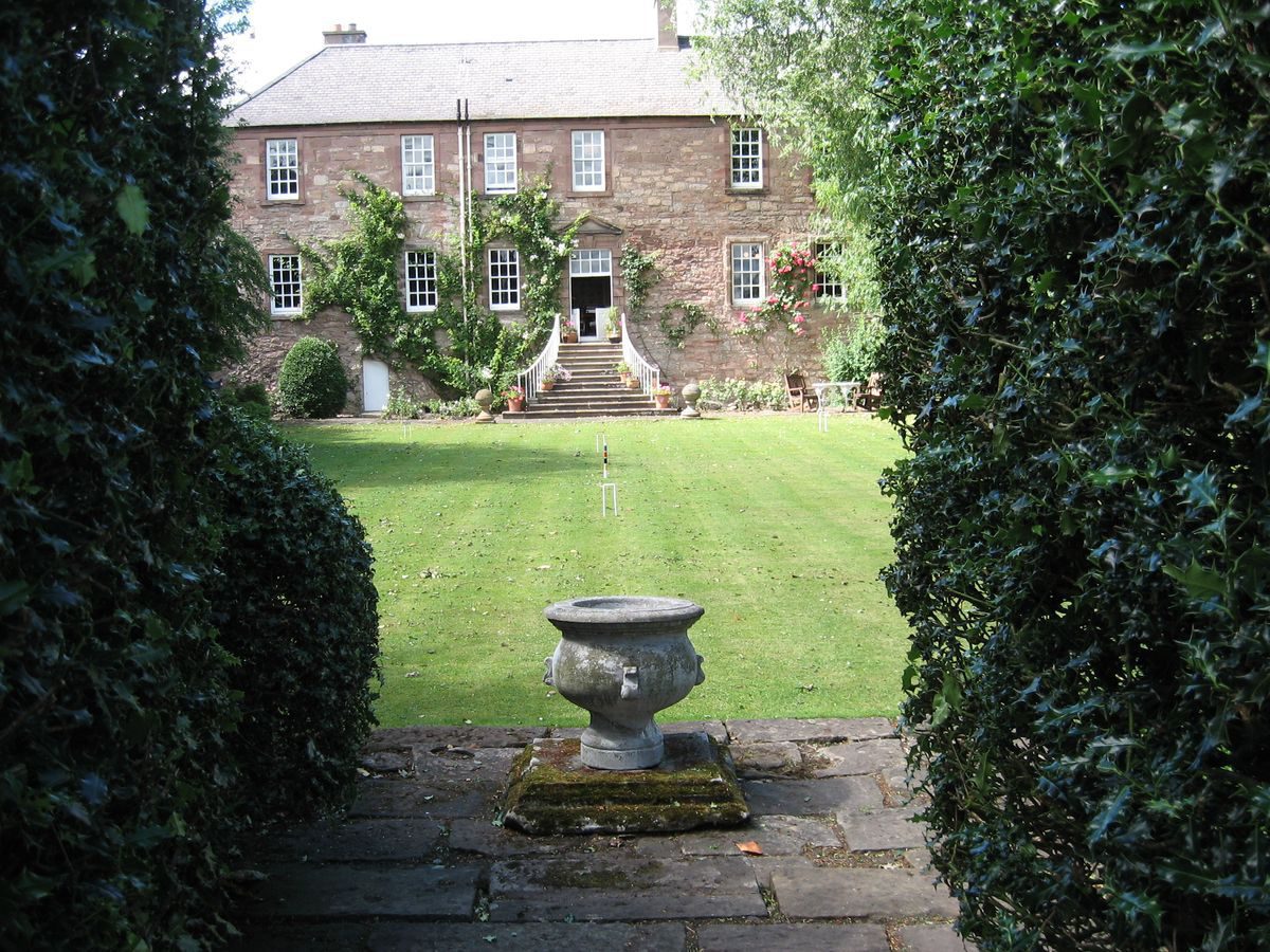
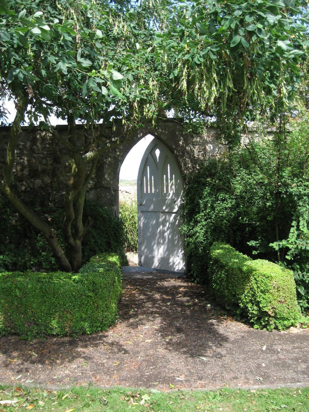
A small, compact country estate, the layout of Monkton House and its ornamental gardens probably dates back to the late-18th or early-19th century. Although the house had become derelict by the mid-20th century subsequent owners of the house and garden have restored and embellished the property to a very high standard.
Further details about Monkton House are available on the Royal Commission on the Ancient and Historic Monuments of Scotland website:
http://canmore.rcahms.gov.uk/en/site/332000/details/monkton+house/
REFERENCES
1. MAPPED SOURCES
Unless otherwise stated all maps referenced are from the online National Library of Scotland Map Collection http://maps.nls.uk
William Roy, circa 1755 Military Survey of Scotland (Lowlands)
T Sharp, C Greenwood & W Fowler, 1828 Map of the County of Edinburgh (Right Sheet)
Ordnance Survey First Edition Six" to 1 mile Sheet 7 Surveyed 1852-53 Published 1854
Ordnance Survey Second & Subsequent Editions 25 inch to 1 mile Sheet 004.15 Revised circa1893 Published 1894
Ordnance Survey Second & Subsequent Editions 6 inch to 1 mile Sheet IV.SE Revised 1893 Published 1895
Ordnance Survey Second & Subsequent Editions 25 inch to 1 mile Sheet 004.15 Revised circa1906 Published 1908
Ordnance Survey Second & Subsequent Editions 6 inch to 1 mile Sheet IV.SE Revised 1909 Published 1909
Ordnance Survey Second & Subsequent Editions 25 inch to 1 mile Sheet IV.SW Surveyed circa1912 Leveled 1913 Published 1914
Ordnance Survey Second & Subsequent Editions 6 inch to 1 mile Sheet IV.SE Surveyed 1913 Published 1919
Ordnance Survey Second & Subsequent Editions 6 inch to 1 mile Sheet IV.SE Revised 1938 Published circa 1947
2. PRIMARY & DOCUMENTARY SOURCES
National Records of Scotland (NRS)
John Ainslie, Late 18th century Plan of Lands of Monkton, Inveresk, Midlothian - NRS RHP 23407
James Hay, 1827 Plan of Monkton, Inveresk, Midlothian - NRS RHP 23410Hopes of Craighall Estate Papers known as the Pinkie Archive - NRS GD377
Document from 1794 leasing the west garden and three small houses and stable to Alex Walker Gardener for 19 years - NRS GH377 127/7
3. HISTORICAL ILLUSTRATIONS & PICTORIAL SOURCES
Royal Commission on the Ancient and Historic Monuments of Scotland (RCAHMS) National Collection of Aerial Photgraphy 006-004-002-0340 sortie 106G_uk_0119 frame 5138 (1946)
Around 2012 Google and Bing Maps Satellite Imagery
Photographic Album documenting the restoration of the house and planting of the garden by John Calderwood Miller (1954-1978) held by current owners.
Photographic Album 1978-2010 held by current owners
4. BIBLIOGRAPHY OF PUBLISHED SOURCES
Statistical Account of Inveresk in The Statistical Account of Scotland ed. Sir John Sinclair (1791-99) vol 16 p1.
Fraser-Mackintosh, Charles 1865 Antiquarian Notes, Papers Regarding Families and Places in the Highlands
Grant, James 1880s Cassell's Old & New Edinburgh James vol 6 pp364-365 http://www.oldandnewedinburgh.co.uk/volume6/page182.html
RCAHMS 1929 Tenth Report with Inventory of Monuments and Constructions in the Counties of Midlothian and West Lothian
Kirke Nash, J 1935 The Birds of Midlothian
McKean, Charles 2001 The Scottish Chateau pp28, 205, 244-5
Monkton House, Old Craighall, Musselburgh - Rettie & Savills Sales Particulars (2010)
McWilliam, Colin 1978 The Buildings of Scotland: Lothian, Except Edinburgh
MacGibbon, David & Ross, Thomas 1887-92 The Castellated and Domestic Architecture of Scotland vol IV p183, vol V p362
- Visitor Access, Directions & Contacts
Directions
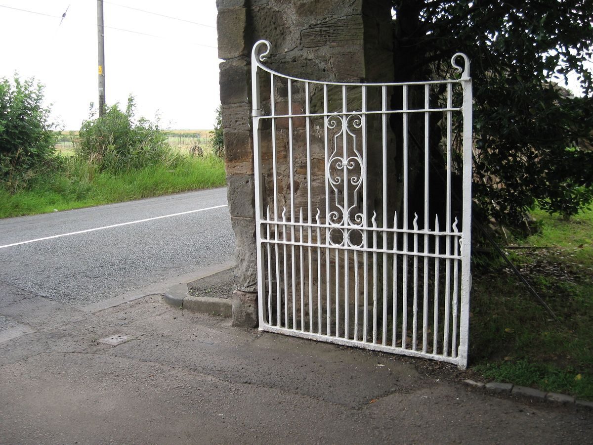
Located on the B5461 approximately 2 kilometres south of Musselburgh.
- History
From about 1450 or 1500 Monkton was a fortified house used as a safe house for the monks of Newbattle Abbey.
The Blaeus' map of around 1650 shows the house marked as ‘mountoun' which means monk's town.
In the late-17th century the building was reputedly remodeled by Sir William Bruce and the top floors sliced off, since when it became known as a house. There is however no evidence for this.
It was owned by the Hays of Yester and sold to the Falconers around 1740 from whom it was forfeited in 1745 and eventually taken over by the Hopes of Pinkie (ownership in 1791) and used as a dower house.
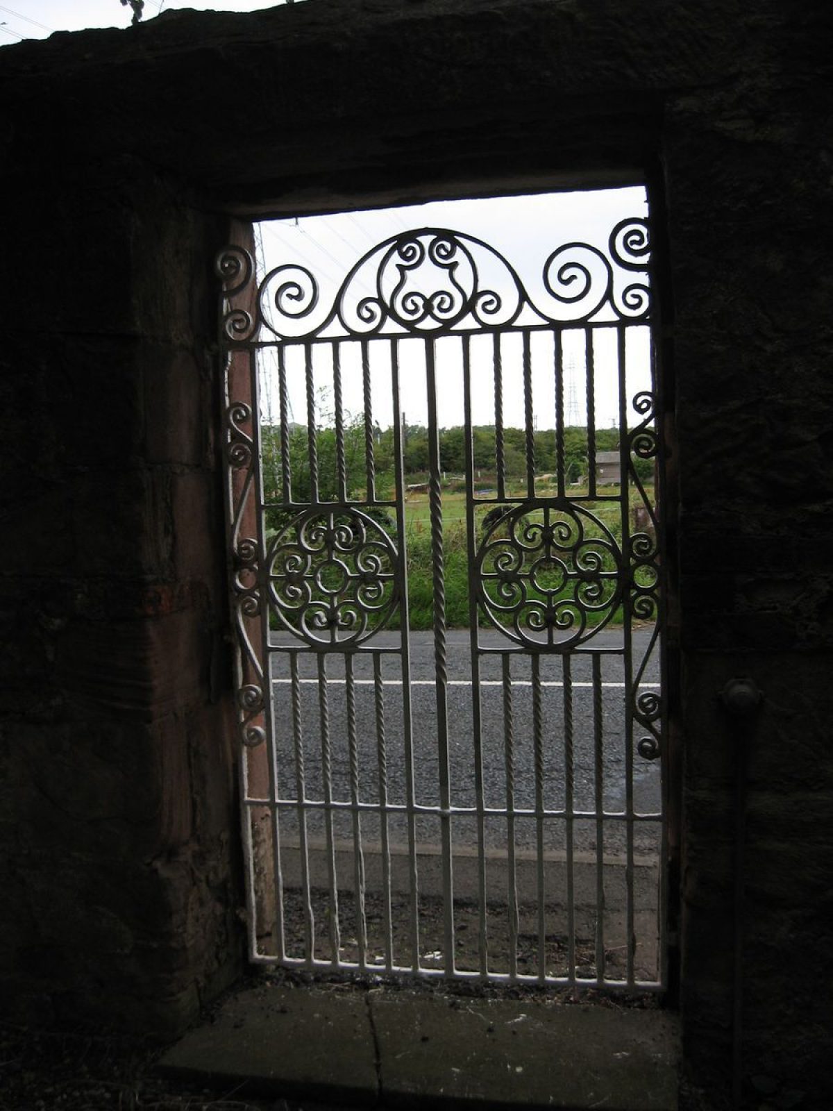
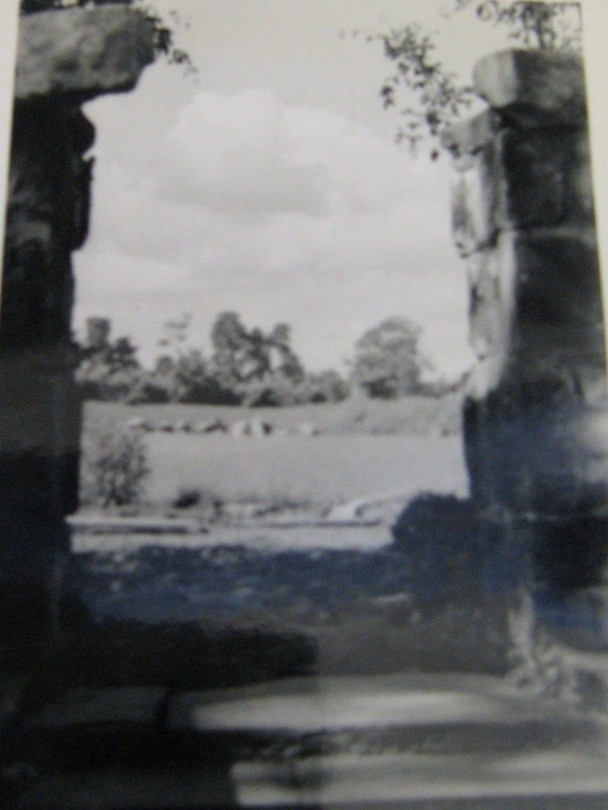
On the Roy Map of around 1755 a number of walled enclosures are shown connected to the property called ‘Mountain', which lie south-west on a dominant axis, the road meandering to the east of its walls to Newton. There is an avenue lying to the south-west in the middle of this enclosure which is three times the length of the north-west avenue. This enclosure is now a field and does not belong to Monkton House.
The whole suggests that the entrance may have been from where the present drive is, north-west with its avenue of trees, however there is no road outside the wall at this time. Entrance to the house in Roy's time may have been through the south gateway where the road to Newton passes. The marked north-east enclosure will probably take up the space of the present nursery adjacent to Monkton House and the field with its wall marked on the 1893 Ordnance Survey. This may account for the Well mentioned in an east field in the 1929 RCAHMS Inventory. NRS plans RHP23407 and RHP23410 show this north-east enclosure to be a well-developed ‘market garden' to the north-east of ‘2 acres, 3 roods and 6.5 furlongs'. This was separately leased from the house in 1794 to Alex Walker, gardener for 19 years, along with three small houses and a stable.
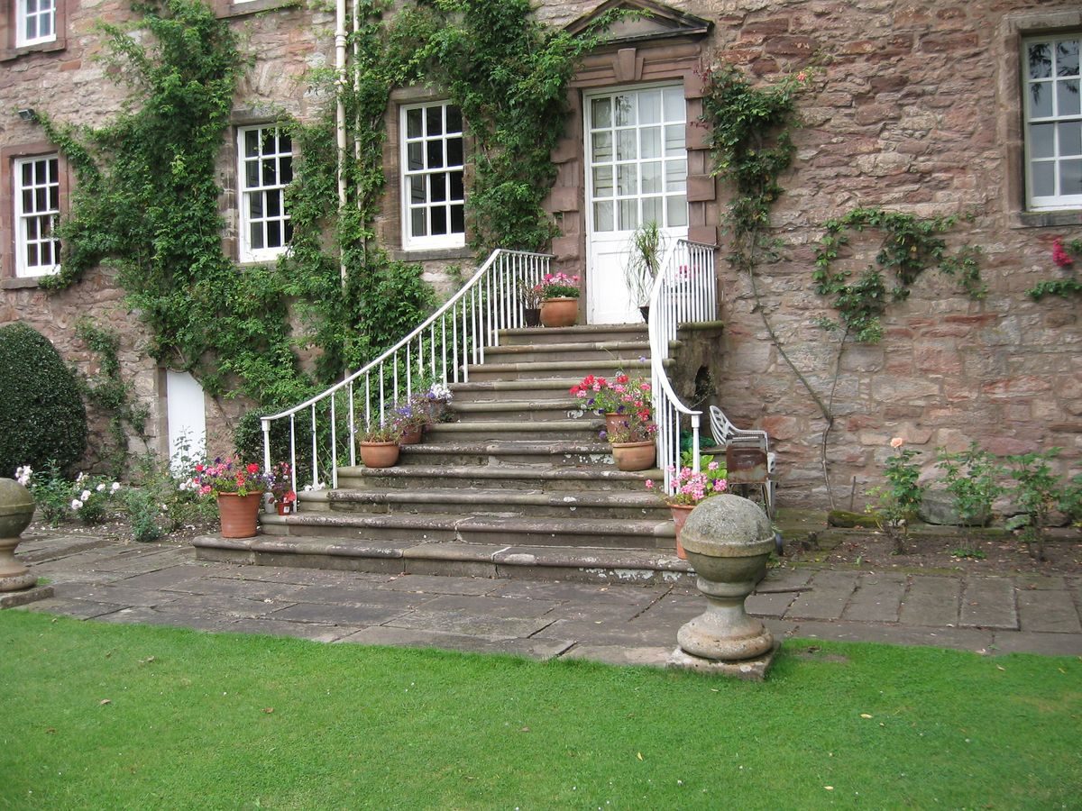
A new straight road to Dalkeith passes the north-west entrance gate. The steps from the piano nobile are marked on the earlier map.
On the Ordnance Survey of 1852 a pump is shown amongst buildings to the north-east of the grass plat which have now been demolished. The drive comes to the south-west end of the house and there is a plat divided down the middle to the south-east which is centered as is present. On the Ordnance Survey of 1893 coniferous and deciduous trees are shown on the grass plat with a path around the outside. The steps from the piano nobile are marked. The field to the north-east has no buildings and there is a path which lines the house to the enclosure at the north-east. The drive with turning circle remains the same as the previous edition with a curved wall from the cottage to link up with the house. There are trees along the drive, probably Elms, with further trees outside the walled garden to the east. There is an avenue of trees, probably fruit trees, in what may have been a kitchen garden in the north-east enclosure. It has paths but no divisions suggesting vegetables were not grown at the time of the map.
By 1945 the house had become derelict and the factor for the Pinkie estate sold the house with the walled garden and the drive for £300. The fields to the north-east and the field adjacent to the cottage to the north-west were not included.
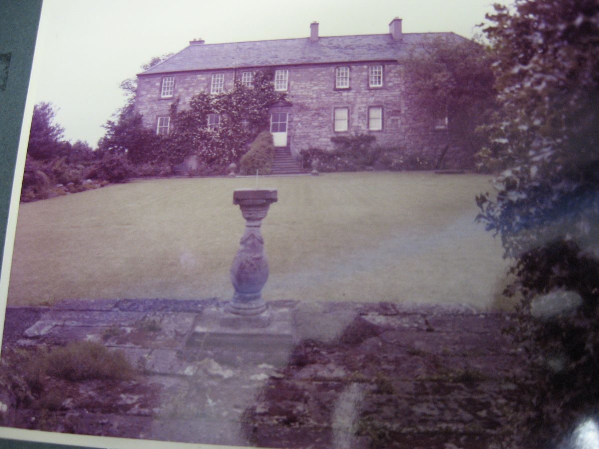
Between 1954 and 1978 John Calderwood Miller restored and embellished the property with reclaimed material from other sites.
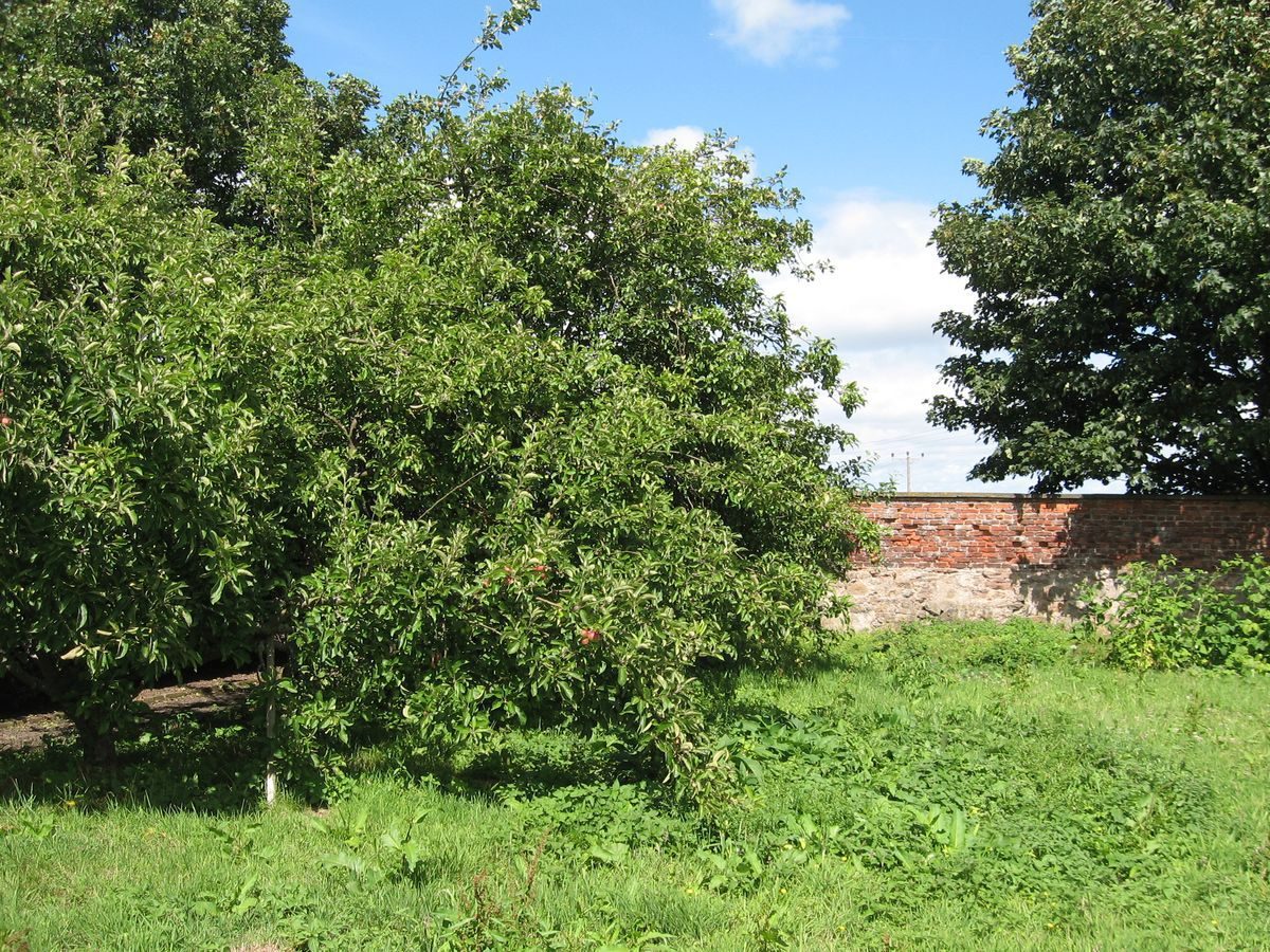
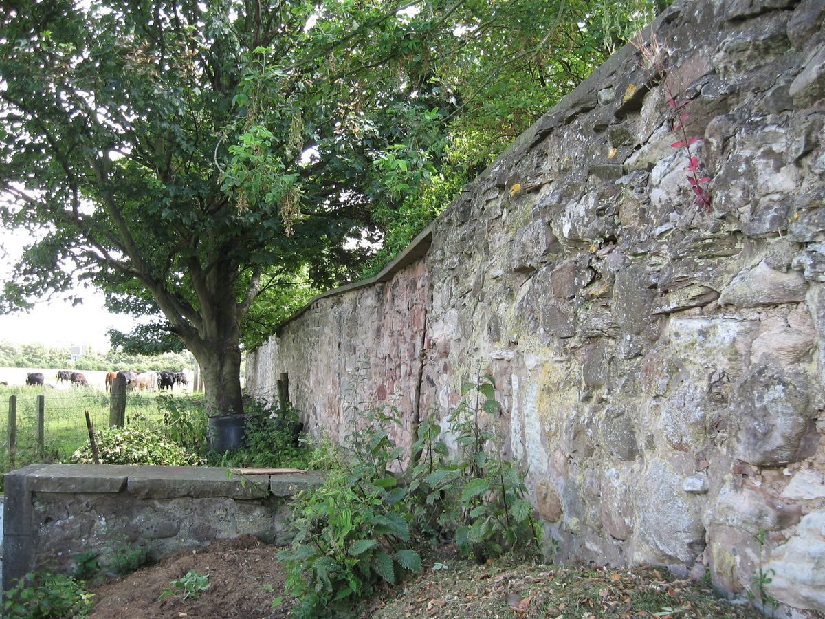
In 1978 the property was purchased by the current owners who also acquired two additional pieces of land; in 1983 the pig field to the north-east, and in the late-1980s part of the field to the south-west. To date they have planted both an Oak and an exotic arboretum, a Hazel/Willow copse, and a Berberis hedge, restored the pig shelter on the north-west boundary wall, and undertaken careful restoration of walls.
(Note: Investigation of the ‘Pinkie' archive, the Hopes of Craighall was only briefly undertaken as the landscape to the south-west shown on the Roy Map no longer exists as a designed landscape and is no longer part of the Monkton property.)
- Features & Designations
Features
- Country House (featured building)
- Description: Three storey mansion house incorporating a 16th-century tower with early- and later-17th century additions. Porch added to the north-west in the 18th century.
- Earliest Date:
- Latest Date:
- Key Information
Type
Estate
Purpose
Ornamental
Principal Building
Domestic / Residential
Survival
Extant
Hectares
1.2
Electoral Ward
Wallyford/Whitecraig
- References
Contributors
Kristina Taylor, East Lothian Landscape Survey, The Garden History Society in Scotland