Introduction
Hans Place is a late-18th-century private square, designed by Henry Holland as part of his Hans Town development. The oval site occupies about 1 hectare and is bounded by Hans Place road. The garden, which covers about 0.75 hectares, is probably very much as originally designed.
Terrain
Levelwww.historicengland.org.uk/listing/the-list
A late 18th century private square, part of Hans Town developed by Henry Holland from 1777 onwards.
DESCRIPTION
LOCATION, AREA, BOUNDARIES, LANDFORM, SETTING
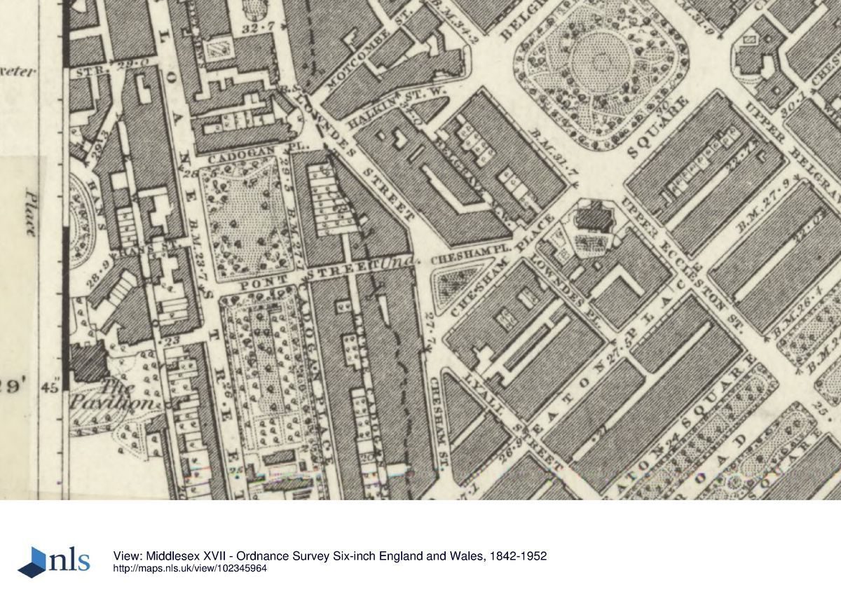
Hans Place is situated to the north of the River Thames in south-west London. Hyde Park (qv) lies c 1km to the north, Victoria Station c 1km to the east, and The Royal Hospital, Chelsea (qv) c 1.5km to the south. The c 1ha oval site is bounded by Hans Place road.
The level garden of Hans Place is enclosed by a privet hedge within iron railings, the railings being replacements for those removed during the Second World War. The road to the west is slightly higher than the garden.
ENTRANCES AND APPROACHES
The main entrance to Hans Place is through C20 double iron gates on the west side of Hans Place. Two single iron gates are located one on the east side and one on the north side.
PRINCIPAL BUILDING
Little remains of Henry Holland's development for which the garden of Hans Place was laid out. The houses in the area, a mixture of individual commissions and speculative groups, began to be laid out in the grounds of Holland's Pavilion by the Cadogan and Hans Place Estate Ltd in 1875. Three house survive from Holland's development: nos 15, 33, and 34 (Cherry and Pevsner 1991).
GARDENS
The main entrance from the west side of Hans Place leads onto a gravel perimeter path. The path is largely screened from the road by the privet hedge and occasional clumps of shrubs. A lesser path situated in line with the east gate leads onto the oval central lawn which is decorated with trees and shrubs. Mature London planes survive to the north and a veteran horse chestnut to the south. Shrub beds around the edge of the lawn largely screen the latter from the road. The garden has an informal appearance, the only structure being a wooden pergola to the west which was made in the late C20 from timber reclaimed from a derelict summerhouse.
REFERENCES
B Cecil, London Parks and Gardens (1907), p 123
B Cherry and N Pevsner, The Buildings of England: London 3 North West (1991), p 99
M Brown, The History of the Cadogan Estate, (student dissertation 1994) [copy on EH file]
Maps [all held in London Metropolitan Archives]
James Hamilton, Map of Chelsea, surveyed in the year 1664
F P Thompson, To The Earl Cadogan, This Map of Chelsea, from a new and actual survey of Chelsea and the Fulham Road, 1836
Cadogan and Hans Place Estate Map, 1880
OS 25" to 1 mile: 1st edition revised 1871-2
OS 60" to 1 mile: 2nd edition published 1897
Decription written: February 2000
Register Inspector: LCH
Edited: January 2002
- Visitor Access, Directions & Contacts
Directions
West of Sloane Street. Nearest tube station - Knightsbridge.
- History
The following is from the Register of Parks and Gardens of Special Historic Interest. For the most up-to-date Register entry, please visit the The National Heritage List for England (NHLE):
www.historicengland.org.uk/listing/the-list
HISTORIC DEVELOPMENT
Chelsea Manor was built by Henry VIII in the early 16th century. It was planned as a nursery for his son and became a home for all three of his children. After the restoration of the monarchy in 1660 the estate was sold back to the trustees of the previous owner, the Duke of Hamilton, who had been executed as a supporter of Charles I. In 1712 William Cheyne, the then owner, sold the Manor and estate to Sir Hans Sloane. It then passed to the Cadogan family through the marriage of the second Baron Charles Cadogan to Elizabeth Sloane, daughter of Sir Hans Sloane.
In 1771 the architect Henry Holland (1745-1806), while working as an assistant to Lancelot Brown (1716-1783), approached Lord Cadogan with plans for a new development. An agreement was eventually made in 1777 when Henry Holland took the lease of 100 acres (about 41 hectares) of land and began the development of Hans Town, probably named after Sir Hans Sloane. Hans Town comprised the area now (1999) known as Sloane Street, Sloane Square, Hans Place, and Upper and Lower Cadogan Place. Holland's building programme included, to the west of Hans Place, his elegant house and gardens, The Pavilion. Chelsea began to expand as a residential area at the end of the 18th century and when Henry Holland's lease for Hans Town expired in 1874 the area was ripe for redevelopment. However, although the buildings were altered the garden of Hans Place was retained and there is no evidence to suggest that the design of the garden changed significantly.
The garden of Hans Place continues (1999) in private ownership with entry allowed to key holders only.
Period
- 18th Century (1701 to 1800)
- Late 18th Century (1767 to 1800)
- Associated People
- Features & Designations
Designations
The National Heritage List for England: Register of Parks and Gardens
- Reference: GD1802
- Grade: II
Features
- Hedge
- Description: The level garden of Hans Place is enclosed by a privet hedge.
- Railings
- Description: The iron railings are replacements for those removed during the Second World War.
- Key Information
Type
Designed Urban Space
Purpose
Ornamental
Principal Building
Parks, Gardens And Urban Spaces
Period
18th Century (1701 to 1800)
Survival
Extant
Hectares
0.75
- References
References
- {English Heritage Register of Parks and Gardens of Special Historic Interest} (Swindon: English Heritage 2008) [on CD-ROM] Historic England Register of Parks and Gardens of Special Historic Interest
- Cherry, B. and Pevsner, N. {The Buildings of England: London 3: North West} (London: Penguin, 1991) p 99 The Buildings of England: London 3: North West