Introduction
Edwardes Square is an early-19th-century private square, occupying about 1.2 hectares.
Terrain
Flatwww.historicengland.org.uk/listing/the-list
An early 19th century communal garden, built as an integral part of the Edwardes Square development.
DESCRIPTION
LOCATION, AREA, BOUNDARIES, LANDFORM, SETTING
Edwardes Square is situated in urban west London, c 500m to the south of Holland Park (qv). West Brompton Cemetery (qv) lies c 1km to the south and the Kensington Olympia exhibition centre c 400m to the west. The c 1.2ha level rectangular site is bounded on four sides by the roads of Edwardes Square and is enclosed within C19 iron railings (listed grade II), restored in 1954, set on a low brick wall. Trees and a mixed shrubbery within the railings largely screen the garden from the surrounding roads.
ENTRANCES AND APPROACHES
Access to the garden is provided by six single iron gates, two on each of the north, east, and west sides, and a double iron gate on the south side.
PRINCIPAL BUILDING
Situated on the southern boundary of the garden is the early C19 Tuscan Temple, a two-storey, white-washed stucco residential building with a pedimented portico with four Tuscan columns facing into the garden. The south-facing rear of the house has pilaster decoration. A rectangular single-storey building with a flat roof extends the east side of the house. The Temple was completed by 1820 and continues to be used to accommodate the gardener who is paid by the Gardens Committee. The single-storey extension to the east had been added by 1868 (OS).
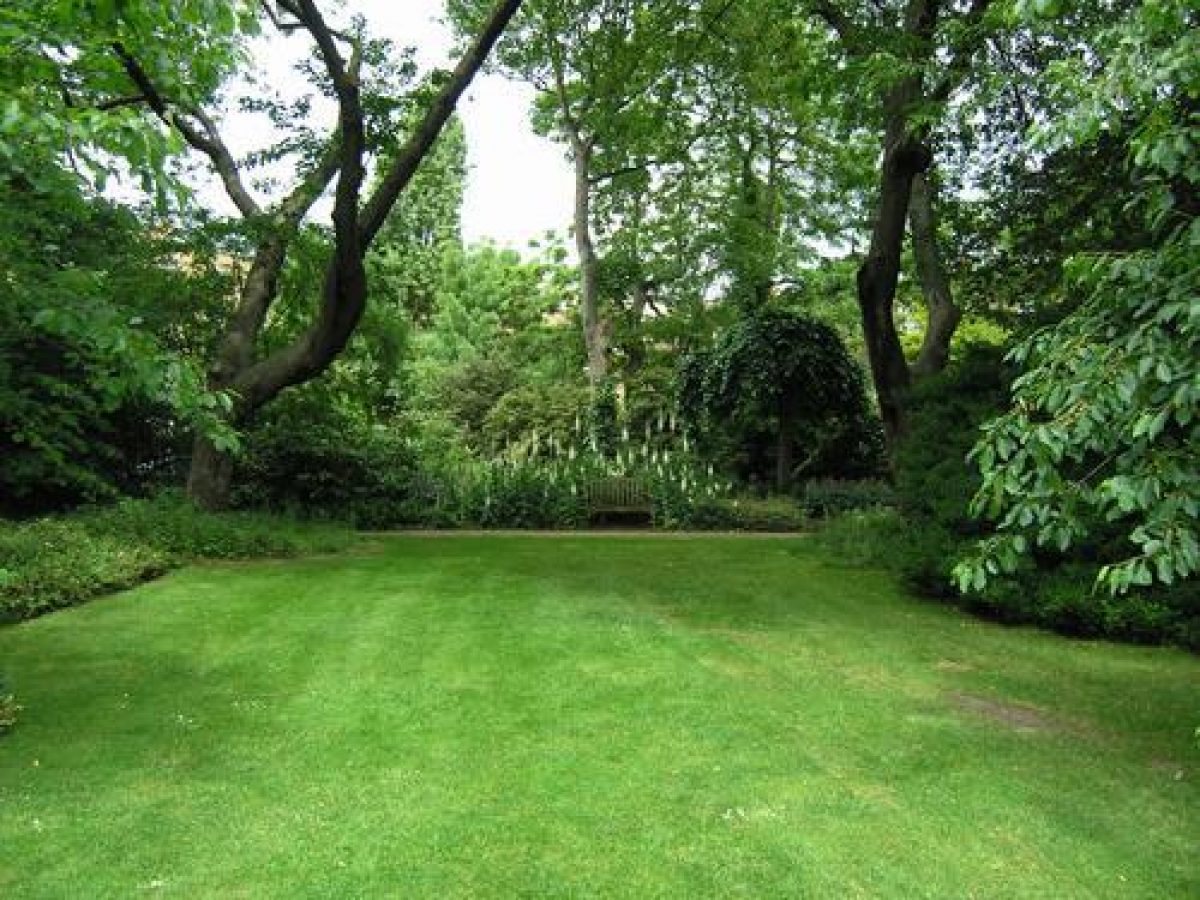
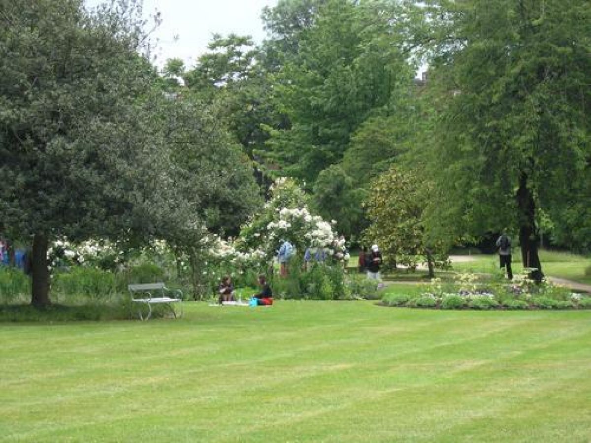
GARDENS
Within the enclosing shrubbery, Edwardes Square is largely laid to grass. Winding peripheral paths encircle the lawns which are crossed by lesser linking paths. Small areas of bedding around the site are planted with roses and annual plants. A variety of trees and shrubs decorate the beds and the lawn. The layout of paths and shrub beds has changed little from those recorded on a survey made in 1851 (Survey of Metropolitan Sewers) although there is now a small C20 play area to the east of the Temple and a range of glasshouses are situated to the west of the south entrance. Small buildings are shown in this area by 1868 (OS 1st edition) and these had increased in number by 1893 (OS 2nd edition). By 1916 (OS 3rd edition) a range of glasshouses similar in plan to those that currently (2000) exist had appeared.
REFERENCES
Gardener's Magazine (1827)
B Cecil, London Parks and Gardens (1907), pp 299-302
E B Chancellor, The History of the Squares of London (1927)
Kensington Society, Ann Rep (1970-1971), pp 24-36
B Cherry and N Pevsner, The Buildings of England: London 3 North West (1991), p 518
Maps
D Brunning, Plan of buildings erected by Mr L L Changeur in the parish of Kensington, 1812 (in Kens Soc Ann Rep 1970-1971)
Map of the parish of Kensington, 1820 (Kensington Library)
Survey of Metropolitan Sewers, 10ft to one statute mile, sheet 467, 1851 (Kensington Library)
OS 25" to 1 mile: 3rd edition published 1916
OS 60" to 1 mile: 1st edition published 1868
2nd edition published 1893-1894
Description written: March 2000
Amended: May 2001
Edited: January 2002
- Visitor Access, Directions & Contacts
- History
The following is from the Register of Parks and Gardens of Special Historic Interest. For the most up-to-date Register entry, please visit the The National Heritage List for England (NHLE):
www.historicengland.org.uk/listing/the-list
HISTORIC DEVELOPMENT
The 18th century ribbon development along the main road through Kensington towards Hammersmith to the west of London had, by 1789, reached Earl's Court Road (then Earl's Court Lane), at which junction there was a toll house and accompanying gate which stood by the main gates of Holland House. Westwards from the toll gate the main road to Hammersmith was largely bordered by hedges with open fields behind (parish map, 1820). Little building work was carried out in the area from 1793 to 1815 due to the rising cost of materials and a shortage of timber resulting from the war with France. Speculative building work did occur however along the main roads out of London and the open road between Kensington and Hammersmith was an obvious site. In May 1811 the builder and developer Louis Leon Changeur, known to have been building in England for some years (Kensington Soc 1970-1971), signed an agreement with the Right Honourable William, Lord Kensington, permitting Changeur to build on 4.5 hectares of Kensington's estate south of Kensington High Street. William Edwardes, Lord Kensington's father, after whose family the Square was named, had already sold much of the family estates to the Right Honourable Henry Holland (1745-1806) in 1767. These lands included Holland House and Park to the north of the High Street. A plan of Changeur's proposed development was drawn up (Brunning, 1812) and included a central rectangular garden surrounded on four sides by the roads named Edwardes Square. The houses of Earls Terrace to the north of the garden faced onto the High Street, the other smaller, less prestigious houses faced onto the garden. Unfortunately the scheme was beset with difficulties and by the end of 1812 Changeur was declared bankrupt. The development continued however, probably under the direction of the Committee of the Trustees of Kensington Turnpike (Kensington Soc 1970-1971).
The garden at the centre of the Square was laid out in 1819 by Paul Alexander Sack, who later became Director of the National Botanic Garden at Buenos Aires (Loudon 1827). In July 1819 an Act of Parliament was passed for paving, cleansing, lighting, watching, watering, planting, and otherwise improving Edwardes Square. Twenty-two trustees were appointed to administer the provision of the Act and were chosen from those who resided in houses connected with the Square. The trustees' responsibilities included not only the security of the residents through appointing watchmen and installing lighting, but also for the sinking of wells and pumps for use of the Square garden and for the general upkeep of the railings, gravel walks, and lodges. Pursuant to the Act, the trustees raised money for the upkeep of the Square garden and some of this money was spent on seats for the garden.
In 1908 the freehold of the Earls Terrace and Edwardes Square garden was bought by speculators with the intention of demolishing Earls Terrace and building over the whole of the site of the Terrace and the Square gardens when the ninety-nine-year leases fell due in 1910. In consequence the trustees, now constituted as the Garden Committee, ceased to maintain the garden after 1908 and instead accumulated funds for payment of dilapidations. When dilapidation orders were served the Garden Committee, representing the residents, took legal proceedings against the speculators. In July 1910 the Court decided in favour of the Garden Committee, giving them the right to look after the garden of Edwardes Square on behalf of the residents, not withstanding the fact that the residents did not own the freehold.
The garden remains (2000) little changed and continues to be managed by a Garden Committee for the use of residents.
- Associated People
- Features & Designations
Designations
The National Heritage List for England: Register of Parks and Gardens
- Reference: GD1796
- Grade: II*
Features
- Croquet Lawn
- Pergola
- Town House (featured building)
- Earliest Date:
- Latest Date:
- Railings
- Earliest Date:
- Latest Date:
- Key Information
Type
Designed Urban Space
Purpose
Ornamental
Principal Building
Recreational
Survival
Extant
Hectares
1.2
- References
References
- {English Heritage Register of Parks and Gardens of Special Historic Interest} (Swindon: English Heritage 2008) [on CD-ROM] Historic England Register of Parks and Gardens of Special Historic Interest
- Cherry, B. and Pevsner, N. {The Buildings of England: London 3: North West} (London: Penguin, 1991) p 518 The Buildings of England: London 3: North West