Introduction
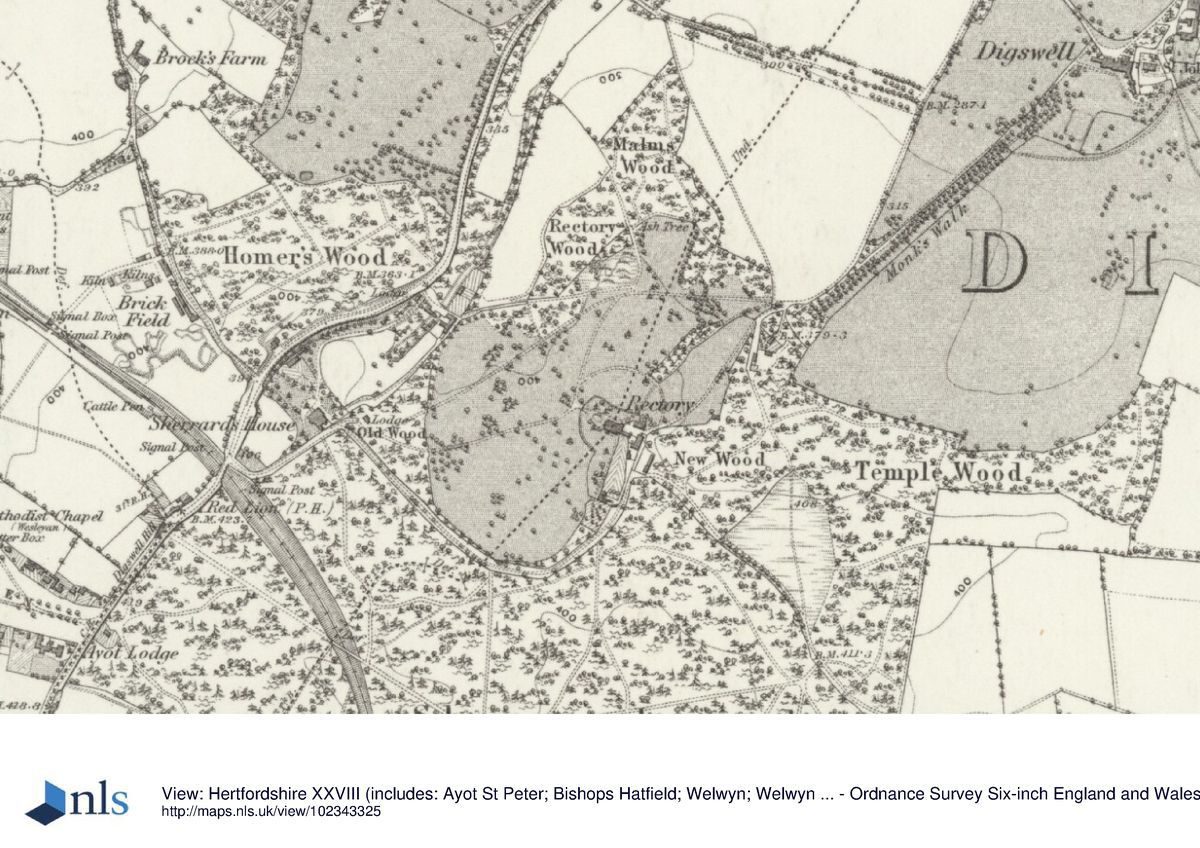
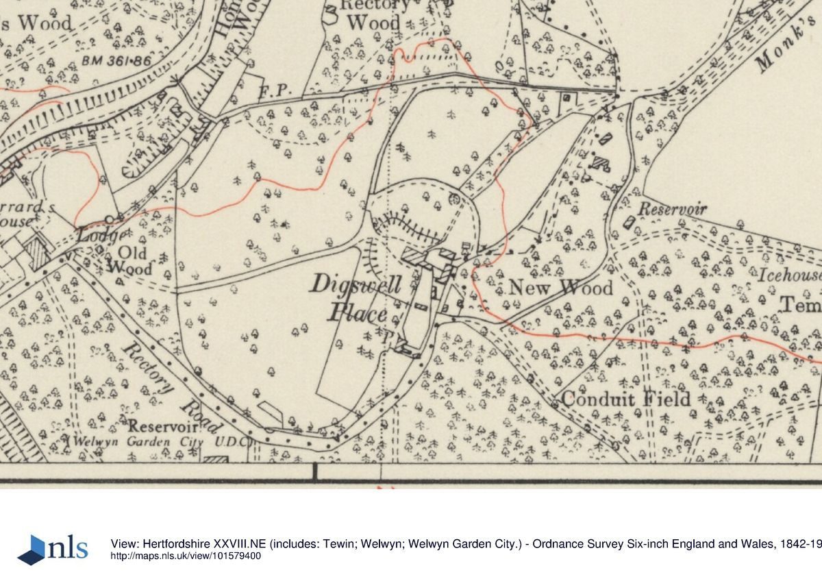
The wider parkland associated with the house has been divided into paddocks for horses although Malms Wood, Old Wood and Rectory Wood survive from the earlier historic planting. Earthworks showing the former position of the Great North Road (moved in 1830) can be seen. The historic planting belt between Digswell Place and Digswell Park Farm, of monkey puzzle, cedar, ash, thorn, larch, oak and sweet chestnut, survives in part.
- Visitor Access, Directions & Contacts
Website
http://www.rda.org.uk/Other Websites
- Associated People
- Features & Designations
Designations
Green Belt
Local Listing or Building of Local Importance
- Reference: Area of Archaeological Significance (Romano-British Settlement)
Features
- House (featured building)
- Description: The house was formerly the Rectory. It was used as an Australian Auxiliary Hospital in World War 1. It is now converted into multiple use, with stables rebuilt for Riding for the Disabled, and houses built in the immediate approach to the house.
- Earliest Date:
- Parkland
- Key Information
Type
Park
Purpose
Recreational/sport
Principal Building
Domestic / Residential
Survival
Part: ground/below ground level remains
Hectares
10
Civil Parish
Welwyn
- References
Contributors
Kate Harwood