

Introduction
Acton Reynald has a hall with an associated park and woodland. There are also extensive formal and kitchen gardens.
- History
Acton Reynald park was created by the Corbet family during the 17th century. The village of Acton Reynald was completely demolished and not relocated to accomodate the hall and park (Raven: 2005, 8).
The hall was largely rebuilt in around 1800 (Newman and Pevsner: 1958, 51). It is possible that the park was remodelled at around the same time. It is worth noting that the park does not appear on Robert Baugh's map of Shropshire dating to 1808 (Trinder: 1983) or the C & J Greenwood map of Shropshire dating to 1827. The Ordnance Survey map of 1891 does record the park as well as recording a 'target' on the edge of the woodland south west of the hall.
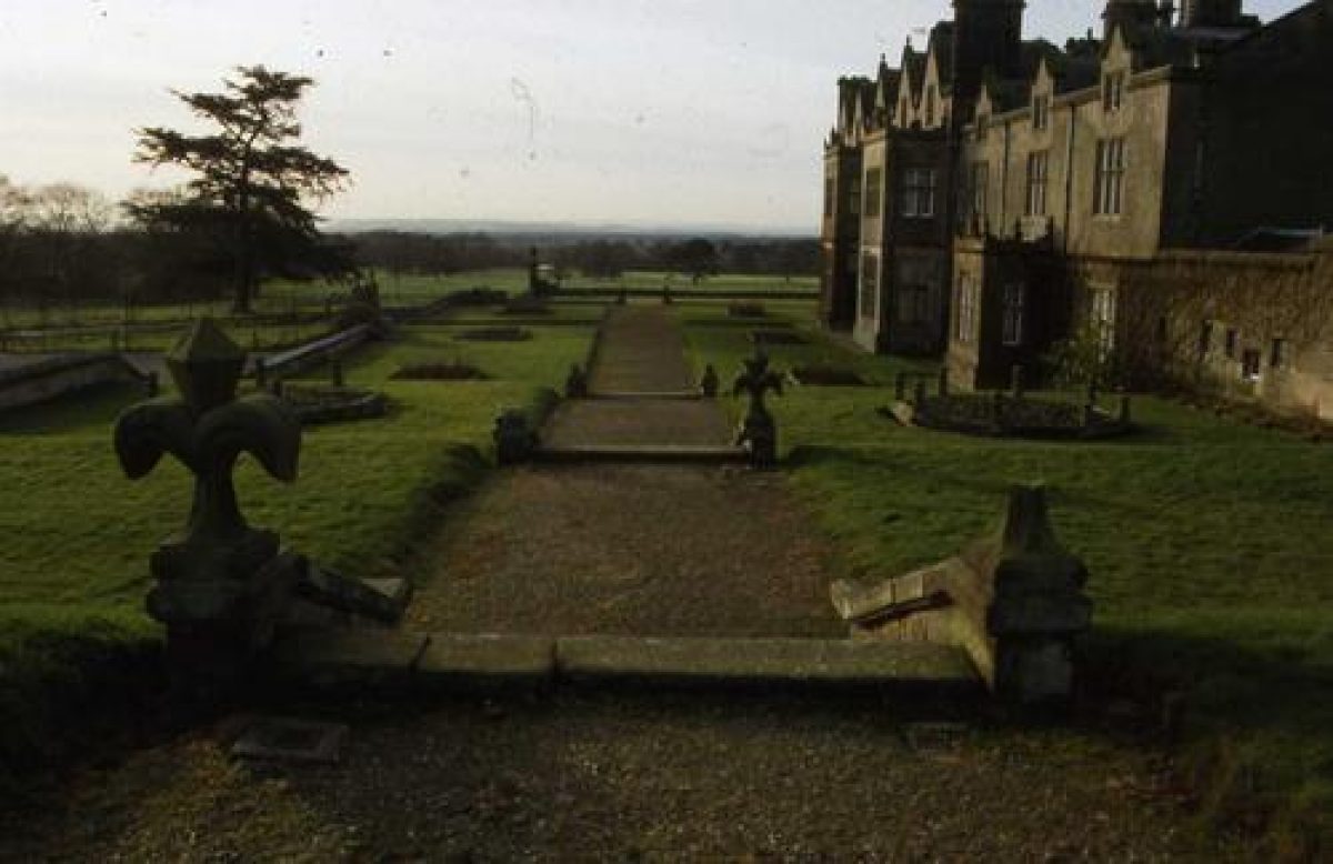
North of the hall are extensive formal and kitchen gardens dating to the mid-19th century. At least part of the kitchen garden complex, including two pavilions dates back to 1847. In 1851 the gardens were managed by Francis Bell (Bagshaw: 1851, 311).
- Features & Designations
Features
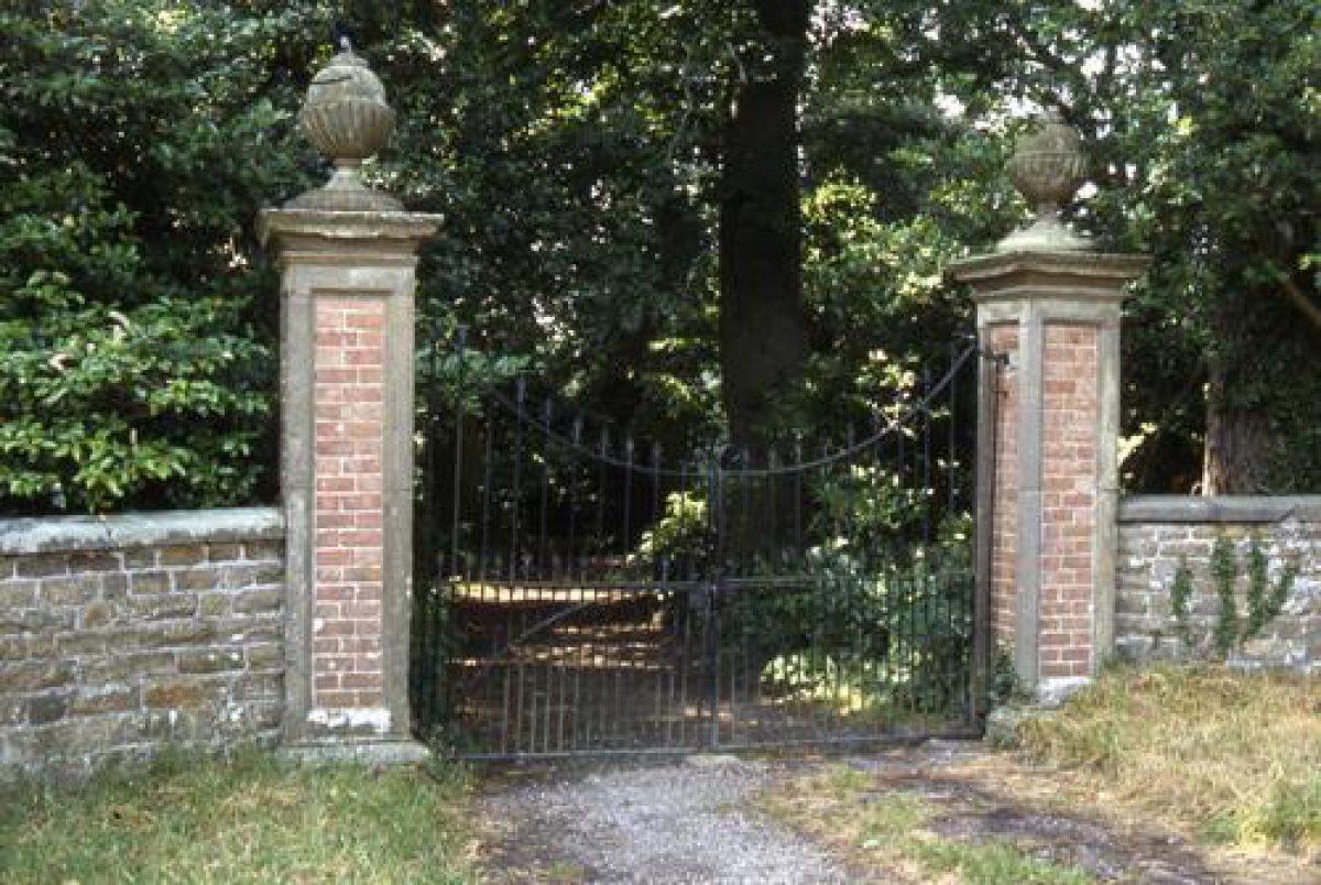
- Gate Lodge
- Gate Lodge
- Gate Lodge
- Obelisk
- Description: The obelisk is located west of the hall.
- Pond
- Boat House
- Conservatory
- Greenhouse
- Pavilion
- Earliest Date:
- Latest Date:
- Pavilion
- Earliest Date:
- Latest Date:
- Key Information
Type
Park
Purpose
Ornamental
Survival
Part: standing remains
Open to the public
Yes
Civil Parish
Moreton Corbet
- References
References
- Trinder, Barrie, {Robert Baugh's map of Shropshire: An Introduction} ([n.p.]: Shropshire Archaeological Society, 1983) Robert Baugh's map of Shropshire: An Introduction
- Raven, Michael, {A Guide to Shropshire} (Shropshire: Michael Raven, 2005) A Guide to Shropshire
- Newman, John and Nikolaus Pevsner, {Shropshire (Pevsner Buildings of England)} (London: Yale University Press, 2006) The Buildings of England: Shropshire
- Bagshaw, Samuel, {History, gazetteer, and directory of Shropshire; comprising a general survey of the county, etc} ([n.p.]: [n.pub.], 1851) History, gazetteer, and directory of Shropshire; comprising a general survey of the county, etc