Introduction
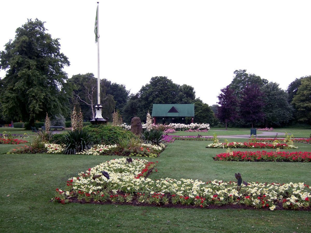
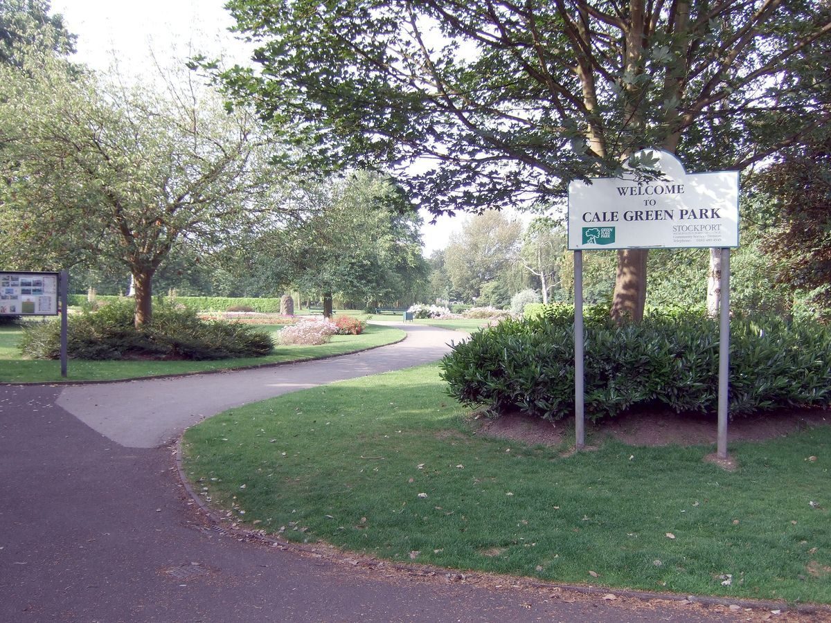
Cale Green Park is a public park developed this century on agricultural land. The site is bounded by a railway line to the south, Heath Road to the east and Beech Road to the north. It is associated with a cricket ground to the west. The site is roughly rectangular in shape, with a central circular feature and system of intersecting paths.
- Visitor Access, Directions & Contacts
Website
http://www.calegreenpark.org.uk/Access contact details
This is a municipal site for general public use.
Owners
Stockport Metropolitan Borough Council
Town Hall, Edward Street, Stockport, SK1 3XE
- History
Period
- 20th Century (1901 to 2000)
- Early 20th Century (1901 to 1932)
- Features & Designations
Features
- Bowling Green
- Pavilion
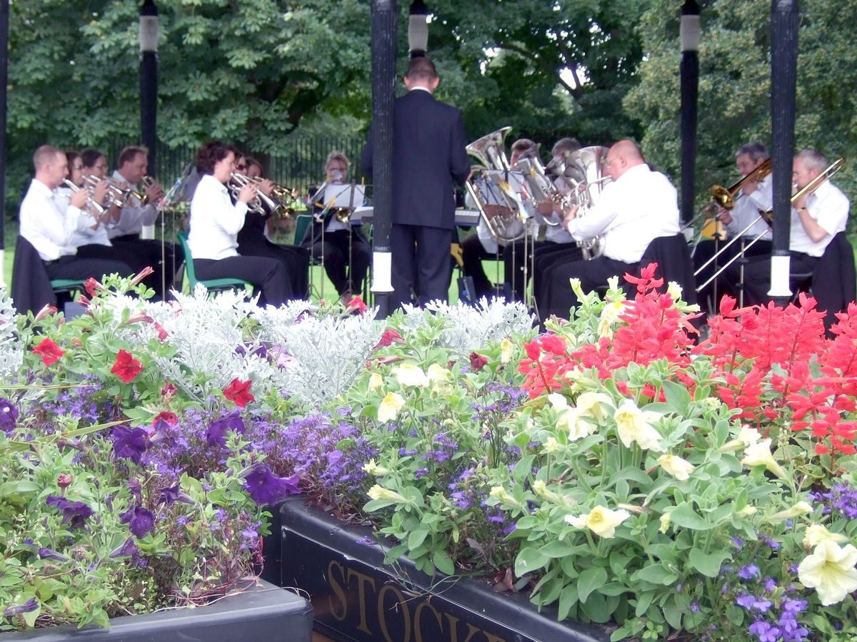
- Bandstand
- Key Information
Type
Park
Purpose
Recreational/sport
Principal Building
Parks, Gardens And Urban Spaces
Period
20th Century (1901 to 2000)
Survival
Extant
Hectares
4
Open to the public
Yes
Electoral Ward
Davenport and Cale Green
- References
References
- University of Manchester and University of York, {A Survey of Historic Parks and Gardens in Greater Manchester}, York, 1994 A Survey of Historic Parks and Gardens in Greater Manchester
Contributors
Cheshire Gardens Trust
Greater Manchester Archaeological Unit
Friends of Cale Green Park