Introduction
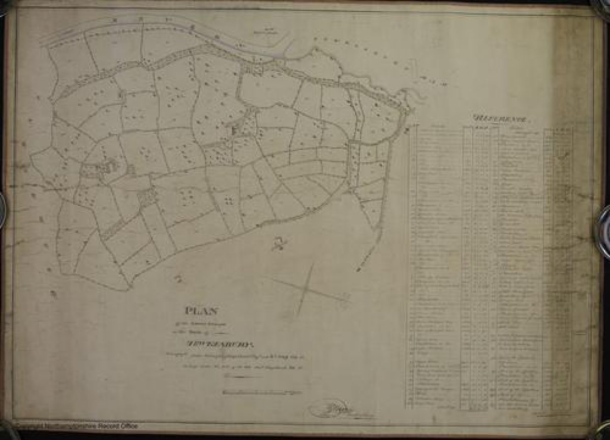
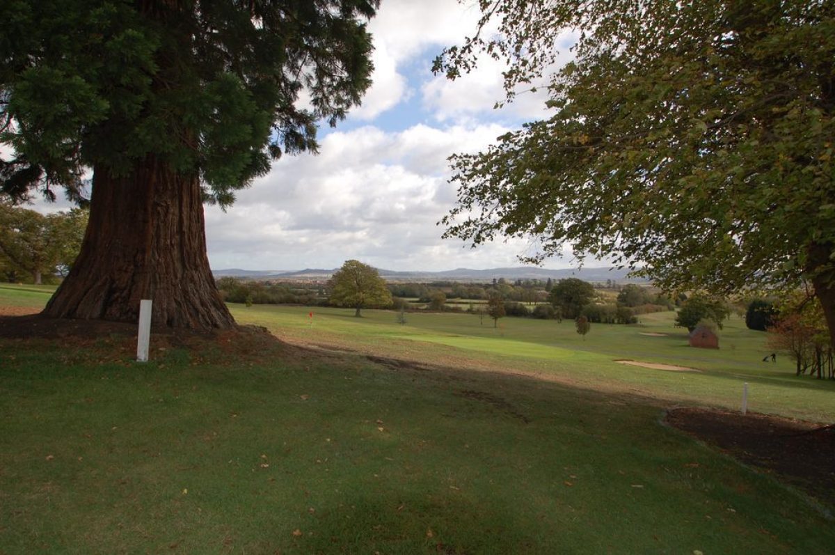
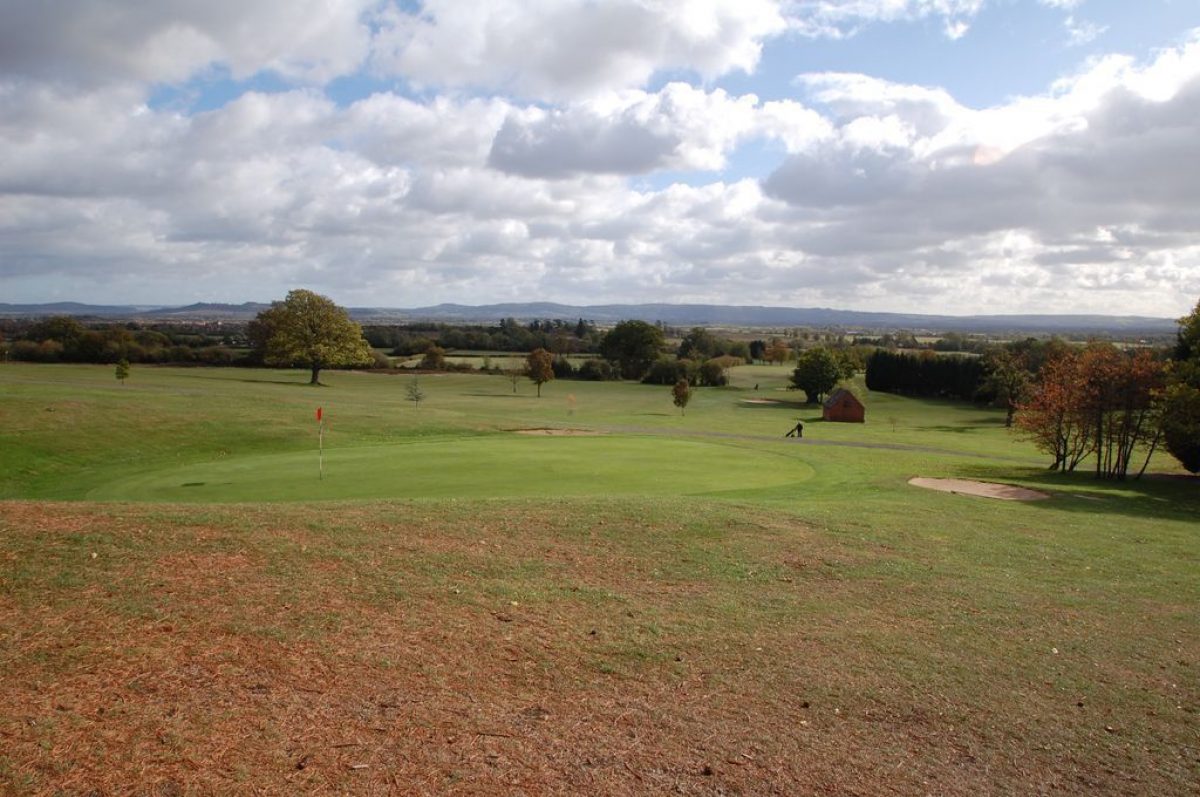
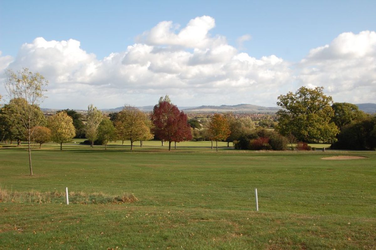
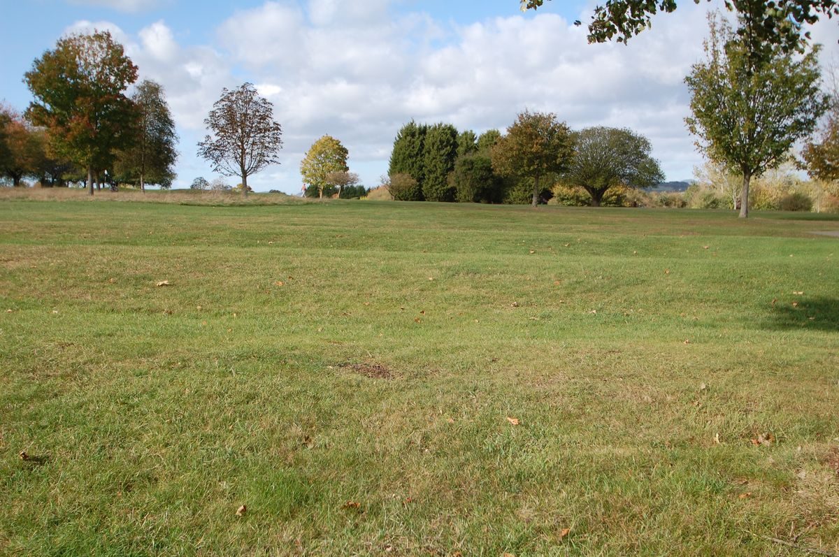
Much of the boundary of the medieval deer park of Tewkesbury is visible today. It is well-defined with banks and hedges; its outlines were clear on two early nineteenth century maps. Today it is partly agricultural and partly a golf course, with a limited amount of development around Lincoln Green. The park was enclosed between 1185 and 1187. It was stocked with deer, and there is record in 1214 of a 'parker' who had custody of the park. In 1296 it was said to be 200 acres, though by 1540 (in the Ministers' accounts following the Dissolution of the Abbey) the park contained only 80 acres and the rest had reverted to agricultural use. The tenant of the park had to repair the Park Pale and 300 bucks were to be 'well and sufficiently guarded'. There are no references to deer after the 16th century.
- Visitor Access, Directions & Contacts
Telephone
01684 272300Directions
To the west of the A38 Gloucester to Tewkesbury road, south of Tewkesbury.
Other Websites
- History
Southwick and the Park have been much less researched historically than the borough or town of Tewkesbury. This whole area south of Tewkesbury was called ‘Southwick’, a township and tithing separately taxed, and comprising an agricultural settlement and its land. It was named in Domesday Book. In 1662 there were 21 houses in Southwick, and in 1841 there were 23. They were scattered on Lincoln Green and around Southwick Farm. Although there has been quite a lot of house-building, it is principally still an agricultural area and a golf course.
The new Borough Council Offices (built after reorganisation of 1974), on Windmill Hill, stand on the site of a medieval house which was excavated prior to building. Evidence of a large house was found (see report in the Trans. Bristol & Glouc. Arch. Soc.), but it was doubted if it were extensive enough for the manor house of the De Clare and Despenser lords of Tewkesbury. Other sites for that house are also possible.
Windmill Hill was in Southwick and probably also within the boundaries of the medieval deer park. The windmill recorded in 1291 was probably here.
There is evidence of a large medieval house under and around Tewkesbury Park, a late 18th century house. This house, earlier called Tewkesbury Lodge, was certainly the manor house of Tewkesbury by the late 14th century, and it was in the park. Leland about 1540 referred to ‘a fair manor place of tymbre and stone yn in this theoksbyri parke, wher the Lord Edward Spenser lay and late my Lady Mary’ It was usual to call a house within a deer park a ‘lodge’. The house passed through many owners’ hands, including the Crown and Tewkesbury Abbey’s. In 1964 it was still a private house.
Southwick Farm, now called Southwick Park Farm, is mid-19th century, but is on the site of an earlier house. In 1662 it had 5 hearths. From 1952 until 1972 it was used by the Grammar School and then by Severn-Trent Water Board.
In 1185 and 1187 the park was being enclosed. It was stocked with deer, and there is record in 1214 of a ‘parker’ who had custody of the park. In 1296 it was said to be 200 acres, though by 1540 (in the Ministers’ accounts following the Dissolution of the Abbey) the park contained only 80 acres and the rest had reverted to agricultural use. The tenant of the park had to repair the Park Pale and 300 bucks were to be ‘well and sufficiently guarded’. There are no references to deer after the 16th century. The medieval road from Tewkesbury to Gloucester passed via the Lower Lode (where there was a ferry) and beside the river Severn, along the edge of the park. This was the road followed by Queen Margaret in 1471. Another road passed via Gubshill to Cheltenham, and was followed by King Edward. The battle of Tewkesbury was fought in the Gastons, a large pasture field outside the park boundaries. Part of Edward’s forces was able to hide in the park and sweep down on the luckless Lancastrians. When they fled, some were trapped in Bloody Meadow, a deep valley ending in a steep bank and ditch which formed the boundary of the park and still clearly exists. Much of the Park boundary is very strongly marked by banks, ditches, trees and hedges.
Period
- Medieval (1066 to 1540)
- 12th Century (1101 to 1200)
- Features & Designations
Designations
The National Heritage List for England: Listed Building
- Reference: Tewkesbury Park
- Grade: II
Features
- Embankment
- Ditch
- Ditch
- Key Information
Type
Park
Purpose
Recreational/sport
Principal Building
Recreational
Period
Medieval (1066 to 1540)
Survival
Extant
Hectares
80
Open to the public
Yes
- References
References
- Map of Lodge estate by Croome
- Vol. 8 pp 110-169 Victoria County History: Gloucester, Volume 8