
Introduction
From the 1500s land began to be 'allotted' to the rural poor for growing vegetables and raising a pig and/or cow and chickens.Interviewing people from Wensleydale for the project 'Dales Plants and Gardens 1900-1960' has shown that few people remember either their parents or neighbours having a garden. Garths and good land went to grazing before anything else.However, during one interview a reference to Canaan Allotments in Redmire came up. Since then Canaan Allotments have been referred to by other people.
Terrain
moors, fells and upland- Visitor Access, Directions & Contacts
Telephone
01969 666210Access contact details
Although much of the countryside in Wensleydale is designated as open access under the Countryside and Rights of Way Act, the individual gardens are all private property. Please do not trespass.
Directions
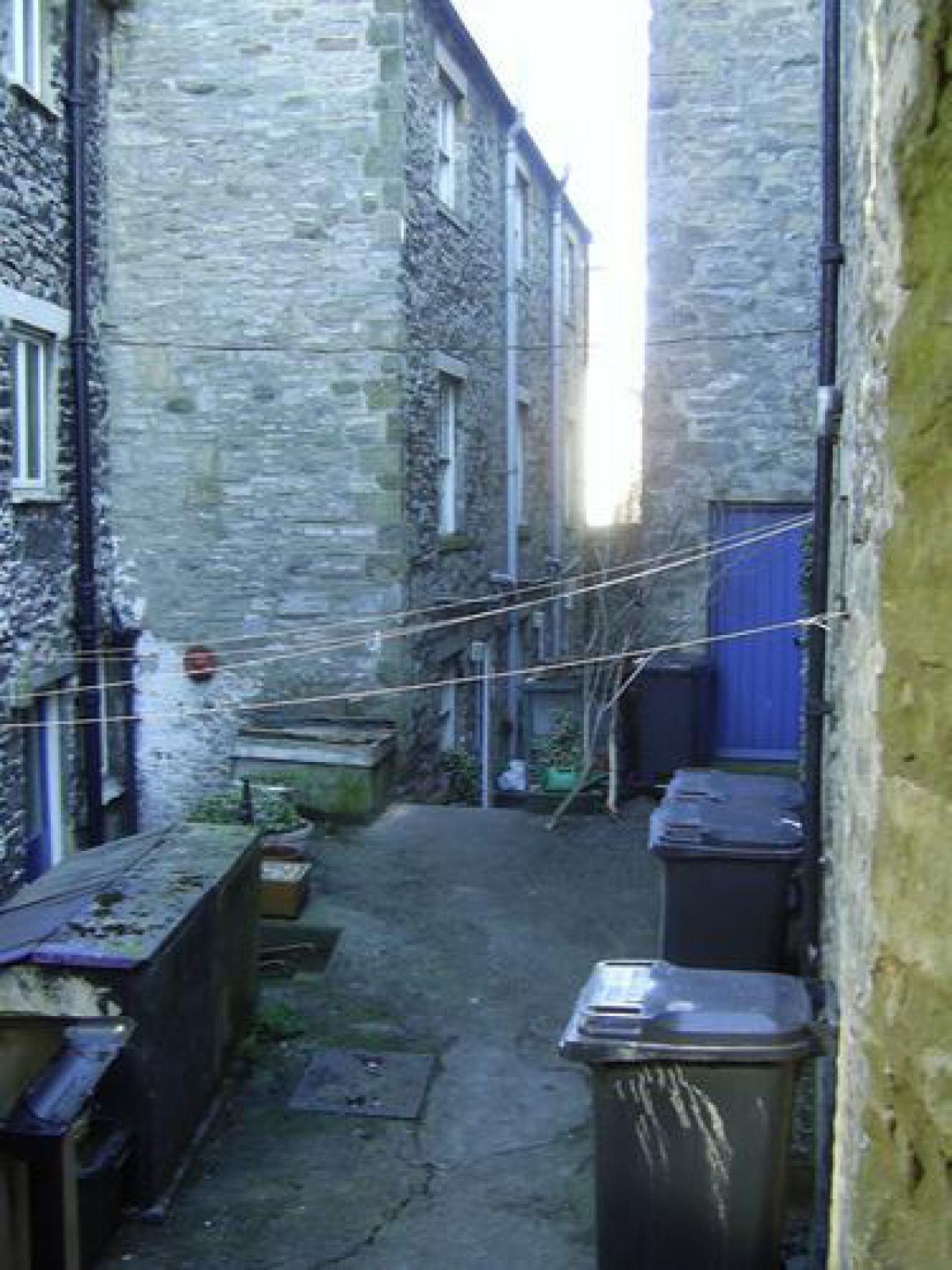
Although much of the countryside in Wensleydale is designated as open access under the Countryside and Rights of Way Act, the individual gardens are all private property. Please do not trespass.To view the allotments, park in the town centre. Face the castle and walk up the left-hand track, Canaan Lane, until you reach a modern bungalow on the left. Just past the bungalow is a hedge with access point, walk along the hedge and you will see 5-6 allotments. These are all that now remain of the original allotments which stretched from where Canaan Lane began next to the Castle front.
- History
Despite people's desire for allotments today, those in Middleham are almost unused. Where once the allotments were densely packed over two hectares, today only six remain used, rent free and the land privately owned. These few are all that remain of Wensleydale's Canaan Allotments, almost unknown and barely documented. The allotments may have had their origin as potato garths. All were created on land belonging to Lord Bolton, and all had large numbers of people without land living close to them such as miners, quarrymen, and railway navigators.
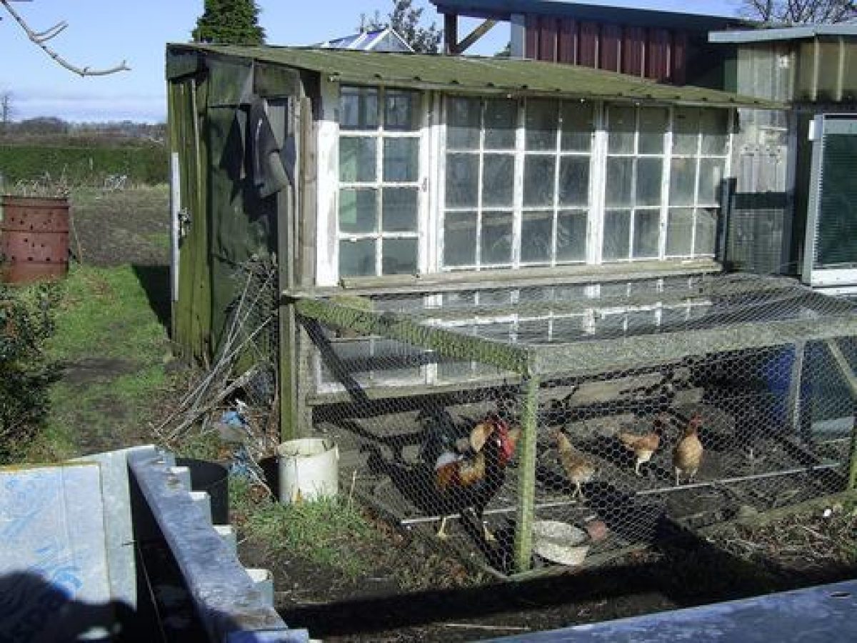
The ‘Dales Plants and Gardens 1900-1960' project conducted interviews with people who remember the allotments in the 1940s and 50s. This information has helped to piece together some of the history of the allotments from around the time of WWII. One interviewee remembers going down to the allotment with her grandad to feed his chickens before and after WWII. Today there are still chickens on one of the allotments. When the allotments were first created and until the 1950s it was common practice to keep chickens, a pig and sometimes a cow on the allotment. During WWII the local school had a double allotment in the far south-east corner. The boys gardened it whilst the girls sewed; they were sometimes allowed to harvest runner beans. All of the allotments were well used until at least 1957 with grass paths between them and some having well-kept hedges. There were three entrances to the allotments, all on Canaan lane. No one the project interviewed is sure why the allotments had the name 'Canaan', however there are many theories, the most obvious having a biblical association. There is a reference in the Old Testament of land allocation either by God or by lot. Non-conformism was strong in the Northern Dales of Yorkshire and people were very aware of biblical references, so it is possible the name was derived from this.
The Dales project has a few more people to interview, including a descendant of Lord Bolton who might all be able to shed some more light on when, for whom, why these allotments were first set-up, and why they were known as 'Canaan'.
While researching the allotments, the Dales project found a number of references to Canaan Allotments and have put together the following timeline:
1733/34-The Dorset History Society holds land records containing the following: "...messauge, close, land in East Field and Canaan in West Field, common of pasture, 1733/4".
1884-"Plan of Estate situate at Middleham for Sale 12 April 1884". The plan shows Back Street on the north, farm buildings, and on the south of these two names: Mr John Tennant and Mr John Hogg.
1884-Contemporary with the bill of sale is a "Plan of the Estate of the Lordship of Middleham with the Manor of Braithwaite in the North Riding of the County of York, 1884". This plan shows the same area as "Lot 17, 113 gardens".
1884-Another plan of the same date, 1884, shows the same area with the figures "113" and area "4.0.20".
1891-'Allotment Gardens', OS map for Preston under Scar
1892- Broderick's Land Survey of 1892 refers to the allotment land in Carperby as "arable, potato plots, landowner Lord Bolton, tenant Nathan Raw and others."
1913-OS map for Middleham that refers to "Canaan (Allotment gardens)" written on the north of the plot where the bungalow now stands.
1913-'Allotments', OS map for Redmire and Castle Bolton
1914-'Canaan (Allotment Gardens)', OS map for Wensley
1914-OS map reference of allotments for West Witton
1921-an aerial photograph was taken from the south-east and made into a postcard. The castle and the above area (lot 113) are shown, the latter covered in allotments.
1925-A bill of sale for The Middleham Estate shows "for sale Lot 10 Allotment Gardens, situate near to the Castle, containing together 7.636 Acres or thereabouts, and let to 50 allotment holders at a total gross annual rent of £27 12s 0d. Tithe Rent Charge 6s 0d. Rates paid by owner". Lot 10 was bought by E.S Tennant.
1930s-West Witton - an oral reference to "going down the Canaans" as a child.
1956-'Canaans' on a sketch plan by Marie Hartley of Carperby.
1957-an aerial photograph shows the allotments from the north-east.
1977- an aerial photograph taken during a summer drought in 1977 shows only grass outlines where the majority of the allotments had once been.
1977-OS map has wording shifted to the south of the bungalow's plot and reduced in size to ".324ha".
1981-'Canaan Allotment Gardens', OS map for Middleham
1981-'Canaan', OS map for Wensley
- Features & Designations
Designations
Conservation Area
Plant Environment
Plant Type
- Key Information
Type
Allotment
Purpose
Agriculture And Subsistence
Plant Environment
Plant Type
Principal Building
Agriculture And Subsistence
Survival
Part: ground/below ground level remains
Hectares
2
Civil Parish
Middleham
- References
References
Contributors
Sally Reckert
John and Sue Tennant
Margaret Boal