Introduction
Bear Park is a landscape park with an ornamental garden. It is associated with a late-17th-century house. Features include a sycamore-lined drive, a walled garden and a grotto.
Location, Area, Boundaries, Landform and Setting
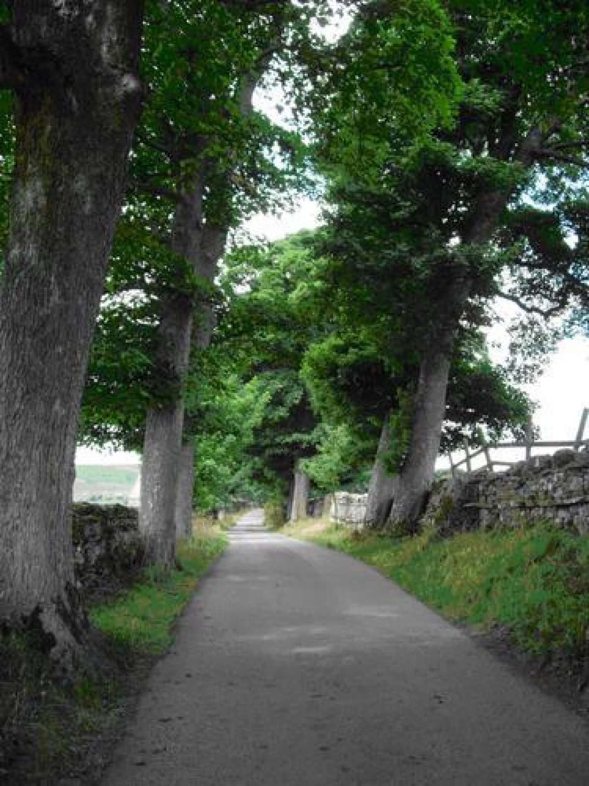
The present main entrance to the house is south from the Carperby-Askrigg road along a drive lined with sycamore trees.
Entrances and Approaches
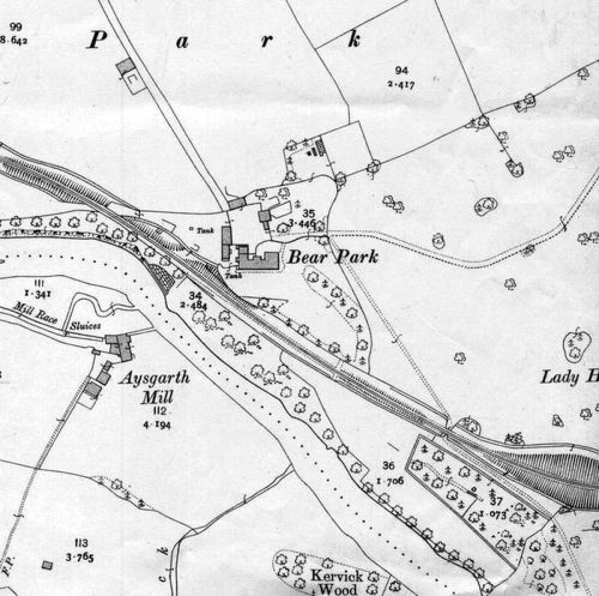
Although the drive is marked on the 1913 25 inch Ordnance Survey map it was not then tree lined and does not appear to be the then main approach route to the house, as two other entrances are shown. One drive ran west from the Carperby-Aysgarth road through the park, planted with clumps of trees, before joining another drive which came from Aysgarth bridge and under the railway line, before approaching the south front of the house.
Principal Building
Bear Park is a landscape park with an ornamental garden. It is associated with a late-17th-century house.
Gardens and Pleasure Grounds
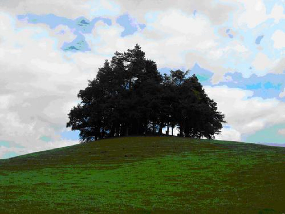
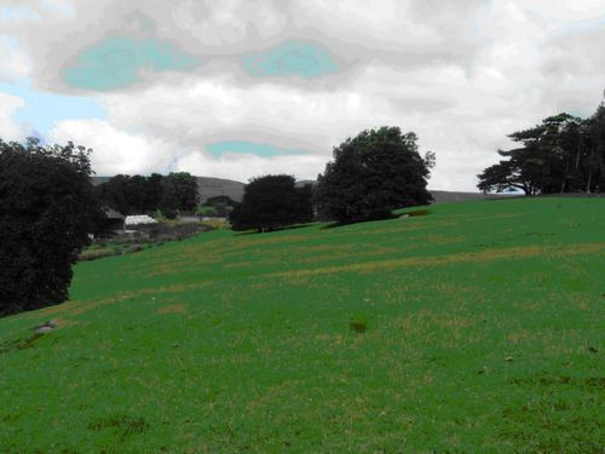
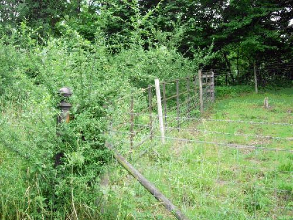
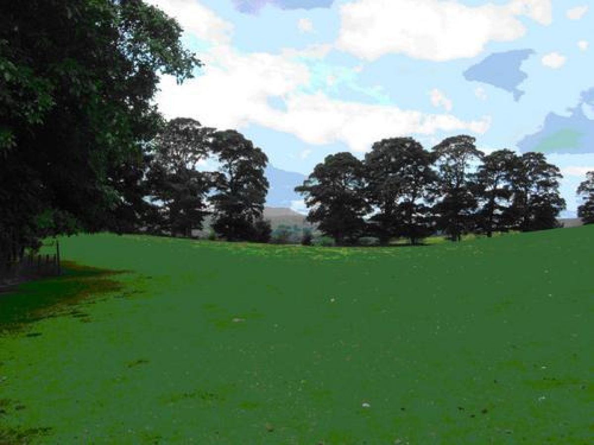
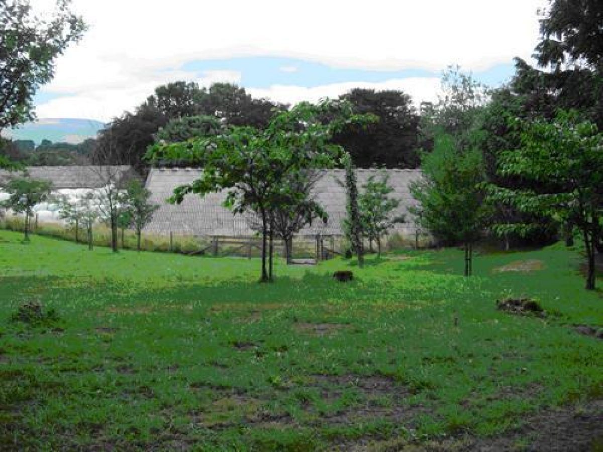
A public footpath from Aysgarth bridge now follows the line of this drive. Traces of the metalling of this drive remain. On either side of this footpath, close to the dis-used railway, are two 19th-century iron posts, possibly the gate posts to the property. The path then goes under the railway, across the park, before swinging around the stepped stone walled garden. The park is planted with clumps of mixed mature trees. Curiously, as shown on the 1913 map, some of the trees, including two cedars, are planted in pairs, but other clumps are quite large.
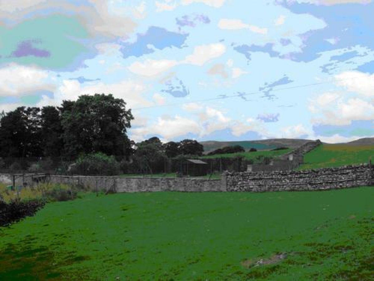
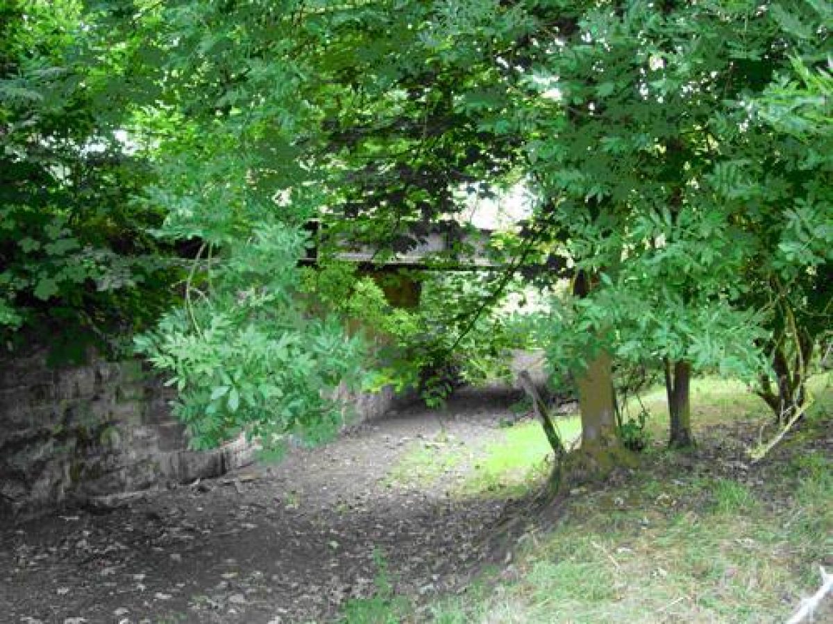
The stone walled garden has now been extended southwards to accommodate a full sized tennis court. The 1913 Ordnance Survey map shows an enclosed area to the west of the walled garden with a greenhouse on its east wall and a further small glass house to the west. There are some mature trees, including a walnut, on the southern border of what may have been a vegetable garden. There is an iron gate, now blocked, leading into the field. The public footpath then crosses the present drive and continues in a westerly direction. It was not possible to see the main part of the gardens, which lie to the south of the house.
The Historic Buildings Sites and Monuments Record notes that approximately eight metres south-west of the house is a mid-19th-century grotto (1834-1866) made of blocks of artificial tufa-like stone.
- Visitor Access, Directions & Contacts
- History
"Bear Park in 1570 consisted of the hall, built of stone and roofed with slate, and various closes bounded by a wall on three sides and by the Ure on the fourth. The stony land on the river bank yielded nothing but thorns. The present hall, which has been much altered, is probably of seventeenth century date. The design is E-shaped with a later porch, and there are some seventeenth century mullioned windows remaining." (VCH Yorkshire North Riding vol I p.205)
In Romantic Richmondshire ( H. Speight, 1897, p443) there is a photograph of the south front of the house showing the rockery, or alpine garden, and the grotto. Speight notes (p.444) that "since he (Thomas Bradley, Esq.) purchased the estate some years ago many alterations and improvements have been effected in and about the house and grounds. The latter contains an admirable Alpine garden, abounding in choice botanical rarities and the whole place is full of beauty and interest." Speight further comments that the name Bear Park was possibly a corruption of Beau Repaire and that the house, originally a possession of Marrick Priory, was granted by lease to Humphrey Metcalfe by the then prioress, Cecyle Metcalfe. Edmund Bogg in Beautiful Wensleydale also illustrates Bear Park and writes "The house stands in a very garden of delight, its emerald lawns ringed by a very choice variety of trees and very many rare alpine plants in the rock borders."
- Features & Designations
Designations
The National Heritage List for England: Listed Building
- Reference: 15/89
- Grade: II*
Features
- Entrance
- Description: The present main entrance to the house is south from the Carperby-Askrigg road along a drive lined with sycamore trees.
- Drive
- Description: A public footpath from Aysgarth bridge now follows the line of a previous drive. Traces of the metalling of this drive remain.
- Gateway
- Description: On either side of a footpath are two 19th-century iron posts, possibly the gate posts to the property.
- Earliest Date:
- Latest Date:
- Clump
- Description: The park is planted with clumps of mixed mature trees.
- Kitchen Garden
- Description: The stone walled garden has now been extended southwards to accommodate a full sized tennis court.
- Grotto
- Description: Approximately eight metres south-west of the house is a mid-19th-century grotto made of blocks of artifical tufa-like stone.
- Earliest Date:
- Latest Date:
- Hall (featured building)
- Description: The present hall probably dates from the 17th century. It replaced an earlier structure.
- Earliest Date:
- Latest Date:
- Tree Feature
- Description: There are some mature trees, including a walnut, on the southern border of what may have been a vegetable garden.
- Key Information
Type
Park
Purpose
Ornamental
Survival
Part: standing remains
Hectares
50
Civil Parish
Carperby-cum-Thor
- References
References
- Page, W {Victoria County History: York, North Riding, Volume 1} (Constable, 1914) 205 Victoria County History: York, North Riding, Volume 1
- Speight, H {Romantic Richmondshire. Being a complete account of the history, antiquities and scenery of the picturesque valleys of the Swale and Yore ... Illustrated. L.P} (London: Elliott Stock, 1897) 443-4 Romantic Richmondshire. Being a complete account of the history, antiquities and scenery of the picturesque valleys of the Swale and Yore ... Illustrated. L.P
Contributors
Moira Fulton
Yorkshire Gardens Trust