Introduction
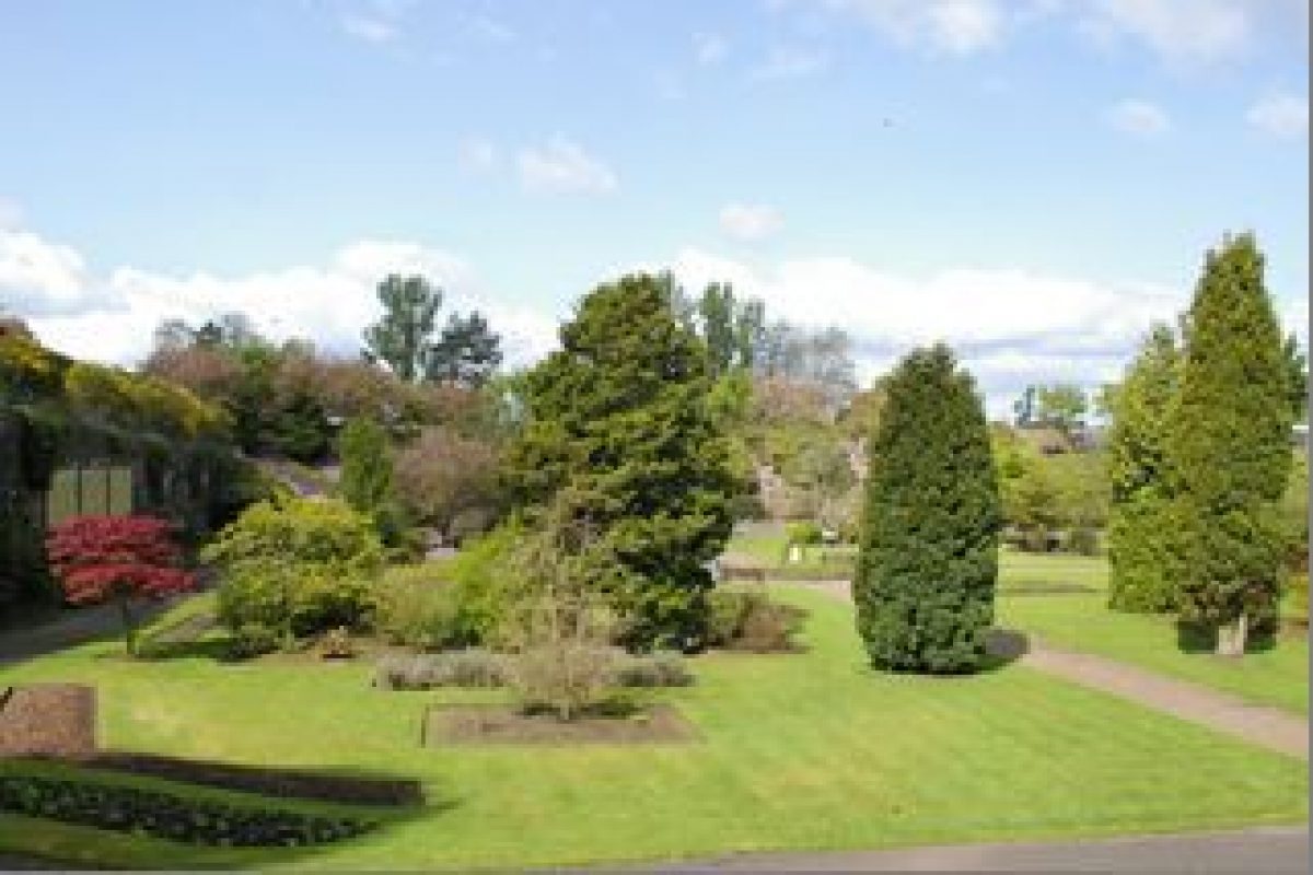
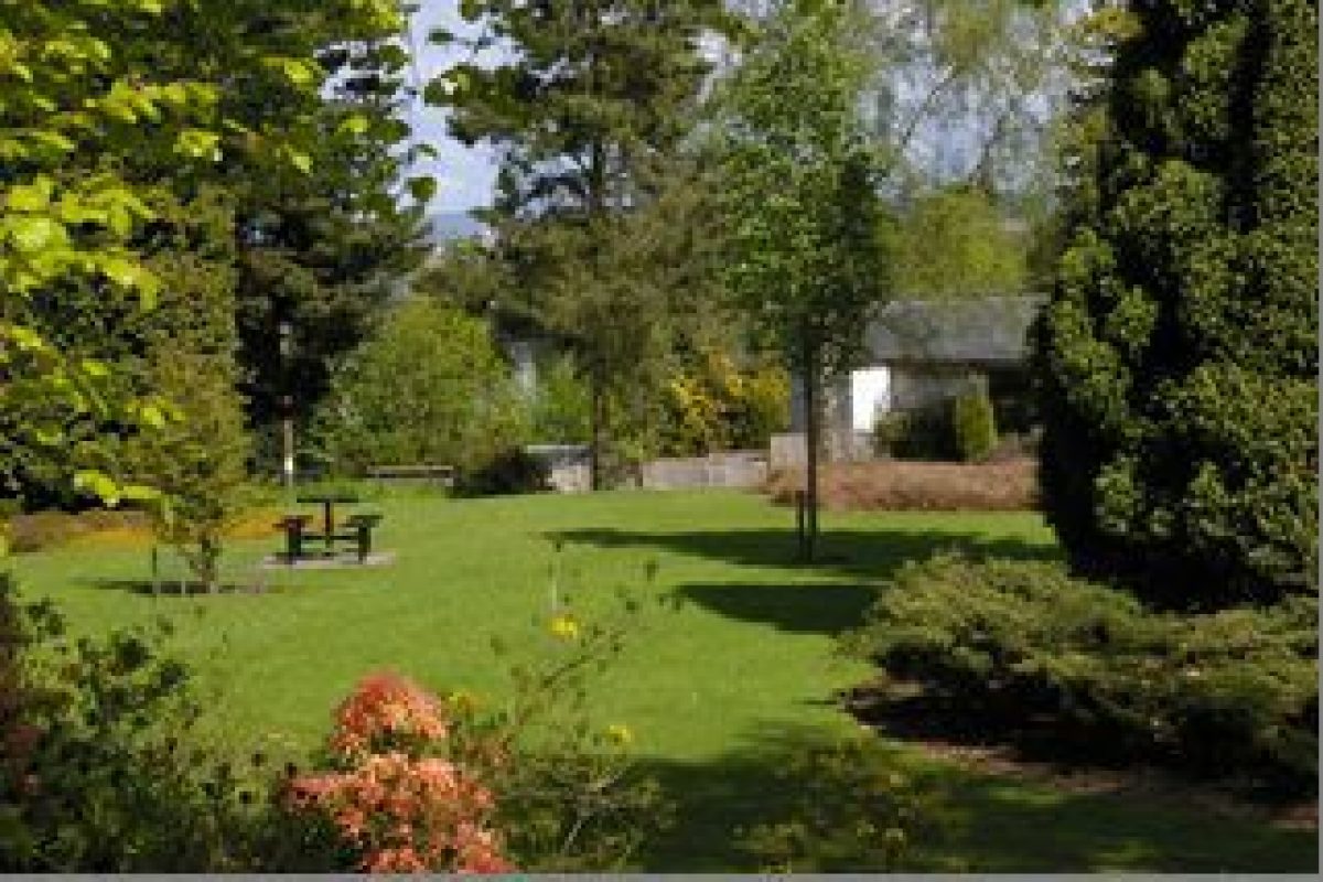
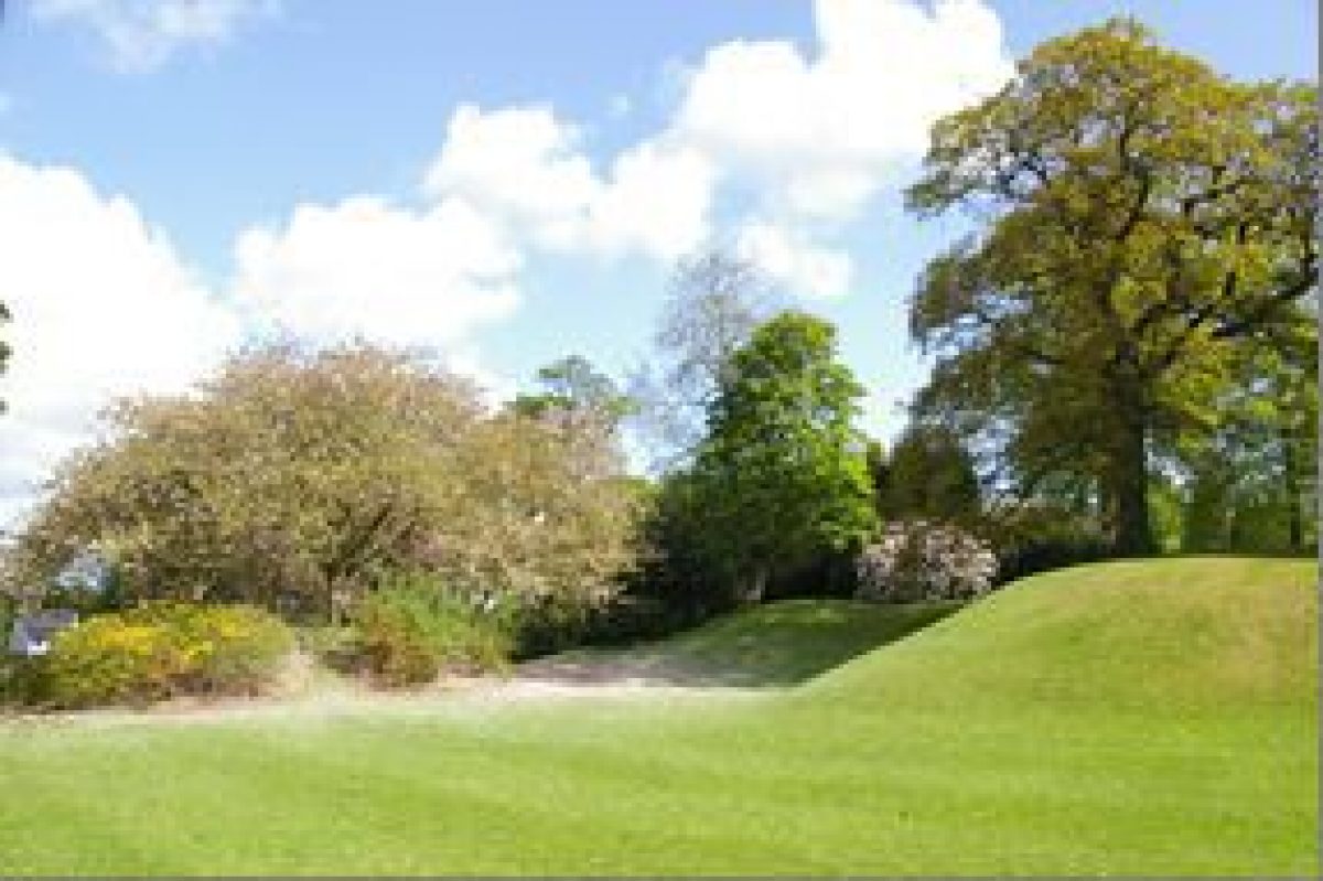
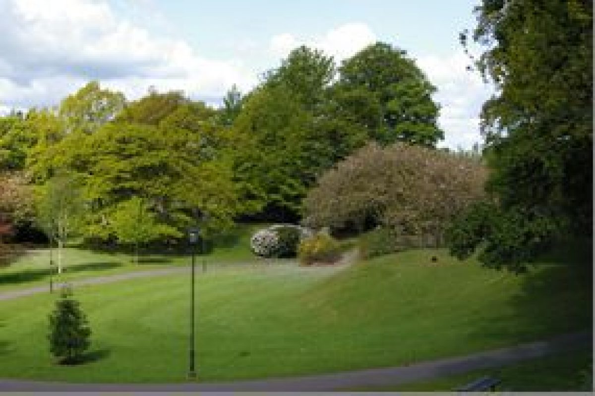
Castkedykes Park lies between the Glencaple and Kingholm Roads, 1.5 km due south of the centre of Dumfries. An area of approximately 5 hectares includes traces of a medieval castle, significant tree plantings from both 19th and 20th centuries and a number of plaques etc. commemorating people and events, especially the medieval history.
Further details about Castledykes Park are available on the Royal Commission on the Ancient and Historic Monuments of Scotland website:
http://canmore.rcahms.gov.uk/en/site/338466/details/castledykes+park/
http://orapweb.rcahms.gov.uk/wp/00/WP002964.pdf
REFERENCES
1. MAPPED SOURCES
Unless otherwise stated all maps referenced are from the online National Library of Scotland Map Collection
http://maps.nls.uk
Blaeu, Joan 1654 Nithia Vicecomitatus, The Shirifdome of Nidis-dail
Crawford, William 1804 Map of Dumfriesshire (south-west sheet)
Wood, John 1819 Plan of the Towns of Dumfries & Maxwelltown
Thomson, John 1828 Dumfriesshire (south-west sheet)
Ordnance Survey Large Scale Town Plan Scale: 1:1,056 Dumfries Sheet 007 Surveyed 1850, Published 1852
Ordnance Survey Second Edition & Later Editions 25 Inches to One Mile Dumfries-shire Sheet 055.03 Revised circa 1929 Published 1931
Ordnance Survey Second Edition & Later Editions 25 Inches to One Mile Dumfries-shire Published 1962 (Reproduced by kind permission of Dumfries & Galloway Council)
Dumfries and Galloway Council Historic Environment Record: Dumfries & Galloway Council
2. PRIMARY & DOCUMENTARY SOURCES
Valuation Rolls 1827, 1862-1902. Ewart Library
3. HISTORICAL ILLUSTRATIONS & PICTORIAL SOURCES
Architectural drawings of an urn "castledykes dial" and a window embrasure - possible features of the house built by Ebenezer Stott in the 1820s or only of Walter Newall's plans for this.
Similarly a plan of a service block.
Undated postcard of the rear elevation of the villa from the Nith
(Ewart Library)
4. BIBLIOGRAPHY OF PUBLISHED SOURCES
Barbour, John The Bruce (circa 1375)
Bower, Walter Scotichronicon (circa 1440)
Wardrobe Accounts of 28th year of Edward I (of England)
McDiarmid, John Descriptions of Dumfries and its Environs (1832)
Loudon, J C Gardening Tours (1831-42)
McDowall, William History of Dumfries (edited 1986)
McDowall, William Memorials of St Michael's (1976)
Transactions of Dumfriesshire and Galloway Natural History and Antiquarian Society (1903-05, 1912, 1936-38, 1954-55, 1966-67, 1988)
RCAHMS Dumfriesshire reports (1914, 1944-51, 1953-54)
Dumfries & Galloway newspaper
Fairn, Anne Castledykes Park Dumfries (2010) NADFAS
- Visitor Access, Directions & Contacts
Directions
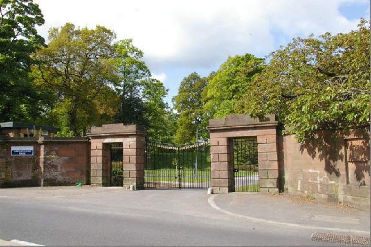
Off the B725, Glencaple Road, approximately 1.5 kms south of Dumfries town centre
Owners
Dumfries & Galloway Council
Council Offices, English Street, Dumfries, DG1 2DD
- History
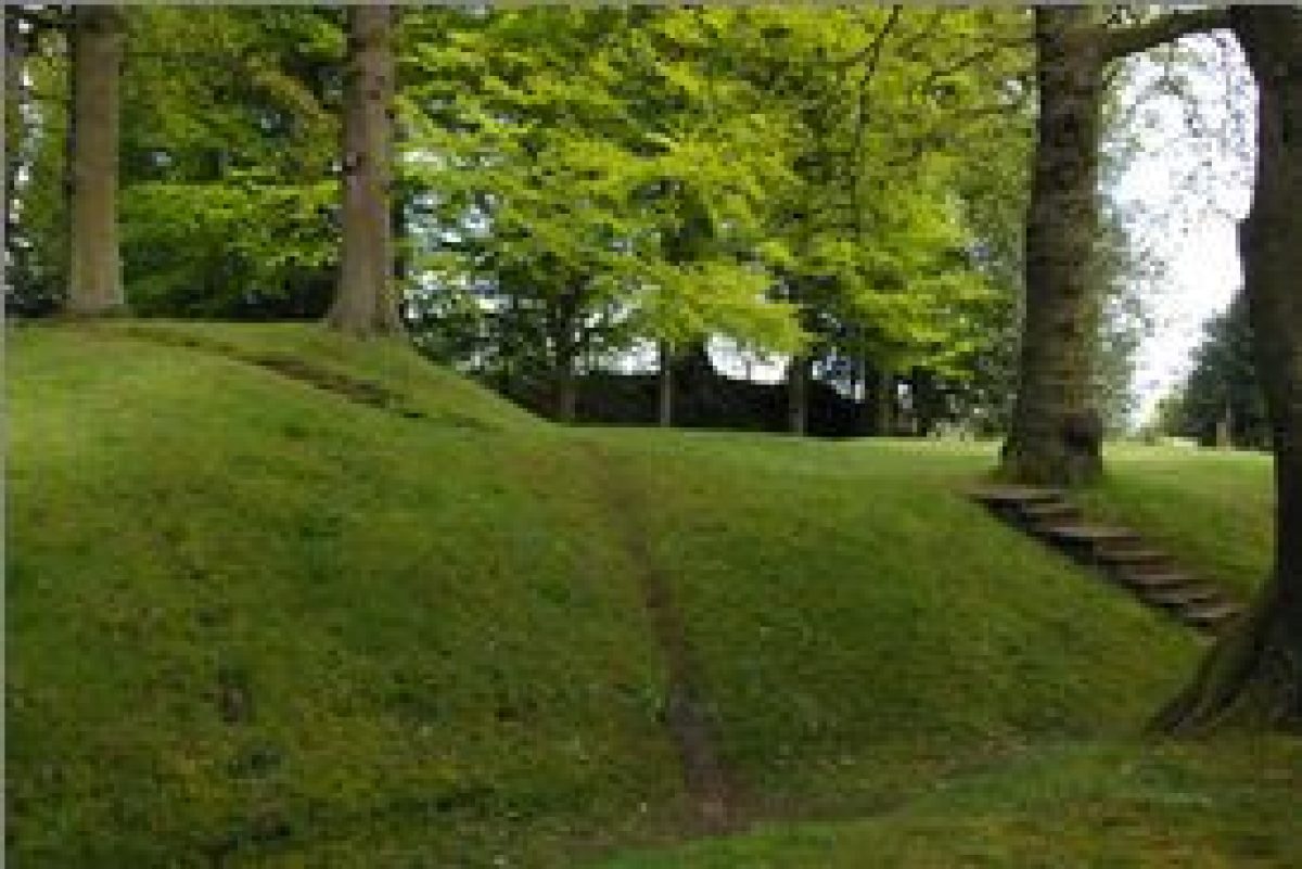
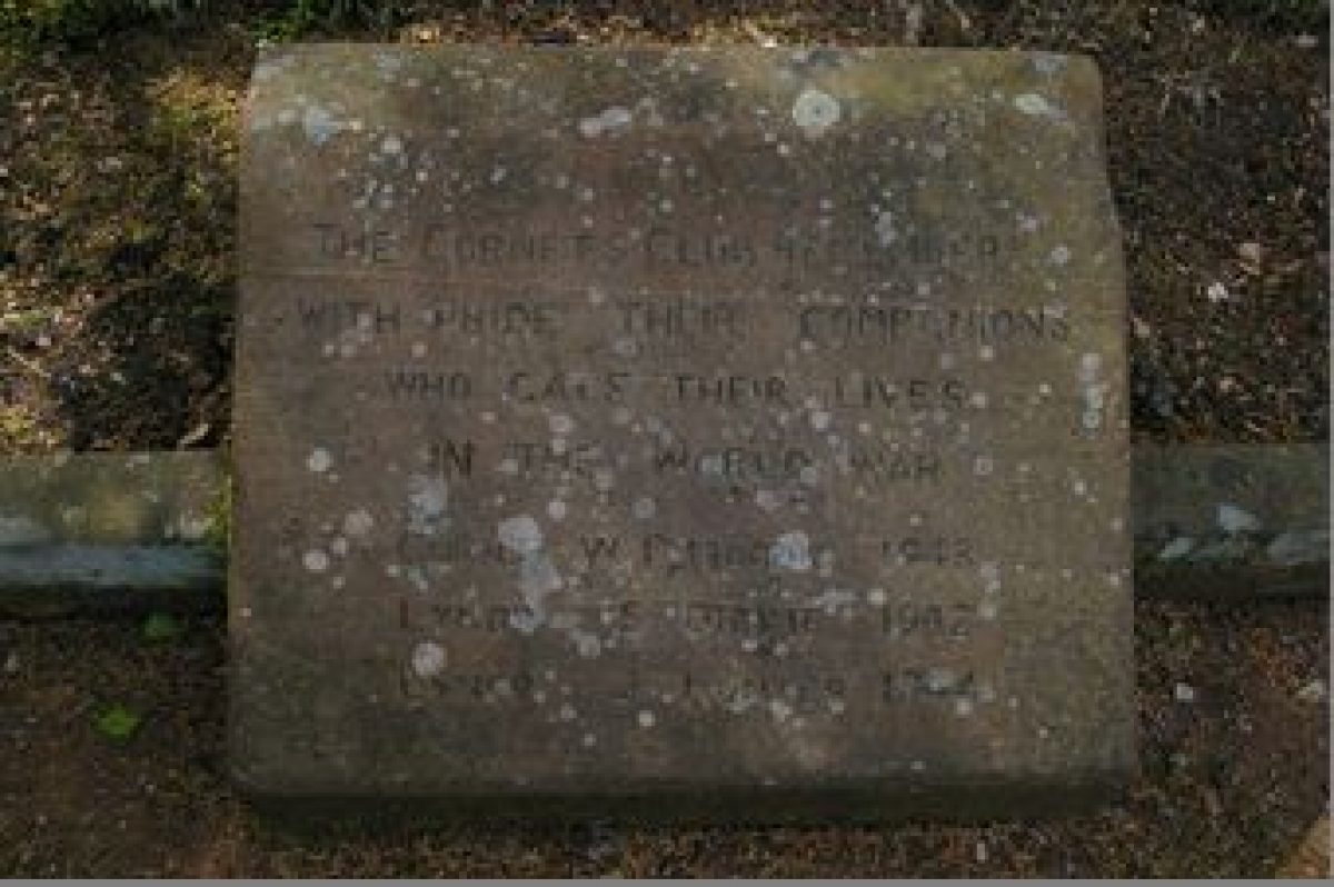
The discovery of an axe dated to the Bronze Age, now in Dumfries Museum, indicates there has been human activity on the site for at least 3000 years. An early (11th century?) Norman motte and bailey castle was constructed near what is now the Kingholm Road gate of Castledykes Park. A second castle was built near the Glencaple Road main gate, possibly after William the Lionheart granted a charter to Dumfries in 1186. In 1286 the castle was seized by Robert the Competitor on the death of Alexander III and in 1300 Edward I of England rebuilt the castle after winning the Battle of Falkirk (1298). In 1306 the castle was seized by Robert the Bruce after the murder of the Red Comyn in Dumfries (on Guid Nychburries day annually, the Cornet raises the Royal Scottish Standard to commemorate the events of 10 February 1306 when Robert the Bruce occupied Castledykes). The castle was demolished after 1313.
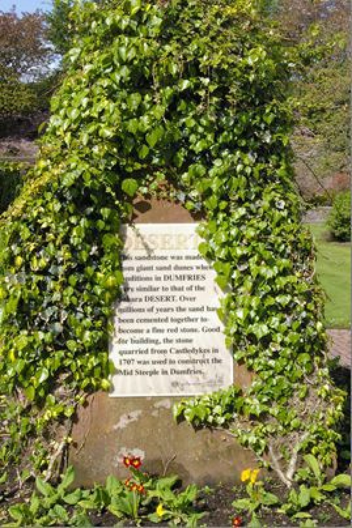
Between 1350 and 1700 The Burgh of Dumfries evidently acquired the northern part of the area known as Castledykes, including the quarry known as the ‘Town Quarry'. The land was probably grazing.
By 1738 James Moorhead, a merchant in Dumfries, was tenant and presumably had a house there as his will refers to two gardeners.
William Thomson, writer in Dumfries, began acquiring Castledykes plots and in 1810 referred to his ‘little house and cottage' there. In 1817 he advertised the lease of ‘the desirable residence of Castledykes' with ‘an orchard with fruit trees in full bearing', ‘a neat shrubbery' and ‘a variety of different kinds of valuable shrubs & flowers'.
1821 Ebenezer Stott bought Castledykes estate, after success in the American cotton trade, with his wife Elizabeth, a keen gardener from Philadelphia. They built a new house, probably an Italianate villa style designed by Walter Newall. They also paid Dumfries Burgh the enormous sum of 100 guineas for Kingholm topsoil. Following the death of her husband in 1828 Mrs Stott inherited, but advertised the property for sale in 1829. The sale advertisement mentions a sunken garden with fruit trees and bushes, fountains, peach house, vinery, hot house and cistern, mushroom house, forcing pit, and also on higher ground, a large greenhouse. Fruit grown included grapes, nectarines, peaches, apricots, pomegranites, figs etc. The property was purchased in 1830 by Ebenezer Stott's nephew, Gibson Stott who sold it again in the same year to John McAdam, a cotton merchant. John McAdam owned the property until his death in 1836. References to the gardens over this period include:
‘timber, springs, rills, shady walks, vinery, conservatory, cool water falling over rocks to a pool' McDiarmid, John Dumfries and its Environs (1842).
‘rare shrubs and trees not common in this part of Scotland, kitchen garden in quarry on imported soil, terrace walk looking into this and pleasure ground but steep banks difficult to mow' Loundon, J C (1831-42).
In 1837 the property was bought by Sir Simon Howard, late of the East India Company but sold almost immediately to John Alexander Pringle. Alexander Pringle became the owner as heir by conquest in 1839.
Between 1851 and 1855 Castledykes was under the ownership of Sir Thomas Buchan Hepburn but the property was occupied by his son John Beuchan Hepburn who inherited it in 1855. In 1850 Sir Thomas hosted the annual meeting of the Dumfries and Galloway Horticultural Society and in 1851 Robert Burnett is recorded as the gardener.
Robert Scott, a jute manufacturer whose son owned Nithsdale Tweed Mills purchased the property in 1857. He died in 1871 and Castledykes was purchased by Dr James Bruce who tried to blow up old tree roots with gunpowder. In 1871 Mr Peacock is recorded as the head gardener.
In 1887 High McGregor, a confectionary manufacturer, whose son was a nurseryman, became the owner but in 1891 leased the property to James Carmount, an Agent of the British Linen Company Bank in Dumfries. He was very active in local life and known to be a keen gardener. He stayed until his death in 1922.
The Burgh of Dumfries bought back Castledykes in 1901 and constructed sewage purification works in the quarry which were in operation by 1903. In 1952 the Parks sub-committee accepted administration of the estate on condition that the mansion house was demolished.
- Key Information
Type
Park
Purpose
Recreational/sport
Principal Building
Parks, Gardens And Urban Spaces
Survival
Extant
Hectares
4.65
Open to the public
Yes
Electoral Ward
Caerlaverock
- References
Contributors
Anne Fairn and Dumfries & Galloway Designed Landscapes & Gardens Survey Group, under the auspices of the Garden History Society in Scotland