Introduction
This is a late-18th-century laird's house within a small designed landscape situated west-south-west of Inverkeilor to the south of the Lunan Water.
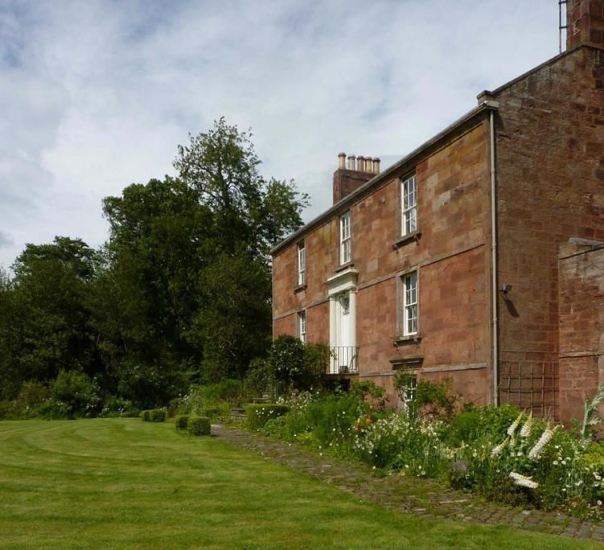
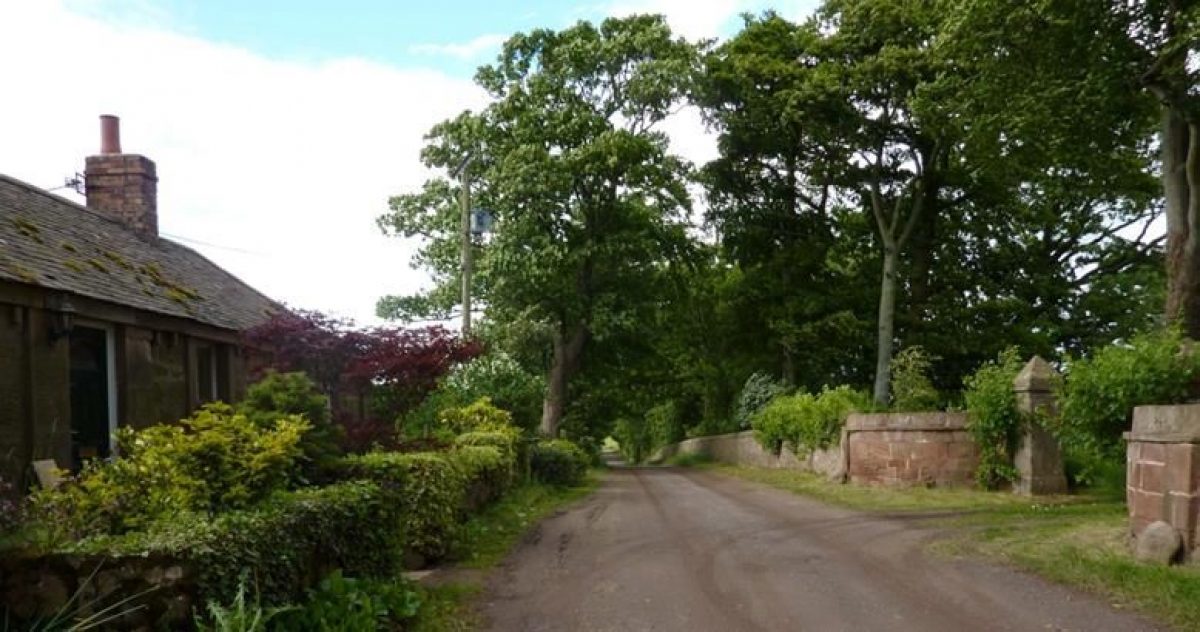
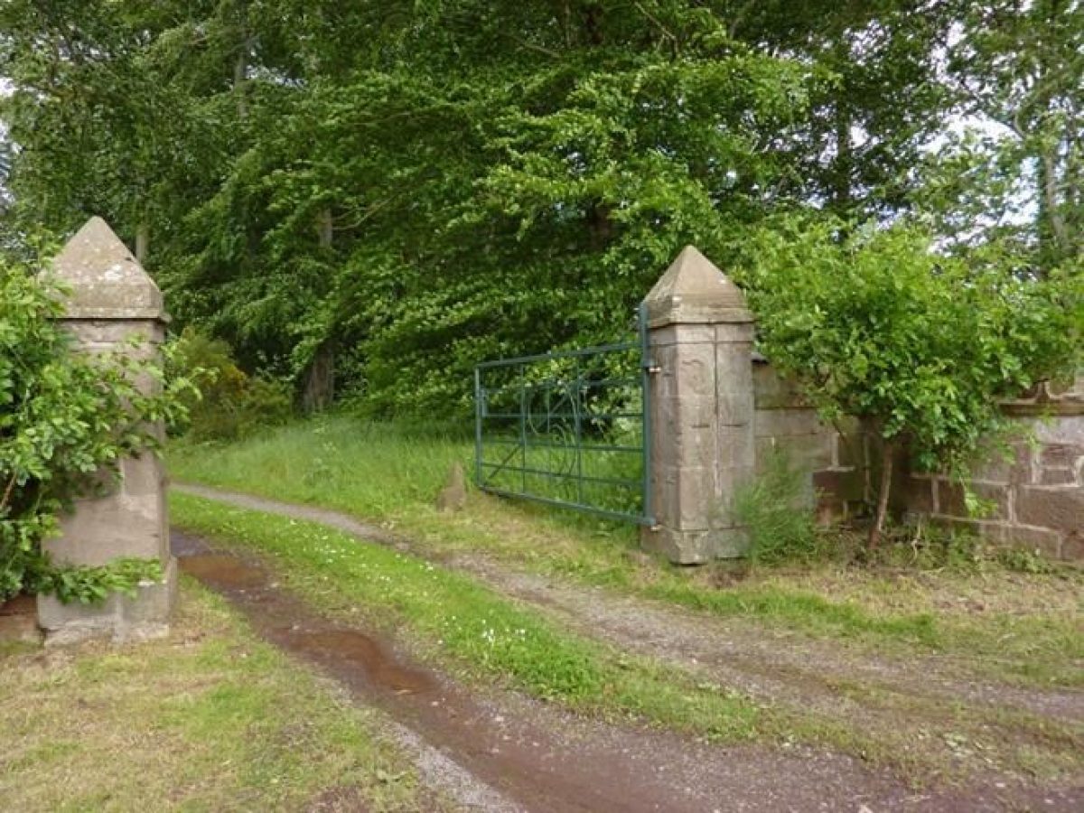
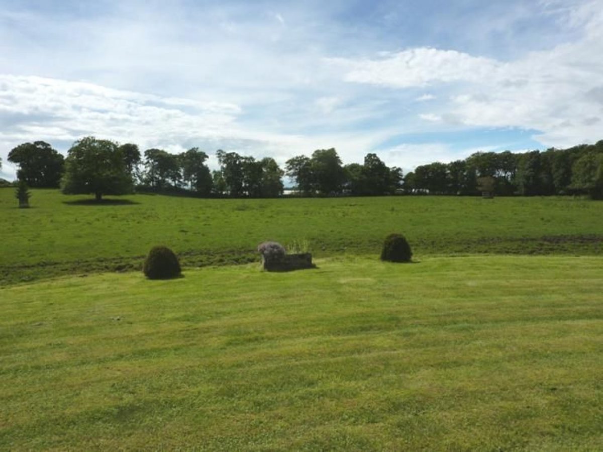
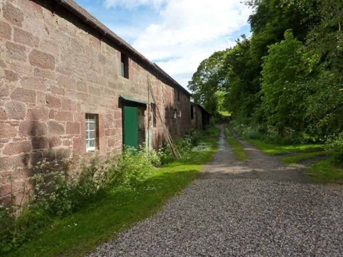
Lawton House is a late-18th-century laird's house within a small designed landscape situated west-south-west of Inverkeilor and to the south of the Lunan Water. An earlier house on the same site was noted by John Ochterlony in his Account of the Shire of Forfar in around 1682. A steading and cottage of a similar date to the house lie some 200 metres from it to the south-east. A rare 17th-century henhouse is to be found adjacent to the steading. The lodge on the lane leading off the road into the village of Inverkeilor faces the gateway into the property which is reached by a gently curving, tree-lined drive. The house looks out to the west across a recently restored ha-ha and a seven acre park with small clumps of trees which is now grazed.
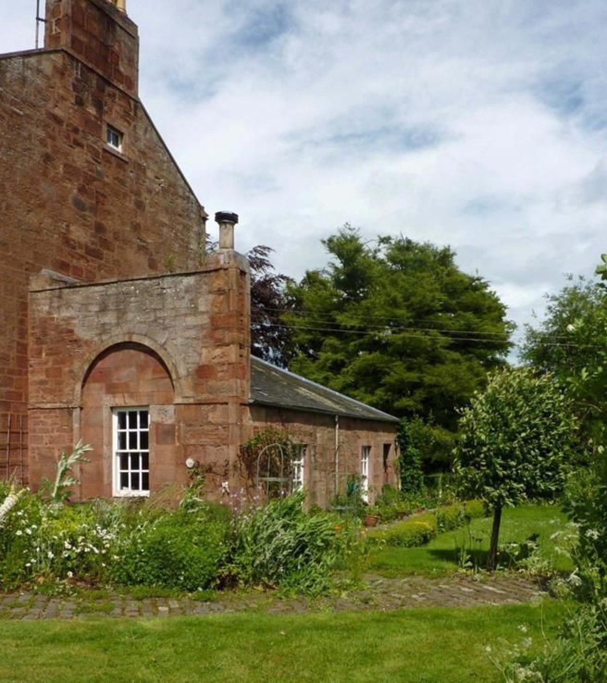
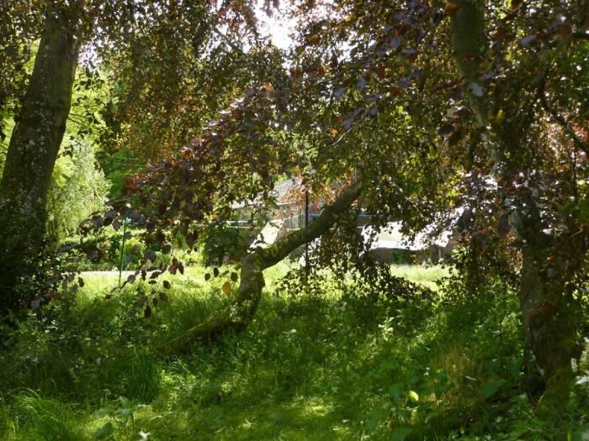
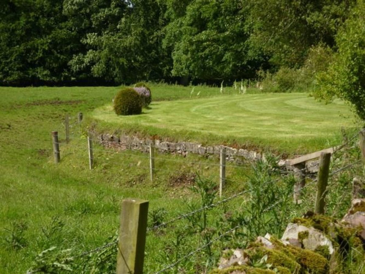
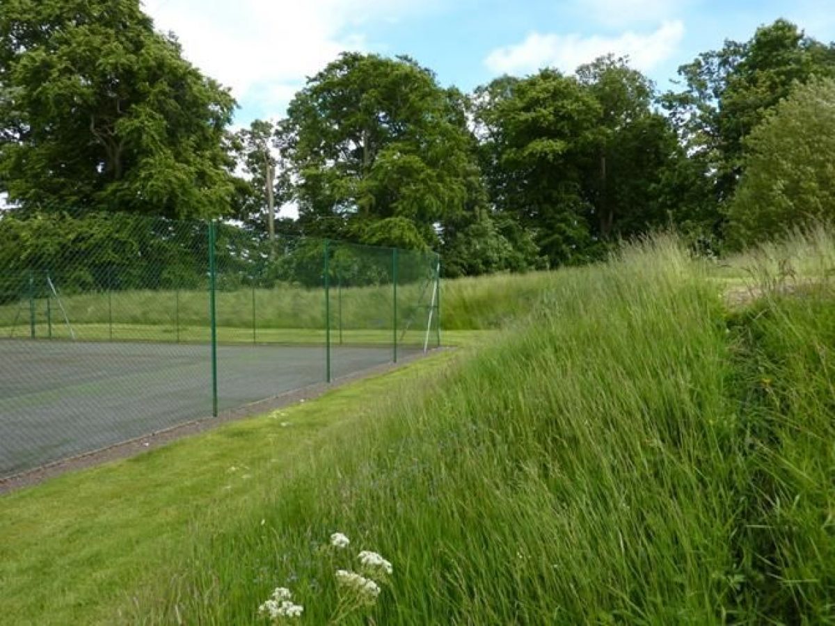
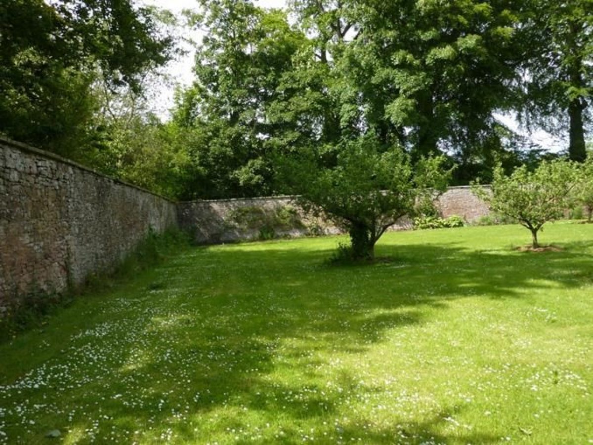
To the north of the house there is a half-acre walled garden with an unusual covered area built into the north wall for the overwintering of bee skeps. There is a flat grassed area at the back of the house which might well have been the site of the productive yards of the earlier house prior to the building of a walled garden further away from the house in the 18th century. On the fringes of this grassed area there are a number of specimen trees including a fern leaf beech and a layered copper beech, close to the steading. Beyond the trees there is now a Jenks-like curved wall constructed from the soil excavated to provide a tennis court. The area in between the house and the walled garden contains some old trees, but also many more recent self-setters. The whole area including the park, drive, and northern and eastern boundaries is surrounded by a hardwood shelterbelt.
Further details about Lawton House are available on the Royal Commission on the Ancient and Historic Monuments of Scotland website: http://canmore.rcahms.gov.uk/en/site/320925/details/lawton+house/
REFERENCES
1. MAPPED SOURCES
Unless otherwise stated all maps referenced are from the online National Library of Scotland Map Collection http://maps.nls.uk
1678 Robert Edward, Provincea Scotiae sive The Shire of Angus. Shown as Lawton. Incorrectly shown on the north side of the Lunan Water.
1745 Herman Moll, The Shire of Angus. Shown as Laton. Incorrectly shown on the north side of the Lunan Water.
1794 John Ainsley, Map of the County of Forfar or Shire of Angus, South-East section
1825 John Thompson’s Atlas of Scotland, Northern Part of Angus Shire. Southern Part. Bottom Section.
1850 John Knox, Map of the Basin of the Tay, including the greater part of Perth Shire, Strathmore and the Braes of Angus or Forfar.
Ordnance Survey First Edition Six inch to One mile Forfarshire Sheet XL Surveyed 1859 – 1861, Published 1865.
Ordnance Survey First Edition 25 inch to One mile Forfarshire Sheet XL.11 Surveyed 1859, Published 1865.
Ordnance Survey First Edition One inch to One mile Sheet 57 Forfar Surveyed 1858 to 1863, Published 1868.
Ordnance Survey One inch to One mile Second Edition Sheet 57 Forfar Surveyed 1894, Published 1897.
Ordnance Survey 25 inch to One mile Second and later editions Forfarshire Sheet 040.11
Revised circa1921, Levelled 1921, Published 1924.
Ordnance Survey Six inch to One mile Second and Later Editions. Forfarshire Sheet XL.SE.
Revised 1922 Published 1926.
Ordnance Survey 1:25,000. NO64 & Parts of NO63 & NO74 Published 1957.
Bing Maps on British Listed Buildings Website 2012.
2. PRIMARY & DOCUMENTARY SOURCES
National Records of Scotland (formerly National Archives of Scotland)
1824, RHP141902. Outline plan of plantations at Lawton and adjoining ground by Henry Cox.
1839, 25th March, RHP141906. Plan of Lawton mill and Millfield mill. Plan showing the situation of Lawton and Millfield mills by James Corsair, land surveyor, Woodside by Arbroath
3. HISTORICAL ILLUSTRATIONS & PICTORIAL SOURCES
Royal Commission for Ancient and Historical Monuments Scotland
3/8/2001 E11265 RCAHMS Oblique aerial view centered on the cropmarks of the enclosed settlement, pits and rig with the country house adjacent, taken from the West South West.
3/8/2001 E11266 RCAHMS Oblique aerial view centered on the cropmarks of the enclosed settlement, pits and rig with the country house adjacent taken from the North North East.
3/8/2001 E11267 RCAHMS Oblique aerial view centred on the cropmarks of the enclosed settlement pits and rig with the country house adjacent taken from the East.
These aerial photographs may be viewed at RCAHMS by prior arrangement.
4. BIBLIOGRAPHY OF PUBLISHED SOURCES
1682 Ochterlony, J Account of the Shire of Forfar Forfar and District Historical Society reprint (1969) 32
1882 Warden, A Angus or Forfarshire Vol III 455-457
1989 Lawton House, Savills Sale Particulars held at RCAHMS D.13.13.LAW(s)
2012 Gifford, J The Buildings of Scotland: Dundee and Angus 540
- Visitor Access, Directions & Contacts
Telephone
0131 668 8600Directions
Located approximately 3 kms west-south-west of Inverkeilor.
- History
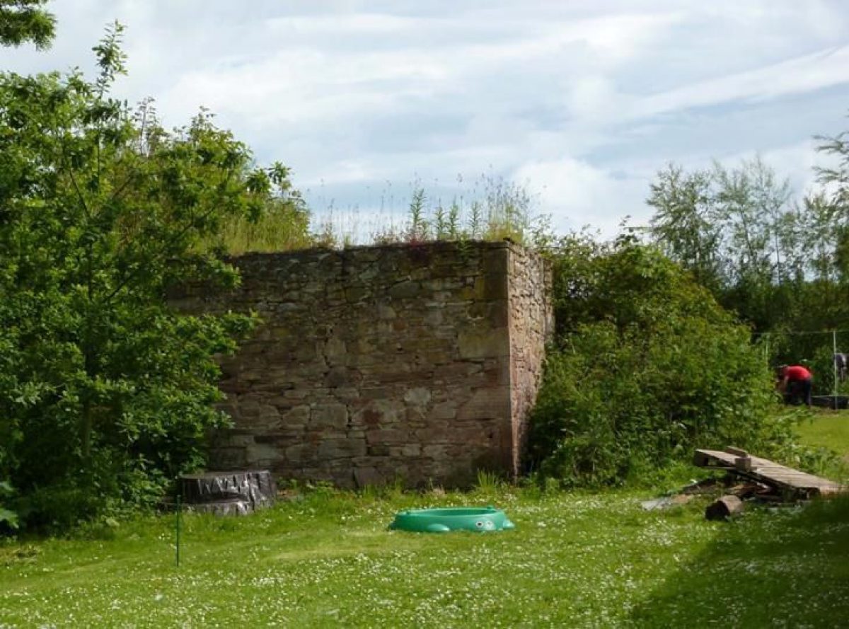
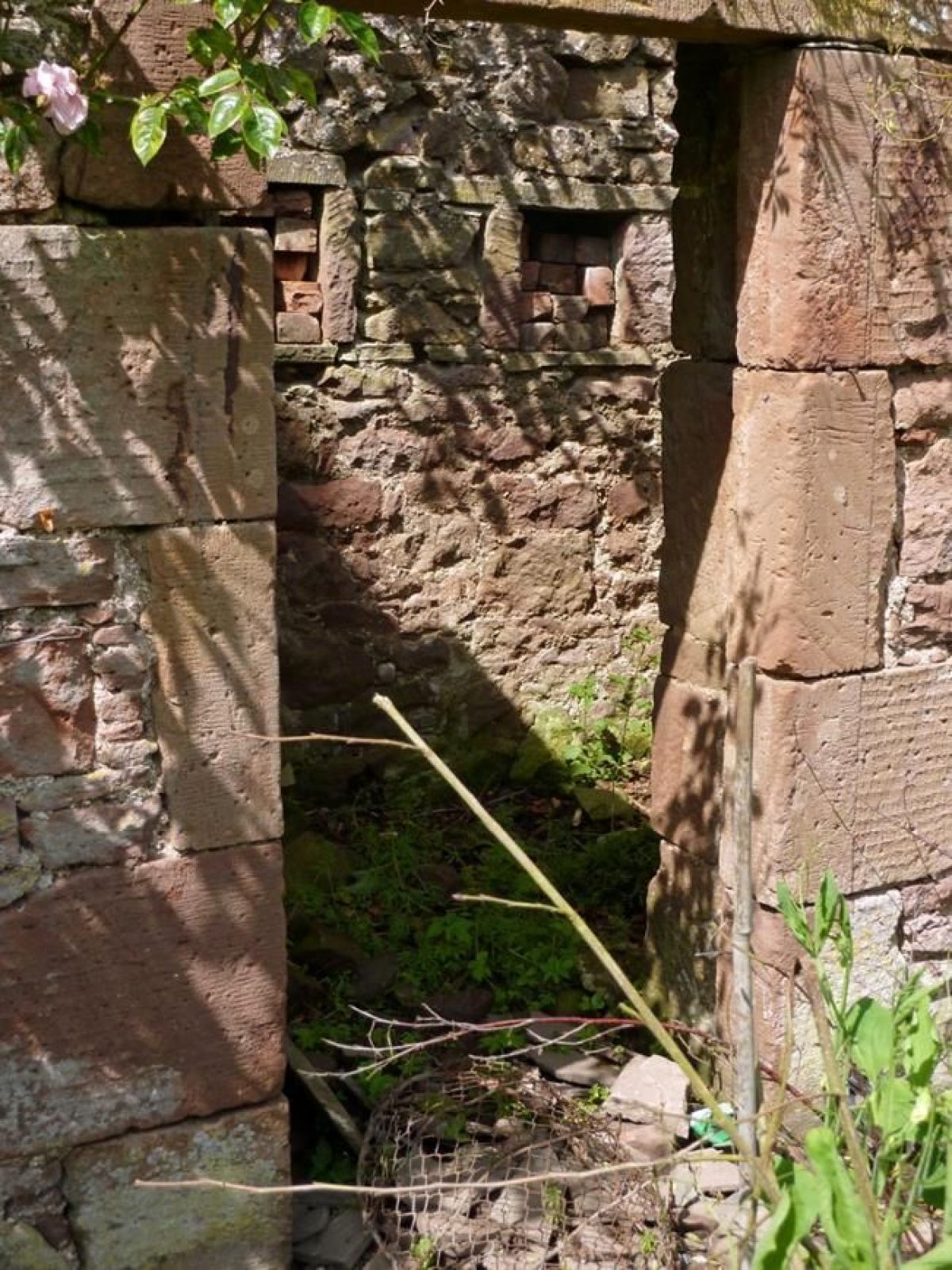
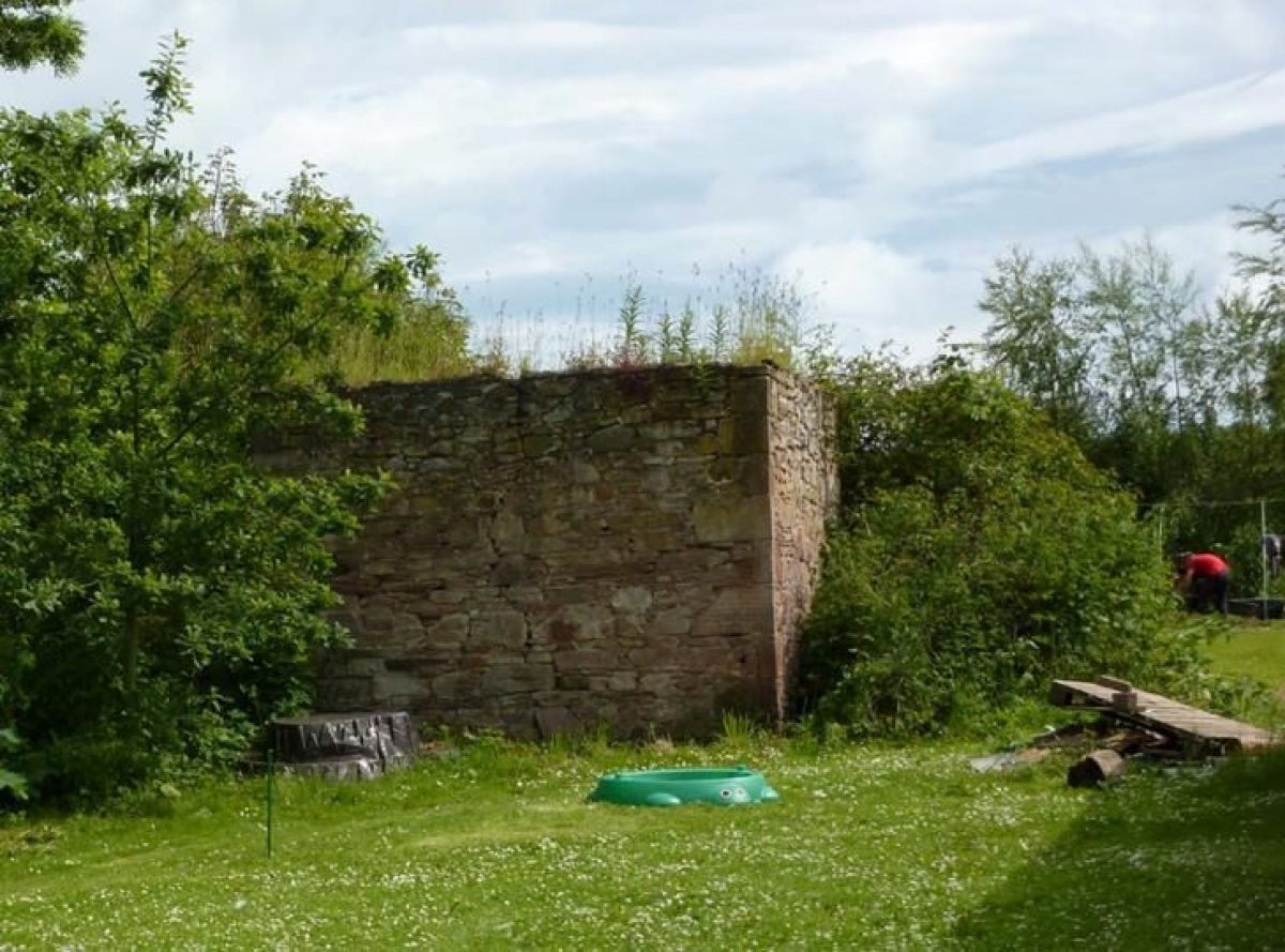
- The earliest record of a house on the site is on Robert Edward’s map of 1678, albeit shown incorrectly as on the north of the Lunan Water and going by the name of Laton. In around 1682 John Ochterlony noted a house called Lawtoune in the parish of Innerkeilor belonging to “Gairdyne of that Ilk, a very ancient famille, and chief of his name.” The hencote, a rare survival, and the steading are also considered by Historic Scotland to date from the 17th century. The status of the owner as a laird would suggest that there would have been yards for the cultivation of fruit, vegetables and, possibly, for medicinal herbs. However, there is no record to support that proposition. Ochterlony makes no mention of them, although he does in the case of some but by no means all of the one hundred or so lairds’ houses that he includes in his survey of the county. All that said, if the present house was built on the footprint of the old house, there are unnaturally flat grassed areas to the south and east of the house which could have been the location of the yards. It is unlikely that there was a formal garden at this stage since Ochterlony records only five gardens in Angus at the time, those at Careston, Edzell, Glamis, Kinnaird and Panmure.The present house and walled garden were built in the mid-18th century and provide an excellent example of a compact, classical, self-sustaining laird’s house of the period in which functionality and aesthetics were combined. It is likely that the division of the estate in around 1755 was the reason for the construction of the house and that the steading buildings were also improved at that time.The house was approached in the 18th century, as now, by a drive leading down from a lane off the public road. Originally it culminated in a carriage sweep, enabling visitors and family to alight from their coach at the steps up to the front door before coach and horses were driven round to the stables and coach house within the steading buildings.The earliest indication of a garden and designed landscape on the site is on the planting plan of 1820. By 1865 the Ordnance Survey 25 inch and 6 inch maps show clearly a walled garden to the north-east of the house, split regularly into four with a perimeter path and two axial paths. The park to the front of the house and the grassed area to the rear contain pairs and small groups of trees whilst the entire policies are surrounded with a shelterbelt. With the exception of the walled garden which was no longer in four sections by 1925, the planting remains much the same until the present, with some loss of park trees and some thinning of the shelterbelt.Of particular note in the walled garden is a stone lean-to ‘shed’ which appears to have been an over-wintering place for bee skeps, unlike the more common bee boles set within the perimeter walls of many walled gardens from the Renaissance onwards.It seems likely from the present layout that the setting of the mid-18th-century house was informal with a small park to the front, marked off from the carriage sweep by a recently strengthened ha-ha. There is evidence of specimen plantings to the rear, and the yards, if they existed, were replaced by the walled garden as the productive area, now used for both productive and ornamental purposes.The age of a Yew tree adjacent to the walled garden on the south-east corner suggests that selective planting took place in the second half of the 18th century. It is also clear from the trees surrounding the park to the front of the house and the plans for plantings of 1820 that a shelterbelt was planted in the 19th century, possibly replacing earlier plantings. Specimen trees such as a Fern Leaf Beech and a Walnut suggest that the planting of specimen trees continued throughout the 19th and 20th centuries to the present. It is also clear from the approach to the walled garden from the house, there has been a degree of self-setting of trees in addition to the planting of the shelter belt referred to above.As far as the present day setting is concerned, it remains informal although the owners have introduced a herbaceous border at the front of the house and have sought to mark off the house from the steading by the planting of an attractive cordon of Lime trees. The walled garden continues to be put to productive use as well as fulfilling a role as a flower garden.
- Features & Designations
Designations
Historic Environment Scotland Listed Building
- Reference: Historic Scotland Ref: 11287
- Grade: B
Style
Informal
Features
- Building
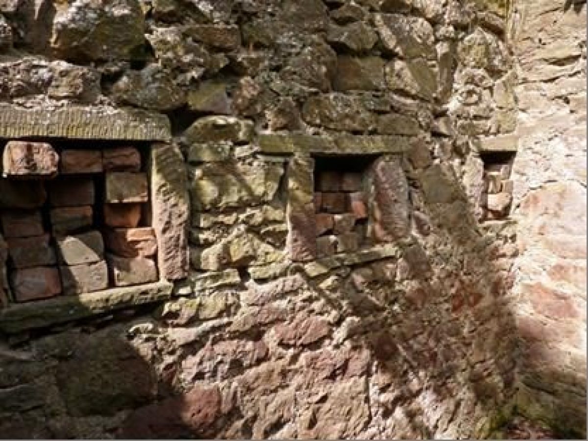
- Description: Red sandstone hencote.
- Earliest Date:
- Latest Date:
- Bee House
- Description: A stone lean-to shed in the walled garden which appears to have been an over wintering place for bee skeps.
- Earliest Date:
- Latest Date:
- Country House (featured building)
- Description: Ashlar-faced late-18th-century laird’s house. The main block is of two storeys over a basement. Front of three bays with a columned and corniced central doorpiece. Slightly recessed lateral wings, each of one tall storey and with a round-headed over-arch over the single front window. (John Gifford 2012)
- Earliest Date:
- Latest Date:
- Building
- Description: A red sandstone U-plan steading with a central courtyard.
- Earliest Date:
- Latest Date:
- Key Information
Type
Estate
Purpose
Ornamental
Principal Building
Domestic / Residential
Survival
Extant
Hectares
5.4
Electoral Ward
Hayshead and Lunan
- References
Contributors
Sinclair Sutherland
Sue Hewer
Angus Landscape Survey Group
The Garden History Society in Scotland