Introduction
Constable Burton Hall has an associated landscape park and woodland gardens. Other features include the stream garden and the walled garden.
Terrain
The site is on rolling land which falls on each side of the Burton Beck which runs north-west/south-east through the site.The following is from the Register of Parks and Gardens of Special Historic Interest. For the most up-to-date Register entry, please visit The National Heritage List for England (NHLE):
Gardens of the 18th and 20th century possibly with 17th-century origins, park with medieval origins and park landscaping which probably dates from the 18th century.
Location, Area, Boundaries, Landform and Setting
Constable Burton lies immediately north and west of the village of Constable Burton in an area which is otherwise rural and agricultural. The c 135 ha site is on rolling land which falls on each side of the Burton Beck which runs north-west/south-east through the site. The boundaries are largely walled with the A684 dividing the south-eastern part of the site from the village.
Entrances and Approaches
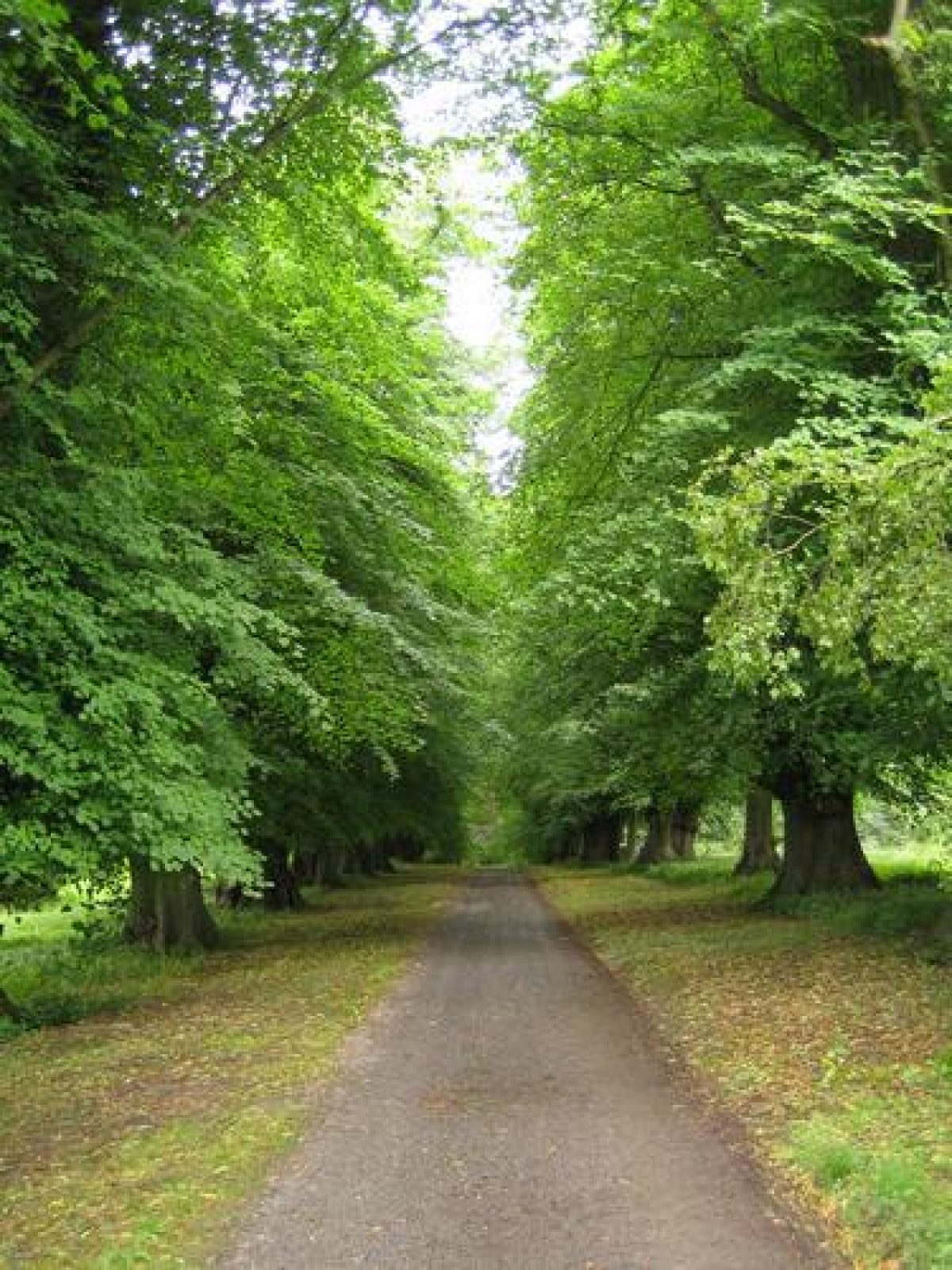
The main entrance is from the A684 in the village where gates lead to a drive which runs north over a stream via a bridge to the west side of the Hall. Another entrance from the A684, c 300 m to the west of the first, leads north across a caravan site (outside the registered area) and enters the park running north-east and east to the west side of the Hall. There are fine views of the Hall through scattered trees from this approach. Another entrance on the east side of the site leads from the junction of the A684 with Conyers Lane and runs westwards over an C18 bridge (listed grade II) with a balustrade, from which views of the steep wooded valley of the Burton Beck and of D'arcy's lake can be obtained. The drive continues alongside a tributary of Burton Beck on the south side of the gardens to join the main drive from the village.
Principal Building
Constable Burton Hall (listed grade I) is on or near to the site of a house shown on the Knyff and Kip engraving which shows a substantial building with corner turrets and wings projecting on each side of a courtyard on the west side. The topography of the surrounding countryside tends to support the theory that the present building of 1762/8 is on the same site. Sir Marmaduke Wyvill commissioned John Carr (1723-1807) to build the new Hall which is a compact building with a portico and stairs down from the piano nobile on the west front. It has been described as 'a very perfect mid Georgian house, a square of beautiful ashlar stone...' (Pevsner 1966). It lies on the south-east side of the park and is in use as a private residence (1998).
Immediately to the north of the Hall there are two courtyards around which stables and a coach house, a laundry block (all by Carr, listed grade II) and other ancillary buildings are ranged. Some of the buildings exhibit signs that earlier structures may have been incorporated into them, possibly ranges of ancillary buildings shown on the site by Knyff and Kip.
Gardens and Pleasure Grounds
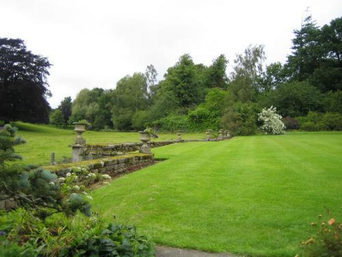
On the west side of the Hall there is a turning circle and level lawns are divided from the park by a ha-ha. This has a low parapet wall surmounted by urns which breaks forward to project to the west on the line of the west front. There are views over gently rising parkland. The arrangement is shown on the 1913 OS map but not on that of 1856, but brick footings visible within the ha-ha suggest that either the present layout may be a partial reinstatement of an arrangement swept away during the later C18, or the foundations may relate to a formal walled garden with circular beds which is shown in this position on the Knyff and Kip engraving.
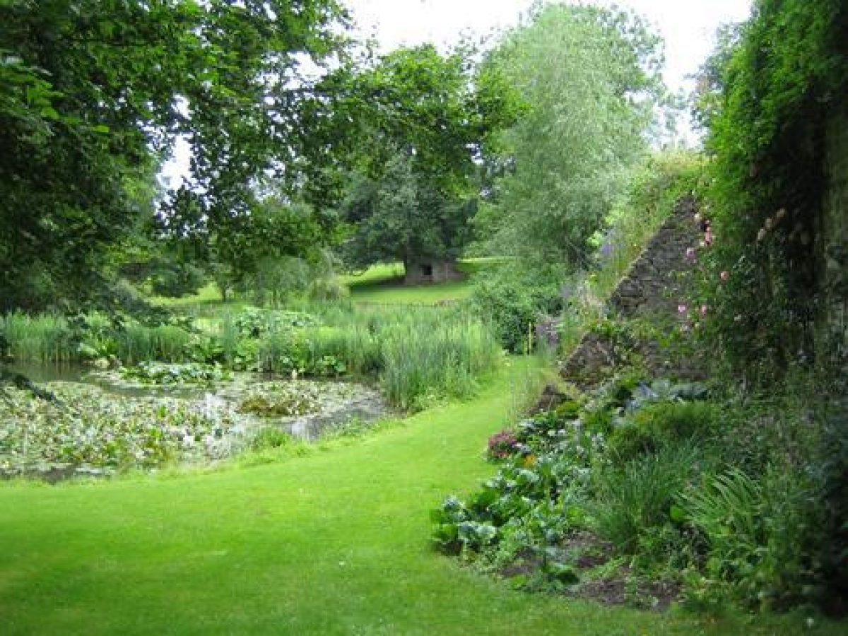
A terraced walk runs around the south side of the Hall from which a lawn slopes gently to the south. Beyond the lawn the ground is terraced down in two stages and planted with a mixture of mature trees, including yews, and shrubs. The retaining walls and stone steps connecting the levels, and much of the planting, were introduced in the period 1936-77 by Vida Burdon who was resident at the Hall during that period. The southern edge of the garden slopes steeply down to the east drive which runs alongside a tributary of the Burton Beck. The 1856 OS map shows scattered trees on the site and a summerhouse, of which no obvious trace remains, in the south-east corner of the garden, as well as a line running east/west south of the summerhouse which could be the remains of earlier terracing.
The Knyff and Kip engraving shows three garden compartments between the Hall and the Beck, divided by lines of trees. It is possible that the general outline of the garden and some of the mature yews survive from this period.
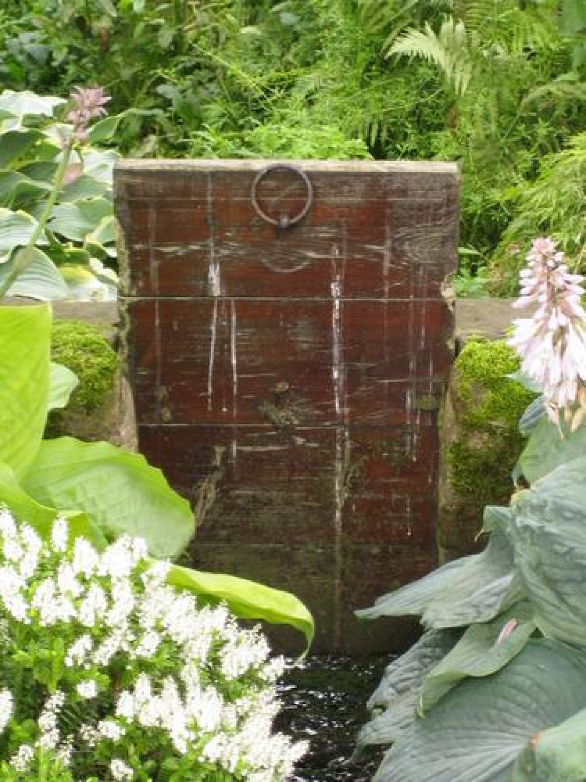
The walkway continues along the east side of the Hall and the land falls towards the Burton Beck. Lawns and flower beds occupy the area immediately east of the Hall and a terraced walk, suggested on the 1856 OS map, runs to the east of these, beyond which the land falls sharply down to the Burton Beck. A short lime avenue runs north-eastwards from the north-east side of the Hall to the edge of the garden and could be the avenue shown in approximately this position on the Knyff and Kip engraving. A wall divides the north side of the eastern garden from the service courtyard on the north side of the Hall.
On the north-west side of the Hall there is woodland and an avenue of mature limes leads north-west to the kitchen garden. There are views over the steep-sided Burton Beck from this walk. The avenue shown on the 1856 OS map and one shown in approximately this position by Knyff and Kip could be identifiable with this route, but peculiarities of the perspective in the view with respect to the positioning of the kitchen garden make positive identification impossible.
Kitchen Garden
The kitchen garden lies c 300m north-west of the Hall and consists of a rectangular walled enclosure supported by large stone buttresses on the south side. The garden is shown in similar form on the 1856 OS map. A garden shown by Knyff and Kip to the north-east of the Hall could represent this garden, displaced for the convenience of showing it on the view. There is no sign of a garden in the position indicated which is on a slope on the north side of the Burton Beck.
Park
On the east side of the Hall the wooded side of the Burton Beck and D'arcy's Lake lies c 100 m south-east of the Hall. The Lake is not shown on the 1771 county map or the 1856 OS map but the Knyff and Kip engraving shows rectangular fishponds in this area.
To the west of the Hall the park falls into two areas, divided by a stone wall. Burton Park is pasture well covered with mature trees and clumps, while Middle Park, to the west, has fewer trees and is largely under arable cultivation. Hardcastle Wood and Carter's Wood shelter the west and north-west sides of Middle Park and the Burton Beck, with steep wooded sides, runs north-west/south-east through the northern part of the park.
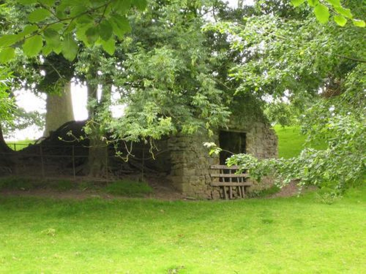
A deer shelter (late C18, listed grade II) converted for use as washrooms (1998) lies c 300 m south-west of the Hall in Burton Park, and there is an icehouse (probably late C18, listed grade II) set into a slope c 250 m to the north-west. On the north-east side of Burton Beck, c 600 m from the Hall, Foal Park Farm has a castellated south elevation designed to act as an eyecatcher from the park.
The 1771 county map shows that the park covered a larger area at that time. The area on the north side of the Burton Beck is marked Foal Park and areas to the east and west of the present park were within the pale. West Park covered an area immediately to the west of Middle Park on land which is now in agricultural use and is shown divided into fields on the 1856 OS map.
Maps
- T Jefferys, County Map, 1771
- OS 6" to 1 mile: 1st edition published 1856
Description written: September 1998
Edited: October 1999
- Visitor Access, Directions & Contacts
Telephone
01677 450428Website
http://www.constableburton.comAccess contact details
The gardens are open from 9am until 6pm betweeen March and September.
- History
The following is from the Register of Parks and Gardens of Special Historic Interest. For the most up-to-date Register entry, please visit The National Heritage List for England (NHLE):
16th Century
A deer park was enclosed at Constable Burton in the reign of Edward III, and the park is mentioned by Leland in the early 16th century.
18th - 20th Century
A garden and park were present in 1700, the date of an engraving by Knyff and Kip. Sir Marmaduke Wyvill owned the estate in the mid-18th century and it has remained in the family from that time, continuing in private ownership (1998).
Period
18th Century (1701 to 1800)
- Associated People
- Features & Designations
Designations
The National Heritage List for England: Register of Parks and Gardens
- Reference: GD2062
- Grade: II
Features
- House (featured building)
- Stream
- Key Information
Type
Park
Purpose
Ornamental
Principal Building
Domestic / Residential
Period
18th Century (1701 to 1800)
Survival
Extant
Hectares
135
Open to the public
Yes
Civil Parish
Constable Burton
- References
References
- {English Heritage Register of Parks and Gardens of Special Historic Interest}, (Swindon: English Heritage, 2008) [on CD-ROM] Historic England Register of Parks and Gardens of Special Historic Interest
- Lemmon, K., {The Gardens of Britain 5: Yorkshire and Humberside} (London: Batsford, 1978), pp. 64-5 The Gardens of Britain 5: Yorkshire and Humberside
- Pevsner, N., {The Buildings of England: Yorkshire The North Riding} (Harmondsworth: Penguin, 1966), pp. 124-5 The Buildings of England: Yorkshire The North Riding
- A map plate folio of parts of Great Britain, arguably the most important work of Dutch draughtsman Jan Kip, who collaborated with Leonard Knijff Britannia illustrata
- Country Life, 144 (28 November 1968), pp 1396-1400 Country Life, 144