Introduction
Features of the site include a large walled garden, probably of 17th century date, and a ha-ha. The remains of a dovecot still stand in the farm complex to the south-east of the present hall.
Entrances and Approaches
The entrance is now from this 19th-century road, which runs south-west to north-east. The original entrance appears to be from the other road on the north-east side of the house and is marked by ball-topped gate-piers. This drive is shown on the first edition 6 inch Ordnance Survey map. A map of 1754 (NYCRO ZQH 6/2) shows a road immediately to the north-east of the house, while a map of 1825 (property of Mr. J. Rettie) of the lands belonging to William Chaytor marks its displacement further to the north.
Principal Building
The house, sheltered from the road by a plantation on the west and north, faces south. On the west side of the house is a range of farm buildings, which appear in a survey by Peter F. Ryder, who dates them from before 1754 to the early-19th century. On the south front of the house is a walled garden. Its high west side wall drops in three arc-shaped curves to the south-west corner where there is a cross-gabled finial, probably medieval in origin. This is possibly from Coverham Abbey. In this south-west corner is a stony area, probably the remains of the building shown on the 1825 map which may have been a summer house.
The south and east walls, topped with gabled copings, act as retaining walls and rise barely above garden ground level but rise some three to four feet on their external sides, thus acting as a ha-ha. They permit superb views southwards across the valley and south-eastwards towards Coverham Abbey.
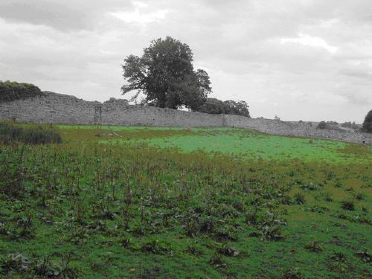
Walled Garden
To the east of the gardens, on the far side of the north-south road, is a large walled garden (1.413 acres on the 1856 Ordnance Survey map), probably of 17th century date. On the 1754 map it is clearly marked as an orchard. According to a survey by Stephen Moorhouse the original medieval manor house lay further to the south-east, while the village then was on the site of the present hall. The remains of a dovecot still stand in the farm complex to the south-east of the present hall.
- Visitor Access, Directions & Contacts
- Features & Designations
Designations
The National Heritage List for England: Listed Building
- Reference: Agglethorpe Hall
- Grade: II
Features
- Hall (featured building)
- Plantation
- Description: The house is sheltered from the road by a plantation on the west and north.
- Entrance
- Description: The entrance is now from the 19th-century road, which runs south-west to north-east.
- Entrance
- Description: The original entrance is marked by ball-topped gate-piers.
- Garden Building
- Description: On the west side of the house is a range of farm buildings.
- Latest Date:
- Garden Feature
- Description: On the south front of the house is a walled garden.
- Finial
- Description: A cross-gabled finial, probably medieval in origin. This is possibly from Coverham Abbey.
- Ruin
- Description: A stony area, probably the remains of the building shown on the 1825 map which may have been a summer house.
- Ha-ha
- Description: The south and east walls of the walled garden, topped with gabled copings, act as retaining walls and rise barely above garden ground level but rise some three to four feet on their external sides, thus acting as a ha-ha.
- Garden Feature
- Description: To the east of the gardens, on the far side of the north-south road, is a large walled garden. This was marked as an orchard in 1754.
- Earliest Date:
- Latest Date:
- Dovecote
- Description: The remains of a dovecot still stand in the farm complex to the south-east of the present hall.
- Key Information
Type
Garden
Purpose
Ornamental
Principal Building
Domestic / Residential
Survival
Part: standing remains
Civil Parish
Coverham with
- References
Contributors
Yorkshire Gardens Trust