Introduction
Beningbrough Hall has an associated landscape park and pleasure grounds. There is also a working walled garden. The site is on level land sited within a bend of the River Ouse, which forms the west and south boundary.
Terrain
The site is on level land sited within a bend of the River Ouse, which forms the west and south boundary.The following is from the Register of Parks and Gardens of Special Historic Interest. For the most up-to-date Register entry, please visit The National Heritage List for England (NHLE):
Location, Area, Boundaries, Landform and Setting
Beningbrough lies immediately south and east of Newton upon Ouse, and immediately north and east of Nun Monkton in a setting which is otherwise rural and agricultural. The c 120 ha site is on level land sited within a bend of the River Ouse, which forms the west and south boundary. New Road forms the north and east boundary, and a track leading south-east from New Road to the river bank at Warp Gate the south-east boundary.
Entrances and Approaches
There are two entrances. At the south end of Newton upon Ouse, gates and a lodge (possibly by James Wyatt, late C18, listed grade II) at the south end of Cherry Tree Avenue lead to a drive which runs south as an avenue and then branches to the east, before turning to run south as an avenue to the Hall. The other entrance is from New Road where there is a lodge from which the drive runs westwards to join with the first drive at the point at which it turns southwards to the Hall. The approach from the east was subject of proposals made in c 1827 by William Sawrey Gilpin (1762-1843) which were probably partially executed and designed to improve views of the Hall from the park.
The drives were realigned and North Avenue replanted with broadleaved lime in the 1890s.
Principal Building
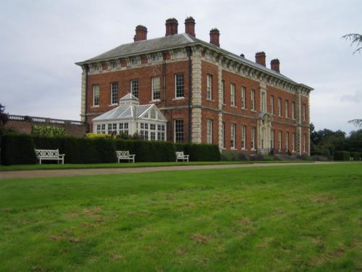
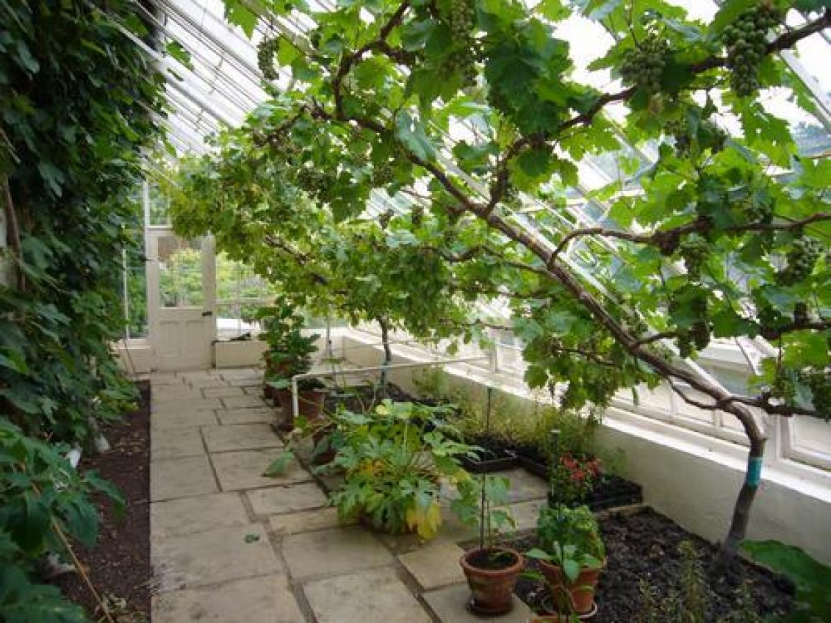
Beningbrough Hall (listed grade I), which is one of the finest Baroque houses in the region, was built for John Bourchier and was completed in 1716. William Thornton, an architect-carpenter from York, supervised the construction of the building but it is not known to what extent he influenced the design. It has been suggested (guidebook) that Bourchier himself, who had visited Italy as part of a two-year grand tour, could have had a hand in the design. A conservatory of c 1900 by Richardsons of Darlington is attached to the south-west corner of the building.
An earlier house, probably built by Ralph Bourchier in the C16, lay c 100 m south-east of the present Hall, and C16 panelling in some of the rooms of the house probably came from this building.
Some 150 m north-east of the Hall there is a complex of stables and ancillary buildings (C18 and C19, listed grade II) used as offices (1998) and a C20 café immediately north of the kitchen garden. Beyond this, c 300 m north-west, there are various farm buildings.
Gardens and Pleasure Grounds
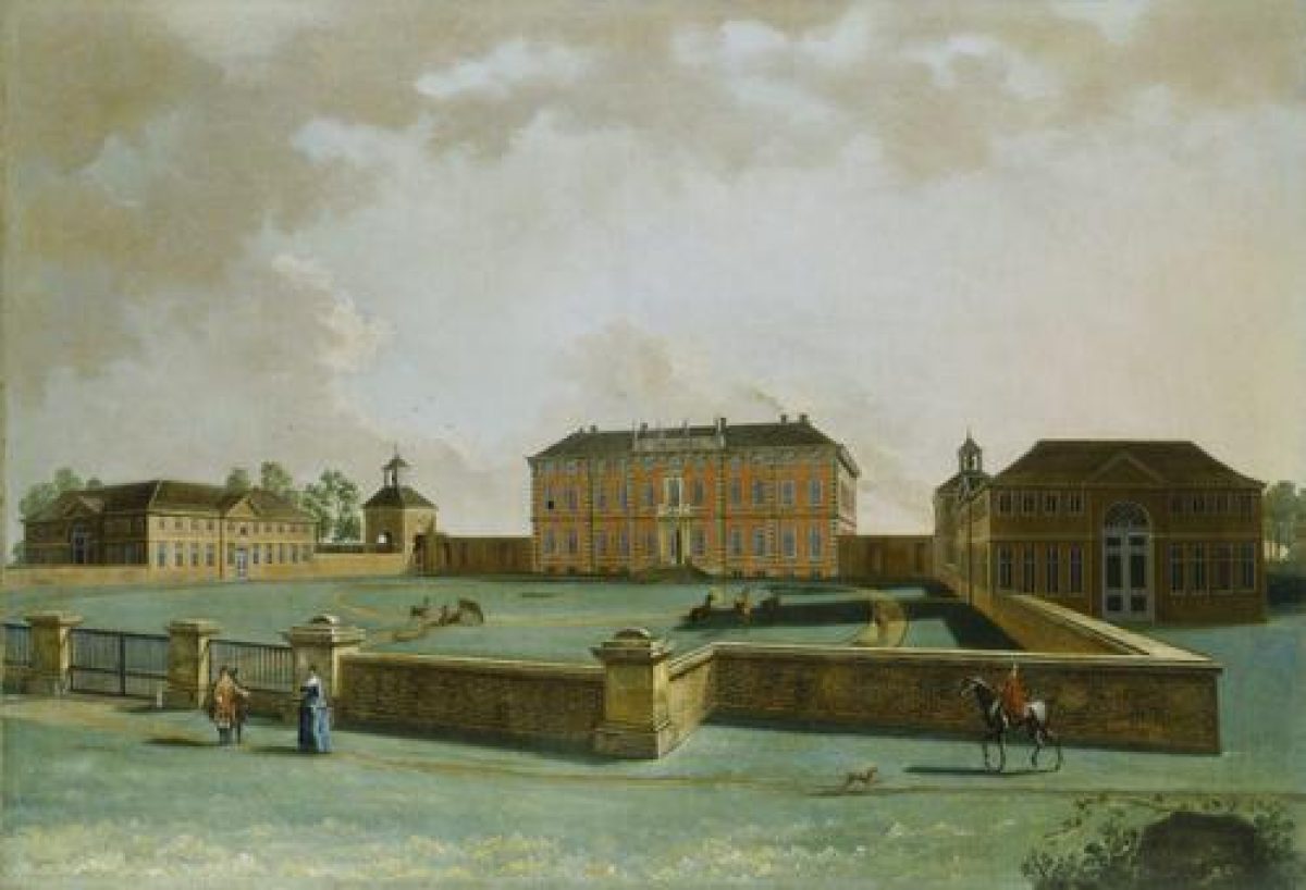
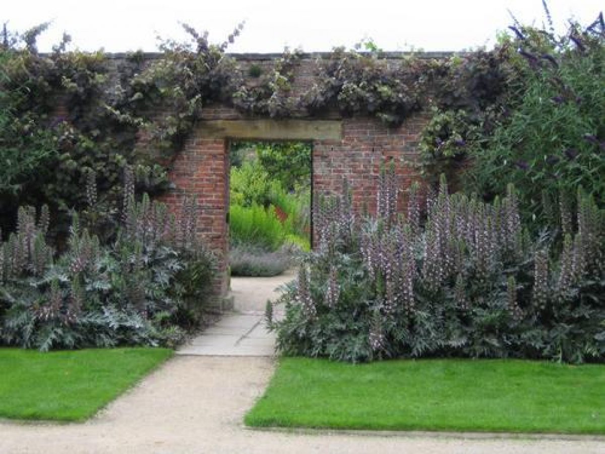
On the north side of the Hall the main approach leads to a walled forecourt with central gates (c 1900, listed grade II) flanked by pavilions called the Clock Tower (east side) and the Bell Tower (both towers listed grade I with the Hall). A painting of 1751 (guidebook) shows the forecourt with service blocks to the south of each of the pavilions, which, if they were ever built, were demolished at an unknown date, possibly to open up views of the Hall from the northern approaches. The forecourt is grassed and there is a turning circle; the walls date from improvements made by Lewis Payn Dawnay in the 1890s. On each side paths lead off through arches beneath the pavilions. To the west there is a courtyard (walls listed grade II) with a brew house (listed grade II) and a laundry (listed grade II). A doorway in the south wall leads into the gardens. The path from the east pavilion leads east to the kitchen garden and stables.
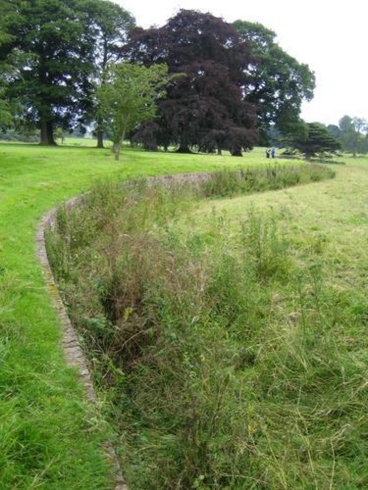
The gardens to the south and west of the Hall are enclosed by a ha-ha (listed grade II) which curves around a patch of woodland immediately north-west of the Hall, shown on an estate map of 1841, and continues around the south front and returns on the east side of the American Garden.
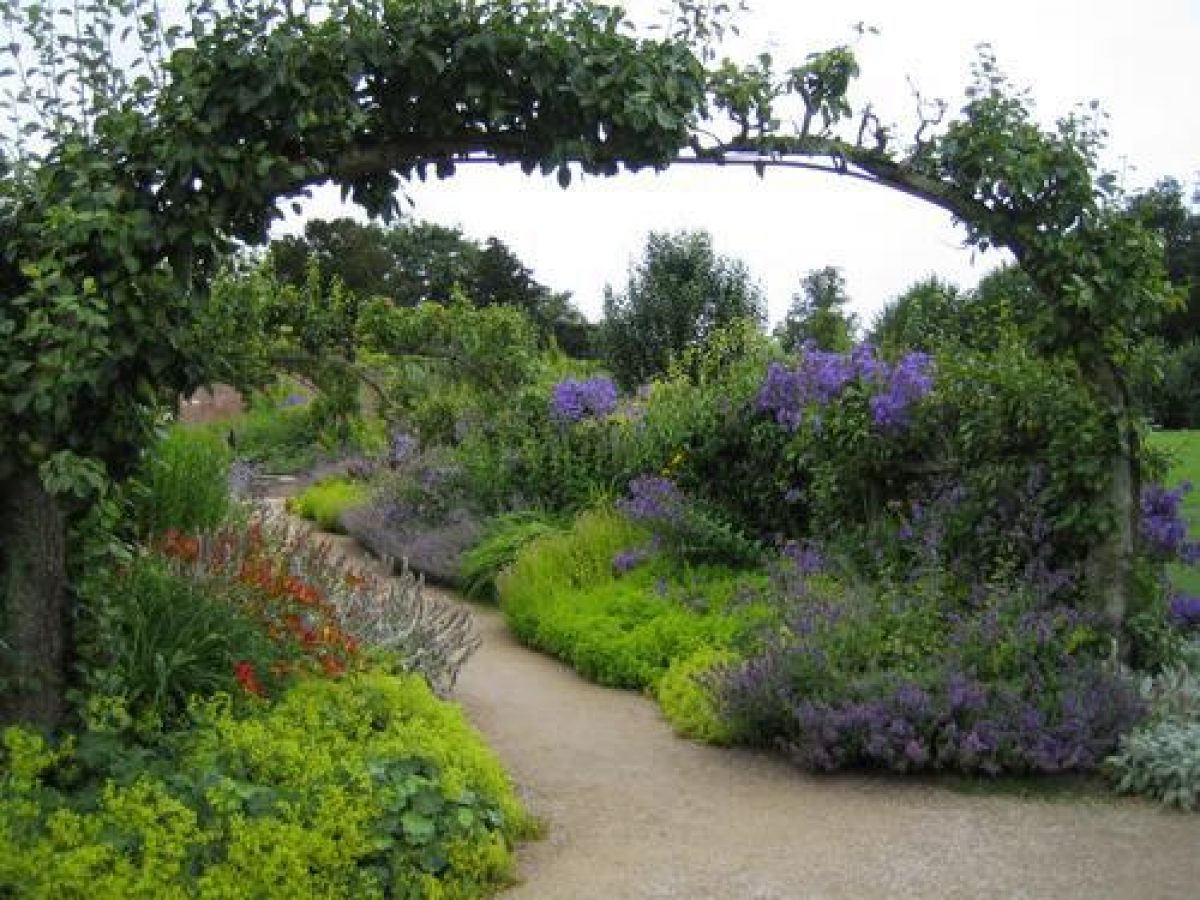
The south front is flanked by small formal gardens enclosed by low walls and clipped hedges which were laid out within the existing enclosures c 1977. To the south of the Hall there are lawns, terraced down in one stage, which slope gently to the south. The lawn was extended southwards and the ha-ha partially rebuilt in the years following 1891, when Lewis Payn Dawnay inherited and instituted changes to the grounds. A sketch by Samuel Buck of c 1720 shows a terrace and formal parterres in this position and a canal running east/west at the bottom of the garden, the presence of which has been confirmed by aerial photographs. It is not known when the gardens were removed and it seems unlikely they survived into the early C19 when William Sawrey Gilpin drew up a scheme (unexecuted) for building a terrace wall along the south front.
The eastern part of the garden, immediately east of the kitchen garden, is called the American Garden, and is marked American Ground on the 1st edition OS map surveyed 1848-52, though it is not shown on the 1841 estate map. It is informally planted with trees and shrubs including magnolias, rhododendrons and azaleas.
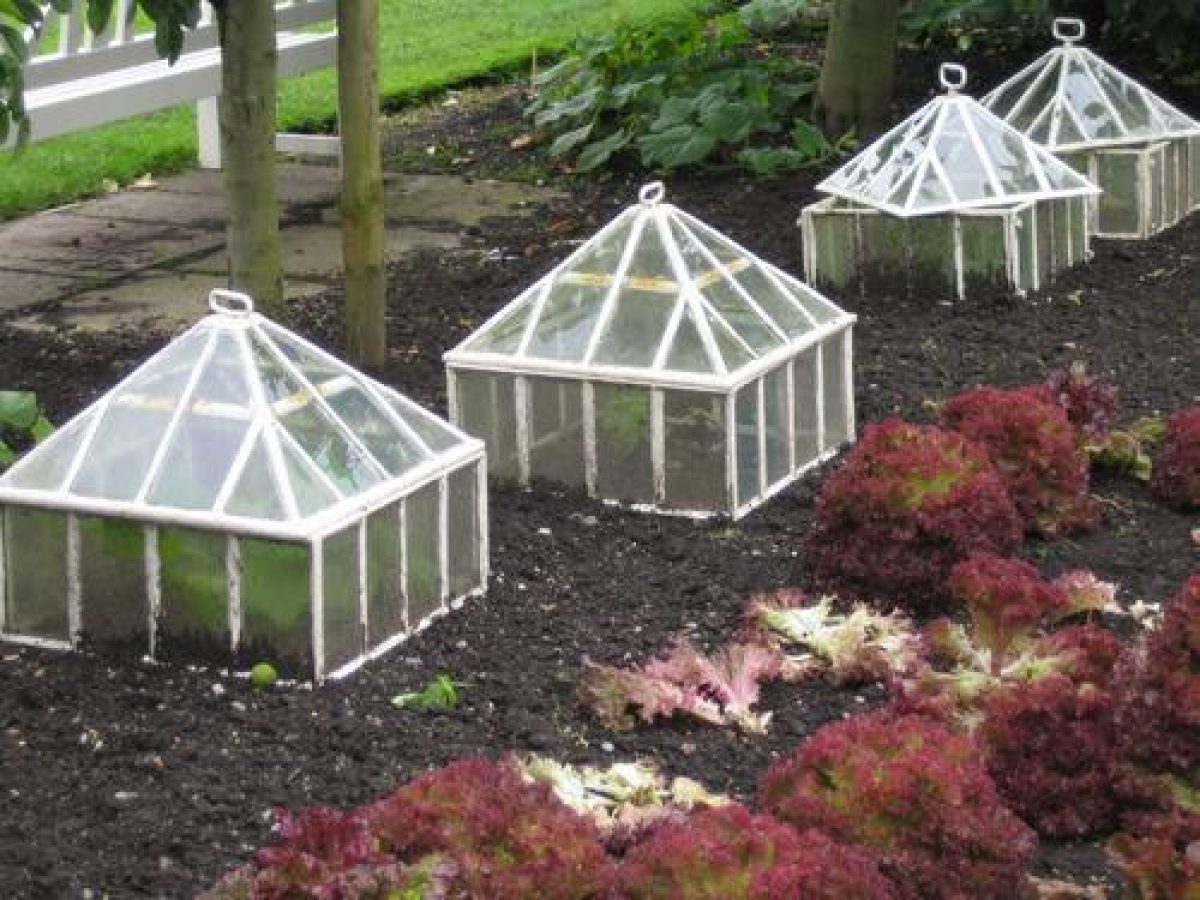
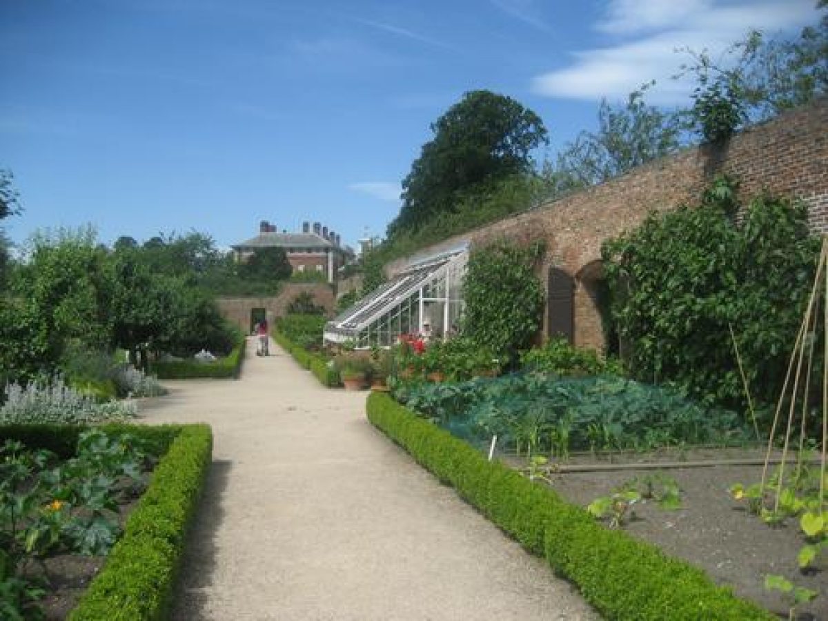
Kitchen Garden
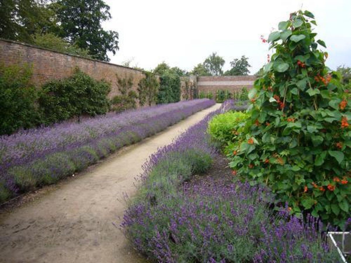
The kitchen garden lies c 100 m east of the Hall. It is a rectangular brick-walled enclosure which is grassed. An entrance in the centre of the north wall leads to a walkway through a tunnel of espalier pears trained over cast-iron arches, probably of mid-late C19 date.
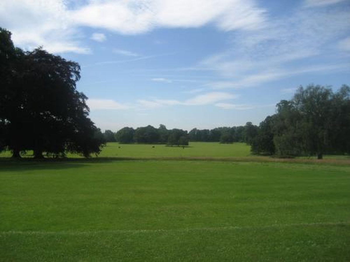
Park
Parkland consists largely of open pasture with scattered trees and clumps. Some 250 m south-west of the Hall there is a partially infilled oval pond called the Skating Pond created in the late C19, and a similar pond (lining listed grade II) lies c 150 m to the north-west. Belts of trees shelter the west and south edges of the park, and a bank alongside the river forms a flood defence. A belt of trees called Larch Walk follows the former park boundary c 500 m north-east of the Hall, as shown on the 1852 OS map, which shows that there was a walk, marked Park Walk, through the perimeter tree belts of the park north of the Hall.
Some 300m west of the Hall near the edge of the Ouse there is a late C19 castellated water tower and pump house (listed grade II).
A county map of 1771 shows a rectangular detached deer park c 1 km north-east of the Hall in an area of agricultural land outside the registered area. Avenues running south, south-east and west from the Hall are shown, and C19 accounts mention ancient oaks and elms which were thought to be the 'remains of avenues' (quoted in guidebook). An account of 1768 mentions an 'alleé of oaks ... [and] irregular clumps of trees' (ibid). Much of the planting probably disappeared in 1778 when Giles Earle sold a large quantity of timber from the estate.
William Sawrey Gilpin made a number of proposals for the park in c 1827 which included planting to conceal farm buildings north-east of the Hall, extending the park to the north and planting to the south. It seems likely that some of the proposals were carried out, and the cedars, poplars and thorns in the south part of the park could be the remains of his planting scheme.
Maps
- T Jefferys, County Map, 1771
- Estate map, 1841 (reproduction at Beningbrough Hall)
- OS 6" to 1 mile:
- 1st edition surveyed 1848-52
- 2nd edition published 1910
- OS 25" to 1 mile: 2nd edition published 1909
Description written: October 1998 Amended: March 1999
Register Inspector: CEH
Edited: October 1999
- Visitor Access, Directions & Contacts
Telephone
441904472027Access contact details
For more detailed information visit the National Trust website.
- History
The following is from the Register of Parks and Gardens of Special Historic Interest. For the most up-to-date Register entry, please visit The National Heritage List for England (NHLE):
12th - 13th Century
Beningbrough was owned by the Hospital of St Leonard in York during the 12th and 13th centuries.
16th Century
Following the Dissolution it was sold to John Banister who passed it to his nephew, Ralph Bourchier, in 1556.
18th - 20th Century
It remained in the Bourchier family until 1761 when it passed by marriage to the Earle family, and thence to the Dawnays, by marriage, in 1827. The estate was sold to Lord and Lady Chesterfield in 1917, and following the death of Lady Chesterfield in 1957 it was passed to the National Trust, in whose ownership it remains (1998).
- Associated People
- Features & Designations
Designations
The National Heritage List for England: Register of Parks and Gardens
- Reference: GD2059
- Grade: II
Features
- Kitchen Garden
- House (featured building)
- Earliest Date:
- Latest Date:
- Key Information
Type
Park
Purpose
Ornamental
Survival
Extant
Hectares
120
Open to the public
Yes
Civil Parish
Beningbrough
- References
References
- {English Heritage Register of Parks and Gardens of Special Historic Interest}, (Swindon: English Heritage, 2008) [on CD-ROM] Historic England Register of Parks and Gardens of Special Historic Interest
- Harris, J., {The Artist and the Country House} (London: Russell Chambers, 1979), p. 317 The Artist and the Country House
- Pevsner, N., {The Buildings of England: Yorkshire The North Riding} (Harmondsworth: Penguin, 1966), pp. 78-80 The Buildings of England: Yorkshire The North Riding
- Hilary Taylor Landscape Associates {Beningborough Parkland Plan} (2009) Beningborough Parkland Plan
- Samuel Buck's Yorkshire Sketchbook
- Beningbrough Hall, guidebook
- William Sawrey Gilpin (1762-1843) - English Heritage Designer Theme Study 1994
Contributors
Louise Wickham
- Related Documents
-
CLS 1/900
Notes on Designed Landscape (Word doc.) - Digital copy
Nick Owen (Debois Landsdcape Survey Group) - 2008
-
CLS 1/901
Notes on Designed Landscape (PDF) - Digital copy
Nick Owen (Debois Landsdcape Survey Group) - 2008
-
CLS 1/902
Photographs - Digital copy
Nick Owen (Debois Landsdcape Survey Group) - 2008
-
CLS 1/903
Trees and Woods - Digital copy
Nick Owen (Debois Landsdcape Survey Group) - 2008
-
CLS 1/904
Groups and Woods - Digital copy
Nick Owen (Debois Landsdcape Survey Group) - 2008
-
CLS 1/905
Tree Survey - Digital copy
Nick Owen (Debois Landsdcape Survey Group) - 2008
-
CLS 1/544
Parkland Plan - Digital copy
Hilary Taylor Landscape Associates - 2009
-
CLS 1/900