Introduction
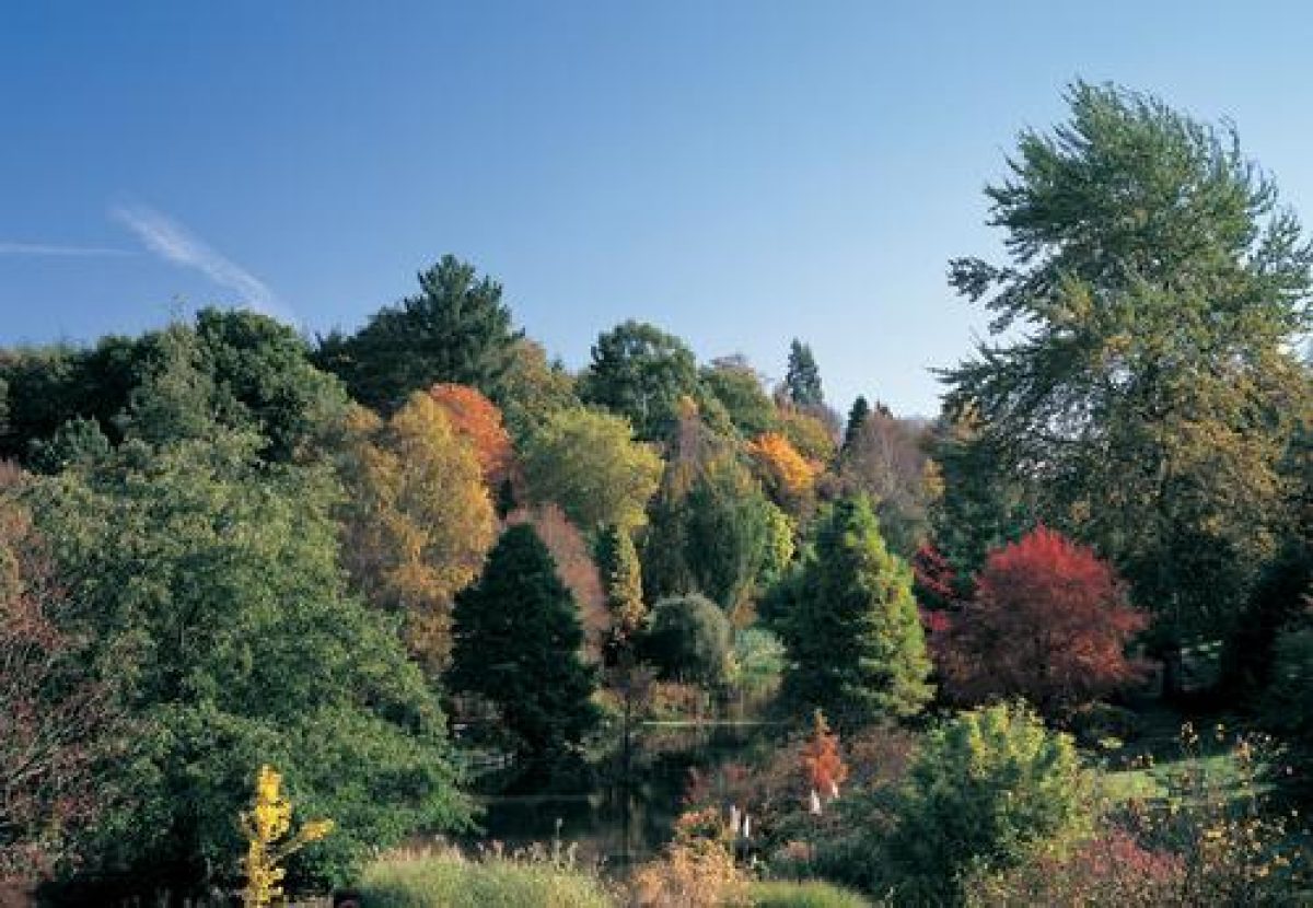
These are the gardens and arboretum planted by Sir Harold Hillier, plantsman of world-renown, as the grounds of his own home. The Gardens comprise one of England's most comprehensive collections of hardy trees and shrubs and one of the most important plant collections in the world. There are over 42,000 plants across 180 acres, together with Europe's largest Winter Garden.
Terrain
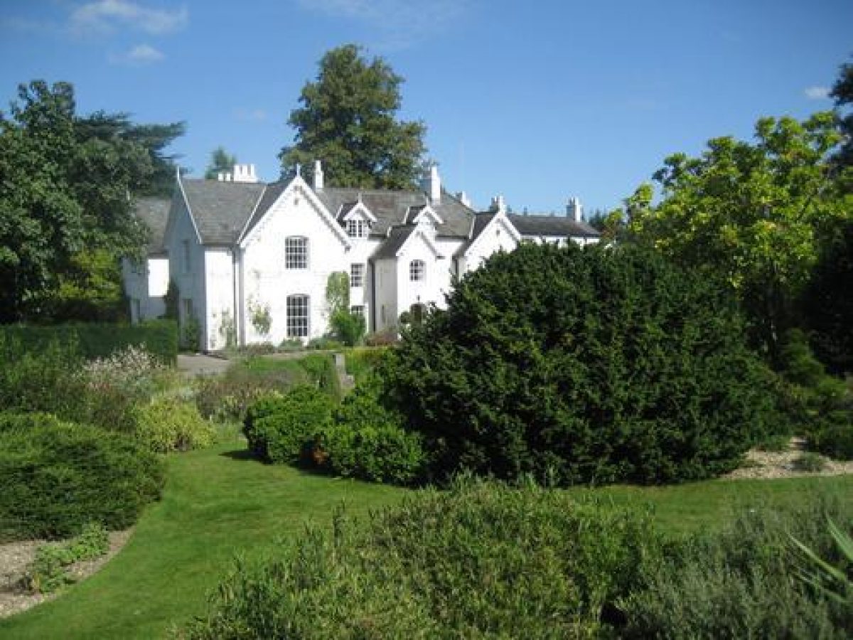
Jermyns House stands towards the south-east side of the registered area, the land rising to the east beyond the entrance front, being roughly level to the west of the house and falling to the north and north-west.
The following is from the Register of Parks and Gardens of Special Historic Interest. For the most up-to-date Register entry, please visit The National Heritage List for England (NHLE):
Gardens and an arboretum planted from the 1950s onwards by Sir Harold Hillier, plantsman of world-renown. Originally forming the grounds around his own home, the gardens were extended under the ownership of Hampshire County Council, in line with Hillier’s aims, to form one of England’s most comprehensive collections of hardy trees and shrubs.
Location, Area, Boundaries, Landform and Setting
The Sir Harold Hillier Gardens lie between the villages of Ampfield and Braishfield, 5km north-east of Romsey.
The main section of the 70ha site is defined by Jermyns Lane, the public road which forms the southern boundary; an extensive area of woodland beyond the parish boundary to the east; a stream before agricultural land and a small settlement to the north; and Crookhill Farm and Braishfield Road to the west.
To the south of Jermyns Lane is an additional, primarily wooded area of the Gardens and Arboretum, centred on Brentry House, which occupies land formerly at the north end of Ganger Common. Jermyns House stands towards the south-east side of the registered area, the land rising to the east beyond the entrance front, being roughly level to the west of the house and falling to the north and north-west down to the stream which flows through the bottom of the valley north of the site.
Entrances and Approaches
The House is approached by an entrance on Jermyns Lane, from where a drive leads northwards to the south-east front. Some 150m to the east of this entrance stands a lodge marking the entrance to the House prior to Sir Harold's purchase of the property. The main entrance to the gardens for visitors and vehicles lies off Jermyns Lane some 650m further to the west.
Principal Building
Jermyns House dates from the early C18 but was greatly extended in 1822 when the property was acquired by the Heathcote family.
Gardens and Pleasure Grounds
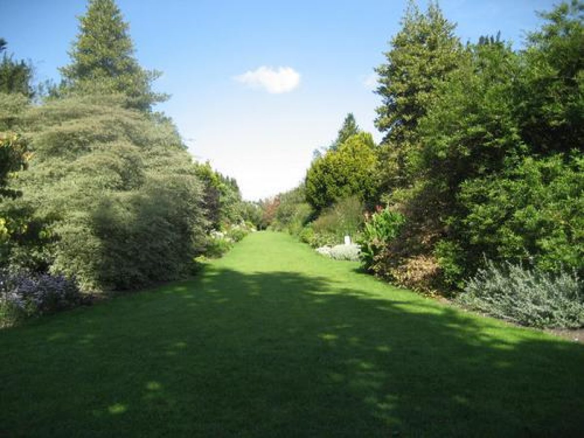
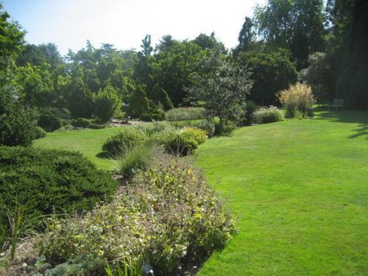
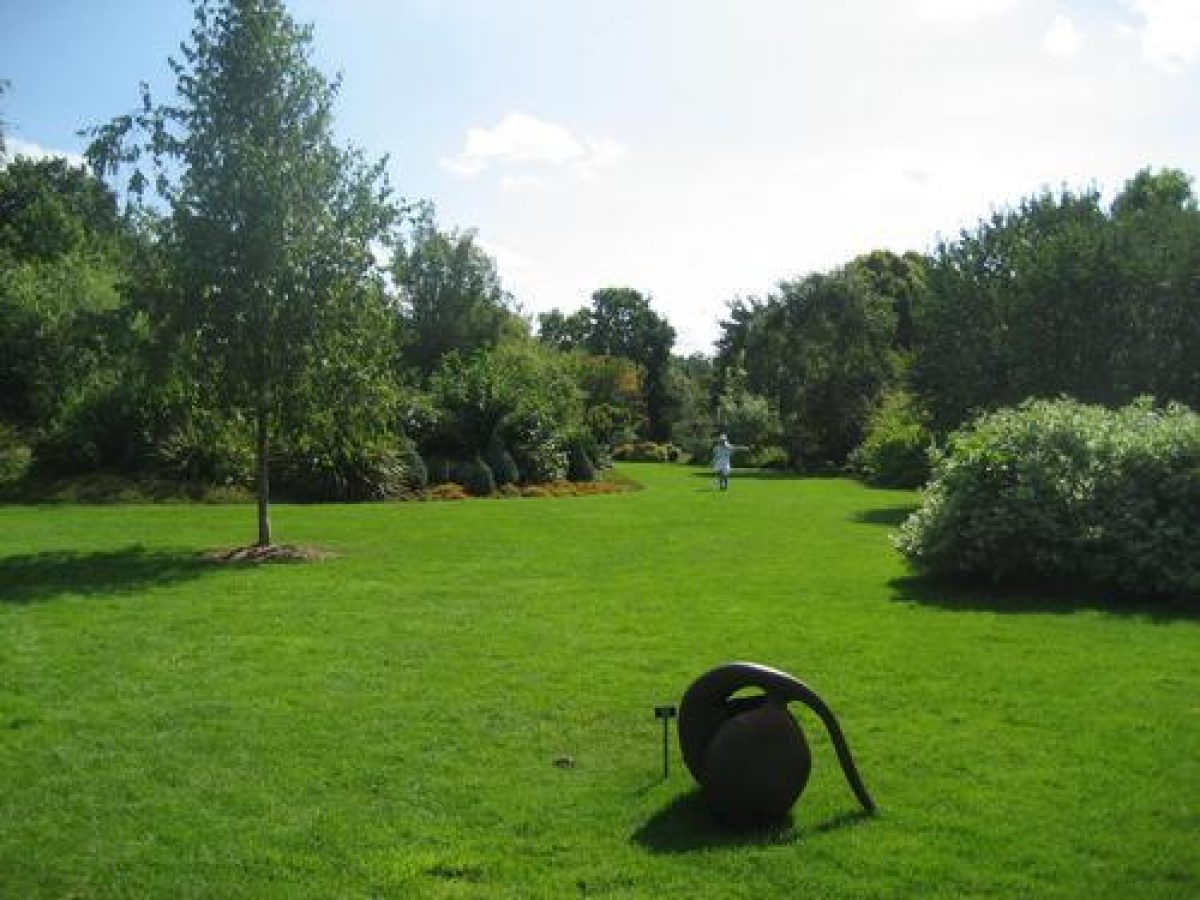
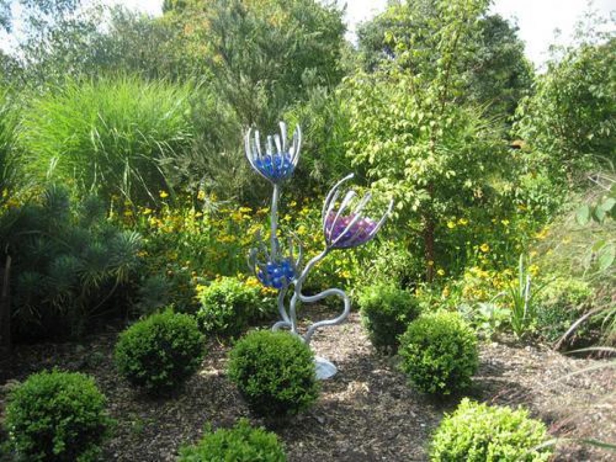
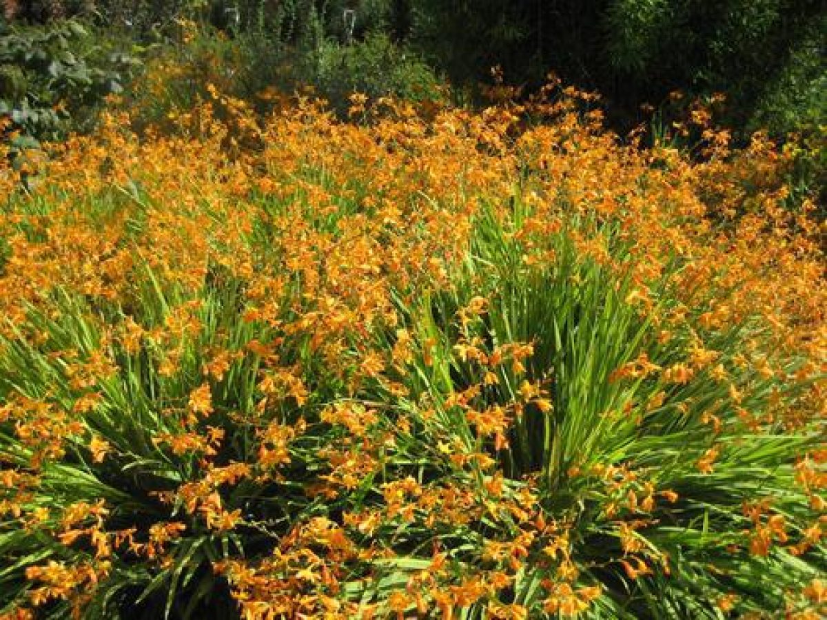
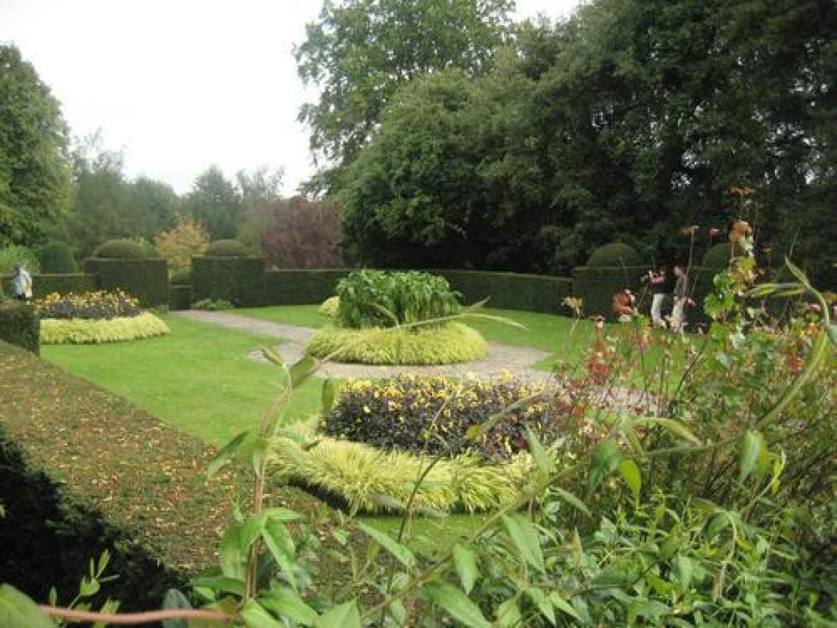
The Gardens and Arboretum surround the House with a network of paths, many of them informal grass walks, giving access to the vast array of plants. Sir Harold focused strongly on the plants as a collection, rather than their placing as part of a designed landscape, and freely admitted that he had no overall plan for the gardens, planting piece-meal as and when plants and a suitable space were available. His aim was to create, as attractively as possible, an extraordinary collection of plants, and the gardens as seen today are a clear reflection of this policy.
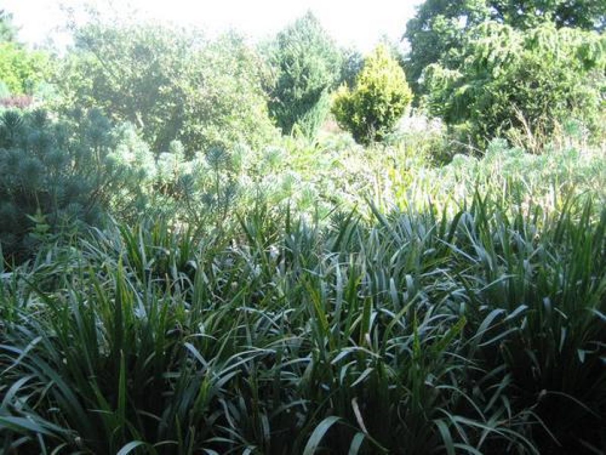
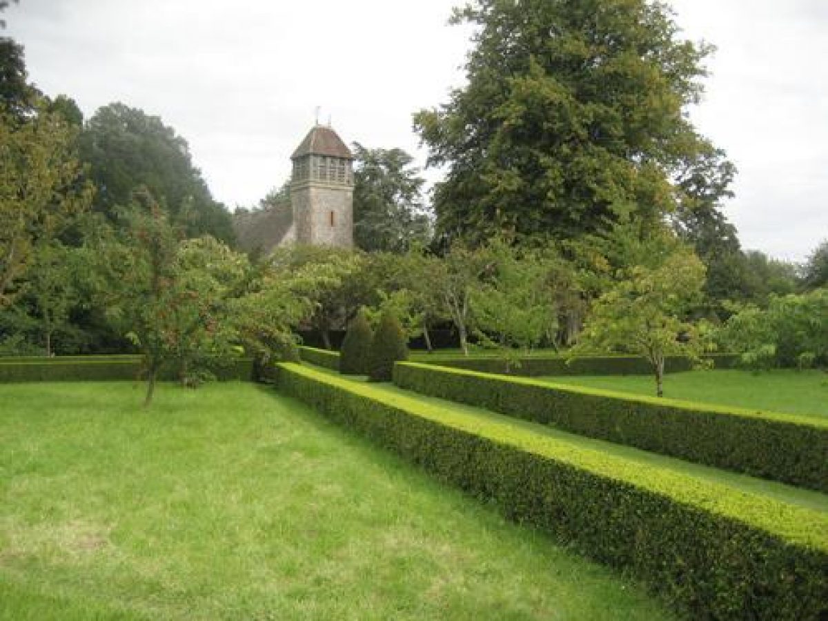
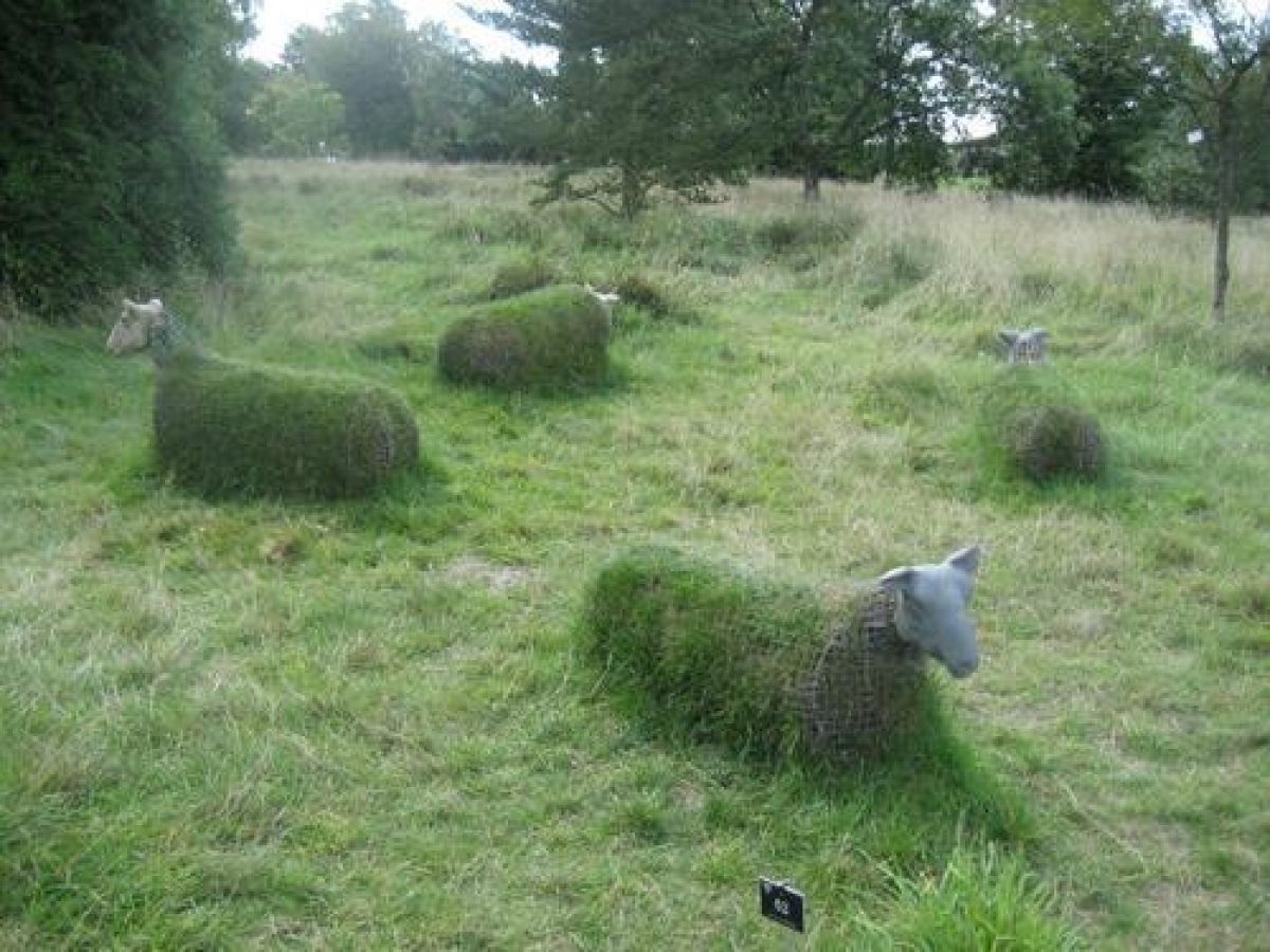
The ground divides into several named areas. To the east of the house, the Magnolia Avenue forms a vista up the rising ground with the Heather Garden lying to the east of this. To the west of the House, the area which formed the C19 parkland is known as Ten Acres West and Ten Acres East, the two being divided by the Centenary Border, a broad straight grass walk leading between deep beds, laid out in the mid 1960s. A scattering of the parkland oaks remain. North of this is the North West Slope, and beyond, occupying the steep-sided valley which leads northwards from the House, are the Peat Garden, Bog Garden, and Pond. The strip on the far side of this valley up to the boundary is named the Three Acre Paddock.
Since 1977 Hampshire County Council has extended and developed the gardens to the west and north-west, integrating an area purchased from Hillier Nurseries Ltd. This land had been taken in from the C19 field system for use as nurseries but had also been used in part by Sir Harold for his collection. The north-west area includes the Oak Field, Lower Meadow, Braishfield Plantation, Pylon Field, Winter Garden, and the populetum planted on the damp ground alongside the water course. This is linked to the south-west section by the Whitegate Border, Acer Valley, and Pinetum. South of these are the facilities for visitors such as car parks and picnic area, the Hillier Nurseries plant centre, and Crookhill Field.
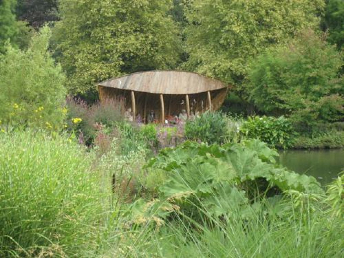
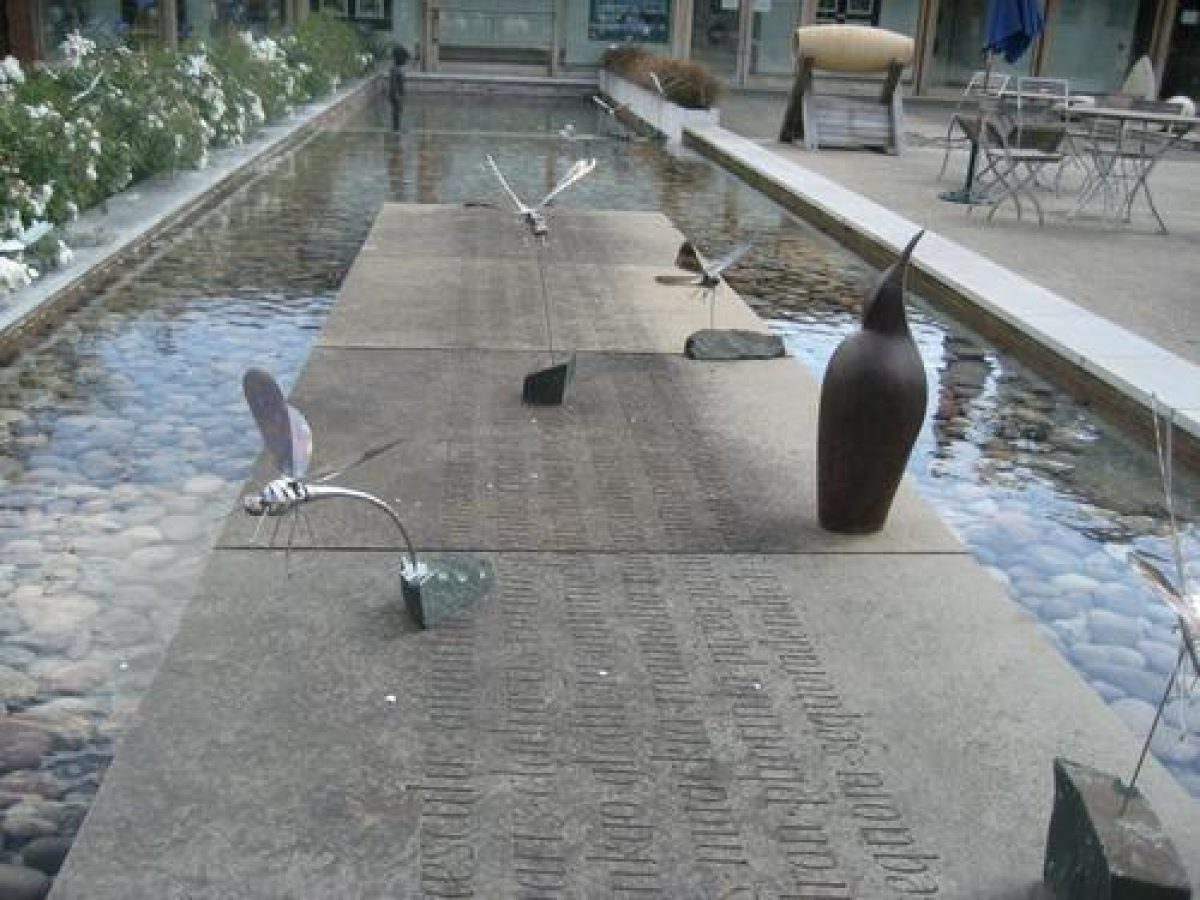
Following the adoption of a landscape masterplan in 1994, a new Winter Garden started to be developed in 1996, on the site of the old Rose Garden at the gardens' main entrance. This involved lifting and transplanting some 200 mature trees and shrubs to form mature planting within the garden. A further 6000 plants of 630 different species have been planted to display the varieties of winter foliage, bark, flower, and form. In addition a Pavilion has been built, sited centrally at the head of the vista that runs north to south through the gardens towards Braishfield, to take advantage of the varied pattern of vistas and rides that radiate out from the Pavilion at this point.
Kitchen Garden
Immediately to the north of the House stand the stables and outbuildings and the site of the C19 walled kitchen garden, the walls of which in part survive within a nursery area.
Maps
- Enclosure Award for Ampfield, 1808 (Hampshire Record Office)
- OS 6" to 1 mile: 1st edition published 1870
Archival items
- Declaration by William Street, 16 August 1850 (8M55/5/8), (Hampshire Record Office)
- A Coombes, A Brief History of the Sir Harold Hillier Gardens and Arboretum, (unpublished typescript 1996) [copy on EH file]
Description rewritten: September 1999
Edited: February 2004, December 2021
- Visitor Access, Directions & Contacts
Telephone
01794 368787Access contact details
The site is open daily from 10 am throughout the year, except over the Christmas break. Children 16 and under are free. For more detailed information regarding visitor opening see the Hampshire County Council website.
Directions
The Gardens are situated 2 miles north-east of Romsey in Hampshire.
Exit the M27 at junction 3, following signs to Romsey.
Owners
Hampshire County Council
The Castle, Winchester, Hampshire, SO23 8UJ
- History
The following is from the Register of Parks and Gardens of Special Historic Interest. For the most up-to-date Register entry, please visit The National Heritage List for England (NHLE):
19th Century
On purchasing Jermyn's Farm in 1822, which lay some 5 kilometres from his seat at Hursley Park, Sir Thomas Freeman Heathcote, with Col Gilbert Heathcote, altered and enlarged the existing house and 'laid out a garden and plantations' (Declaration by W Street, 1850). The public road was realigned slightly to the south as part of the provision of a small parkland area to south and west, which was enclosed by a wooded belt or shrubbery cut through with paths to the west and by the extensive woodland to the east.
From the mid-19th century onwards, the property changed hands a number of times until purchased in 1951 by Sir Harold Hillier (died 1985), plantsman and plant collector, who chose it at least in part for its acidic soil. In developing the gardens, Hillier's ambition was to assemble the largest collection of hardy woody plants in the northern temperate world, planting together as a garden many of the plants which the Hampshire-based family firm, Hillier Nurseries (founded in 1864), had been responsible for raising and introducing, along with many others collected by himself through his friends and contacts.
20th Century
An idea of the range of the collection is provided by the Hillier Manual of Trees and Shrubs, first published as the firm's centenary catalogue in 1964, which, since its formal publication in 1971 (and major revision in 1991), has become a standard reference work.
The Hillier collection at Jermyns has played a significant role in many other major works documenting woody plants, and, through its contribution to the knowledge of such plants, like Hillier himself, this extensive botanical resource has been highly influential in the gardening world of the second half of the 20th century.
In 1977, the 42.5 hectare site was given in trust to Hampshire County Council which has continued to develop the collection, managing the gardens by abiding closely to the original ideas of Sir Harold. By 1997 the Hillier Gardens contained over 42,000 plants of 12,000 different taxa, set within an area of 70 hectares, the area having been extended through direct purchase from Hillier Nurseries. Hillier's original goal has been achieved, and the gardens boast one of England's most comprehensive collections of hardy trees and shrubs.
In 1994 a landscape masterplan to guide the development of the gardens over the next fifty years was established to enable both the future development of the collection and its use by visitors. It involves relieving overcrowded areas, eliminating duplication of specimens, and aims to develop under-used areas of the gardens.
- Associated People
- Features & Designations
Designations
The National Heritage List for England: Register of Parks and Gardens
- Reference: GD4024
- Grade: II
Plant Environment
- Plant Type
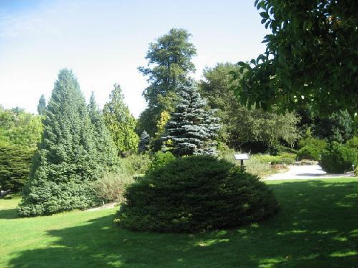
- Arboretum
Features
- House (featured building)
- Description: Jermyn's House is used as a venue for weddings and conferences.
- Planting
- Description: Children's education garden.
- Planting
- Description: Winter garden.
- Planting
- Description: Acer valley.
- Tree Feature
- Description: Pinetum.
- Planting
- Description: National Collection Glade.
- Pond
- Earliest Date:
- Latest Date:
- Planting
- Description: Bog garden.
- Planting
- Description: Three acre paddock.
- Earliest Date:
- Planting
- Description: Ampfield Wood valley.
- Planting
- Description: Himalayan valley.
- Walk
- Description: Hydrangea walk.
- Planting
- Description: Gurkha memorial garden.
- Earliest Date:
- Latest Date:
- Avenue
- Description: Magnolia avenue.
- Earliest Date:
- Latest Date:
- Planting
- Description: Heather garden.
- Tree Feature
- Description: Brentry woodland.
- Walk
- Description: Spring walk.
- Border
- Description: Centenary border.
- Earliest Date:
- Latest Date:
- Pavilion
- Description: Visitor and education pavilion.
- Key Information
Type
Collection
Purpose
Ornamental
Plant Environment
Plant Type
Principal Building
Domestic / Residential
Survival
Extant
Hectares
70
Open to the public
Yes
Civil Parish
Ampfield
- References
References
- {English Heritage Register of Parks and Gardens of Special Historic Interest}, (Swindon: English Heritage, 2008) [on CD-ROM] Historic England Register of Parks and Gardens of Special Historic Interest
- (1998) Hampshire Gardens Trust Journal 17
- Related Documents
-
CLS 1/272/1
Report on the Landscape Masterplan - Hard copy
Colvin and Moggridge - 1998
-
CLS 1/272/1