Introduction
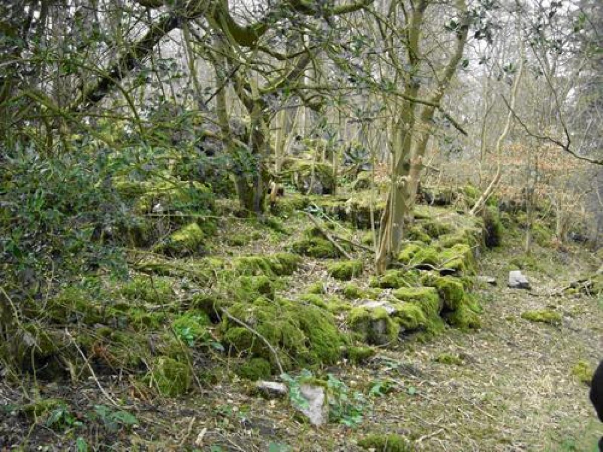
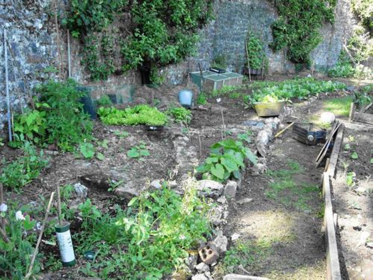
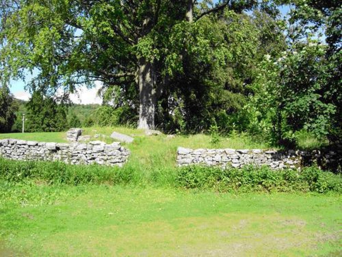
Features include a kitchen garden, though no internal features have been retained. There is an unusual semi-sunken track around the kitchen garden. Most of the rest of the grounds are planted with forest trees, though there are also the remains of a rockery on the bank opposite the south-west front of the house.
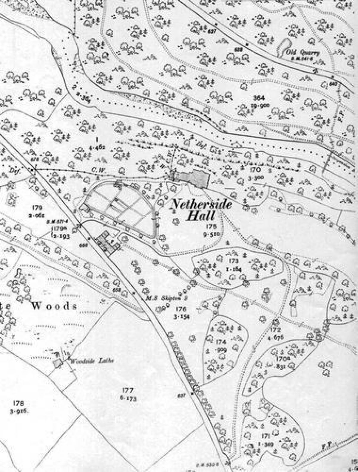
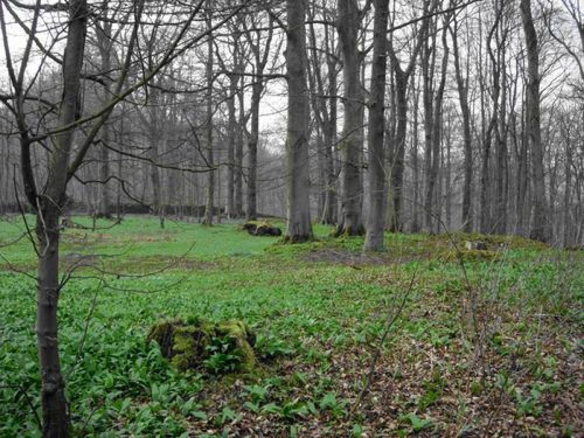
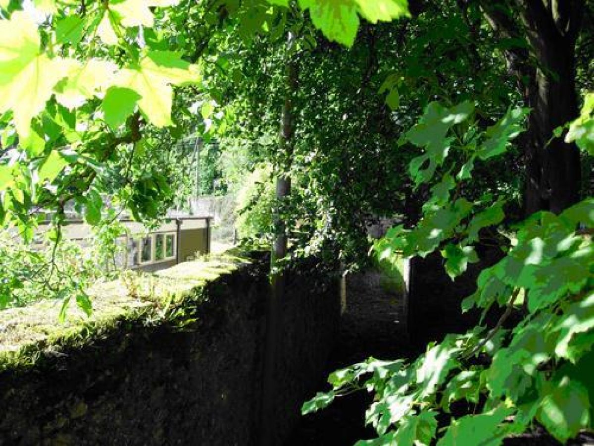
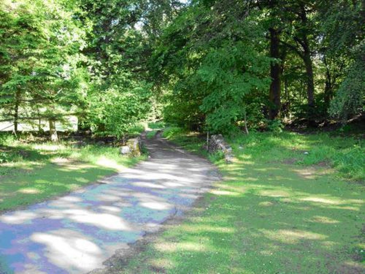
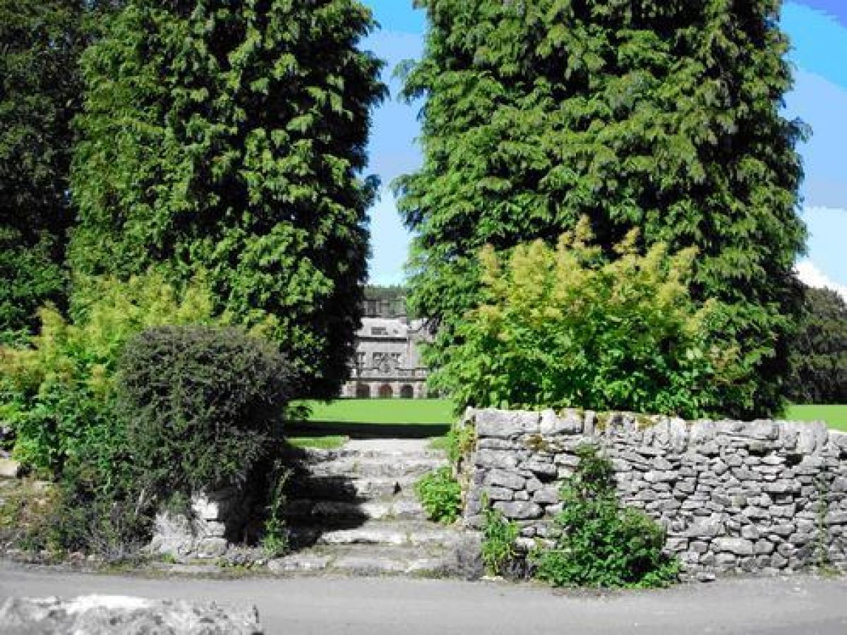
Netherside Hall was originally approached through entrance gates off the Threshfield-Kilnsey road well to the south of the house. These gates are now disused. The drive winds northwards through defined plantations of mixed woodland before turning north-westwards, the view of the house being screened by the plantations. This ensured that the house remained out of the visitor's sight for most of his journey through the park. This surprise view has been marred by a comparatively modern conifer plantation on the east side of the house. The drive crosses, at the half way mark, a now overgrown track running west to the coach house and eastwards towards Threshfield. The present entrance to the hall leaves the Threshfield-Kilnsey road near the stable block, now school rooms, passing between it and the straight wall of the D-shaped kitchen garden before curving to join the original entrance drive. A holly hedge masked the kitchen garden wall from the present drive. Some of the hollies still survive as separate trees.
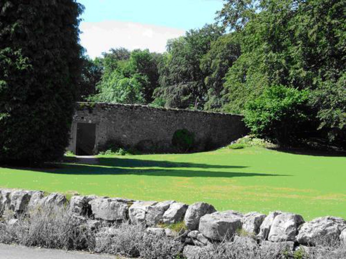
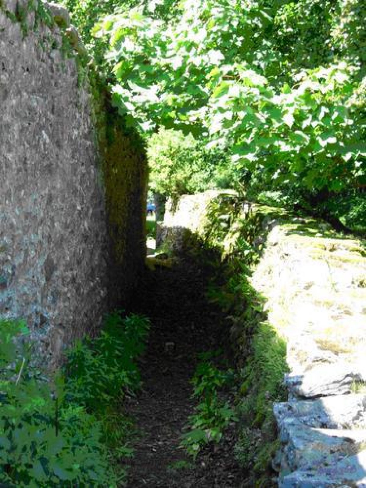
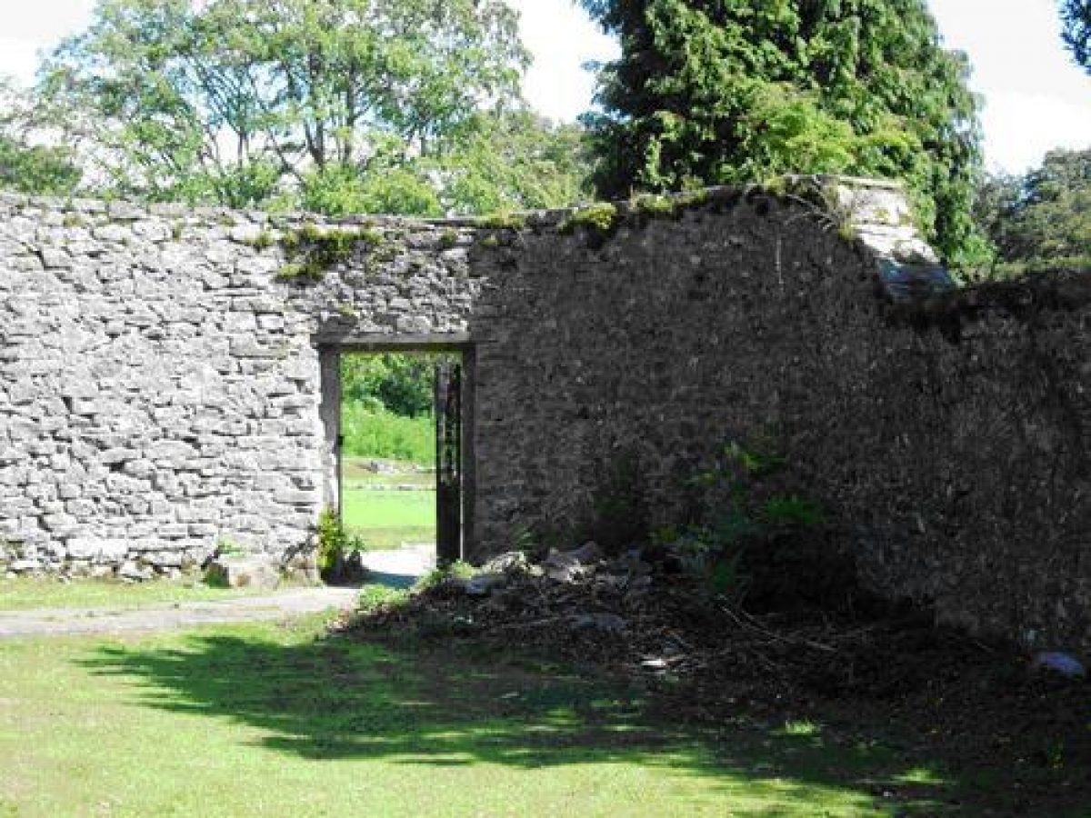
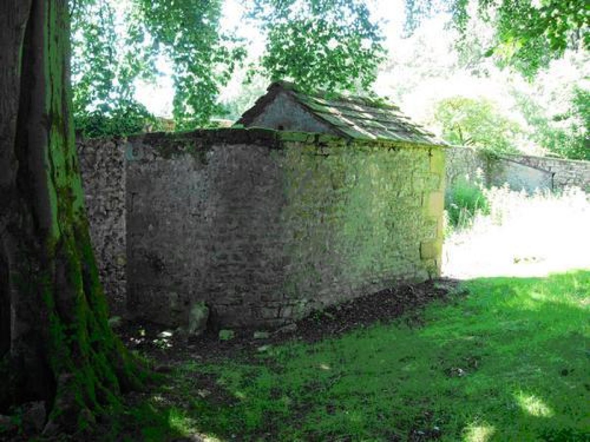
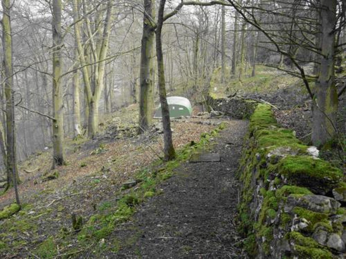
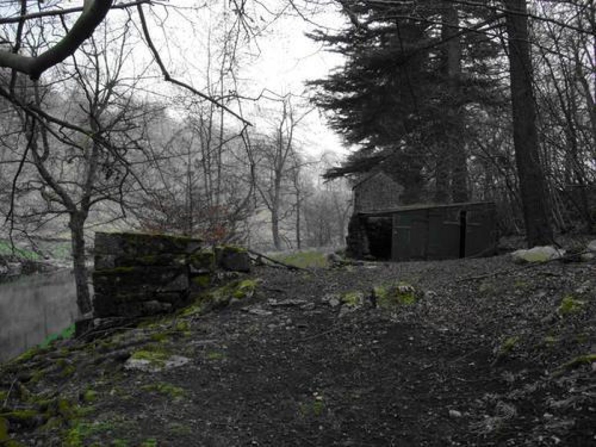
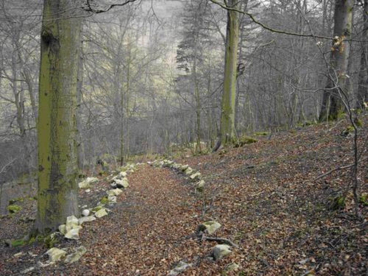
Outside the eastern extremity of the D-shaped walled garden a flagged path leads from the drive beside a small circular pond to a curious feature of Netherside. This is semi-sunken track which skirts the semi-circular wall of the kitchen garden. This path is enclosed by the kitchen garden wall on one side and a second wall built to screen it from the lawns in front of the house, possibly to prevent garden staff from being seen by members of the family and visitors. The track passes a well-built free-standing stone structure, possibly a privy, before continuing past two other garden buildings, one a bothy, attached to the wall of the kitchen garden, eventually reaching the gardener's cottage and the western extremity of the walled garden.
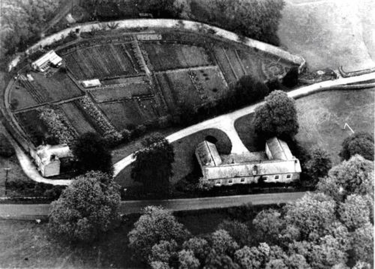
An aerial photograph taken around 1950 shows the walled garden little altered from the layout depicted on the 1909 map. However, there appear to be only two greenhouses, but beds were still planted and trees espaliered against the curved wall. There were originally three entrances into the kitchen garden: one at the south-east corner near the drive, presumably for use by the family, a second from the bothy and the third beside the gardener's cottage. A large entrance has been made in the centre of the curving wall, giving access to classrooms and a hard surfaced play area. Consequently virtually no original features of the interior of the kitchen garden survive.
There does not appear to have been a separate flower garden, most of the grounds being planted with forest trees. However there are remains of a rockery on the bank opposite the south-west front of the house.
- Visitor Access, Directions & Contacts
Owners
North Yorkshire County Council
County Hall, Northallerton, North Yorkshire, DL7 8AD
- History
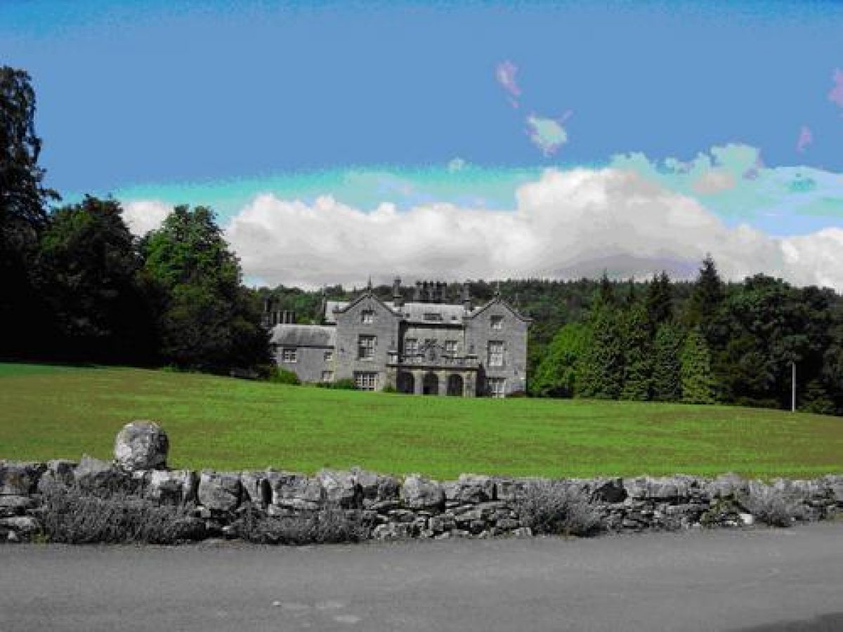
Netherside Hall was built around 1820 by Alexander Nowel, who had made his fortune in India. He leased the land from the Atkinson family of Linton House. The house was probably designed by George Webster of Kendal. The 1878 edition of Whitaker's History of Craven includes a fine engraving of Netherside Hall when it was the seat of the Reverend Thomas Whitaker Nowel. In 1912 Netherside was bought by Clement Holdsworth of the wool firm J. Holdsworth of Halifax. He had been, since 1900, the owner of the Scargill Estate, and he bought Netherside as his country residence.
- Features & Designations
Designations
The National Heritage List for England: Listed Building
- Reference: 4/104
- Grade: II
Features
- School (featured building)
- Description: Netherside Hall was built around 1820 by Alexander Nowel, who had made his fortune in India. The house was probably designed by George Webster of Kendal.
- Earliest Date:
- Latest Date:
- Kitchen Garden
- Description: The internal features no longer survive.
- Drive
- Description: The drive winds northwards through defined plantations of mixed woodland before turning north-westwards.
- Plantation
- Description: The view of the house is screened by the plantations.
- Stable Block
- Description: This is now school rooms.
- Hedge
- Description: A holly hedge masked the kitchen garden wall from the present drive. Some of the hollies still survive as separate trees.
- Path
- Description: This is semi-sunken track which skirts the semi-circular wall of the kitchen garden.
- Privy
- Description: There is a well-built free-standing stone structure, possibly a privy.
- Bothy
- Key Information
Type
Garden
Purpose
Ornamental
Principal Building
Education
Survival
Part: standing remains
Civil Parish
Threshfield