Introduction
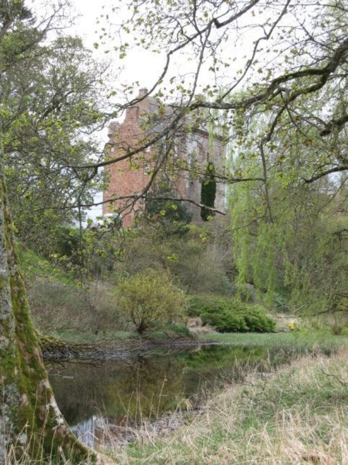
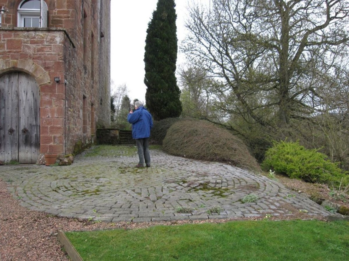
The castle dates from the 15th century and was restored in the 1970s after being unoccupied for some considerable time. The grounds of Inverquharity castle were designed and planted after the restoration and as such, they do not conform to the traditional designed landscape of the 17th and 18th centuries.
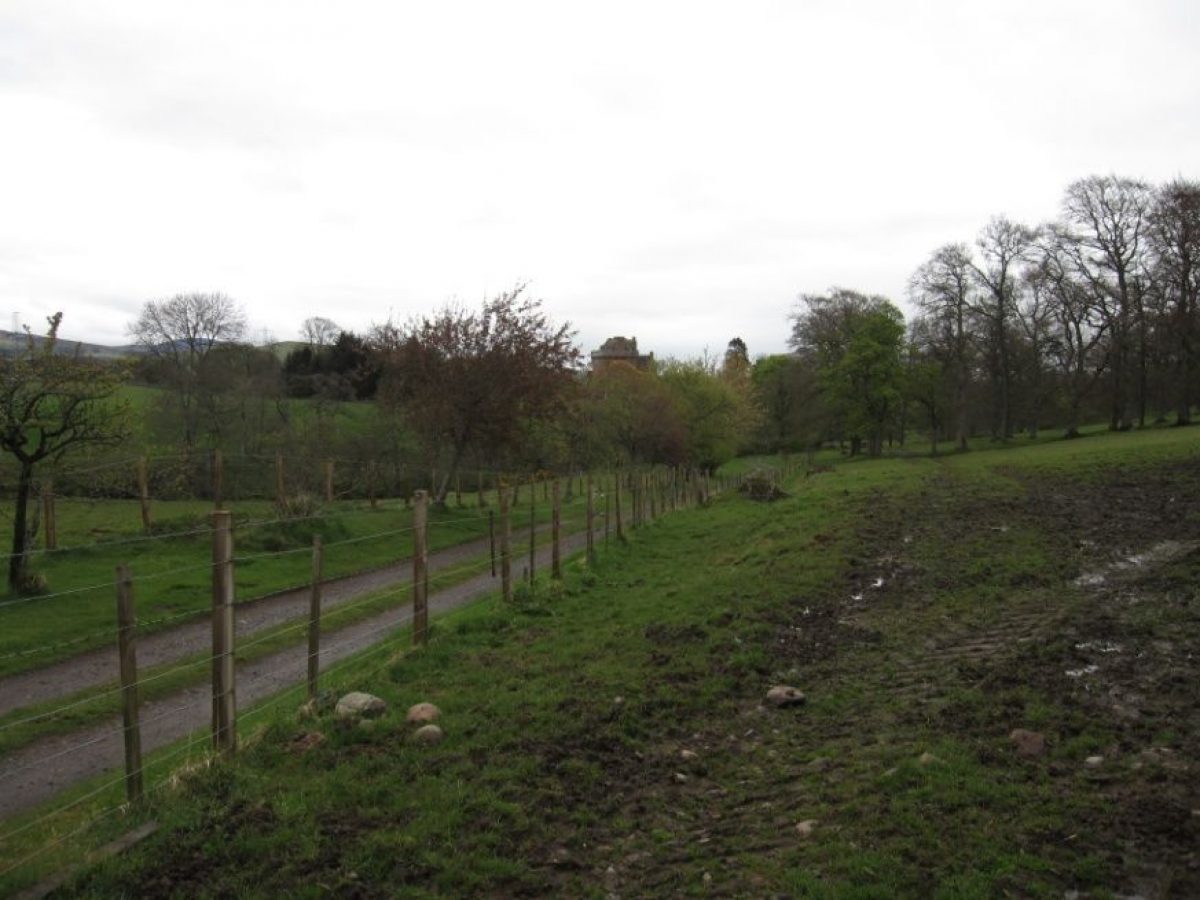
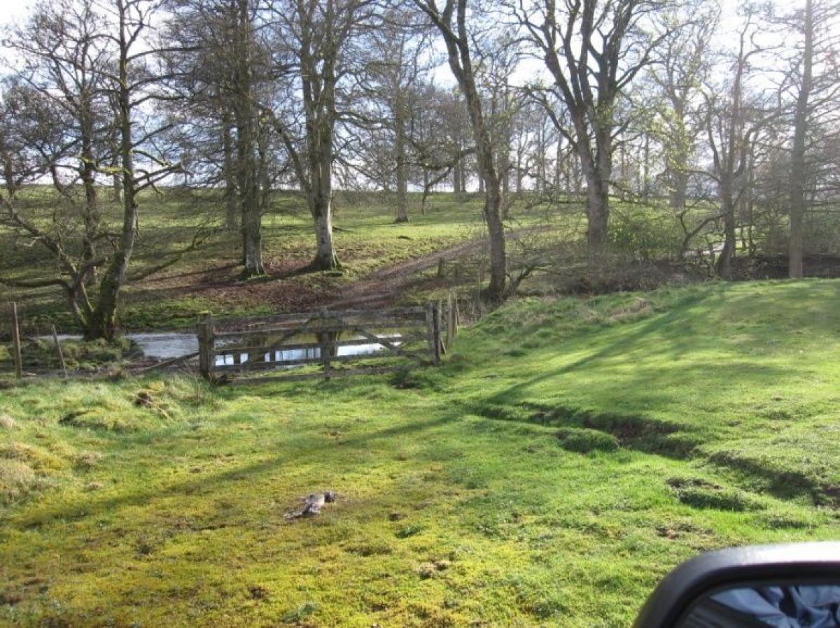
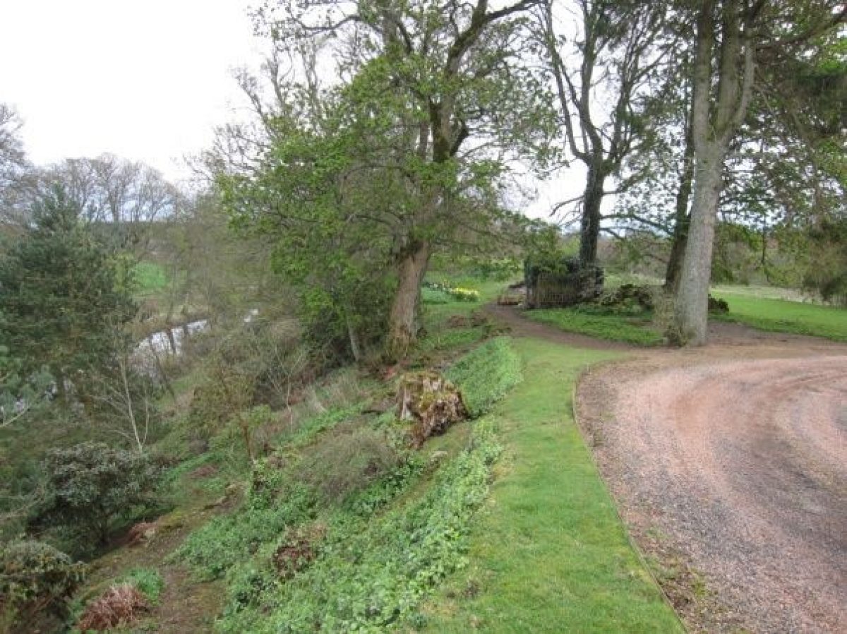
The castle stands on a level raised platform or small promontory in a defensive position that would have given extensive views all round. An escarpment drops some 15 to 20 metres steeply on the north-east and the ground below this is on the same level as the river South Esk which is less than half a Kilometre away. At some time, it may have been that the river flowed much closer to the castle. On the south side, the slope drops more gradually towards the Carity burn. The drive crosses the Carity burn to the castle.
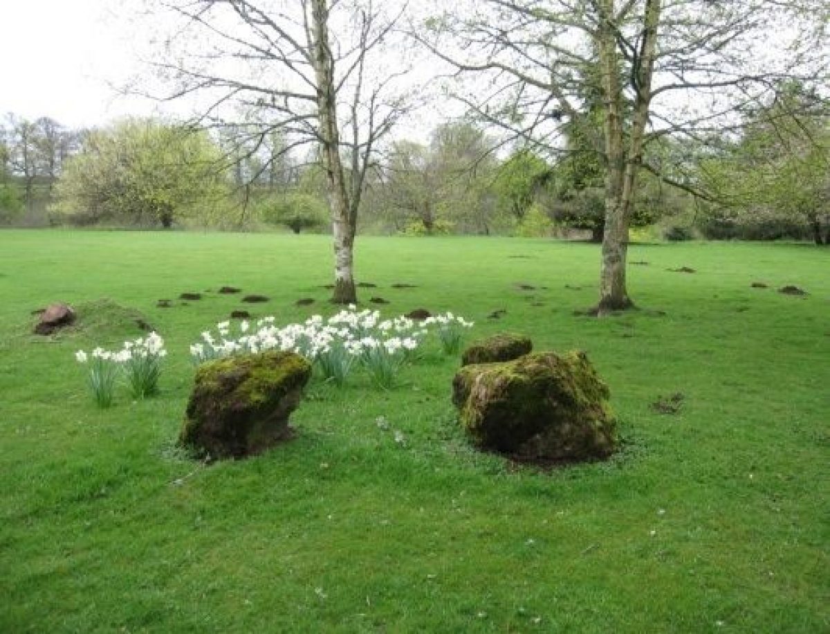
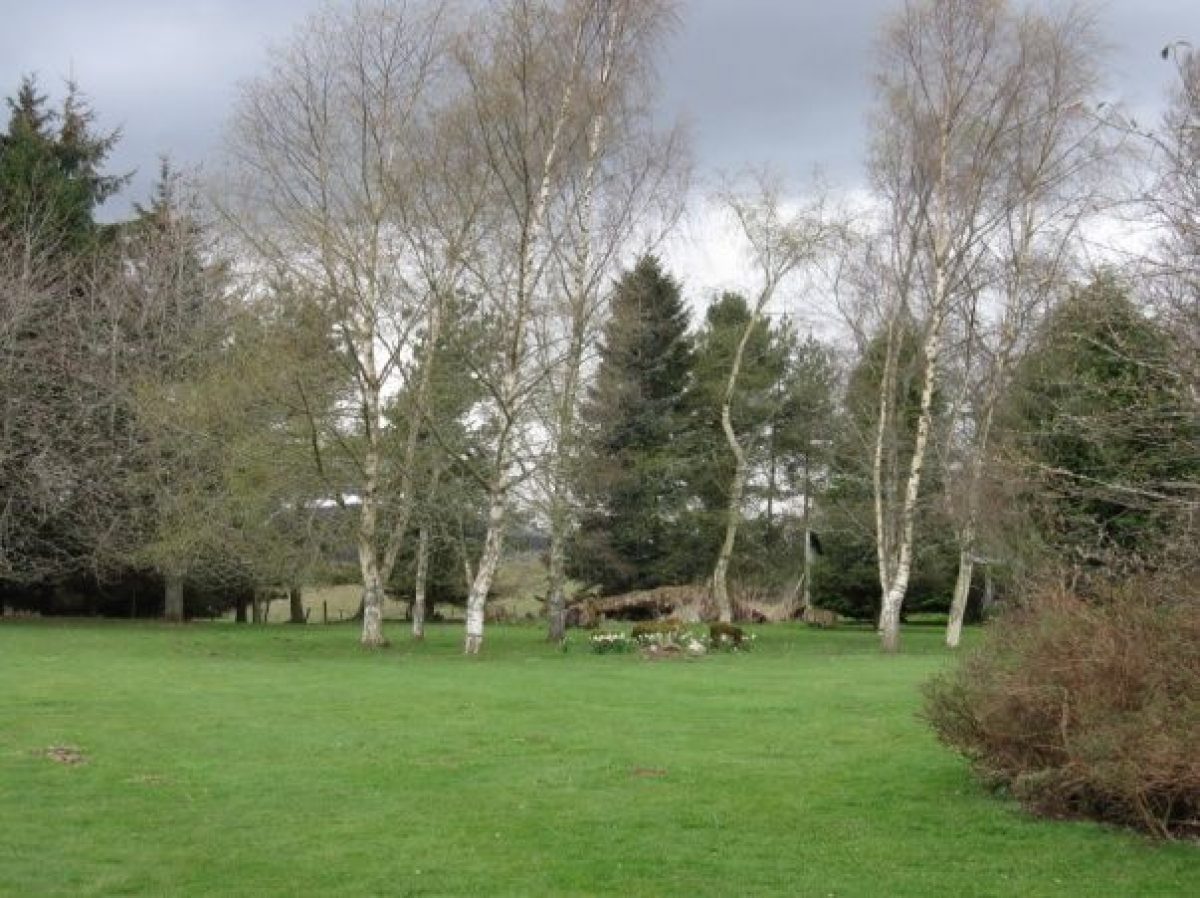
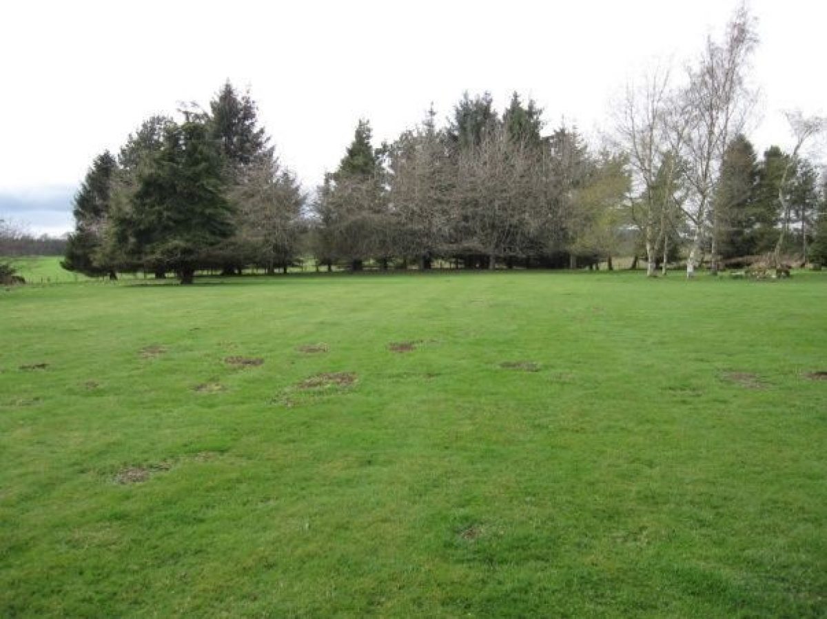
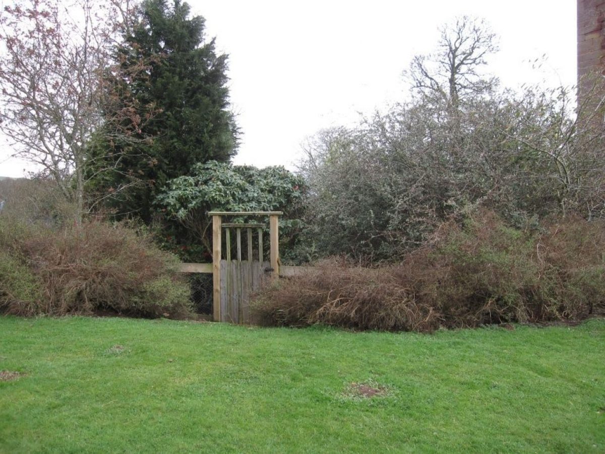
The main area of open garden is grassed to the west-north-west and again to the east. The slope of the escarpment to the north-east has been planted in a natural way and informal paths lead down to the lower level where there is a large pond. The pond was made on a boggy area and sits in a natural setting. From the main grassed area in the west-north-west, there is a ‘gully' leading to the lower level. This gully is less steep than the escarpment and, although informal in appearance, has been planted with a very specific design to complement the landscape.
Much of the planting depends on thwarting rabbit and deer.
Further details about Inverquharity Castle are available on the Royal Commission on the Ancient and Historic Monuments of Scotland website http://canmore.rcahms.gov.uk/en/site/33734/details/inverquharity+castle/
REFERENCES
1. MAPPED SOURCES
Unless otherwise stated all maps referenced are from the online National Library of Scotland Map Collectionhttp://maps.nls.uk
1583-96 Timothy Pont: Middle Strathmore shows Innerwharraty
1636-1652 Robert Gordon: Brae of Angus and the Height of Angus shows Innerharety
1678 (circa) Robert Edward: The Shire of Angus shows Innercarrite
1745 H. Moll: The Shire of Angus or Forfar shows C. Innercarrite
1745 Roy Military Survey of Scotland shows Invercarrathy
1794 John Ainslie: Map of the County of Forfar or Shire of Angus shows Inverquharity
1825 John Thomson: Northern Part of Angus Southern Part shows Inverquardy
1850 James Knox: Map of the Basin of the Tay shows Inverquharity Cas.
1859 Ordnance Survey 25 inches to mile surveyed 1859 published 1865 Kirriemuir XXXII.1 & XXXII.2
1900 Ordnance Survey 25” to mile revised 1900 published 1902 Forfarshire 032.01 & 032.02
1922 OS 25” to mile revised c1922 published 1924 Forfarshire 032.01 & 032.02
2012 Bing Maps
2. PRIMARY & DOCUMENTARY SOURCES
1857 RCAHMS 194 - Society of Antiquaries of Scotland. A collection of masons’ marks from various places including Inverquharity Castle (14 marks recorded) - (note that in 2012, a local project is ongoing to record the masons’ marks – over 700 have been found)
1867 Angus Archives MS 720/24/29/25 List of trees in the Birk Hill plantation at Inverquharity and at the bridge.
1918 Angus Archives MS 720/24/29/2 & 4 Various leases of Inverquharity Mill farm and Mill House
3. HISTORICAL ILLUSTRATIONS & PICTORIAL SOURCES
Angus Archives 747/45/590 Inverquharity Castle - Reversed scan of 747/45/592
Angus Archives747/45/591 Castle of Invercarity - old sketch shows castle & cottage? NB cottage on left in foreground. Original print by R. Scott. Possibly early 19th century
Angus Archives 747/45/592 Inverquharity Castle -As postcard
Angus Archives 747/45/593 Inverquharity Castle -As Orr photo with cottage
Angus Archives 747/45/594 Inverquharity Castle postcard
Angus Archives 747/45/595 Inverquharity Castle postcard copy
Angus Archives 747/45/596 Inverquharity Castle postcard postmarked 1910
Angus Archives 747/45:41 Inverquharity Castle postcard not postmarked
Angus Archives 747/45/220 Inverquharity Castle from back?
19C Late 19c drawing of Inverquharity Castle from MacGibbon & Ross
1869 RCAHMS AND 162/12 P Photographic copy of watercolour showing
general view from SE
1878 RCAHMS AND 162/1 P Photographic copy of drawing showing general view of proposed additions (not built)
1878 RCAHMS AND 162/2 P to AND 162/9 P Seven photographic copies of drawing showing floor plans of proposed additions (not built)
1878 RCAHMS AND 162/10 P Photographic copy of drawing showing rear elevation
1878 RCAHMS AND 162/11 P Photographic copy of drawing showing front elevation
1885 RCAHMS AN 1284 Historic photographic view (print)
1890 RCAHMS B 60448 Copy of historic photograph showing view of castle and lodge from south-east Inverquharity Castle Page 11 of 31
1890 RCAHMS PA 104/21V/3 Photograph album page 21v/3. View from south-east of castle and lodge
1890 RCAHMS PA 104/21V/4 Photograph album page 21v/4. General view
1890 RCAHMS B 60451 Copy of historic photograph showing general view
1895 RCAHMS AN 3000 Historic photograph view
1900 RCAHMS AN 1237 Copy of historic photograph showing general view
1900 RCAHMS PA 216/15/2 General view, Inverquharity. Photograph album No. 216
1909 Battlements from The Regality of Kirriemuir
1909 Inverquharity Castle from The Regality of Kirriemuir
1909 RCAHMS RAB 164/OP91 Opposite page 91, photograph of Inverquharity Castle
Pre-1914 Inverquharity Castle; A photograph taken before the great war. Uploaded to RCAHMS by ©Brian McGarrigle
1930 RCAHMS AN 1121 View from NNE
1930 RCAHMS AN 1122 View from N
Undated RCAHMS AN 1283 PC General postcard view
1937 RCAHMS G 91733 PO General view from N
1937 RCAHMS G 91734 PO General view from NE
1937 RCAHMS G 91735 PO General view from S
1937 RCAHMS G 91736 PO General view from SE
1937 RCAHMS G 91737 PO Detail of lower wall from SE
Undated RCAHMS G 91755 CS View from SE (glass plate slide)
Undated RCAHMS G 91756 CS View of water garden (glass plate slide)
Undated RCAHMS G 91757 CS View of grounds (glass plate slide)
Undated RCAHMS G 91758 CS Photographic copy of drawing of plan of lands (film)
1955 RCAHMS AN 1548/5 View from SE
1955 RCAHMS AN 1548/6 View from SE
1955 RCAHMS AN 1549/7 General view from SE
1955 RCAHMS AN 1549/8 General view from SE
1955 RCAHMS AN 1549/9 General view from SE
1955 RCAHMS AN 1550/10 View from SE
1955 RCAHMS AN 1550/11 Detail of upper wall
1955 RCAHMS AN 1552/16 View from W
1955 RCAHMS AN 1554/23 General view from SW
1955 RCAHMS AN 1555/25 View from SW
1955 RCAHMS AN 1555/26 View from S
1955 RCAHMS AN 1555/27 View from SE
1955 RCAHMS AN 1556/28 View of Yett
1955 RCAHMS AN 1558/6 General view from S
1955 RCAHMS AN 1564/18 View of roof
1955 RCAHMS AN 1564/19 View of roof
1955 RCAHMS AN 1564/20 Detail of gable
1955 RCAHMS AN 1565/22 View of capehouse
1955 RCAHMS AN 1565/23 View of capehouse
1957 RCAHMS DC 52435 Undergraduate student project. School of Architecture. Dundee College of Art. Measured drawing. Elevations and sections.
1957 RCAHMS DC 52436 Undergraduate student project. School of Architecture. Dundee College of Art. Measured drawing. Plans and details.
1970 RCAHMS AN 1621 General view from SE
1970 RCAHMS AN 1622 General view from S
1970 RCAHMS AN 1623 General view from NW
1970 RCAHMS AN 1624 View of great hall on second floor
1974 RCAHMS AN 6947 PO Inverquharity Mill – General view showing water wheel
1974 RCAHMS AN 6948 PO Inverquharity Mill – View of waterwheel and lade
1974 RCAHMS AN 6949 PO Inverquharity Mill – General view
1974 RCAHMS AN 6950 PO Inverqhuarity Mill – View of waterwheel
1974 RCAHMS D 36388 CN Oblique aerial view centred on the tower-house with watermill adjacent, taken from WSW
1974 RCAHMS SC443411 Inverquharity Mill General View from S (as AN 6947 PO)
1974 RCAHMS Inverquharity Mill View of 6-spoke, low breast waterwheel (as AN 6590 PO)
1974 RCAHMS SC443414 Inverquharity Mill View of lade/ launder to waterwheel(as AN 6948 PO)
1974 RCAHMS SC443415 Inverquharity Mill General View (as AN 6949 PO)
1975 RCAHMS A 10364 General view of Inverquharity Bridge
1977 RCAHMS A 78653 View from S
1977 RCAHMS A 78654 General view from S
1977 RCAHMS A 78655 General view from W
1979 RCAHMS AN 3780 PO General view from SW
1979 RCAHMS AN 3781 General view from SE
1983 RCAHMS AN 7013 Oblique aerial view
1983 RCAHMS AN 7103 CS Aerial view
1983 RCAHMS AN 7104 CS Aerial view
1983 RCAHMS AN 7105 CS Aerial view
1983 RCAHMS AN 7108 CS Aerial view
1983 RCAHMS AN 7109 CS Aerial view
1986 RCAHMS A 28377 CS Aerial view
1986 RCAHMS A 28379 CS Aerial view
1986 RCAHMS A 28384 CS Aerial view
1986 RCAHMS A 28385 CS Aerial view
1986 RCAHMS A 28386 CS Aerial view
1986 RCAHMS A 28387 CS Aerial view
1986 RCAHMS A 30667 Aerial view
1986 RCAHMS A 30668 Aerial view
1986 RCAHMS A 30669 Aerial view
1986 RCAHMS A 30670 Aerial view
1986 RCAHMS A 30671 Aerial view
1986 RCAHMS A 30672 Aerial view
1986 RCAHMS A 30673 Aerial view
1986 RCAHMS A 30674 Aerial view – now digitized as AT000592
1986 RCAHMS A 30675 Aerial view
1998 RCAHMS D 36386 CN Oblique aerial view centred on the tower-house, taken from the SE
1998 RCAHMS D 36387 CN Oblique aerial view centred on the tower-house, taken from the NE
1998 RCAHMS D 36388 CN Oblique aerial view centred on the tower-house with water-mill adjacent, taken from the WSW
1998 RCAHMS D 36389 CN Oblique aerial view centred on the tower-house, taken from the SSW
2010 RCAHMS DP097077 – DP097085 A set of 8 digital aerial photographs showing the castle from all angles
2011 RCAHMS DP 097581 – DP097591 A set of 11 digital photographs taken at ground level showing the castle from all angles
4. BIBLIOGRAPHY OF PUBLISHED SOURCES
Easton, the Rev. T. D. D. 1834-1845 The New Statistical Account of Scotland, Kirriemuir, On-line edition, Vol. 12, 175
Forfar & District Historical Society 1969 Account of the Shire of Forfar circa 1682 by John Ochterlony of the Guynd, Oliver McPherson Ltd, 15-16
Grant, A. C. October 1971 Dispatch Office Publication – Inverquharity Castle
Groome, F.H. 1896 Ordnance Gazetteer of Scotland, On-line edition edited by Mike Spathaky, 318
Jervise, A.1853 The History and Traditions of the Land of the Lindsays, Sutherland & Knox, 78, 275-6
Macgibbon, D. & Ross, T. 1887 The Castellated and Domestic Architecture of Scotland from the 12th to the 18th centuries
Mackenzie, F. 2002 Old Kirriemuir, Stenlake Publishing
Ogilvy, The Rev. T. 1791-1799 The Old Statistical Account of Scotland, Kirriemuir, On-line edition, Vol 11, 198
Reid, A. 1909 The Regality of Kirriemuir, John Grant, 14, 25, 217, 326-330, 389-390
RCAHMS, 1972, 1977 and 1984 Inverquharity Castle, Archeological Notes
Salter, M. 1995 The Castles of Grampian and Angus, Folly Publications, 141
Tranter, N. 1977 The Fortified House in Scotland. V. 4, Aberdeen, Angus, Kincardineshire, The Mercat Press
Warden, A.J. 1884 Angus or Forfarshire the Land and People Vol IV, Charles Alexander & Co, 105-107, 113
- Visitor Access, Directions & Contacts
Directions
Inverquharity Castle lies approximately three miles north east of Kirriemuir on an unnumbered road off the B955. It lies at the confluence of the Carrity Burn and the Prosen Water.
- History
A house was built on the lands of Inverquharity in the 1440s by the Ogilvy family and fortified with a yett (iron gate) in 1444. In 1445 the east wing was destroyed by the Lindsays.
The Castle was vacated by the Ogilvies in the 1680s in preference for their new mansion house at Kinnordy and 1782 was sold, along with Kinnordy House to Charles Lyell. By 1818 the Mains of Inverquharity were derelict.
In 1878 a scheme was drawn up for a new house incorporating the existing tower house as an alternative to rebuilding Kinnordy. This was not carried out. In the 19th century the remains of the east wing were demolished and the stone used to repair Inverquharity farm.
Between 1940-45 the trees around the castle were felled. In 1970 the tower house was restored, including the re-instatement of the east wing, and the grounds landscaped.
- Features & Designations
Plant Environment
- Environment
- Woodland Garden
Style
Informal
Features
- Fortified House (featured building)
- Description: Four-storey, (formerly L-plan), tower-house with iron yett (gate).
- Latest Date:
- Key Information
Type
Garden
Purpose
Ornamental
Plant Environment
Environment
Principal Building
Domestic / Residential
Survival
Extant
Hectares
4.79
Open to the public
Yes
Electoral Ward
Kirriemuir East
- References
Contributors
Alice Bremner, Angus Landscape Survey Group