Introduction
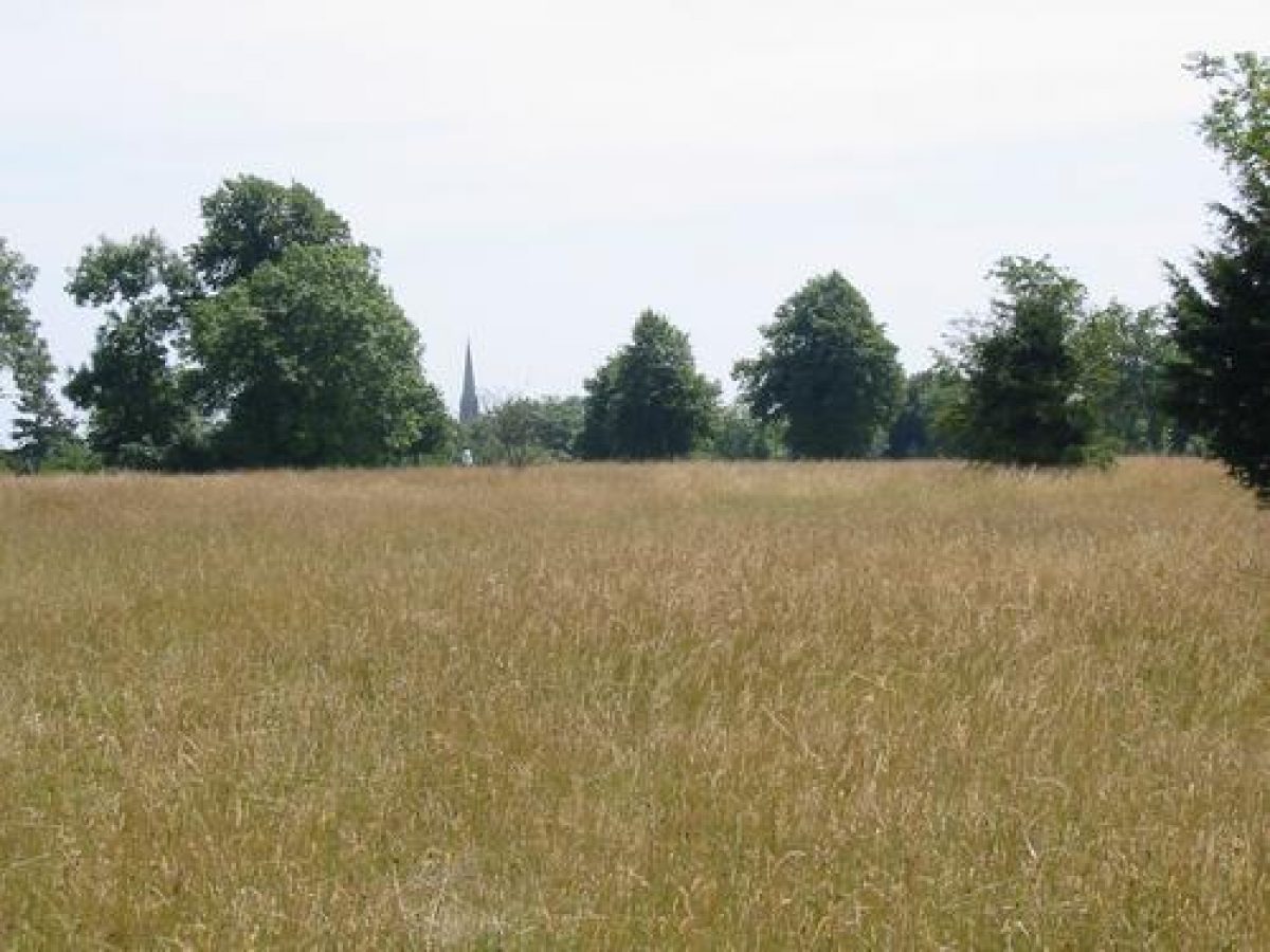
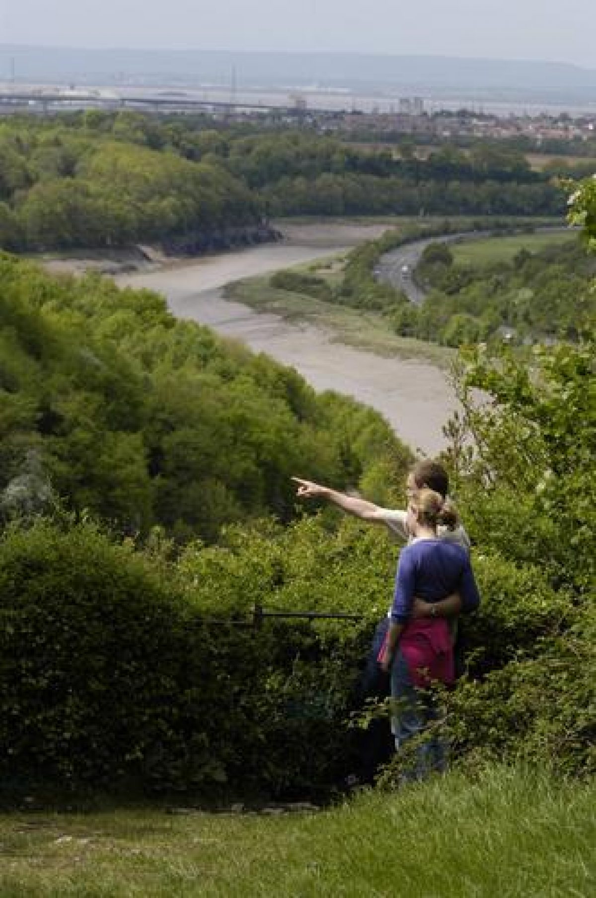
The Downs are a muncipal open space given over for public use in 1861. Extensive field archaeology has been carried out on the site, with evidence for leadworking and quarries recovered. There are many mature trees and fine views.
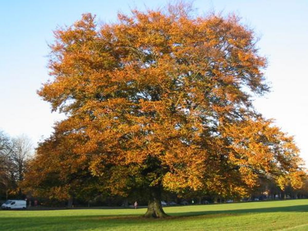
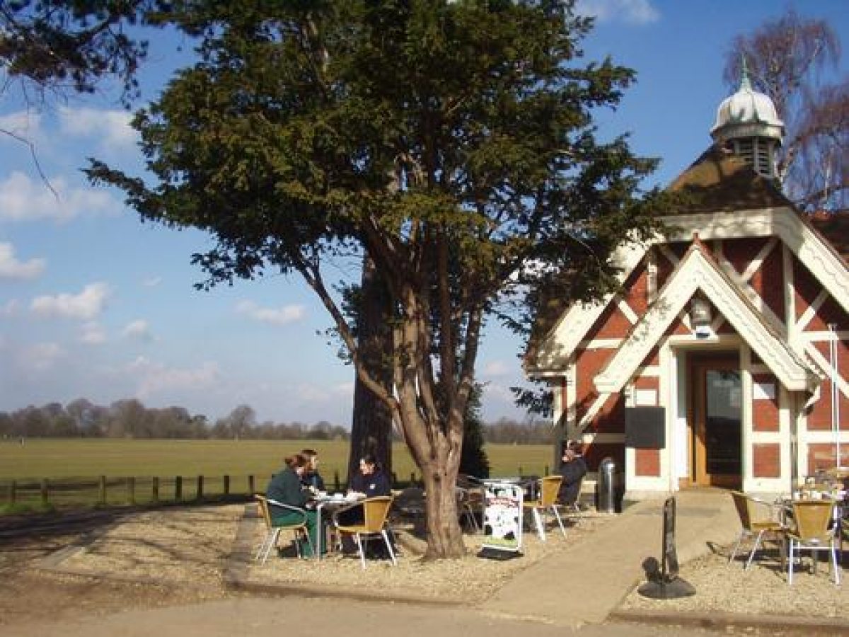
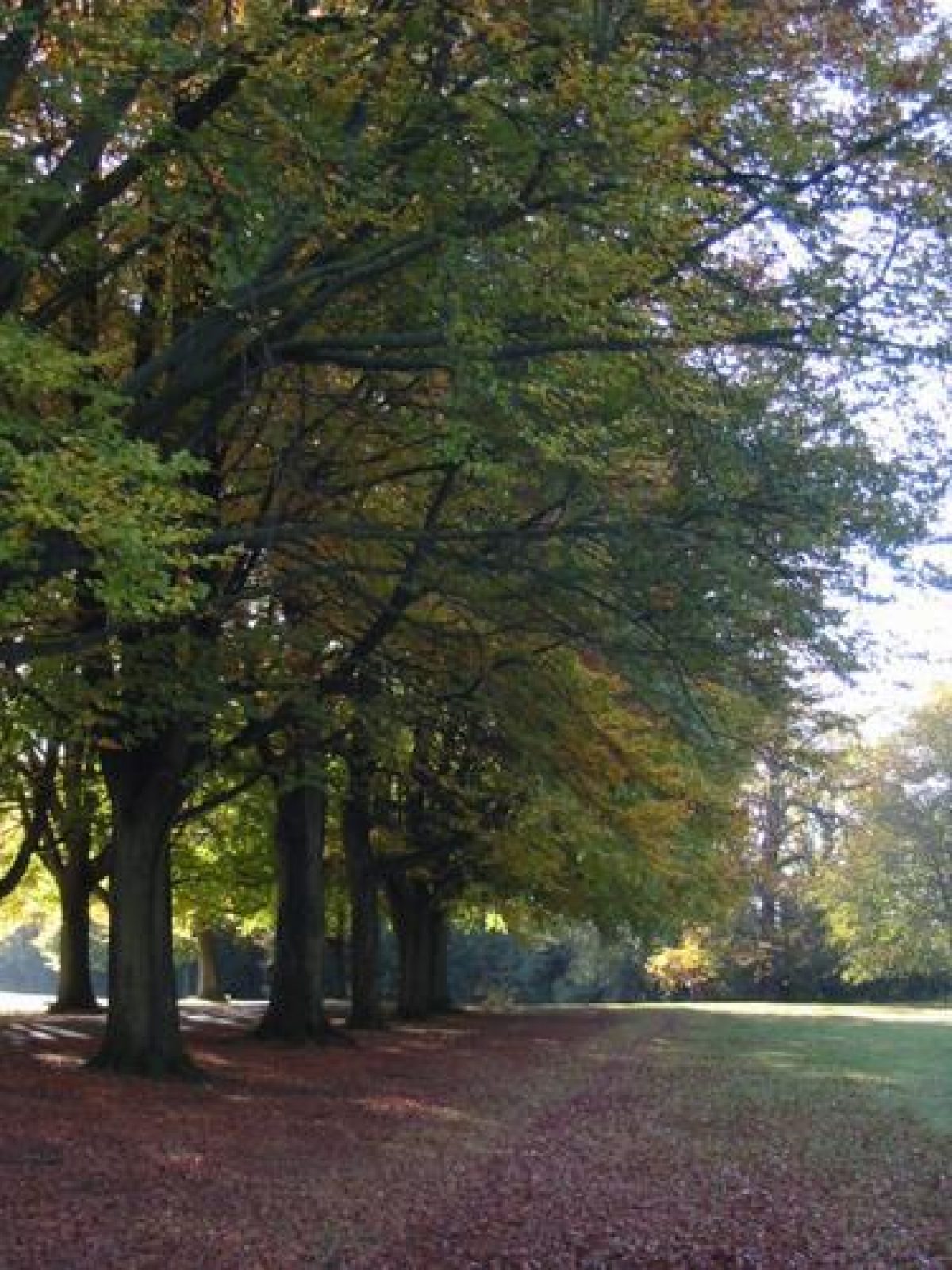
Clifton Down and Durdham Down are made up of 162 hectares of land bordered on the west by the Avon Gorge, and on all other sides by the suburbs of Bristol. There are patches of woodland, mostly on the western edge of the Downs, but most of the site is taken up by open grassland. Several roads open to traffic cross the Downs, or run alongside them. Often avenues of trees, typically horse chestnut, lime or London plane have been planted alongside the roads.
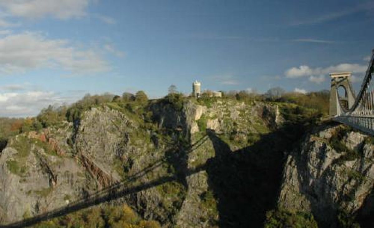
The Downs lie at a height of between 79 and 101 metres above sea level. There are extensive earthworks still visible in different places on the Downs, and in many places there are outcrops of rock clearly visible. A tunnel underneath the Downs carries the single line railway running from Temple Meads to the Severn beach. I.K. Brunel's suspension bridge across the Avon Gorge joins a road from Clifton and the Downs to the Leigh Woods on the other side of the Gorge.
The Downs are maintained by the Parks Department of Bristol City Council. The grass is cut regularly and the woodland is actively maintained.
- Visitor Access, Directions & Contacts
Access contact details
The Downs are a publicly owned space for communal use.
Directions
The Downs are on the edge of Bristol's city centre. From Park Street follow the Queen's Road and Whiteladies Road.
Owners
Bristol City Council
The Council House, College Green, Bristol, BS1 5TR
- History
The Downs have been used for centuries as a place for open air recreation and exercise, and also for pasture. Durdham Down belonged traditionally to the Lords of the Manor of Henbury, and Clifton to the Society of Merchant Venturers.
Both Downs were transferred to the City of Bristol by an Act of Parliament in 1861. Their use by the townspeople of Bristol was secured in perpetuity. The Society of Merchant Venturers surrendered their rights over Clifton Down gratuitously, while Durdham Down was sold for £15,000. The right of certain commoners to pasture sheep on the Clifton Down has not been exercised since 1925.
During the 19th and 20th centuries, residential building has surrounded the Downs. Their value as a large area of open space has increased correspondingly.
Period
- Post Medieval (1540 to 1901)
- Victorian (1837-1901)
- Associated People
- Features & Designations
Designations
Conservation Area
- Reference: The Downs
The National Heritage List for England: Listed Building
- Reference: Observatory
- Grade: II
Scheduled Ancient Monument
- Reference: Some features.
Features
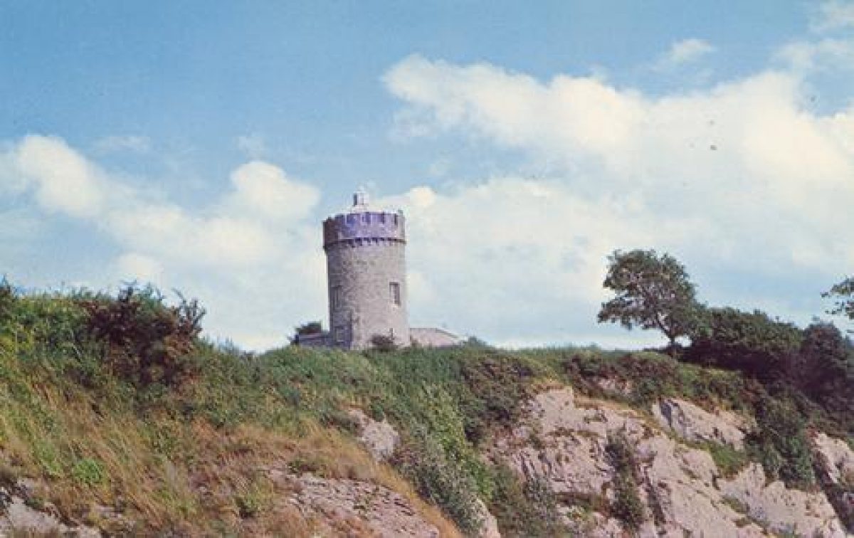
- Tower
- Description: This feature is an observatory. It stands on the highest point of the Downs, 101 metres above sea level. It was built by Mr. West, and consists of a round castellated limestone rubble tower, with one storey and a basement wing attached. It contains the entrance to the Giant's Cave, opened in 1837, which leads to an observatory platform in the side of the Avon Gorge. The observatory building now contains a shop and is rather dilapidated.
- Earliest Date:
- Latest Date:
- Fountain
- Description: The fountain stands on a corner of the Clifton Down next to the road which leads to the suspension bridge. It dates to the late 19th century. It has a 2 step granite plinth and an elaborate cast iron canopy decorated with verses and mottoes.
- Cenotaph
- Description: This feature is a cenotaph, which stands with an obelisk at the extreme south-east corner of Clifton Down. These two features stood originally in the gardens of Manilla Hall, Clifton, home of Sir William Draper (1721-1763).Sir William Draper was ordered by the Society of Merchant Venturers to look after the Clifton Down in 1766. He may have planted some of the older trees still standing there.The cenotaph commemorates the dead of the Indian campaign of the Seven Years War (1756-1763). It is a stone sarcophagus on four diagonal volutes surmounted by an urn. There are inscribed slate panels on each face. It is a very early war memorial.
- Earliest Date:
- Latest Date:
- Obelisk
- Description: The obelisk stands with the cenotaph at the extreme south-east corner of the Clifton Down. The obelisk is a monument to William Pitt and is inscribed with Latin prose in praise of him and his achievements. It stood originally in the gardens of Manilla Hall in the late 18th century. Together with the cenotaph, it was placed on Clifton Down in 1883.
- Earliest Date:
- Latest Date:
- Fountain
- Description: This feature is a commemorative drinking fountain. It stands at the junction of Westbury Road, Clifton Down Road and Bridge Valley Road. It was built in 1872 by G. and H. Godwin. It records the presentation of the Clifton Down by the Merchant Venturer's Society to the City of Bristol in 1861. It has a triangular Gothic structure of Bath stone with a pointed arch. This is supported by pink granite columns on each face. It bears the arms of the city, the Society of Merchant Venturers and of Alderman Proctor.
- Earliest Date:
- Latest Date:
- Fountain
- Description: This feature is a commemorative drinking fountain. It stands by the water tower on Stoke Road. It was erected in 1877 by the Bath and West of England Agricultural Society to commemorate their show of 1874. It is a tall Bath stone ashlar structure on a limestone and sandstone plinth, with a heavy cornice and granite basin. Below the cornice is a hand with five terracotta heads in roundels. The figures are two sheep, two cows and a horse.
- Earliest Date:
- Latest Date:
- Structure
- Description: This feature is an air shaft for the Clifton Down Tunnel which was opened in 1875. It is a circular pennant, stone rubble with a dressed cornice to the plinth and parapet. It is about 4.5 metres high. The worn inscription tablet is now illegible.
- Earliest Date:
- Garden Building
- Description: This feature is a shelter. It is a small wooden structure standing by the Westbury Road roundabout.
- Avenue
- Description: Often avenues of trees, typically horse chestnut, lime or London plane have been planted alongside the roads.
- Trees
- t
- Key Information
Type
Park
Purpose
Recreational/sport
Principal Building
Parks, Gardens And Urban Spaces
Period
Post Medieval (1540 to 1901)
Survival
Extant
Hectares
162
Open to the public
Yes
- References
References
- List of Buildings of Special Architectural Interest, City of Bristol, Avon
- {City Engineer's and Planning Officer's Report} (Bristol, 1963) City Engineer's and Planning Officer's Report (1962)
Contributors
E.T. Thacker
Avon Gardens Trust