Introduction
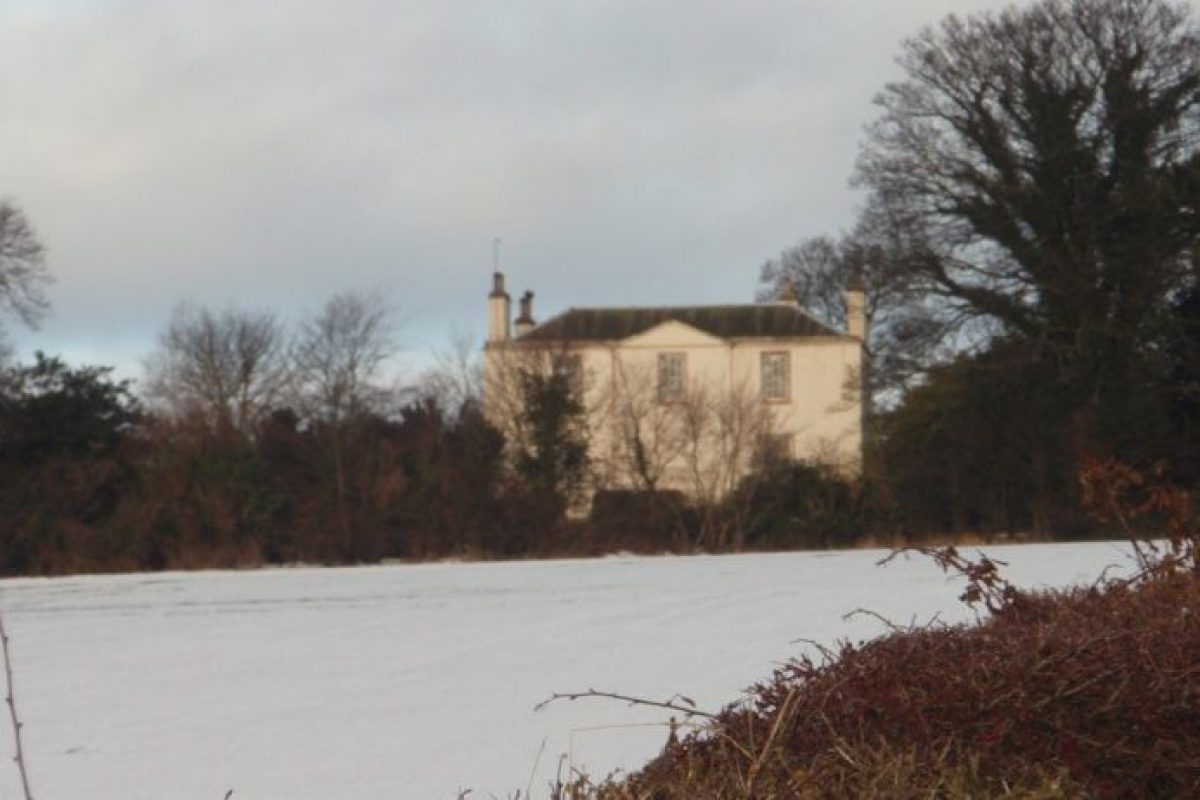
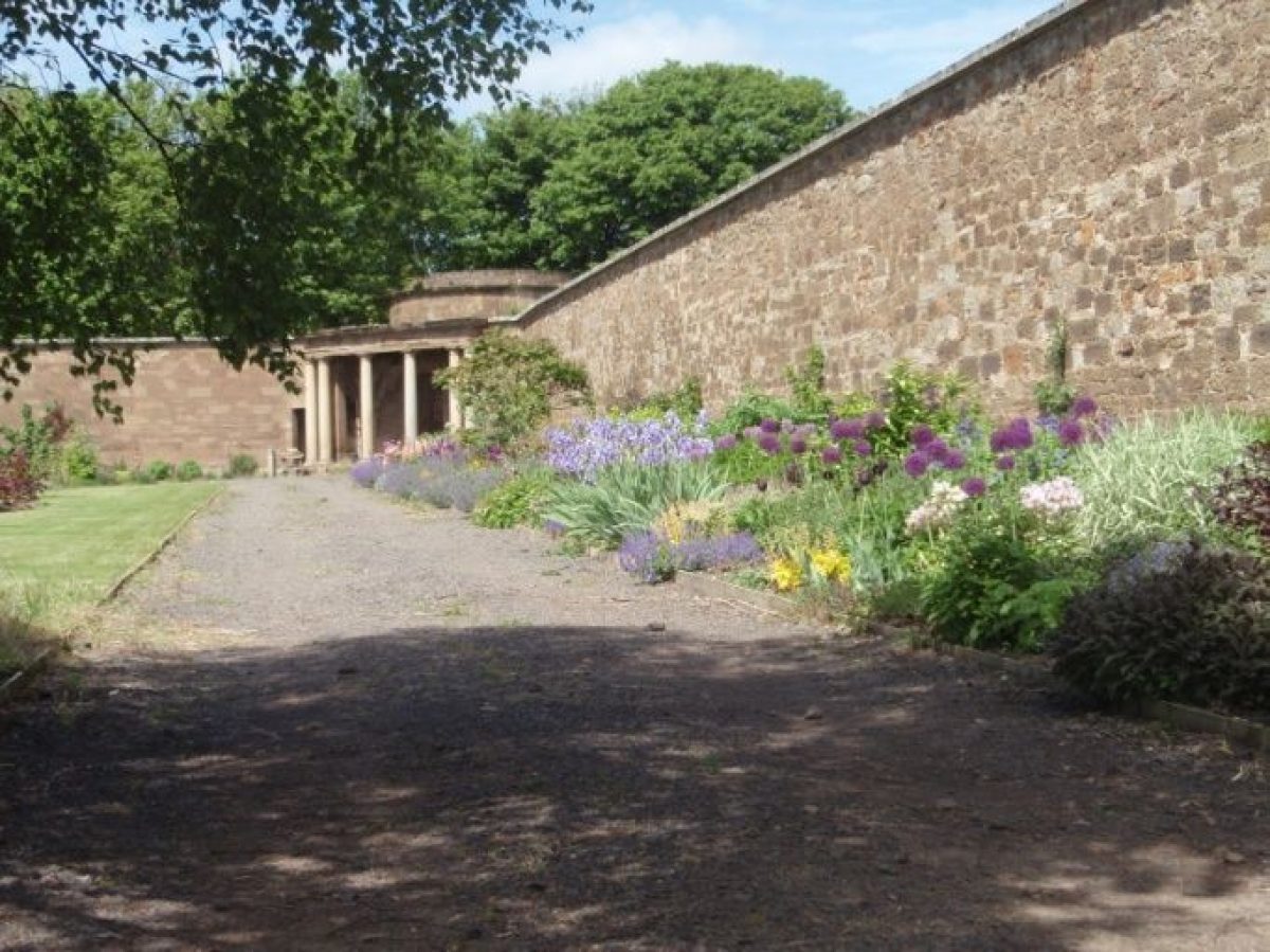
The remains of the mid-18th-century Amisfield Park lie immediately east of the town of Haddington. The house was demolished in 1924 and the parkland is now occupied by Haddington Golf Club. The walled garden is currently undergoing restoration.
Terrain
Gently sloping north towards River Tyne.
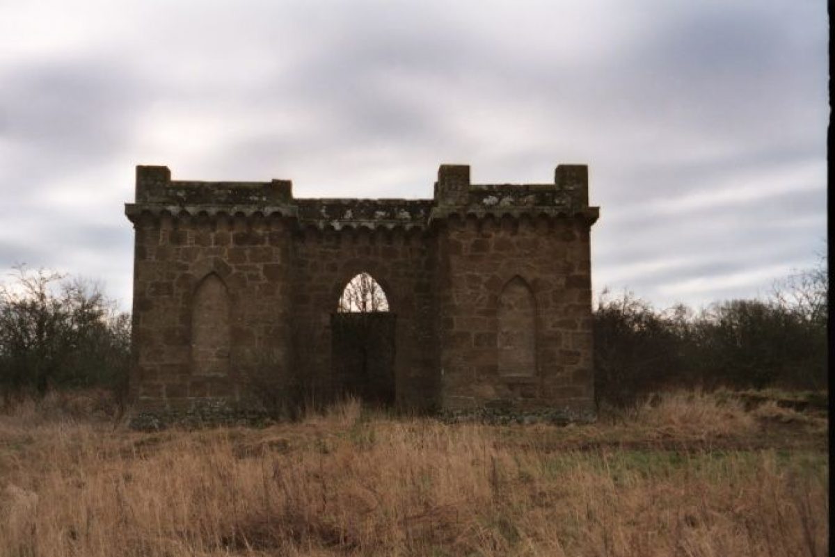
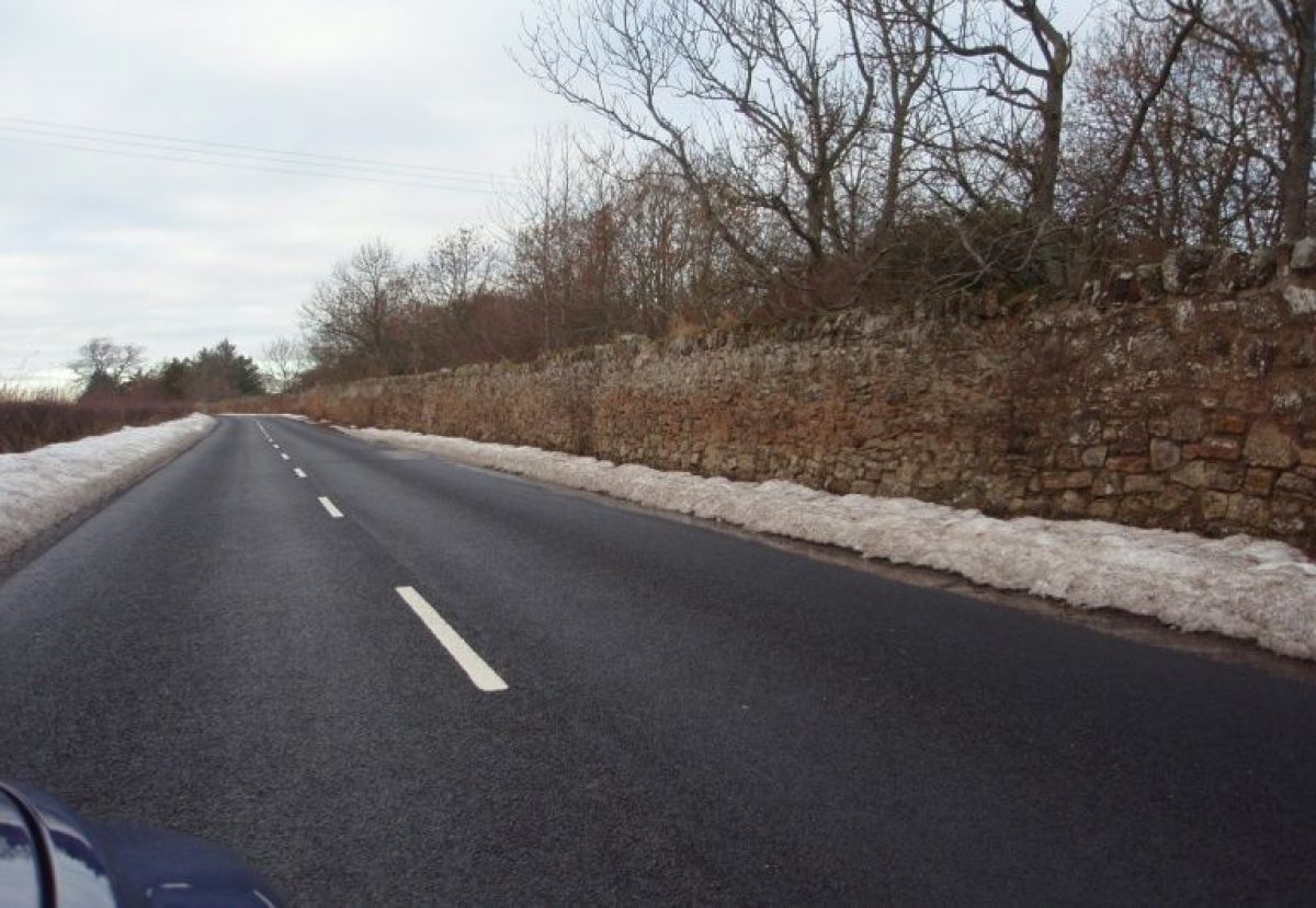
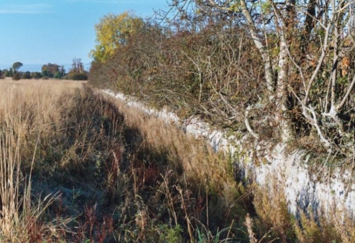
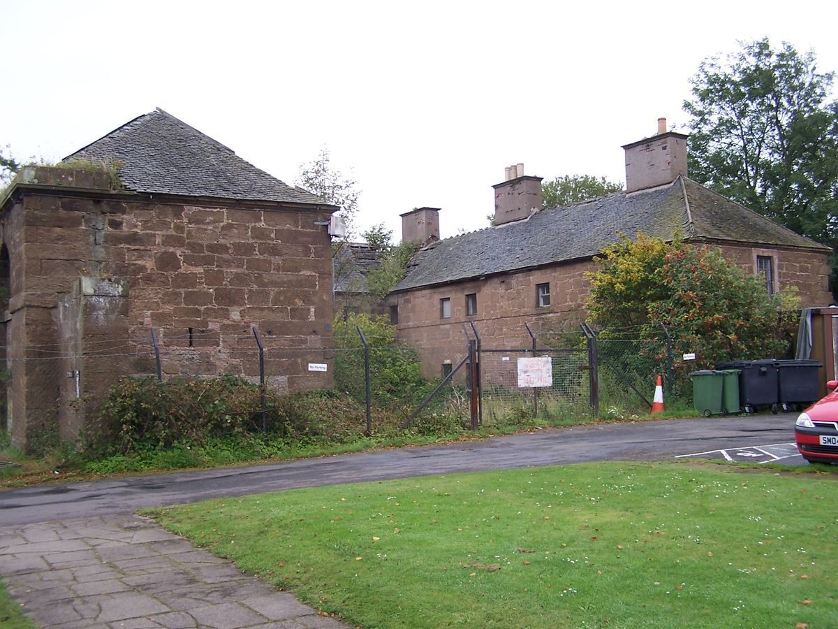
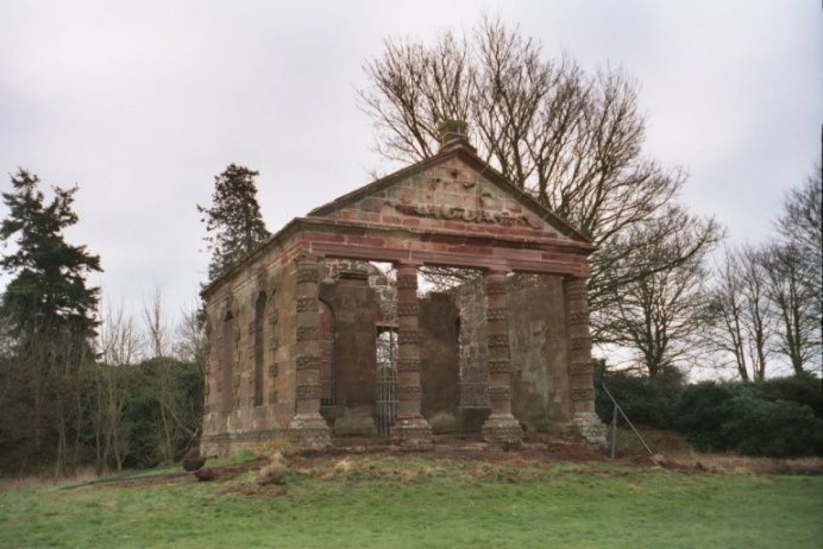
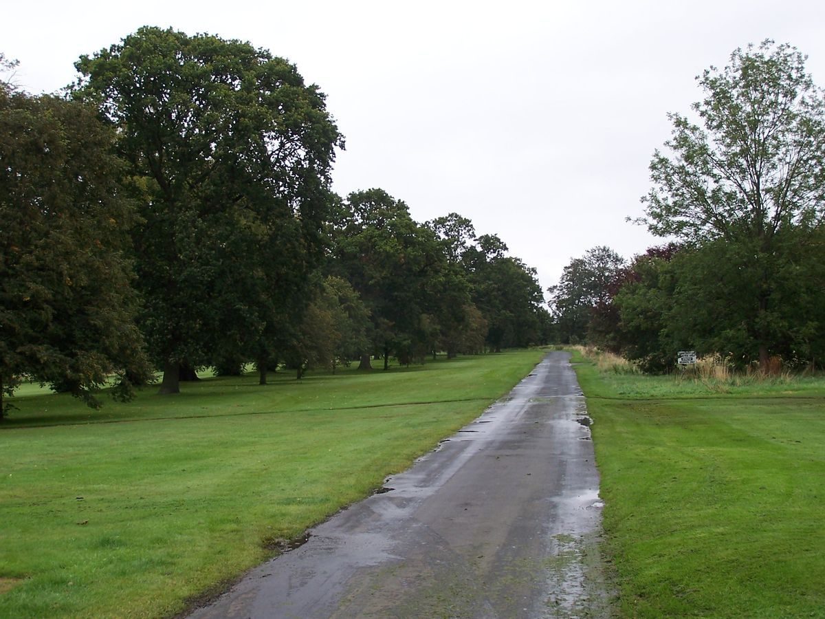
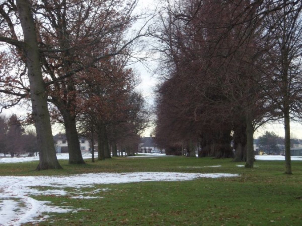
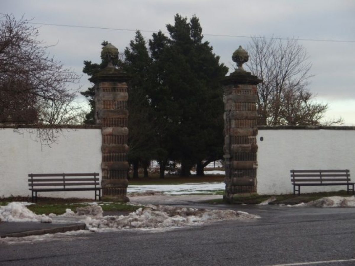
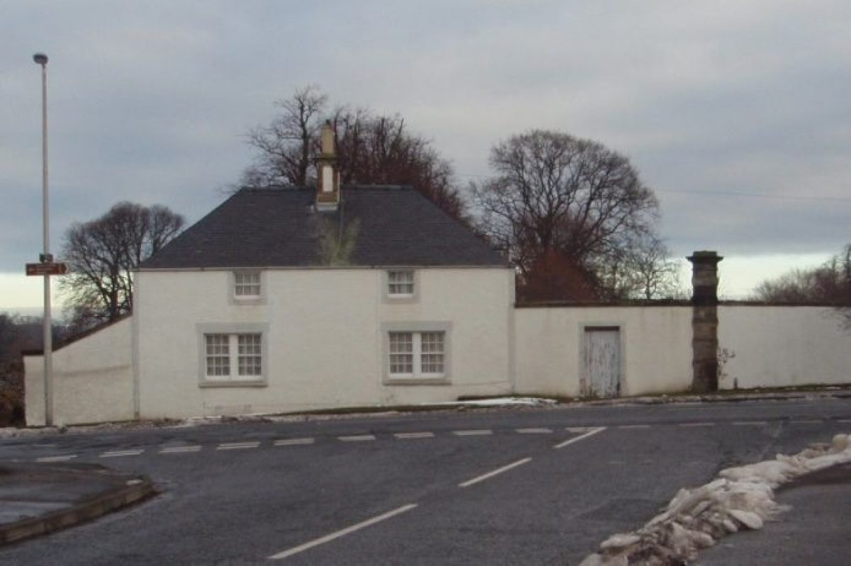
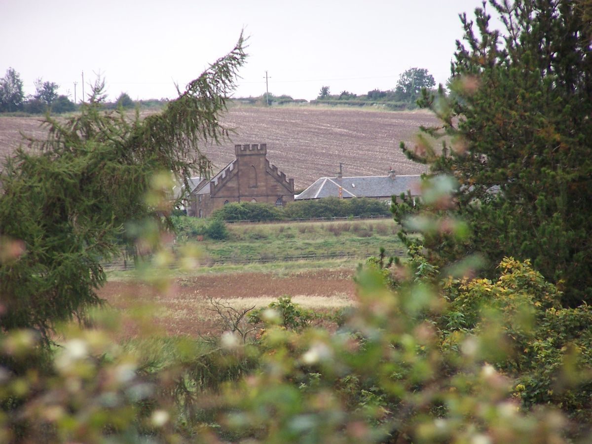
Formerly known as Newmills, Amisfield Park is an 85 hectare landscaped estate lying to the north-east of Haddington. The landscape structure which survives today dates back to the mid-18th century when an existing layout was remodelled as the setting for the ‘new' Palladian Amisfield House built for Francis Charteris, later the 7th Earl of Wemyss. The house was demolished in 1928 and the site is now occupied by Haddington Golf Club's clubhouse. However many other architectural features on the estate have survived and are now statutorily listed, although some are in a poor state of repair. These include the stable block, ice house, walled garden and gate piers. The principal approach to the house, and now the clubhouse, is from the west across the former parkland, which has been used as a golf course since 1865 and along which some of the original tree planting survives. Much of the woodland planting on the estate was felled during World War 1, and the balance of the parkland to the north of the River Tyne is now arable farmland. Of particular note is the late-18th-century walled garden, with its four neo-classical stone pavilions, which Amisfield Preservation Trust has started to restore and open to the public.
Further details about Amisfield are available on the Royal Commission on the Ancient and Historic Monuments of Scotland website: http://canmore.rcahms.gov.uk/e...
REFERENCES
1. MAPPED SOURCES
Unless otherwise stated all maps referenced are from the online National Library of Scotland Map Collection: http://maps.nls.uk
East Lothian (1682) - Johanne Adair
A Map of East Lothian (circa 1736) - J Adair
Military Survey of Scotland: Lowlands (circa 1755) - William Roy
Map of Haddingtonshire (1799) - William Forrest
Map of the Southern Part of Scotland (1821) – John Ainslie
Haddington (1822) – John Thomson
Map of the County of Haddington (1824) – T. Sharp, C. Greenwood & W. Fowler
Map of the County of Haddington (1844) – T. Sharp, C. Greenwood & W. Fowler
Ordnance Survey First Edition Inches to 1 mile Sheet 10 Surveyed 1853 Published 1855
Ordnance Survey Second Edition 25 Inches to 1 mile Sheet X.3 Surveyed 1893 Published 1894
Ordnance Survey Second Edition 25 Inches to 1 mile Sheet X.7 Surveyed 1893 Published 1894
Ordnance Survey Second Edition Six Inches to One Mile Sheet X.NE Surveyed 1893 Published 1895
Ordnance Survey Six Inches to One Mile 1906 Edition Sheet X.NE Revised 1906 Published 1908
Ordnance Survey 25 Inches to One Mile 1906 Edition Sheet X.3 Revised circa 1906 Published 1907
Ordnance Survey 25 Inches to One Mile 1906 Edition Sheet X.7 Revised circa 1906 Published 1907
Ordnance Survey Six Inches to One Mile 1946 Edition Sheet X.NE Revised 1946 Probably Published circa 1950
2. PRIMARY & DOCUMENTARY SOURCES
Circa 1750 ‘Plan of Lands of Amisfield Crofts, Nunside and Sprotlands’ – original at Gosford Huse, copy at National Records of Scotland NRS RHP 8769nd)
Cashbooks held at Gosford House:
Cashbook 2 1756-1763
Cashbook 3 1764-1773
Cashbook 4 1773-May 1798
Cashbook 5 1798 -14 August 1808
1783 ‘A Plan of Intended Improvements of the Gardens of the Honourable Francis Charteris esq. at his Seat at Amiesfield’ James Shiells RCAHMS ELD/29/6
Plans of various hothouses possibly 1785 held at Gosford House
Various receipts for seeds, peach house frames, building works
1797 Plan ‘Amisfield Pleasure Grounds’ possibly John Ainslie – original at Gosford House, slightly different version at RCAHMS ELD/29/8
1872 Plan of Amisfield RCAHMS ELD/29/7
3. HISTORICAL ILLUSTRATIONS & PICTORIAL SOURCES
1768 Drawing of north elevation, Amisfield House RCAHMS B41933
1906 Post card of Amiesfield Gardens showing greenhouses in walled garden
Undated photograph of south view of Amisfield House RCAHMS EL/2136
Undated photograph of Amisfield Stables RCAHMS EL/6139
Undated photograph of north view of Amisfield House RCAHMS EL/2135
1947 Aerial Photograph RCAHMS Sortie CPE/Scot/UK205
1975 Photograph of Summerhouse RCAHMS EL/6132
Circa 2012 Google and Bing Maps Satellite Imagery
4. BIBLIOGRAPHY OF PUBLISHED SOURCES
A Tour Through Scotland – R Pococke (1760)
Statistical Account of Haddington in The Statistical Account of Scotland ed. Sir John Sinclair (1791-99) vol 6 pp535-554
The Parish of Haddington in The New Statistical Account of Scotland, Rev R Lorimer & Rev J Cook (1834-35) vol 2 pp1-17
Amisfield Park: Discovering a Hidden Landscape - Amisfield Woodland Group (2001)
Amisfield Walled Garden Historic Survey & Development Plan – Peter McGowan Associates (2006)
- Visitor Access, Directions & Contacts
Telephone
0131 668 8600Directions
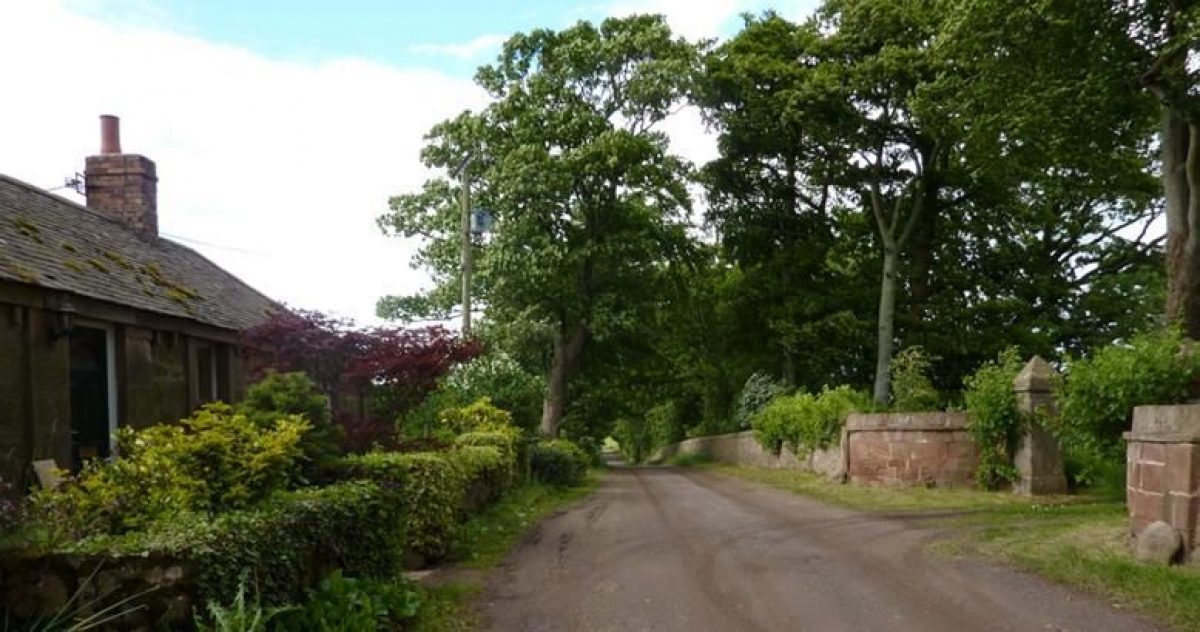
Located immediately east of the town of Haddington on the south side of the River Tyne. Access is via Nungate, Whittingehame Drive.
Owners
Scottish Water
East Lothian Council
- History
In the 12th century the estate formed part of the lands belonging to the Abbey of Haddington. In the 1560s the land was sold to William Maitland of Lethington (Lennoxlove). It was sold again in 1681 to Colonel James Stanfield, who established a large woolen mill by the River Tyne and built New Mills House. In 1713 the estate was bought by Colonel Francis Charteris who changed its name to Amisfield after his ancestral home in Dumfriesshire. Extensive tree planting was carried out including avenues and perimeter plantations.
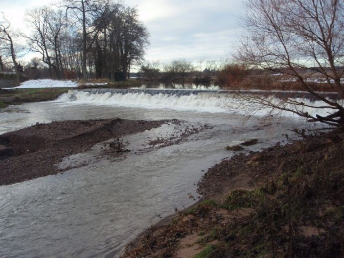
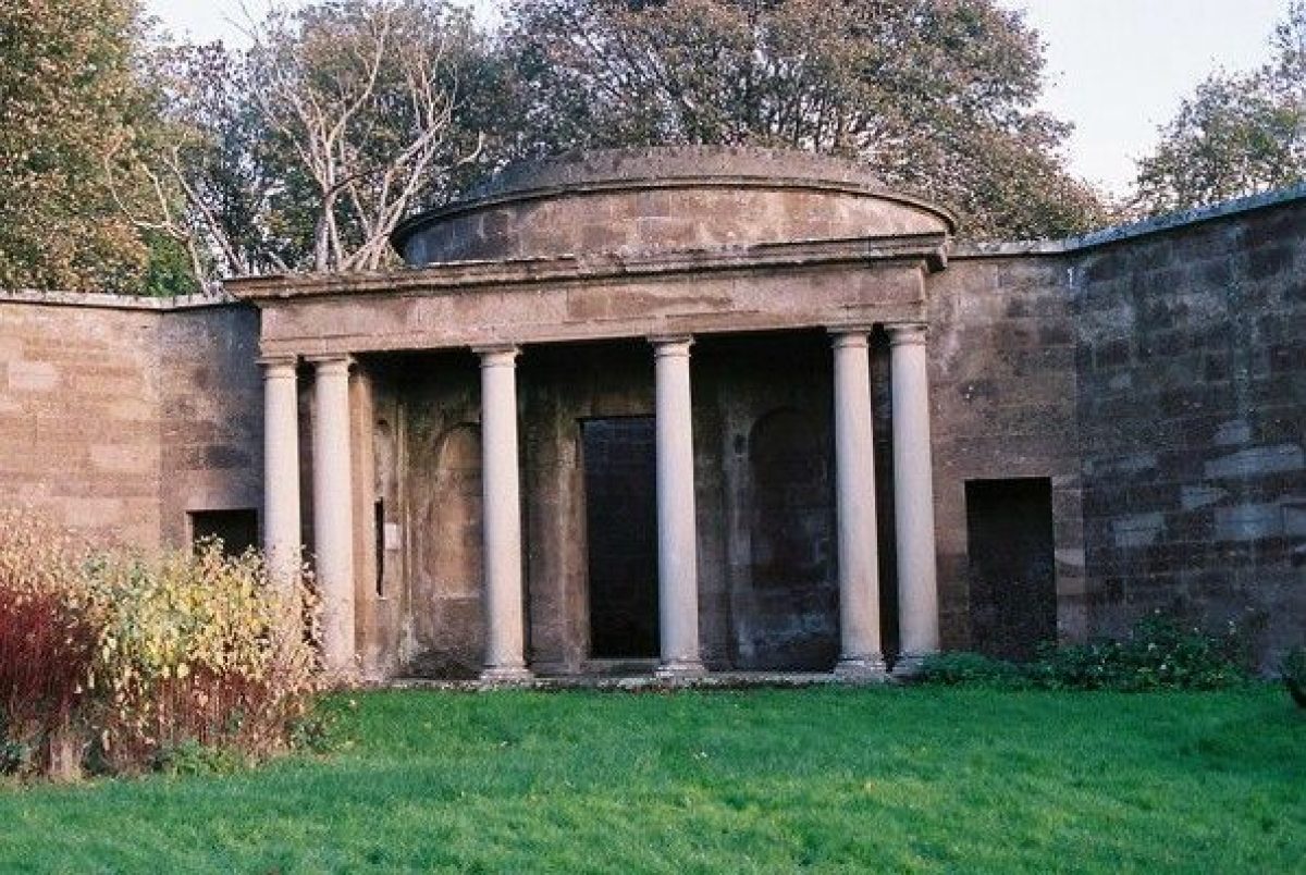
Amisfield House was built in in 1755 for Francis Charteris (later 7th Earl of Wemyss) by John Baxter to designs by Isaac Ware and the landscape remodeled to create sweeping parkland. The course of the River Tyne was altered and the cascade and force pump constructed, various pavilions and summerhouses set in the landscape, ornamental gardens created to the south of the house, perimeter plantations extended and a kitchen garden laid out to the north-east of the house. A new walled garden was built by John Henderson in 1783 to the east of the house, replacing the kitchen garden, He also undertook alterations to Amisfield House and built the Stable courtyard.
In 1865 the parkland began to be used as a golf course. The army requisitioned Amisfield House in World War 1 and much of the woodland was felled, Amisfield House being demolished in 1924. In 1944 Amisfield Park was used as a prisoner of war camp and later as a displaced persons camp. The walled garden was ploughed and used to grow grain, and was later used as a market garden. Amisfield Park was sold to Haddington Town Council in 1969. The parkland continued to be used as a golf course and the town sewage works were built on the banks of the River Tyne. During the 1980s the walled garden was planted as a tree nursery and in 1999 Amisfield Preservation Trust was established with the objective of preserving and restoring Amisfield Park and its buildings for public benefit.
- Associated People
- Features & Designations
Designations
Historic Environment Scotland Listed Building
- Reference: Historic Scotland Ref. 10829
- Grade: C
Historic Environment Scotland Listed Building
- Reference: Historic Scotland Ref. 43528
- Grade: C
Historic Environment Scotland Listed Building
- Reference: Historic Scotland Ref. 43530
- Grade: C
Historic Environment Scotland Listed Building
- Reference: Historic Scotland ref. 47924
- Grade: C
Style
Classical Landscape
Features
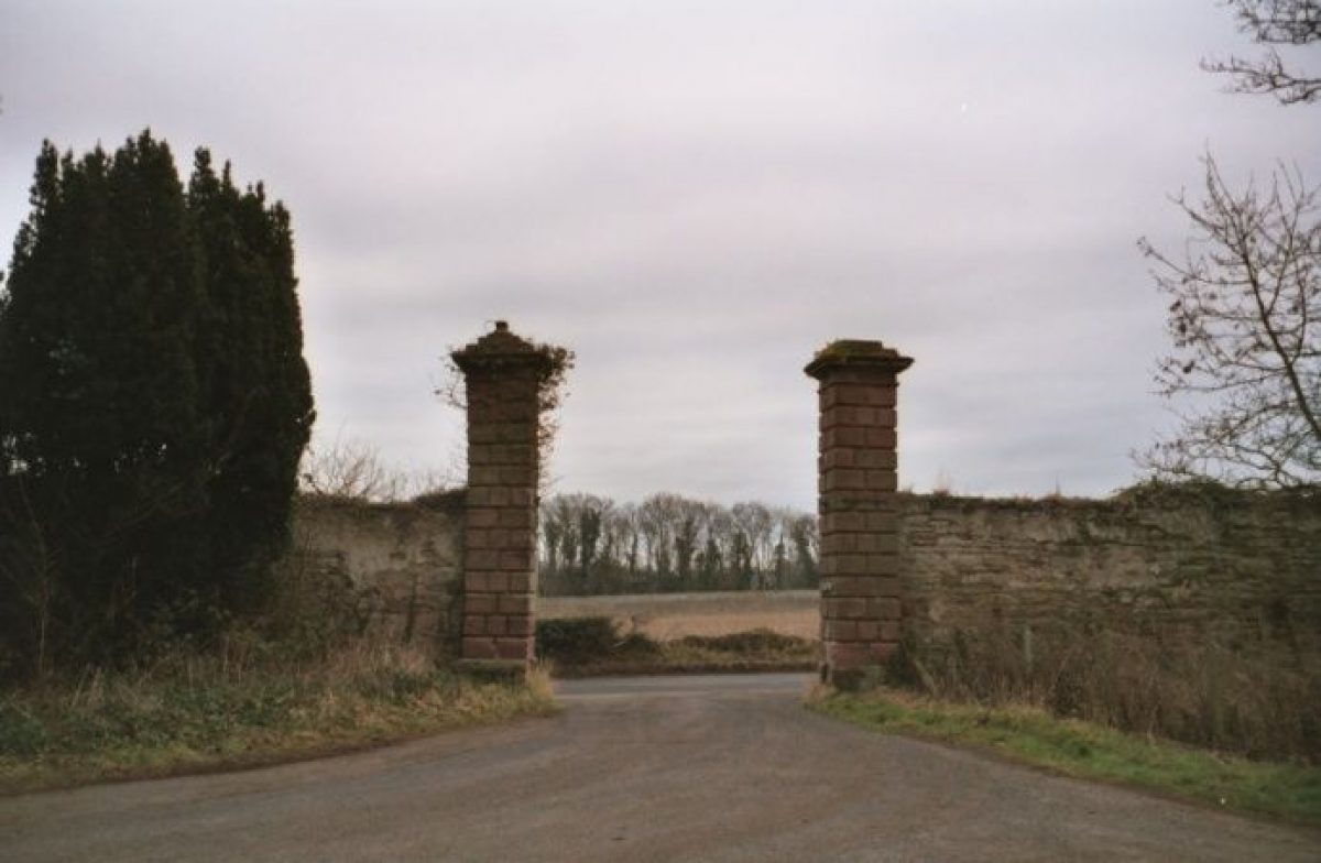
- Gate Piers
- Description: East Gate.
- Earliest Date:
- Latest Date:
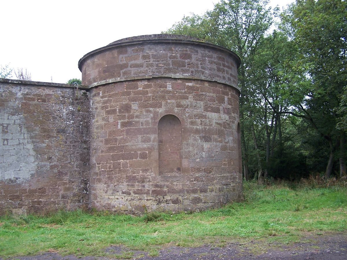
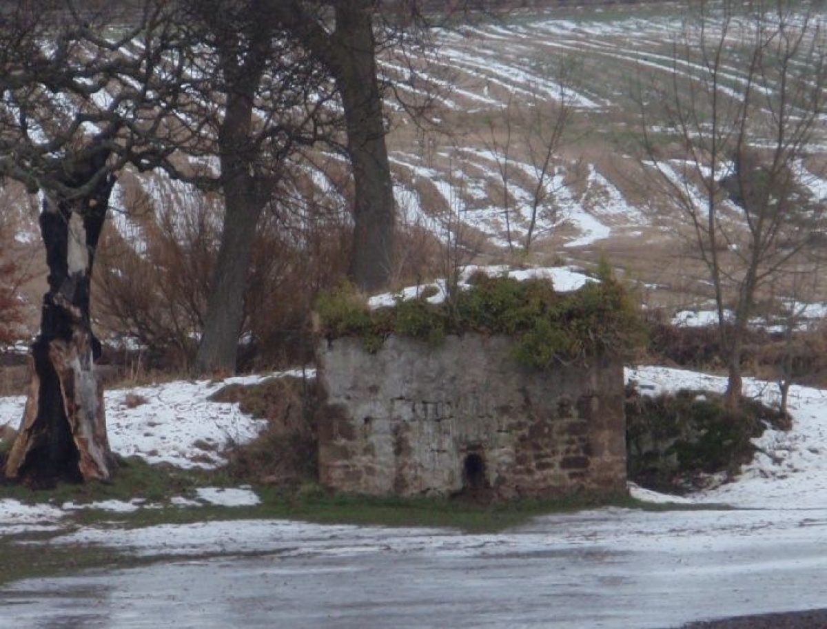
- Icehouse
- Description: Ice-house or force-pump.
- Earliest Date:
- Latest Date:
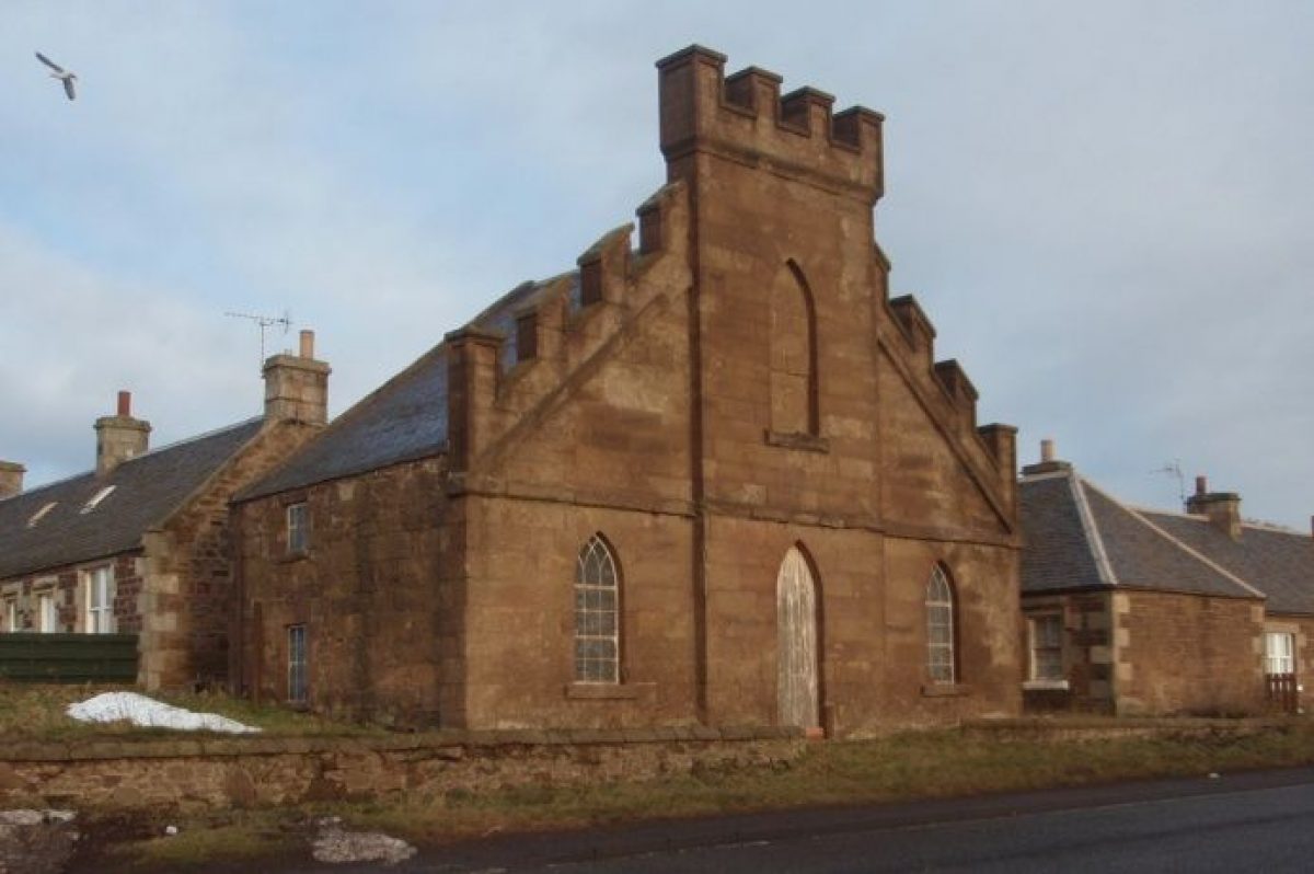
- Gate Lodge
- Description: Amisfield Park Gates with Amisfield Cottage and West Lodge.
- Earliest Date:
- Latest Date:
- Doocot
- Description: Gothic Garden House or Old Doocot possibly by Robert Mylne (1733-1811).
- Earliest Date:
- Latest Date:
- Summerhouse
- Description: Temple or summerhouse, probably by Isaac Ware.
- Earliest Date:
- Latest Date:
- Pavilion
- Description: Walled garden with four corner pavilions by John Henderson
- Earliest Date:
- Latest Date:
- Ha-ha
- Description: Constructed in 1783 but with later alterations.
- Earliest Date:
- Latest Date:
- Gate Lodge
- Description: Gothic lodge.
- Earliest Date:
- Latest Date:
- Boundary Wall
- Description: Extensive boundary wall enclosing the policies of the former Amisfield House.
- Earliest Date:
- Latest Date:
- Cascade
- Description: Weir or cascade on the river Tyne.
- Earliest Date:
- Latest Date:
- Well Head
- Description: Wellhead in semi-ruinous condition.
- Earliest Date:
- Latest Date:
- Key Information
Type
Estate
Purpose
Recreational/sport
Survival
Part: standing remains
Hectares
85
Electoral Ward
Haddington East/Athelstaneford
- References
Contributors
East Lothian Landscape and Garden Recording Project
The Garden History Society in Scotland
Kate Rycroft
- Related Documents
-
CLS 1/996/1
Amisfield Walled Garden : Historic Survey and Development Plan - Digital Copy
Peter McGowan Associates and Others - 2006
-
CLS 1/996/2
Amisfield Walled Garden : Historic Survey and Development Plan, Figures - Digital Copy
Peter McGowan Associates and Others - 2006
-
CLS 1/996/1