Introduction
Mayfield Park is a municipal park in the south-east of Southampton with wooded gardens, a walled garden and playing fields.
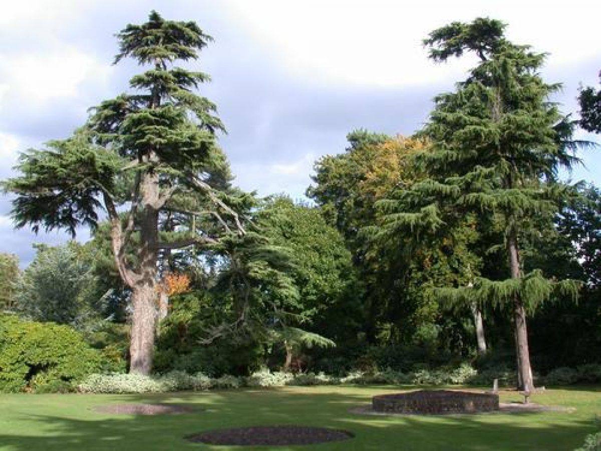
Mayfield Park is situated between Woolston and Weston. The 100-year-old house was demolished in 1956, but thanks to the 4th Baron Radstock, the wooded gardens and playing fields remain a priceless amenity to the population of Southampton. The gardens and playing fields are very well maintained and used by local people.
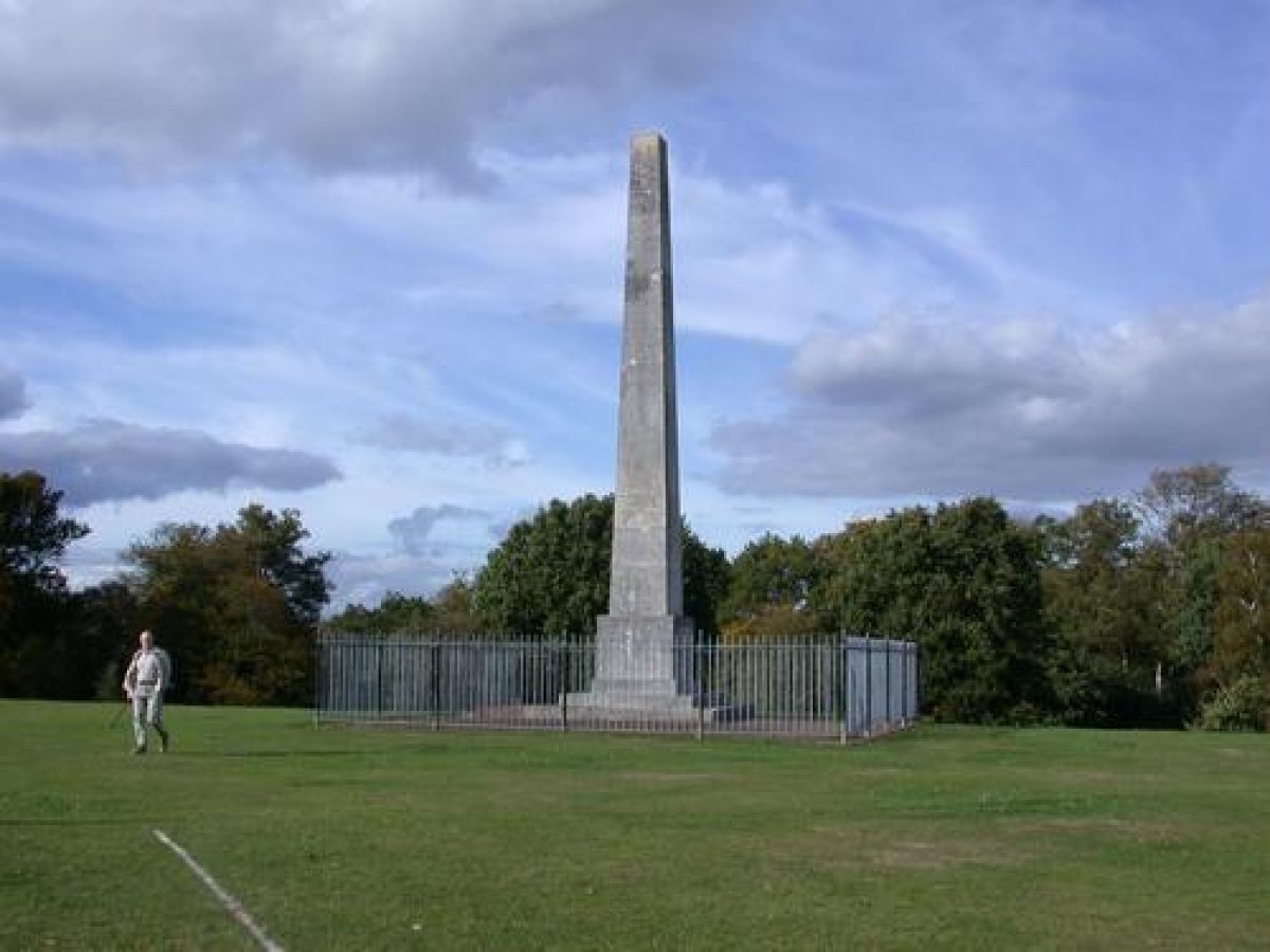
The playing fields are separated from the gardens by a gully, the south and west side of which is covered by rhododendron thicket. The obelisk erected in memory of Charles James Fox stands at the northern end of the playing fields.
The nursery in the kitchen garden was closed in 1992 and the greenhouses became derelict until 1995, when they were leased to the charity Mind, who now run a project for mentally disabled people.
- Visitor Access, Directions & Contacts
Access contact details
This is a municipal park for general public use. http://www.southampton.gov.uk/leisure/southamptonparks/parks/mayfield-park.asp
Directions
The site lies between the A3025 Portsmouth Road and Weston Lane, immediately south of the railway line.
Owners
Southampton City Council
Civic Centre, Southampton, SO14 7LY
- History
In 1854 Colonel Robert Wright bought 35 acres (14.16 hectares) of land from William Chamberlayne of Weston Grove Estate. This area became Mayfield Park and included the obelisk (built by Chamberlayne in memory of Charles James Fox).
Mayfield House, with its stable block, walled kitchen garden and lodge, was built two years later, on the northern end of the park. After Colonel Wright's death, his widow and son continued to live there until it was sold to the 3rd Baron Radstock in 1889. The Baron was a noted evangelist who travelled extensively, while making Mayfield his main home. In 1913, the 4th Baron succeeded him and continued to live there until his death in 1937. The house was used during World War One as an annexe for the Royal Victoria Hospital at Netley. It was sold to Southampton Corporation in 1937.
The 4th Earl's will states that the estate should be retained as a public open space, and the park was opened to the public in 1938. During World War Two the house was occupied by Free French soldiers after Dunkirk, and later housed evacuees from the Chapel area of the town, which led to severe deterioration of the fabric.
The house was demolished in 1956 and the bowling green was built on the site in 1960. The council continued to develop the gardens and adjoining playing fields. In 1982 greenhouses were built in the walled kitchen garden, where bedding plants were grown for the City's gardens. During the two great storms of 1987 and 1990 a large number of trees were lost, which have been gradually replaced. Many mature trees survive and create a woodland setting to the south and east of the bowling green.
The wall of the kitchen garden forms a backdrop for the herbaceous border. The lawn, with island beds, fills the remaining area (where the orchards were) and is surrounded by mature trees.
- Key Information
Type
Park
Purpose
Recreational/sport
Principal Building
Parks, Gardens And Urban Spaces
Survival
Extant
Hectares
14.16
Open to the public
Yes